Jackson, Mississippi
Weather Forecast Office

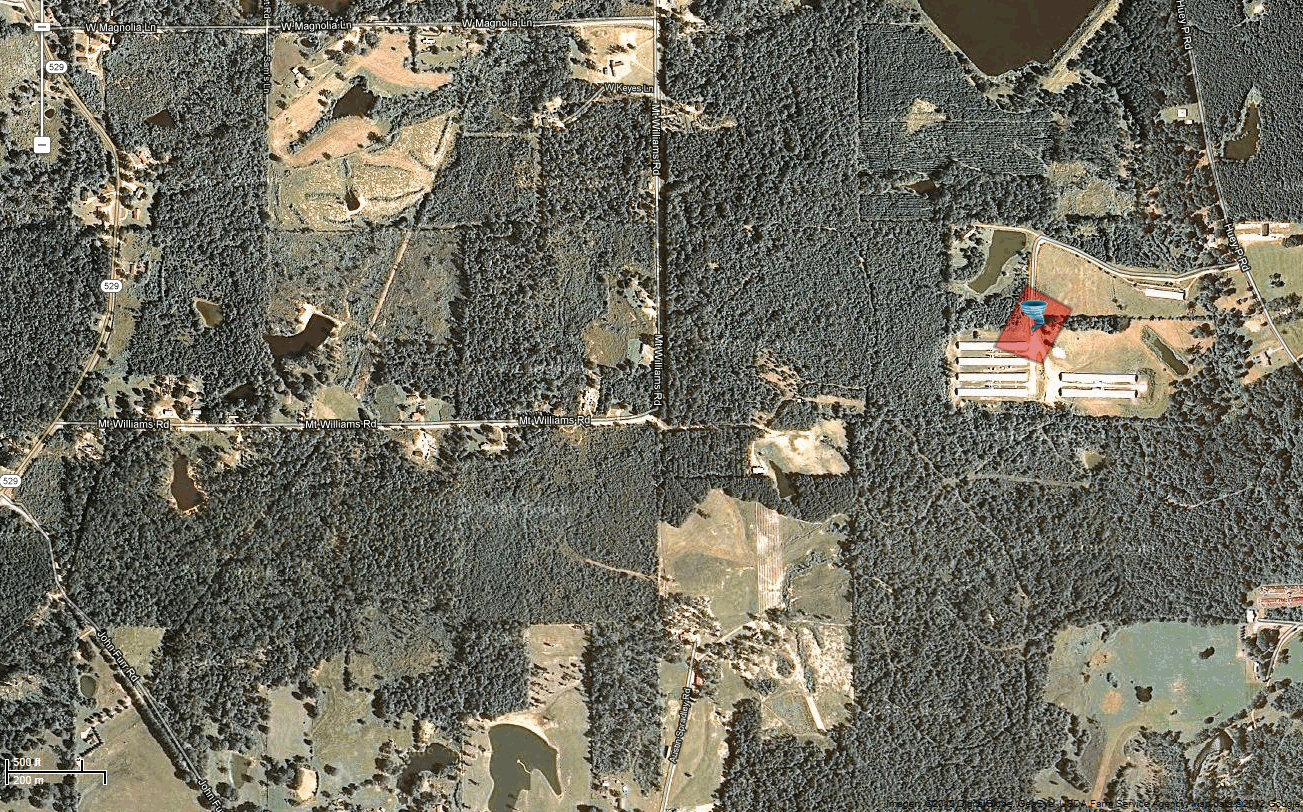
March 21, 2012 Jones County Tornado
Click on Map Below to Zoom In/Out and View Damage Notation
|
Event Summary
There was a brief tornado touchdown at a chicken farm on Huey P Road which caused heavy roof damage to one chicken house and uprooted a tree. |
|
US Dept of Commerce
National Oceanic and Atmospheric Administration
National Weather Service
Jackson, Mississippi
234 Weather Service Dr.
Flowood, MS 39232
601-936-2189
Comments? Questions? Please Contact Us.

