Jackson, Mississippi
Weather Forecast Office
Yazoo County Tornado
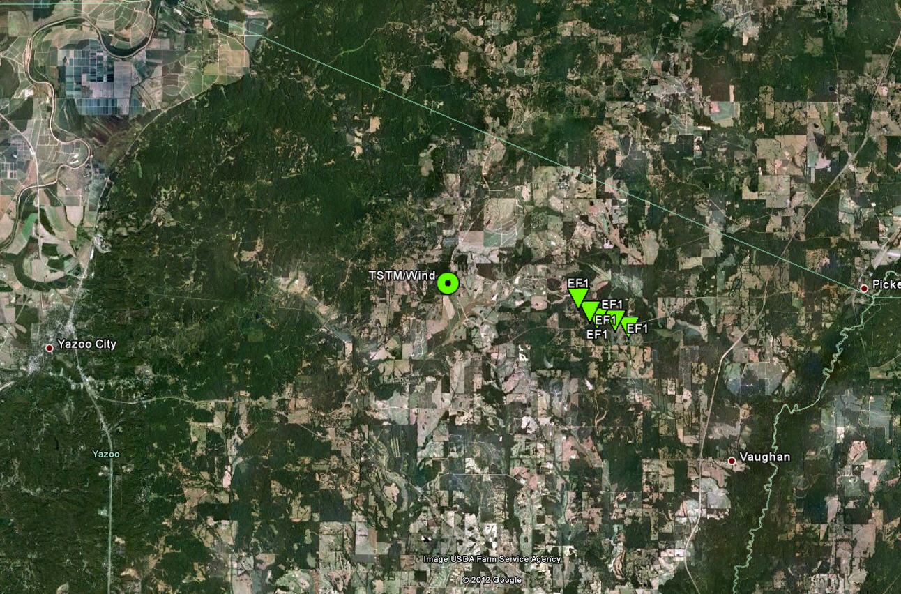
Click on the map above for a detailed, interactive track map and damage pictures.
|
Event Summary This tornado primarily caused tree damage. |
|
US Dept of Commerce
National Oceanic and Atmospheric Administration
National Weather Service
Jackson, Mississippi
234 Weather Service Dr.
Flowood, MS 39232
601-936-2189
Comments? Questions? Please Contact Us.

