Jackson, Mississippi
Weather Forecast Office
Jones County Tornado
Tornado Track Map
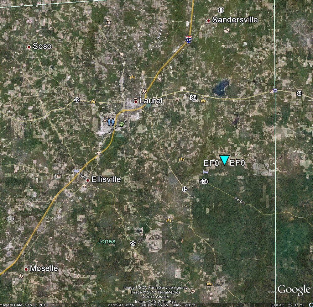
Click on the map above for a detailed, interactive track map and damage pictures.
|
Event Summary A brief tornado touchdown took the metal roof off of a building along Weber Jordan Road. |
|
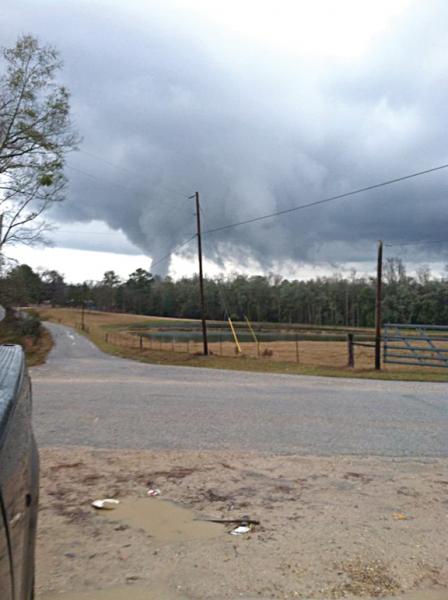
Photos
This is an image of the eastern Jones County tornado. Taken by Jeremy Strickland and relayed by Jason Niblett of The Chronicle newspaper in Jones County.
US Dept of Commerce
National Oceanic and Atmospheric Administration
National Weather Service
Jackson, Mississippi
234 Weather Service Dr.
Flowood, MS 39232
601-936-2189
Comments? Questions? Please Contact Us.

