Jackson, Mississippi
Weather Forecast Office

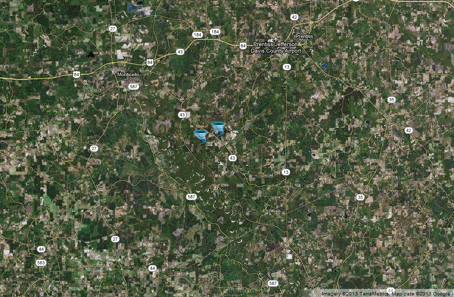
Lawrence County Tornado
Click on map above to see entire event tracks and damage point notation
|
Event Summary This tornado started in a wooded area between River Road and GW Smith Road. As it moved ENE it snapped and uprooted a couple dozen hardwood and softwood trees along GW Smith Road. It also downed a couple power lines. Several hay barns were damaged with tin thrown along the path. A well defined convergent pattern was noted with the tree damage. Also along this road, a mobile home had the front porch removed and three other homes sustained minor roof damage. This tornado dissipated as it crossed highway 43. |
|
US Dept of Commerce
National Oceanic and Atmospheric Administration
National Weather Service
Jackson, Mississippi
234 Weather Service Dr.
Flowood, MS 39232
601-936-2189
Comments? Questions? Please Contact Us.

