Jackson, Mississippi
Weather Forecast Office

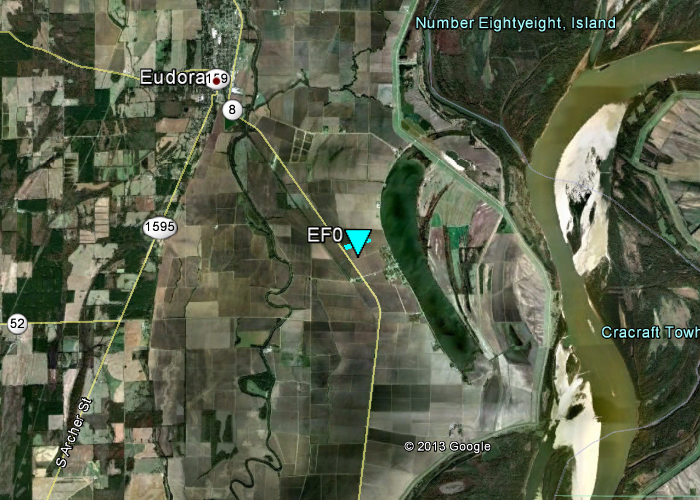
Chicot County Tornado
Click on map above to see entire damage point notation and damage pictures at select points.
|
Event Summary This brief tornado touched down in an open field southeast of Eudora along US Highway 65. A picture was taken (by a trained spotter) as the tornado kicked up dust as it moved in an east-northeastward direction. A condensation funnel was visible and had distinct rotation based off the report. No damage occurred. |
|
US Dept of Commerce
National Oceanic and Atmospheric Administration
National Weather Service
Jackson, Mississippi
234 Weather Service Dr.
Flowood, MS 39232
601-936-2189
Comments? Questions? Please Contact Us.

