Jackson, Mississippi
Weather Forecast Office
December 20th-21st 2013 Severe Weather
Hinds County Tornado
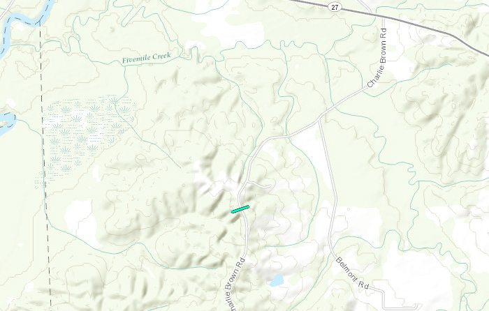
Click on map above to see entire damage point notation and damage pictures at select points.
|
Event Summary This brief tornado touched down along Charlie Brown Road. One tree was down across the road along with several limbs and tree debris scattered in that same area. The tornado dissipated soon thereafter. |
|
US Dept of Commerce
National Oceanic and Atmospheric Administration
National Weather Service
Jackson, Mississippi
234 Weather Service Dr.
Flowood, MS 39232
601-936-2189
Comments? Questions? Please Contact Us.

