April 7, 2014
Covington County Tornado
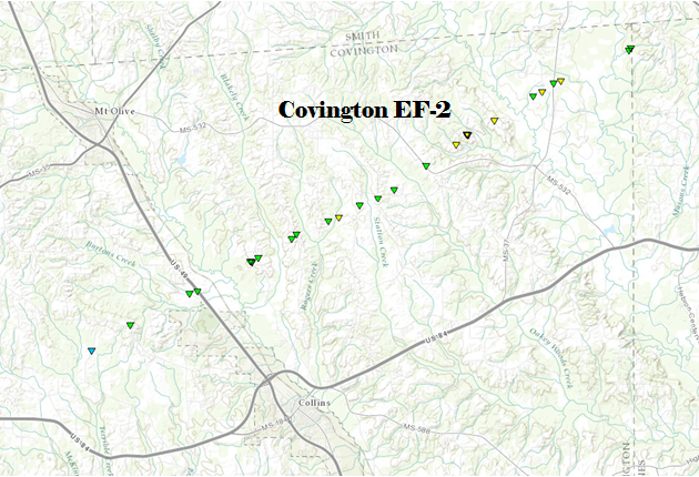
Click on map above to see entire damage point notation and damage pictures at select points.
|
Event Summary Multiple power lines were downed along with numerous trees, two homes had minor damage along rock hill rd. A home had a portion of the roof removed along Highway 49. As the tornado crossed Byrd Town Rd, more high end tree damage occurred with some minor damage to a home and a couple mobile homes. Several sheds and carports were destroyed here as well. The tornado increased in intensity to a low end EF-2 as it crossed George Speed Rd. Here significant tree damage was noted with hundreds of snapped or uprooted pines and hardwoods. A few homes had minor damage as they were on the edges of the tornadic circulation. The tornado weakened some as it moved just north of Jones Chapel Rd and across highway 532. The tornado increased and reached peak intensity, EF-2 (125 mph), as it crossed Vester Pickering Rd. Three mobile homes were destroyed with one well-built brick home having the roof entirely removed. Heavy tree damaged was noted here with power poles and power lines down. Just To the north of Hot Coffee, a large church was heavily damaged with part of the roof removed and some outer brick fallen off the outer wall. Five other brick buildings had minor/major roof damage along with the windows blown out. Dozens of trees were snapped and uprooted here and along Highway 35. The tornado continued to the NE toward the Leaf River where more trees were snapped and downed. The tornado dissipated just inside Jones County where some trees were damaged. |
|

