December 15, 2014 Tornadoes
Event Summary
During the afternoon of Dec 15, just enough ingredients came together to support isolated severe storms ahead of a cold front. Across the Lower Mississippi River Valley, peak heating contributed to decent instability in the developing warm sector in advance of the front. Sufficient low level wind shear and strong winds aloft were also in place as a decent upper low was located to our north. This helped to support organized thunderstorm activity along with a few rotating mini-supercell storms.
A long lived, persistent, storm tracked across the southern counties (roughly a Bude to Taylorsville, Mississippi line) and produced a few funnel clouds and one instance of a brief tornado (southwest of Mize). Along the actual front, a broken line of storms developed. One cell along the line developed some weak rotation and produced a brief tornado near Bovina, Mississippi. Activity weakened during the evening as it pushed east and out of the area around midnight.
Tornado Track Map
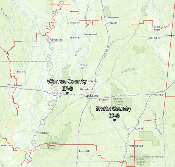
Click on map above to see entire event tracks and damage point notation. Individual track maps also available on individual tornado pages.
Survey Information - Click on the location in the table for additional maps and details
| Location | Start/ End Time |
Event Type | Fatalities/ Injuries |
Path Length | Path Width |
| Warren County 1 N Bovina to 1.7 NE Bovina |
5:56 pm - 6:00 pm |
EF-0 Tornado 85 mph |
none | 1.2 miles | 75 yards |
| Smith County 4.5 SW Mize to 3.0 SW Mize |
5:02 pm- 5:06 pm |
EF-0 Tornado 75 mph |
none | 1.5 miles | 50 yards |
|
Event Summary |
|
|
Event Summary |
|
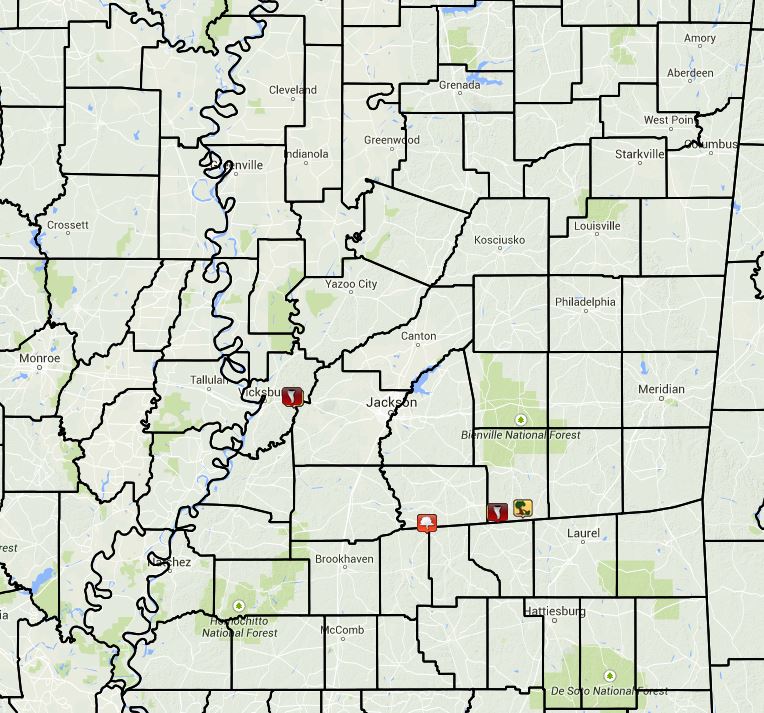
Local Storm Reports
Click on the map below for additional details.

Rainfall Totals
Storm Total Rainfall
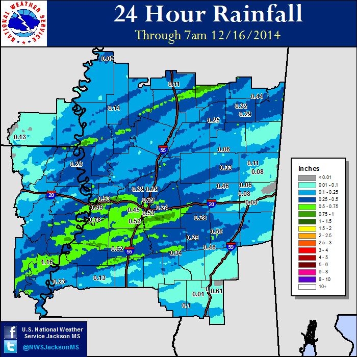
Mississippi Rainfall Totals
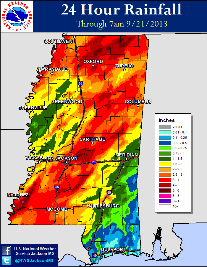
| 9/20 AM - 9/21 AM | 9/21 AM - 9/22 AM |
 |
 |

