Jackson, Mississippi
Weather Forecast Office
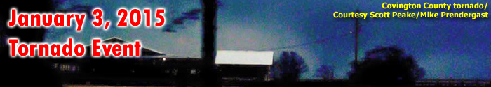
Bailey EF-1 Tornado
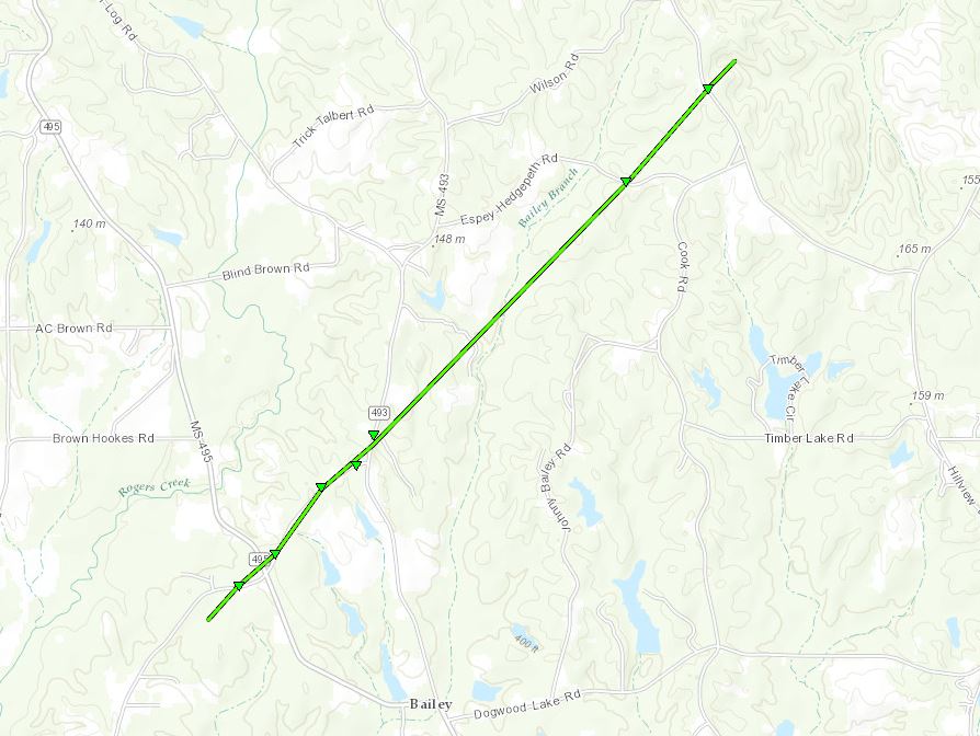
Click on map above to see entire damage point notation and damage pictures at select points.
|
Event Summary |
|
US Dept of Commerce
National Oceanic and Atmospheric Administration
National Weather Service
Jackson, Mississippi
234 Weather Service Dr.
Flowood, MS 39232
601-936-2189
Comments? Questions? Please Contact Us.

