January 6, 2017 Winter Weather
A complex weather pattern eventually evolved into a widespread winter weather event across the area on January 6th, 2017. Strong surface high, near 1030mb, was building into the central and southern Plains. Tuesday, January 2nd, 2017 was much warmer being in the 70s with severe weather and tornadoes, while in the wake over the two days after on Wednesday and Thursday, strong surface high pressure with much cooler air gradually filtered in. The strongest push of strong high pressure and colder air began to move in Friday morning.
A sharp contrast in temperatures existed across the area from the lower Mississippi Valley into the Gulf of America as a stalled frontal boundary stayed situated along the coast. This helped the cold air stay locked in place over the area, with temperatures near freezing Friday morning. In addition, a strong upper level disturbance was helping to promote lift and an area of snowfall moving through Oklahoma/Arkansas region by early Friday morning. This area mostly stayed just to the north of the region. Along and over top of the shallow arctic airmass, as the upper disturbance approached, moisture began to overrun the cold air below by early Friday morning. This moisture gradually overran the entire region by mid-morning. The atmosphere contained a deep melting layer, that as a snowfall fell, it completely melted. However, there was enough of a layer below that near the ground that helped to refreeze most of the precipitation to fall in the form of sleet and freezing rain. Sleet began to fall by early morning over northeast Louisiana by early Friday morning and spreading to the north and east into most of the ArkLaMiss by mid morning to late afternoon. There were some cases of some shallow instability present for some thunder to occur with the sleet.
The main disturbance and lift occurred in the mid-late afternoon and heaviest sleet production occurred during that time, right around rush hour. To make matters worse, temperatures were hovering in the low 30s to upper 20s while precipitation was falling. Overall, with such cold temperatures throughout the afternoon, there was significant sleet accumulation, especially from Franklin Parish in Louisiana, southeast towards Adams County in Louisiana, over to Warren County in Mississippi, throughout the Jackson Metro area and east along I-20 towards Lauderdale County and as far north as Noxubee County. Heavy sleet occurred throughout this region, with some areas approaching a 1/2 to 1 inch of sleet. Some areas in east-northeast Mississippi had enough precipitation with temperatures cooling in the atmosphere to briefly change over to snow as well, near Meridian and east-northeast Mississippi. Most areas in southeast Mississippi were slower to change over to mixed precipitation until later in the event. With cold ground and road temperatures, significant icing and accumulation began across the roadways throughout portions of northeast Louisiana, central, east and northeast Mississippi, especially along the Interstate 20 corridor. This led to significant icing on roadways and bridges, leading to icy roadways and major traffic issues. Many accidents occurred across the region, leading to some major thoroughfares being shut down, at least temporarily, especially for portions of Interstate 55, Interstate 20 and other roadways. This led to many area residents encountering slow downs in traffic and some being stuck for many hours on the roadways. In addition, the Jackson International Airport had to be shut down due to icy runways. The disturbance gradually moved east late evening, helping the precipitation to taper off and move out by late evening, around 9-10PM.
The strong surface high built and strengthened near 1040mb, leading to much colder air filtering in overnight and through the weekend. This led to hard freeze conditions with highs struggling to reach the freezing mark, especially across central and northern areas. A snowpack existed over central Arkansas, northern Mississippi and southern Tennessee. With northerly winds over that snowpack, this helped to lock in even colder air and biting wind chills, with wind chills falling into the single digits over most of the area. Some areas in the Delta stayed below freezing for over 60 hours. This in addition to temperatures falling into the low-mid teens over the next several nights, kept a lot of winter weather accumulation to linger around through the weekend, with icy roadways for the next couple of days into Saturday, January 7th and Sunday, January 8th. This led to significant traffic issues lingering into the early weekend, with roadways gradually improving as some of that melted under full sun by Saturday and mostly gone by Sunday into the start of the following work week. This significant winter weather event will be one that will be remembered for years to come.
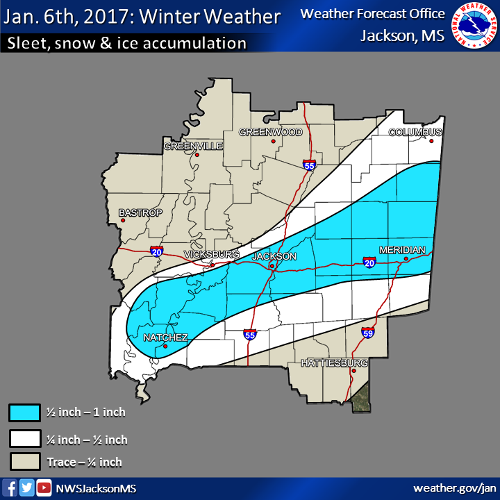
Sleet, Snow & Ice Accumulation Map
Highest reported winter weather accumulation, mainly in the form of sleet, totals on January 6th.
Click to enlarge.
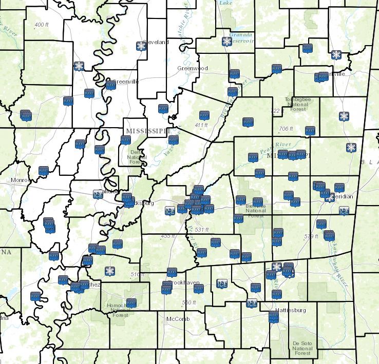
Local Storm Reports
Click on the map for additional details.

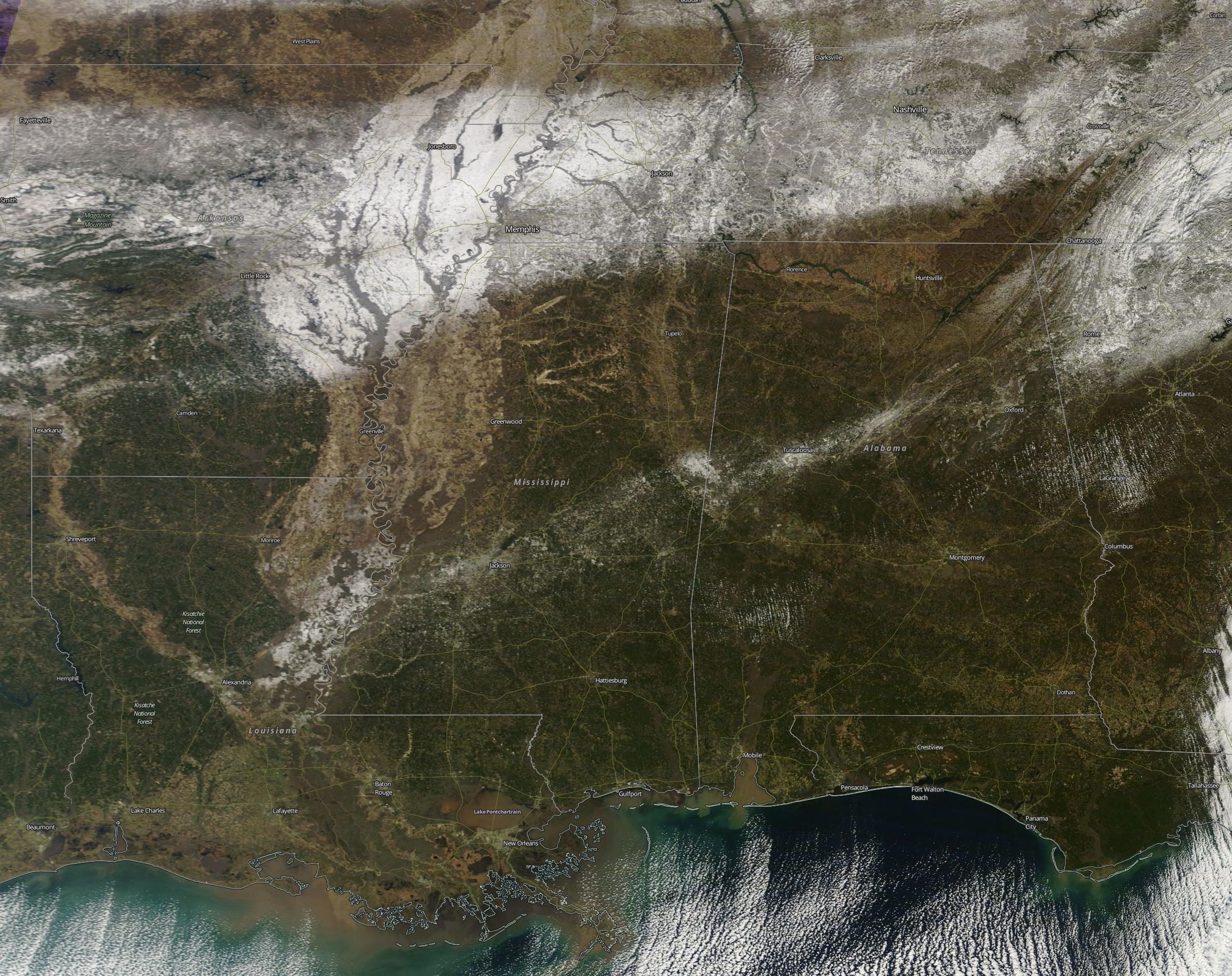
Visible Satellite Image - Snow and Ice Accumulations
Satellite image, taken on January 7th, 2017, of the snow & ice accumulations across the region.
Image courtesy of NASA.
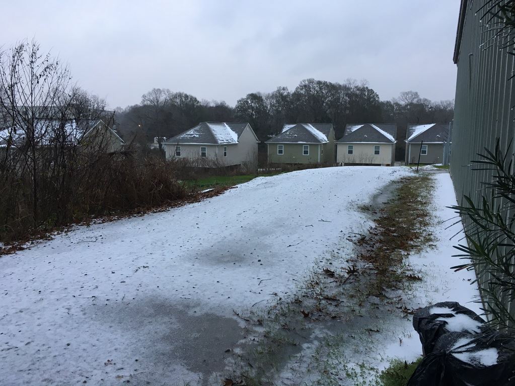
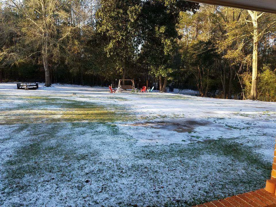
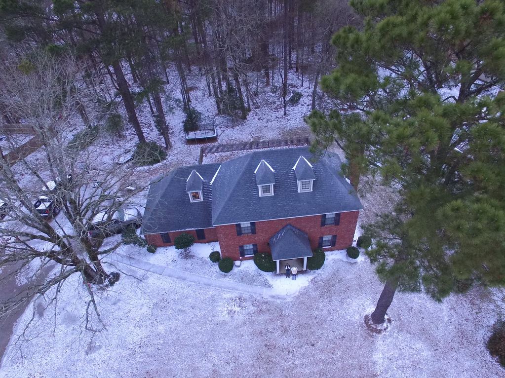
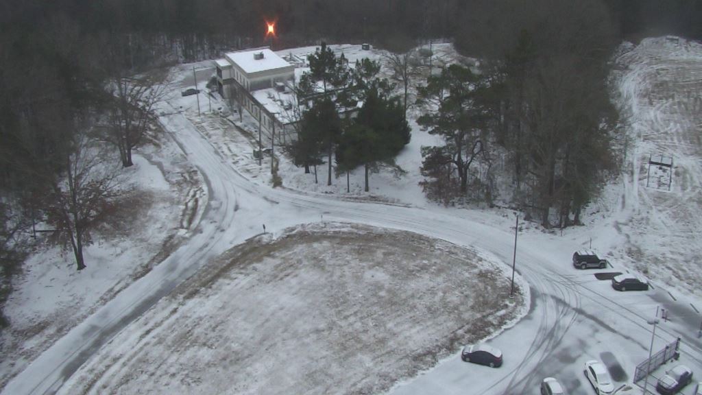
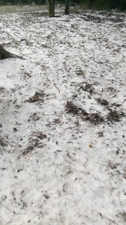
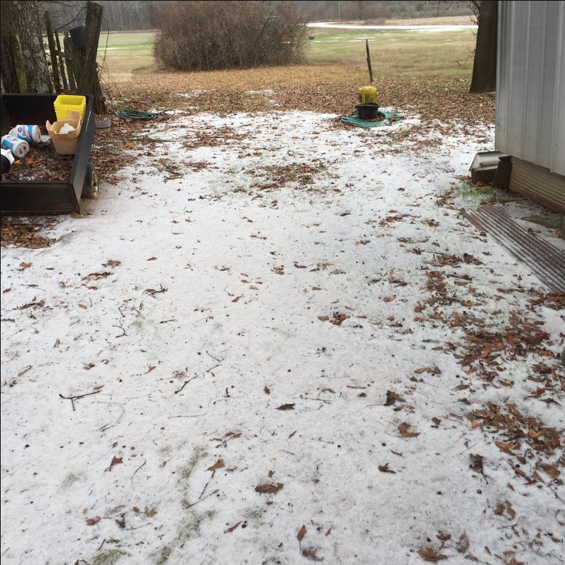
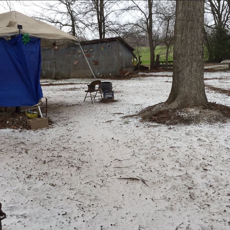
Sleet/Snow Pictures - Click to enlarge
Mississippi
Sleet Pictures
Adams County
- Sleet in Natchez (courtesy of Twitter user @95country):
 |
Choctaw County
- Sleet in Ackerman (courtesy of James Bishop):
 |
Copiah County
- Sleet in Wesson (courtesy of Wendy Smith Hall):
 |
Hinds County
- Sleet in Clinton (courtesy of Twitter user @lamont2g):
 |
- Sleet in Jackson at WAPT(courtesy of David Hartman):
 |
Jefferson County
- Sleet in Union Church (courtesy of Angie Bardwell):
 |
 |
Lauderdale County
- Sleet in Collinsville (courtesy of Deanna Harris Cornish):
 |
Lincoln County
- Sleet in Brookhaven (courtesy of Cody Richardson):
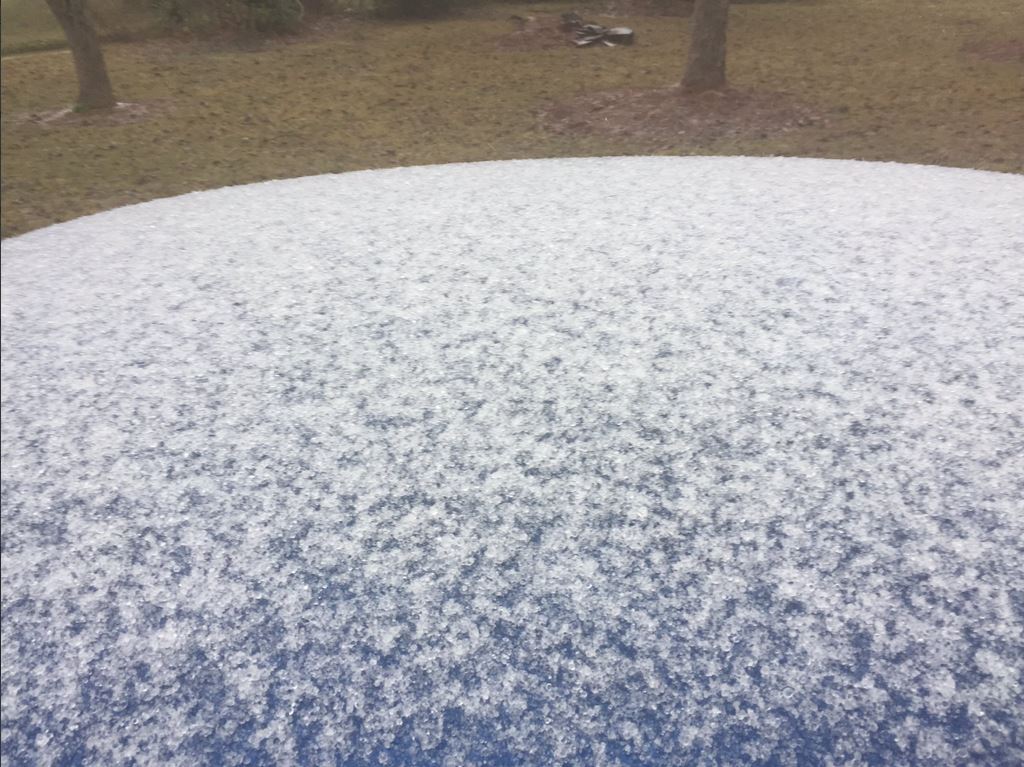 |
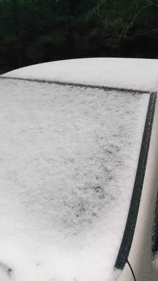
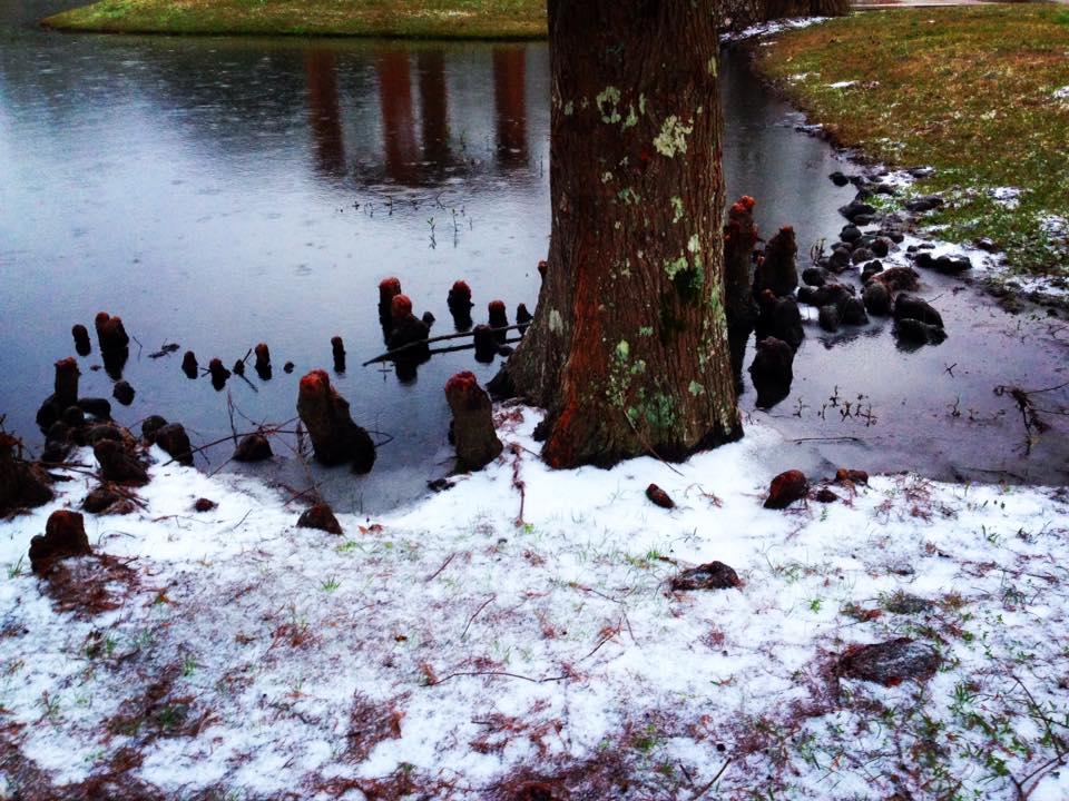
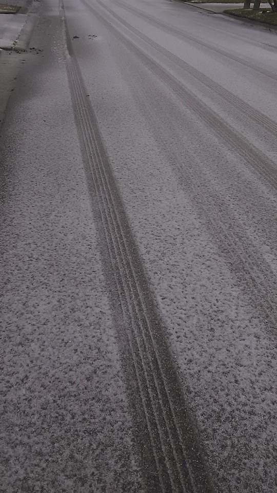
Rankin County
- Sleet in Florence (courtesy of Diana Vineyard):
 |
- Sleet in Pearl (courtesy of Tonya Brooks):
 |
 |
- Sleet at the Ross Barnett Reservoir (courtesy of Twitter user @SevereWeatherMS):
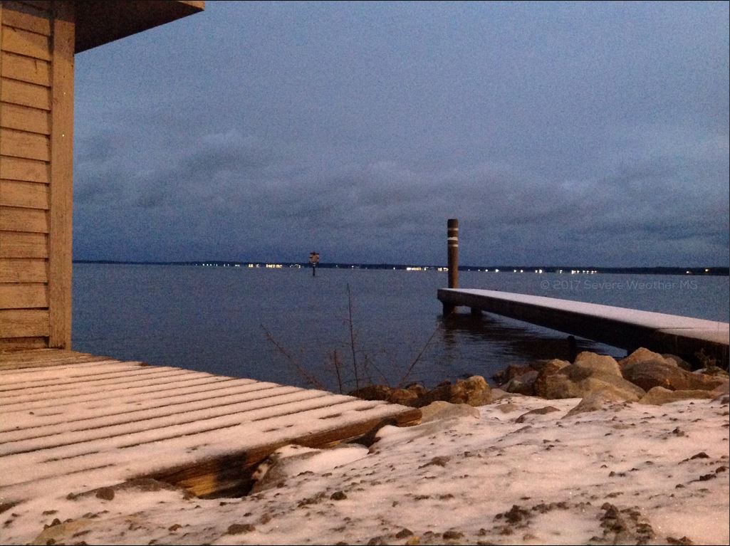 |
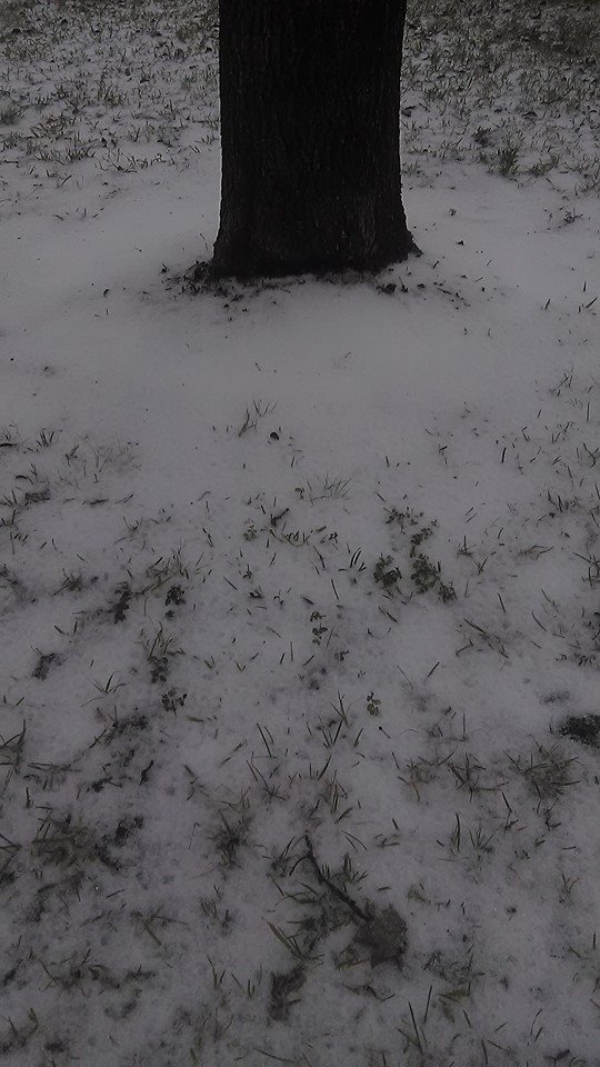
Louisiana
Concordia Parish
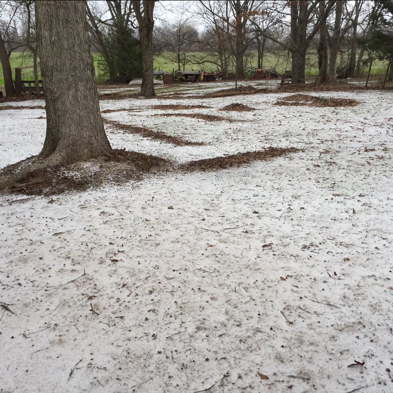
- Sleet in Clayton (courtesy of Eric Barron)
 |
Morehouse Parish
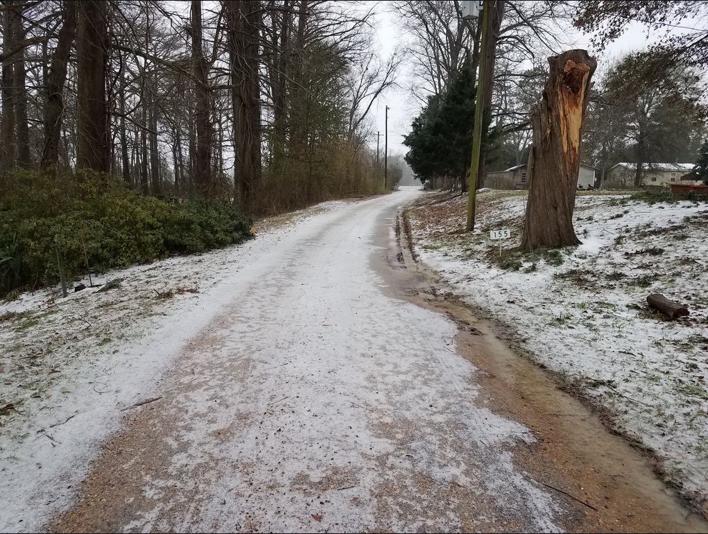
- Sleet in Oak Ridge(courtesy of Eric Blake)
 |
 |
 |
Please submit your pictures to sr-jan.webmaster@noaa.gov .

