
Heavy rain and widely scattered severe storms are expected over portions of the central and southern Plains into the Ohio Valley. Unseasonable warmth will continue for a few more days across the Midwest, Southeast, and Mid-Atlantic where several daily record highs could fall. Read More >
Louisville, KY
Weather Forecast Office
Strength: EF-2
Wind Speed: 125-130 mph
Path Length: 5.0 miles
Path Width: 250 yards Maximum
Estimated touchdown/ending time: 9:55 AM EST - 10:07 AM EST
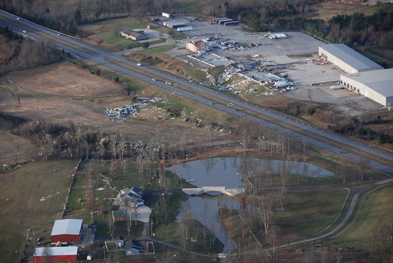
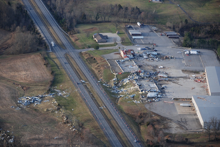
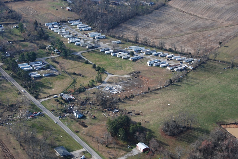
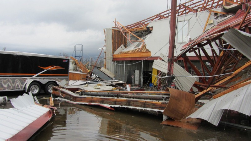
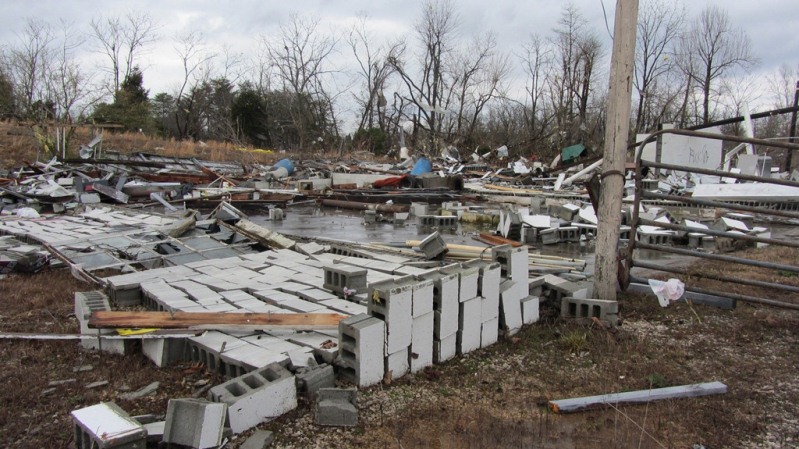
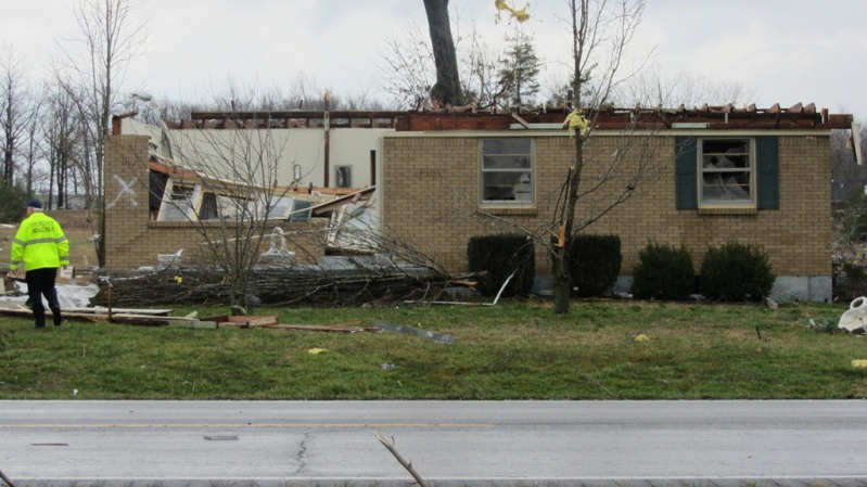
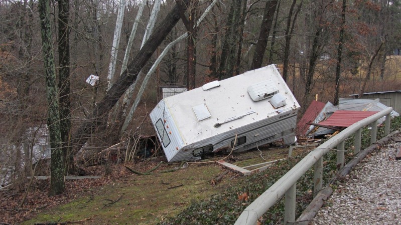
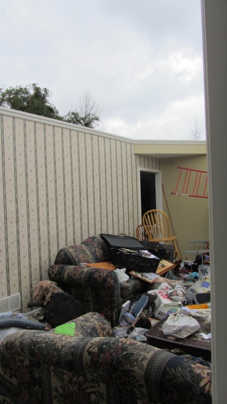
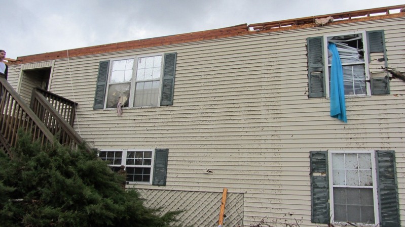
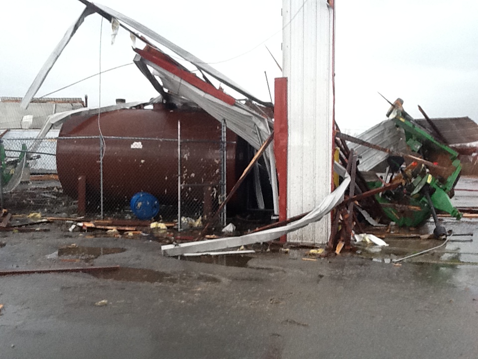
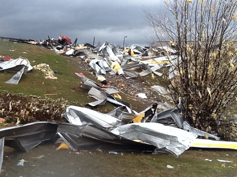
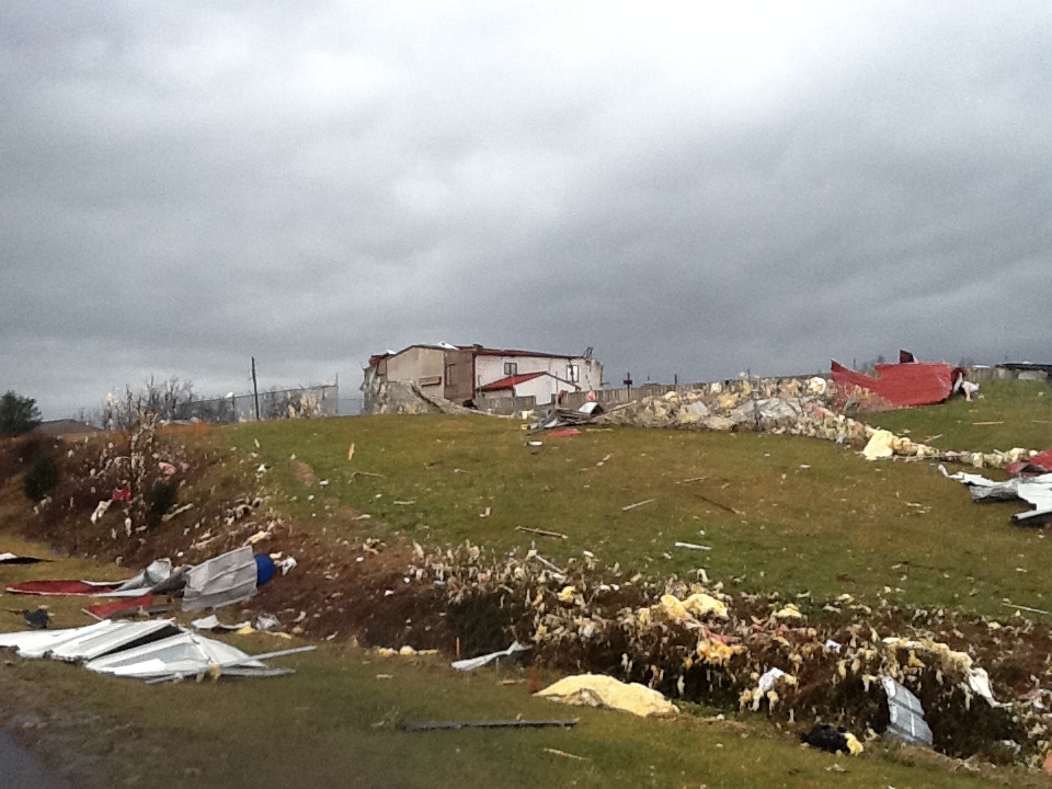
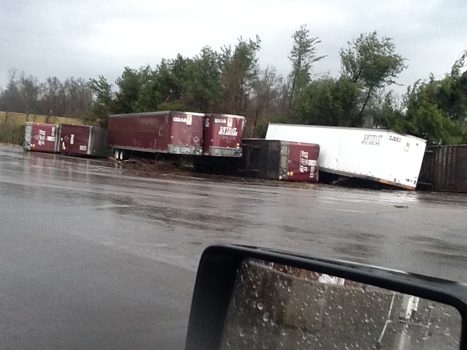
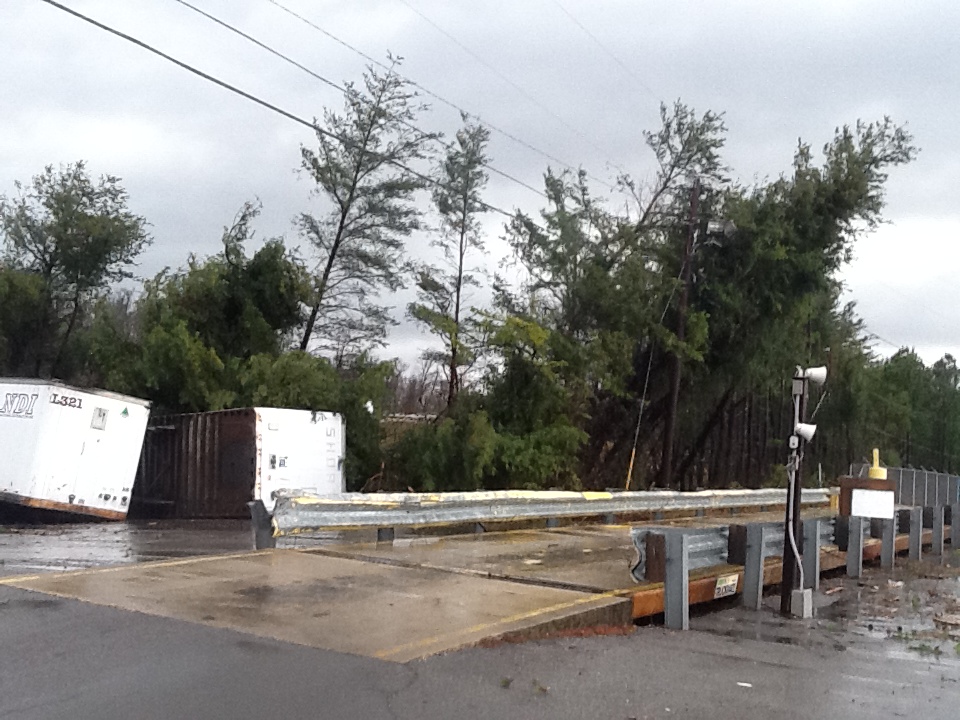
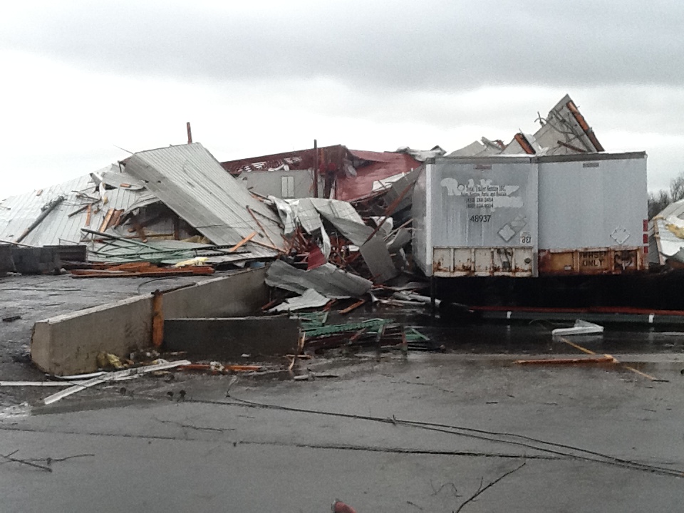
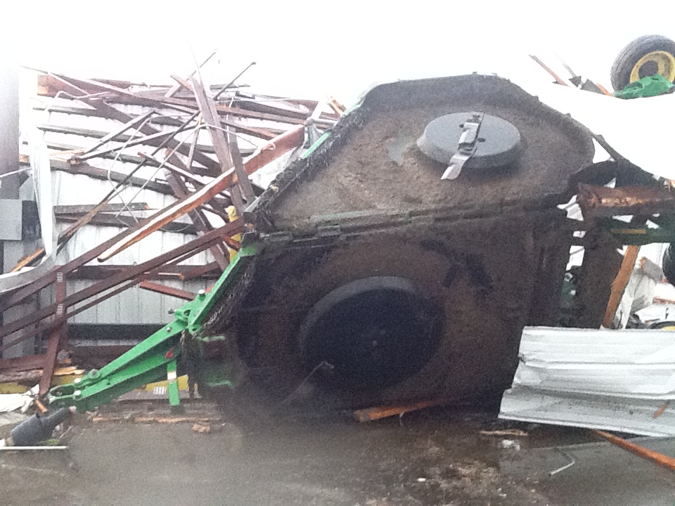
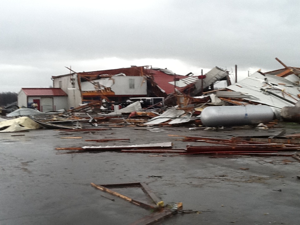
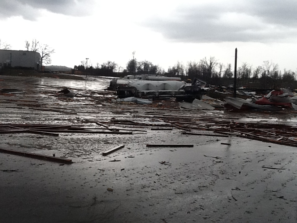
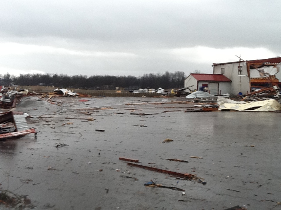
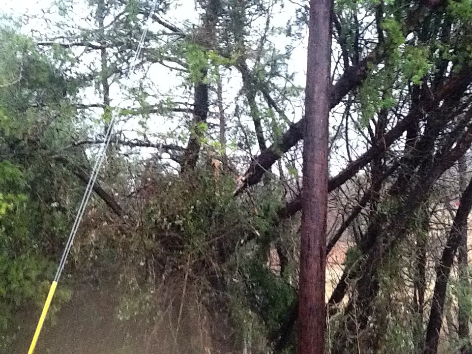
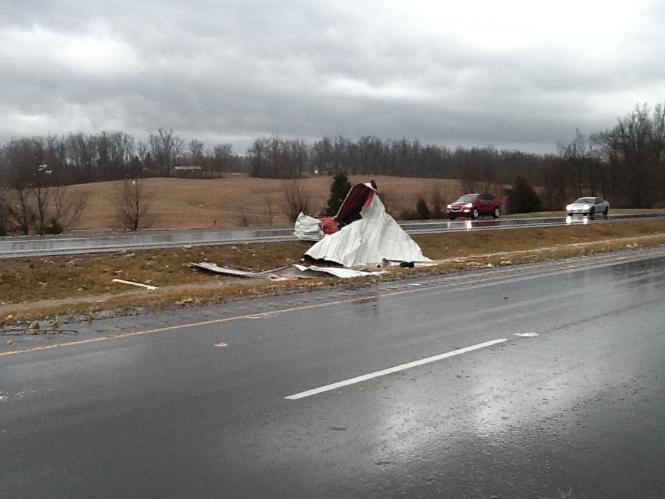
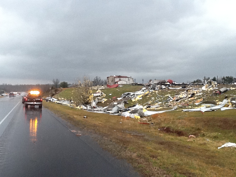
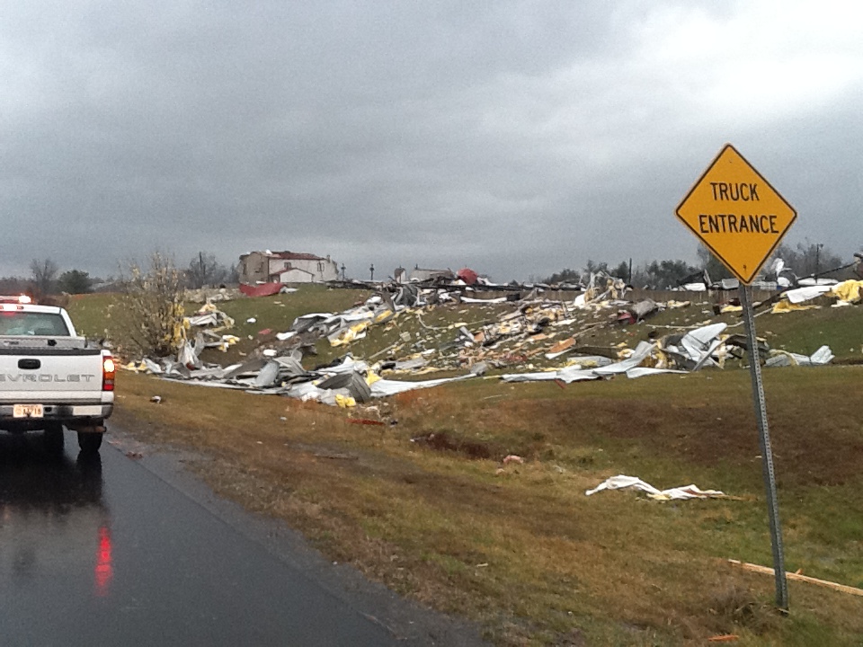
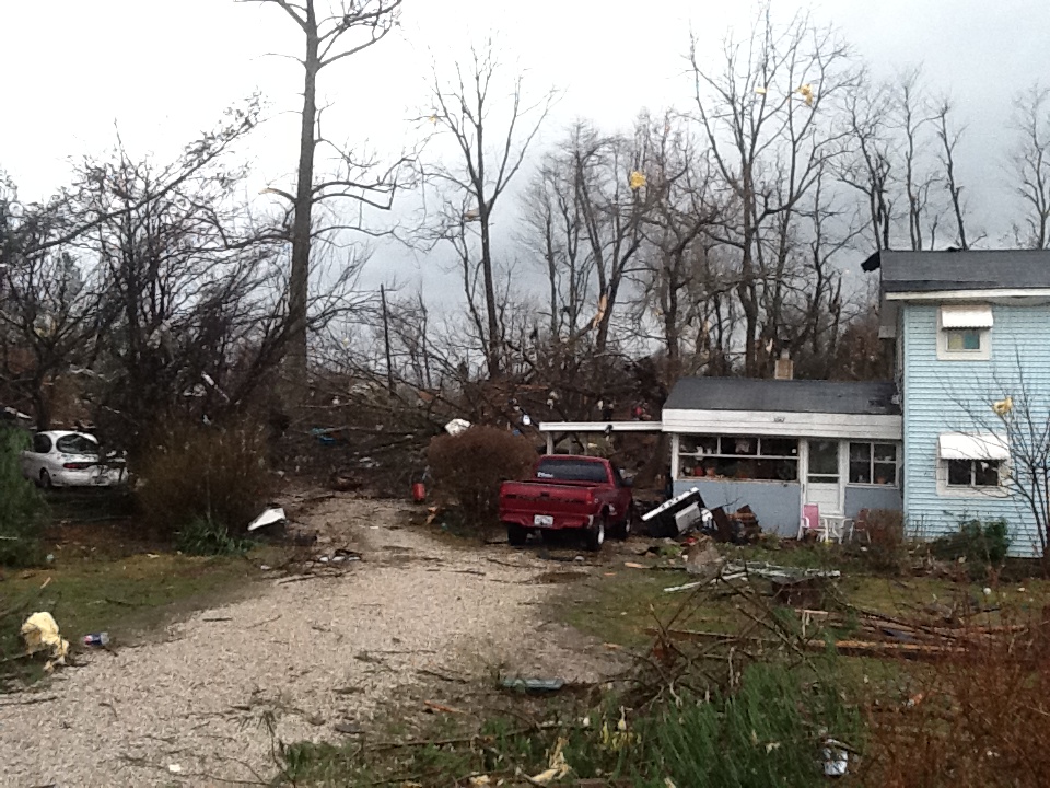
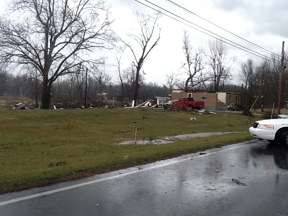
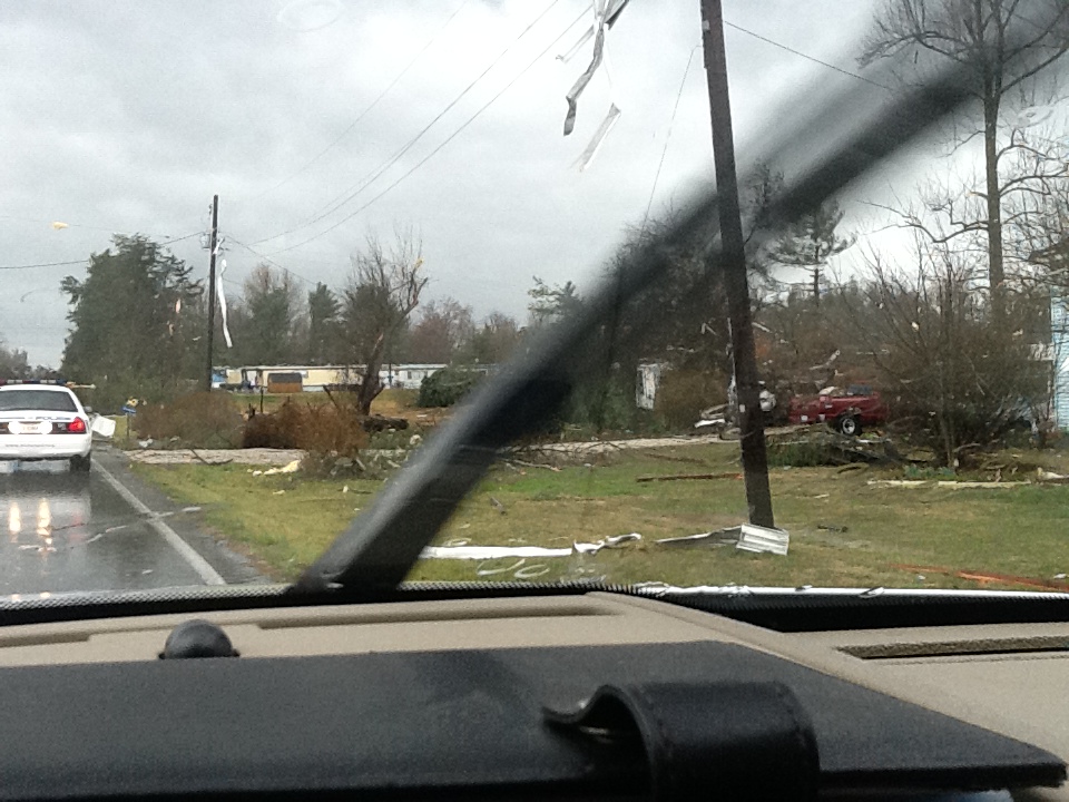
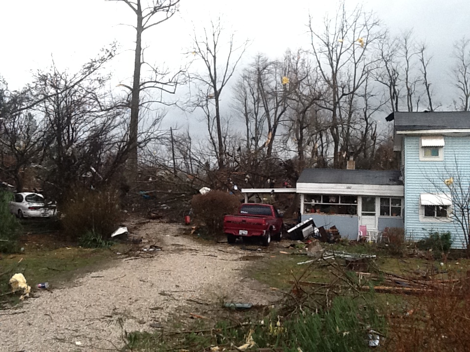
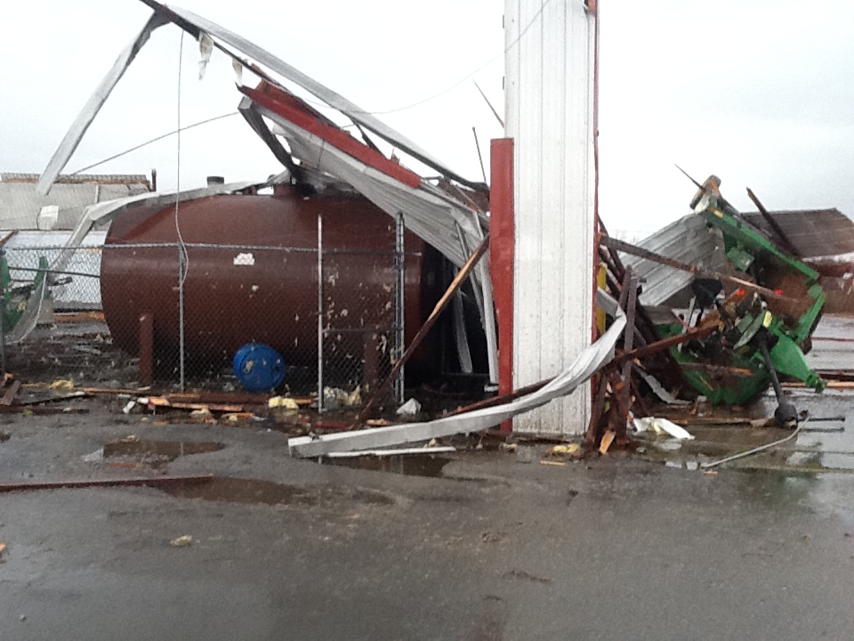
The tornado began as a 125 yard wide tornado near 4510 Gather Station Road damaging a barn and traveled towards New Glendale Road and Overall Phillips Road damaging some homes and knocking down many trees and fences. The storm crossed Interstate 65 but did not strike any vehicles. The twister struck several homes lifting many roof structures off of Wildwood Drive and Sportmans Lake Road. It increased in width to 250 yards and struck the Harry Owen trucking company buckling roof trusses and spreading significant debris over Lincoln Parkway into a mobile home park. Next it destroyed a working garage and did significant damage to three homes off of Hodgenville Road and uprooting and twisting many trees before lifting a couple of hundred yards downwind.
Aerial photos of the damage in Hardin County, courtesy Paul Osborne of Kentucky Volunteer Aviators:
 |
 |
 |
 |
Photos of the damage in Hardin County from the official NWS storm survey:
 |
 |
 |
 |
 |
 |
 |
 |
Photos of the damage in Hardin County, courtesy Doug Finlay:
 |
 |
 |
 |
 |
 |
 |
 |
 |
|
 |
 |
 |
 |
 |
 |
 |
 |
 |
 |
 |
 |
 |
Current Hazards
Hazardous Weather Outlook
Storm Prediction Center
Submit a Storm Report
Advisory/Warning Criteria
Radar
Fort Knox
Evansville
Fort Campbell
Nashville
Jackson
Wilmington
Latest Forecasts
El Nino and La Nina
Climate Prediction
Central U.S. Weather Stories
1-Stop Winter Forecast
Aviation
IDSS Forecast Points
Air Quality
Fire Weather
Recreation Forecasts
1-Stop Drought
Event Ready
1-Stop Severe Forecast
Past Weather
Climate Graphs
1-Stop Climate
CoCoRaHS
Local Climate Pages
Tornado History
Past Derby/Oaks/Thunder Weather
Football Weather
Local Information
About the NWS
Forecast Discussion
Items of Interest
Spotter Training
Regional Weather Map
Decision Support Page
Text Products
Science and Technology
Outreach
LMK Warning Area
About Our Office
Station History
Hazardous Weather Outlook
Local Climate Page
Tornado Machine Plans
Weather Enterprise Resources

US Dept of Commerce
National Oceanic and Atmospheric Administration
National Weather Service
Louisville, KY
6201 Theiler Lane
Louisville, KY 40229-1476
502-969-8842
Comments? Questions? Please Contact Us.



 Weather Story
 Weather Map
 Local Radar
 Follow us on X
 Follow us on Facebook
 Follow us on YouTube
 LMK RSS Feed