Louisville, KY
Weather Forecast Office
Congressman Thomas Massie (R-KY) visited the Louisville National Weather Service office Tuesday afternoon. Meteorologist-in-Charge, John Gordon, gave Congressman Massie a tour of the office and then the Congressman sat down with staff members to learn more about the NWS mission and its current state of the art technologies.
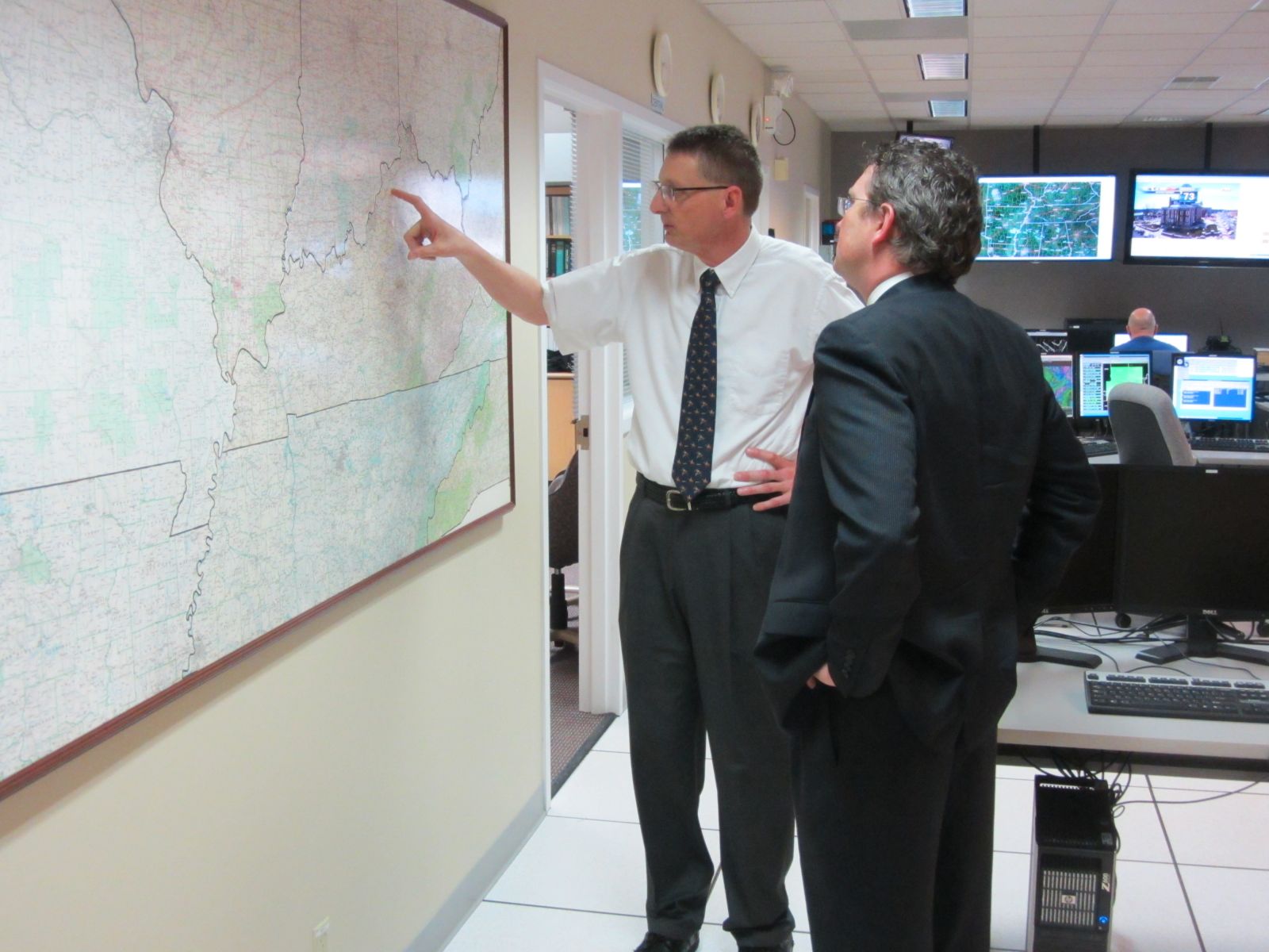
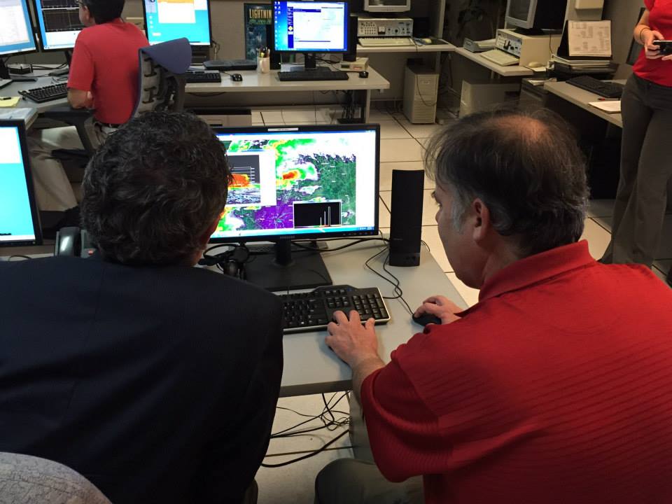
Above left, Meteorologist-in-Charge John Gordon shows Congressman Massie the NWS Louisville county warning area. Above right, meteorologist John Denman demonstreates the three dimensional capabilities of the NWS WSR-88D radar system with data from the March 2, 2012 severe weather outbreak.

Above left, Senior Service Hydrologist Mike Callahan demonstrates hydrological operations at NWS Louisville. Above right, Science and Operations Officer Ted Funk demonstrates the Warning Event Simulator and explains how NWS forecasters continuously train with it.
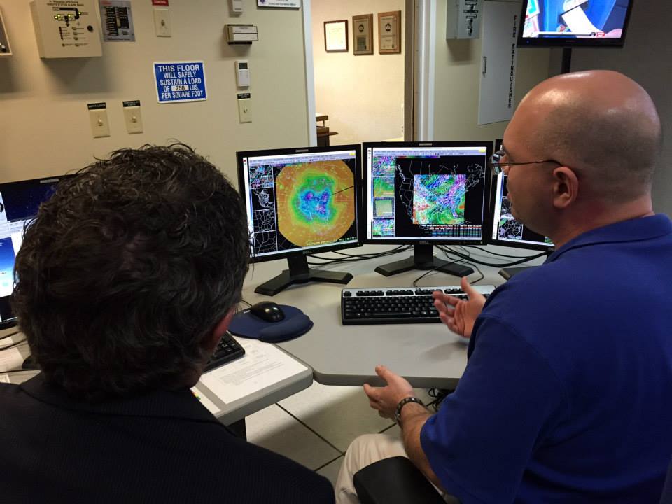
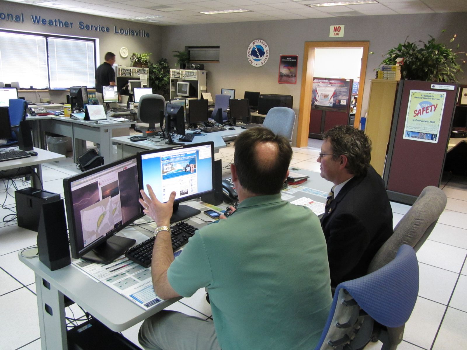
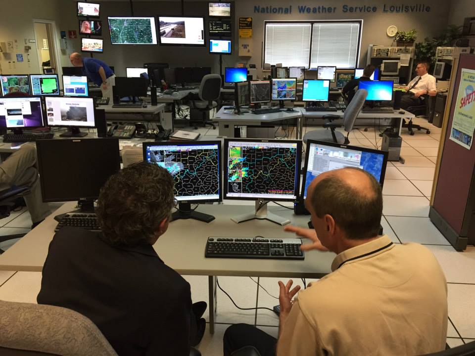
Above left, meteorologist Mark Jarvis explains the different kinds of model data that forecasters use to prepare daily forecasts. Above right, Warning Coordination Meteorologist Joe Sullivan explains the Weather Ready Nation concept and Decision Support Services that the NWS provides to local and state agencies.
Current Hazards
Hazardous Weather Outlook
Storm Prediction Center
Submit a Storm Report
Advisory/Warning Criteria
Radar
Fort Knox
Evansville
Fort Campbell
Nashville
Jackson
Wilmington
Latest Forecasts
El Nino and La Nina
Climate Prediction
Central U.S. Weather Stories
1-Stop Winter Forecast
Aviation
Spot Request
Air Quality
Fire Weather
Recreation Forecasts
1-Stop Drought
Event Ready
1-Stop Severe Forecast
Past Weather
Climate Graphs
1-Stop Climate
CoCoRaHS
Local Climate Pages
Tornado History
Past Derby/Oaks/Thunder Weather
Football Weather
Local Information
About the NWS
Forecast Discussion
Items of Interest
Spotter Training
Regional Weather Map
Decision Support Page
Text Products
Science and Technology
Outreach
LMK Warning Area
About Our Office
Station History
Hazardous Weather Outlook
Local Climate Page
Tornado Machine Plans
Weather Enterprise Resources
US Dept of Commerce
National Oceanic and Atmospheric Administration
National Weather Service
Louisville, KY
6201 Theiler Lane
Louisville, KY 40229-1476
502-969-8842
Comments? Questions? Please Contact Us.


 Weather Story
 Weather Map
 Local Radar