|
Summary:
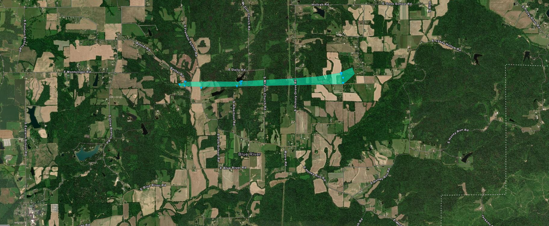
The National Weather Service conducted two storm damage assessment surveys across eastern Washington County Indiana, from storms Friday evening October 15 around 1015 pm. The second survey came about from new reports of damage along the Blue River east of New Pekin.
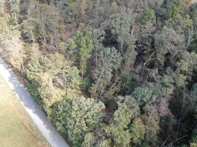
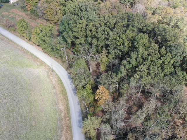
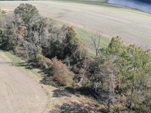
The initial touchdown was just west of Bethel Church Road near the Blue River. This consisted of concentrated softwood and some hardwood tree damage. Drone imagery showed more significant amounts of tree damage, with many maple, elm, and cedar trees uprooted and twisted. Fallen trees were facing in a north, northeasterly, easterly, and southeasterly direction. Wind speeds of 80 mph were fairly consistent within the track with a width of 70 yards.
The tornado lifted from time to time and was intermittent along the entire path.
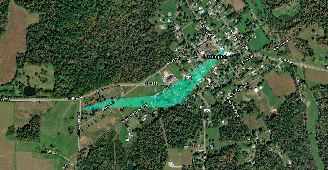
The survey team found winds of 70 to 75 mph in a cyclonic manner across a very small portion of eastern Washington County near Pine Hill Lake. A very narrow area of tree and roof damage occurred just southwest of the lake with a width of 60 yards. Most of the tree damage happened at 30 to 70 feet off the ground.
Trees were facing to the north, northeast, and easterly direction. One car port had significant damage from large, 4-inch oak limbs falling on it. Minor roof damage occurred, including shingles and large limbs falling on a few homes. One tree fell on a homeowner's pick-up truck, resulting in significant damage.
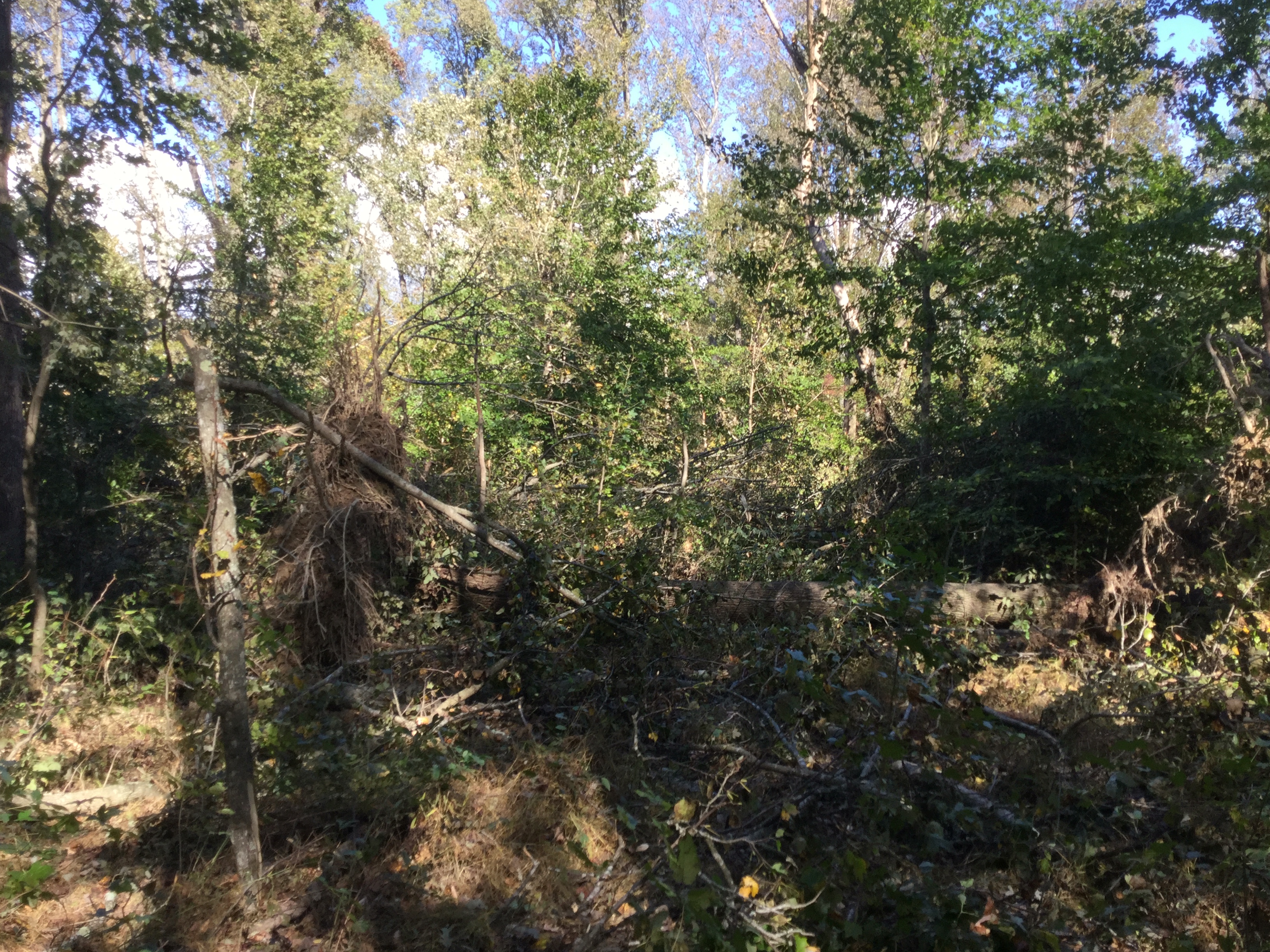
More substantial wind damage occurred at 10850 E. Blue river road. A large jacuzzi was picked up and thrown 10 yards. The hot tub was not full of water but weighed a substantial amount. Cedar trees were snapped and twisted and numerous maple and sycamore trees were uprooted, snapped and twisted all across the property.
Drone footage showed trees going in multiple directions, especially from the north through southeasterly directions. Trees that were leaning were facing generally to the south. Wind speeds of 80 mph were fairly consistent within the track with a width of 70 yards.
The tornado lifted on the very back edge of the wooded property at 10850 East Blue River Road. Overlaying radar imagery with the damage track showed that the damage was consistent around a cyclonic swirl, on a line segment within some heavy rain bands.
|


 Weather Story
 Weather Map
 Local Radar