Louisville, KY
Weather Forecast Office
After having eliminated drought conditions in southern Indiana and central Kentucky in July, rains continued for most folks in the region in August, with many locations receiving rainfall amounts roughly in the 2 to 4 inch range. Some exceptions included just over 8 inches in Logan and Casey Counties...and only about an inch in Bowling Green (while Smiths Grove got nearly 5 inches).
Fortunately, severe weather was fairly sparse during the month. The most significant storms included multiple trees down, power outages, and a porch roof blown off near Albany on the 3rd...and on the 7th more than 20 trees were felled in Franklin's Jim Roberts Community Park with a barn destroyed just north of the park.
| Average Temperature | Departure from Normal | Precipitation | Departure from Normal | |
| Bowling Green | 78.8° | +0.3° | 0.96" | -2.93" |
| Frankfort | 75.6° | -0.5° | 4.44" | +1.29" |
| Lexington | 76.3° | +0.6° | 4.27" | +0.56" |
| Louisville Ali | 79.1° | +0.2° | 4.69" | +0.98" |
| Louisville Bowman | 77.6° | 0° | 2.59" | -0.94" |
Records
6th driest August at Bowling Green
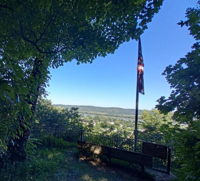
Clear skies over Fort Duffield in West Point, KY, on the 31st.
Current Hazards
Hazardous Weather Outlook
Storm Prediction Center
Submit a Storm Report
Advisory/Warning Criteria
Radar
Fort Knox
Evansville
Fort Campbell
Nashville
Jackson
Wilmington
Latest Forecasts
El Nino and La Nina
Climate Prediction
Central U.S. Weather Stories
1-Stop Winter Forecast
Aviation
IDSS Forecast Points
Air Quality
Fire Weather
Recreation Forecasts
1-Stop Drought
Event Ready
1-Stop Severe Forecast
Past Weather
Climate Graphs
1-Stop Climate
CoCoRaHS
Local Climate Pages
Tornado History
Past Derby/Oaks/Thunder Weather
Football Weather
Local Information
About the NWS
Forecast Discussion
Items of Interest
Spotter Training
Regional Weather Map
Decision Support Page
Text Products
Science and Technology
Outreach
LMK Warning Area
About Our Office
Station History
Hazardous Weather Outlook
Local Climate Page
Tornado Machine Plans
Weather Enterprise Resources
US Dept of Commerce
National Oceanic and Atmospheric Administration
National Weather Service
Louisville, KY
6201 Theiler Lane
Louisville, KY 40229-1476
502-969-8842
Comments? Questions? Please Contact Us.


 Weather Story
 Weather Map
 Local Radar