Louisville, KY
Weather Forecast Office
The first three weeks of the month were fairly uneventful with generally seasonable temperatures and little in the way of storminess. We did see an uptick in precipitation which significantly reduced drought levels in the region. The wettest system was a cold front that came through on the 14th that dropped one to two inches of rain across southern Indiana and north central Kentucky.
By far the most significant event was the amazing cold front that barged through the area during the evening of the 22nd. The front caused temperatures to crash 50 degrees in 12 hours, from the 40s on the afternoon of the 22nd to subzero readings the following morning. Light rain ahead of the front quickly changed to light snow behind it with 1 to 3 inches falling in many locations. A band of 4-5" developed from Salem, Indiana to Frankfort, Kentucky. The snow and plunging temperatures were accompanied by wind gusts to 40 mph and wind chills down to 30 degrees below zero...some of the coldest wind chills seen in 25 years. Daytime readings on the 23rd did not get out of the single digits.
The Arctic blast was followed by a quick warm-up, and by the 29th and 30th we were well back into the 60s.
| Average Temperature | Departure from Normal | Precipitation | Departure from Normal | Snow | Departure from Normal | |
| Bowling Green | 40.5° | 0° | 3.28" | -1.07" | 2.5" | +1.7" | 
| Frankfort | 37.3° | -0.8° | 3.18" | -0.59" | ||
| Lexington | 38.7° | +0.9° | 3.46" | -0.74" | 1.9" | 0" | 
| Louisville Ali | 39.4° | -0.2° | 3.28" | -0.85" | 3.2" | +1.0" | 
| Louisville Bowman | 37.4° | -1.4° | 3.25" | -0.63" | 
14th: Rainfall of 1.45" at Frankfort
23rd: Cold max temperature of 6° at Bowling Green, cold max temperature of 7° at Louisville

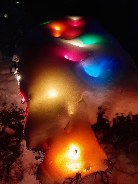
We had a white, and cold, Christmas this year! Photo courtesy Ryan Sharp
                        
                            Current Hazards
                        
                                                    Hazardous Weather Outlook
                                                    Storm Prediction Center
                                                    Submit a Storm Report
                                                    Advisory/Warning Criteria
                                            
                        
                            Radar
                        
                                                    Fort Knox
                                                    Evansville
                                                    Fort Campbell
                                                    Nashville
                                                    Jackson
                                                    Wilmington
                                            
                        
                            Latest Forecasts
                        
                                                    El Nino and La Nina
                                                    Climate Prediction
                                                    Central U.S. Weather Stories
                                                    1-Stop Winter Forecast
                                                    Aviation
                                                    Spot Request
                                                    Air Quality
                                                    Fire Weather
                                                    Recreation Forecasts
                                                    1-Stop Drought
                                                    Event Ready
                                                    1-Stop Severe Forecast
                                            
                        
                            Past Weather
                        
                                                    Climate Graphs
                                                    1-Stop Climate
                                                    CoCoRaHS
                                                    Local Climate Pages
                                                    Tornado History
                                                    Past Derby/Oaks/Thunder Weather
                                                    Football Weather
                                            
                        
                            Local Information
                        
                                                    About the NWS
                                                    Forecast Discussion
                                                    Items of Interest
                                                    Spotter Training
                                                    Regional Weather Map
                                                    Decision Support Page
                                                    Text Products
                                                    Science and Technology
                                                    Outreach
                                                    LMK Warning Area
                                                    About Our Office
                                                    Station History
                                                    Hazardous Weather Outlook
                                                    Local Climate Page
                                                    Tornado Machine Plans
                                                    Weather Enterprise Resources
                                            
                US Dept of Commerce
                National Oceanic and Atmospheric Administration
                National Weather Service
                Louisville, KY
                6201 Theiler Lane
                                Louisville, KY 40229-1476
                
502-969-8842
                
Comments? Questions? Please Contact Us.


Weather Story
Weather Map
Local Radar