July 2022 was hot even by July standards. Louisville reached the 90s on 21 days of the month, peaking at 101 on the 5th. Dew points were often in the 70s, and even topped 80 in a few locations, sending heat index readings well over 100°. The Kentucky Mesonet station in Ohio County topped out at a heat index of 120° on the 6th!
Along with the heat came dry weather, with patchy areas of drought developing. The drought peaked during the middle part of the month with Severe Drought (D2) reported across eastern Grayson County and adjacent areas of neighboring counties. Rains late in the month erased the dry conditions.
Severe weather was rather typical of mid-summer with scattered instances of storms growing strong enough to produce locally gusty winds, often resulting in damage to trees and power lines. The most widespread event of the month occurred on the 6th as thunderstorms developed along a surface boundary dropping very slowly southward into the Ohio Valley. There were many reports of trees and power lines down, especially east of Interstate 65. The storms fed on extremely hot and humid air with temperatures in the 90s and dew points near 80° in some spots.
| Average Temperature | Departure from Normal | Precipitation | Departure from Normal | |
| Bowling Green | 82.4° | +2.7° | 5.87" | +1.59" |
| Frankfort | 78.5° | +1.3° | 5.54" | +0.85" |
| Lexington | 79.4° | +2.7° | 6.46" | +1.34" |
| Louisville Ali | 82.0° | +2.1° | 5.71" | +1.66" |
| Louisville Bowman | 80.2° | +1.6° | 6.96" | +2.40" |
Records
1st: Warm low of 79° at Louisville
2nd: Warm low of 74° at Frankfort
5th: Warm low of 78° at Bowling Green, warm low of 80° at Louisville
6th: Warm low of 81° at Bowling Green (warmest low on record)
20th: Warm low of 74° at Frankfort
8th warmest July on record at Lexington
9th warmest July on record at Bowling Green and Louisville
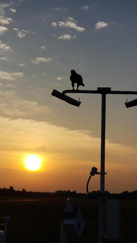
Bowman Field's weather observing equipment provided a suitable perch for watching the sunrise on the 6th. NWS


 Weather Story
 Weather Map
 Local Radar