Louisville, KY
Weather Forecast Office
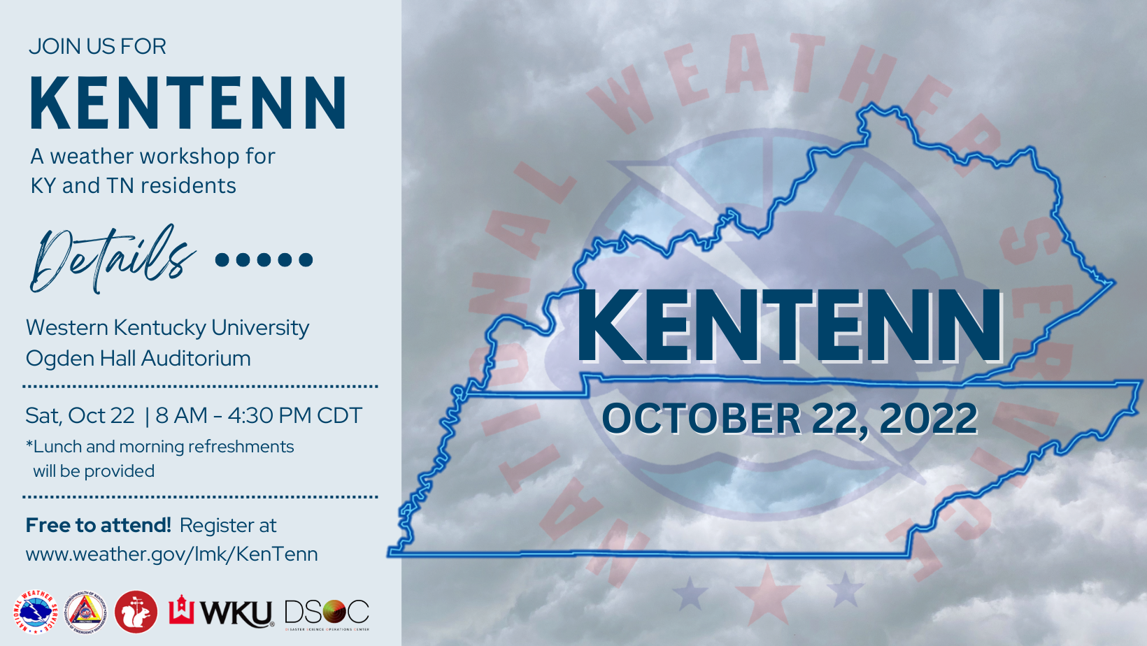
KenTenn 2022
Saturday, October 22
Western Kentucky University
The 2022 KenTenn Weather Workshop will be held in Bowling Green at the WKU Ogden Hall Auditorium on Saturday, October 22 from 8 AM - 4:30 PM CDT! KenTenn is a free event designed for Kentucky and Tennessee residents, but it is open to all! Come listen to presentations on topics such as the historic December 10-11, 2021 tornado outbreak, including a Keynote Presentation from the Mayfield, KY Mayor, the 2022 Eastern Kentucky Floods, and the 2021 Waverly Tennessee Flooding.
Doors will open at 7:30 AM CDT for sign-in! Morning refreshments [coffee and donuts] and lunch will be provided!
KenTenn 2022 is hosted by Western Kentucky University, NWS Louisville, NWS Paducah, NWS Nashville, and NWS Jackson.


Parking will be available at the Chestnut Street North Parking Lot.
Current Hazards
Hazardous Weather Outlook
Storm Prediction Center
Submit a Storm Report
Advisory/Warning Criteria
Radar
Fort Knox
Evansville
Fort Campbell
Nashville
Jackson
Wilmington
Latest Forecasts
El Nino and La Nina
Climate Prediction
Central U.S. Weather Stories
1-Stop Winter Forecast
Aviation
Spot Request
Air Quality
Fire Weather
Recreation Forecasts
1-Stop Drought
Event Ready
1-Stop Severe Forecast
Past Weather
Climate Graphs
1-Stop Climate
CoCoRaHS
Local Climate Pages
Tornado History
Past Derby/Oaks/Thunder Weather
Football Weather
Local Information
About the NWS
Forecast Discussion
Items of Interest
Spotter Training
Regional Weather Map
Decision Support Page
Text Products
Science and Technology
Outreach
LMK Warning Area
About Our Office
Station History
Hazardous Weather Outlook
Local Climate Page
Tornado Machine Plans
Weather Enterprise Resources
US Dept of Commerce
National Oceanic and Atmospheric Administration
National Weather Service
Louisville, KY
6201 Theiler Lane
Louisville, KY 40229-1476
502-969-8842
Comments? Questions? Please Contact Us.


 Weather Story
 Weather Map
 Local Radar