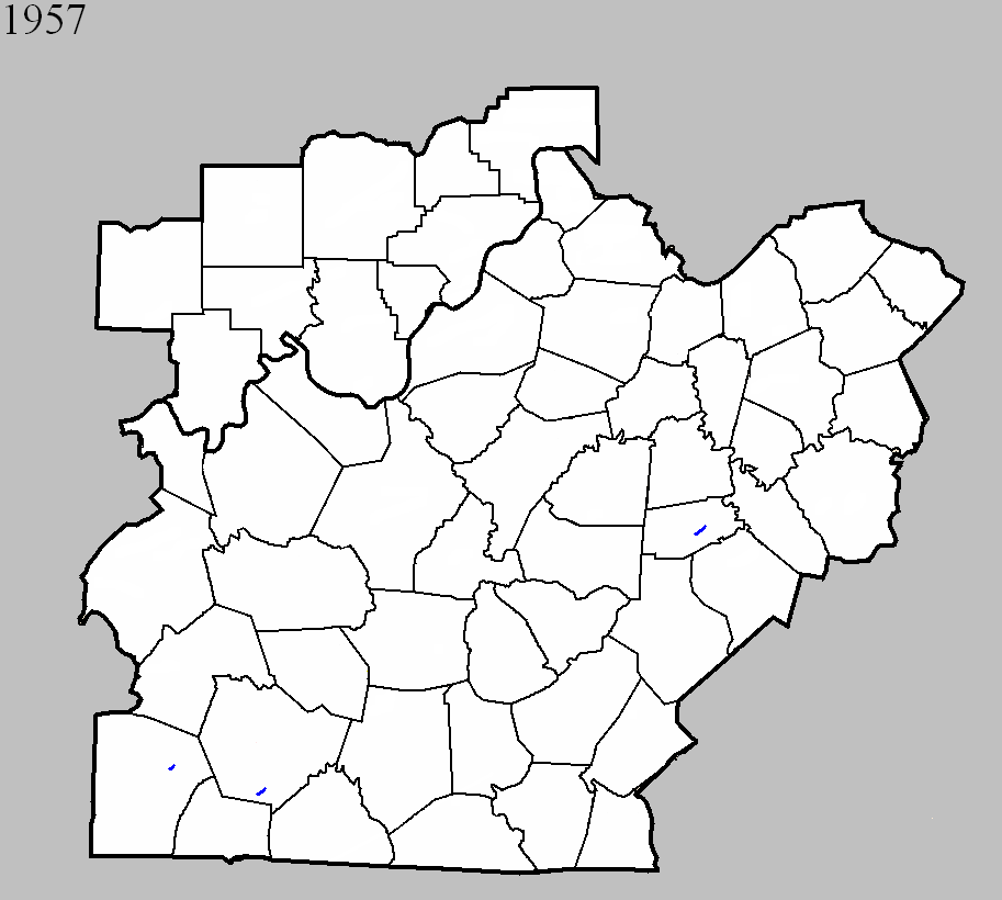
January 22, 1957
Counties: Logan
F-scale: F1
Deaths:
Injuries:
Path width:
Path length:
Time: 3:30pm
Noted discrepancies: None.
April 3, 1957
Counties: Warren
F-scale: F1
Deaths:
Injuries:
Path width:
Path length:
Time: 5:30pm
Grazulis Narrative:
Noted discrepancies: SPC gives a path length of 1/10 of a mile...NCDC gives nothing. SPC gives a path width of 10 yards, NCDC gives nothing.
November 18, 1957
Counties: Boyle
F-scale: F1
Deaths: 0
Injuries: 0
Path width: 10 yards
Path length: 3 and a half miles
Time: 4:25pm to 4:30pm
Notes: Tornado touched down on the Charles Caldwell Farm 3.5 miles southwest of Danville on Lebanon Road. The tornado moved northeast into Danville, lifting shortly after causing damage at 435 Frye's Lane south of downtown. A dozen homes lost their roofs, and about a million dollars (1957) in damage was done. A tobacco warehouse was demolished on the southwest side of town. Along the tornado's path, plate-glass windows, signs, trees, and smaller buildings were smashed.
Noted discrepancies: NCDC and SPC storm databases place a tornado in Metcalfe County at this time, and nothing in Boyle County. Storm Data shows the tornado in Boyle County, and nothing in Metcalfe County. Further research suggests that the Boyle County tornado did indeed happen as described above. In Metcalfe County, damage reported at Center and Sulphur Well appears to be from straight-line winds. The Metcalfe County damage consisted of house and barn damage, but was spread across an area three miles wide. Lexington Weather Bureau meteorologist Dix Newtown felt it was straight-line wind damage at the time. Some witnesses thought there might have been a small tornado, but no credible eye-witness accounts of a visible funnel were received. On this date a large tornado outbreak struck from Kentucky south to the Gulf States, so it's certainly within the realm of possibility that a small tornado, perhaps embedded in straight-line winds, struck somewhere in Metcalfe County. However, going on the research done by this project up to this point, it has been determined that there was a small tornado in Boyle County, but no tornado in Metcalfe County. If you have information you'd like to share about either storm, please let us know.


 Weather Story
 Weather Map
 Local Radar