
Strong to severe thunderstorms capable of producing large to very large hail, damaging wind gusts and a few strong tornadoes are likely from the Midwest to the Mid-Atlantic tonight. Moderate Risk (level 4 of 5) of severe thunderstorms is outlooked for the Midwest. A widespread heat wave will peak in the South and East on Friday, with many temperature records expected to be broken. Read More >
Louisville, KY
Weather Forecast Office
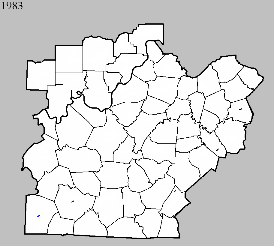
April 2, 1983
Counties: Russell
F-scale: F1
Deaths:
Injuries: 1
Path width:
Path length:
Time: 9:35am
Noted discrepancies: None
April 28, 1983
Counties: Logan
F-scale: F1
Deaths:
Injuries:
Path width:
Path length:
Time: 8:47pm
Noted discrepancies: None
August 11, 1983
Counties: Warren
F-scale: F1
Deaths:
Injuries: 6
Path width:
Path length:
Time: 2:00pm
Notes: Storm Data says this tornado struck the Greenwood Trailer Park on the north side of Bowling Green.
August 11, 1983
Counties: Clark KY
F-scale: F0
Deaths:
Injuries:
Path width:
Path length:
Time: 2:50pm
Noted discrepancies: Storm Data says this storm struck on Irvine Road. Mapped as best as possible, since lat/lon given was just off of Irvine Road. In appears to have struck in or very near Winchester, so additional research may help to pinpoint its exact location.
August 12, 1983
Counties: Garrard
F-scale: F0
Deaths:
Injuries:
Path width:
Path length:
Time: 8:00pm
Notes: Storm Data says this tornado struck on Gaffney Road. Plotted on Gaffney Road as close to the given lat/lon as possible.
Current Hazards
Hazardous Weather Outlook
Storm Prediction Center
Submit a Storm Report
Advisory/Warning Criteria
Radar
Fort Knox
Evansville
Fort Campbell
Nashville
Jackson
Wilmington
Latest Forecasts
El Nino and La Nina
Climate Prediction
Central U.S. Weather Stories
1-Stop Winter Forecast
Aviation
IDSS Forecast Points
Air Quality
Fire Weather
Recreation Forecasts
1-Stop Drought
Event Ready
1-Stop Severe Forecast
Past Weather
Climate Graphs
1-Stop Climate
CoCoRaHS
Local Climate Pages
Tornado History
Past Derby/Oaks/Thunder Weather
Football Weather
Local Information
About the NWS
Forecast Discussion
Items of Interest
Spotter Training
Regional Weather Map
Decision Support Page
Text Products
Science and Technology
Outreach
LMK Warning Area
About Our Office
Station History
Hazardous Weather Outlook
Local Climate Page
Tornado Machine Plans
Weather Enterprise Resources
US Dept of Commerce
National Oceanic and Atmospheric Administration
National Weather Service
Louisville, KY
6201 Theiler Lane
Louisville, KY 40229-1476
502-969-8842
Comments? Questions? Please Contact Us.


 Weather Story
 Weather Map
 Local Radar