Louisville, KY
Weather Forecast Office
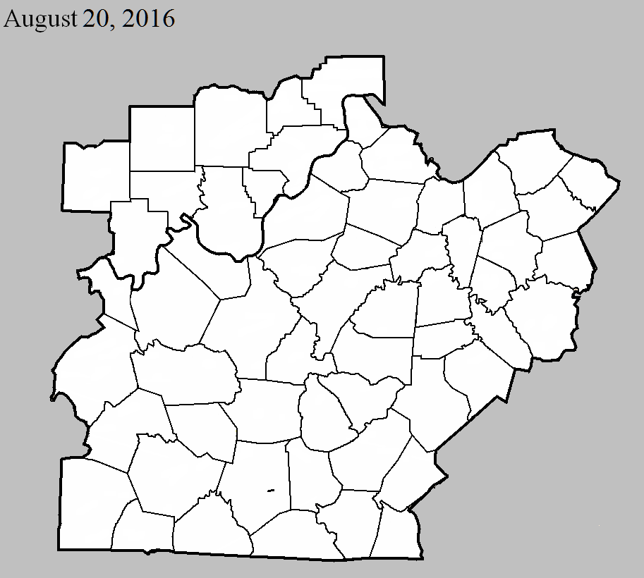
August 20, 2016
County: Barren
EF-Scale: EF0
Deaths: 0
Injuries: 0
Path width: 30 yards
Path length: 1.5 miles
Time: 5:30pm - 5:33pm CDT
Notes: The tornado touched down in a corn field near Morrison Park Road, just east of Tompkinsville Road. The tornado moved east-northeast, roughly paralleling Morrison Park Road, flattening corn on several farms. Structural damage was observed on one farm, where the roof was torn off a large metal outbuilding and minor damage occurred to several other buildings as a result of this debris. Several trees were snapped or uprooted before the tornado lifted just east of Highway 90.
Current Hazards
Hazardous Weather Outlook
Storm Prediction Center
Submit a Storm Report
Advisory/Warning Criteria
Radar
Fort Knox
Evansville
Fort Campbell
Nashville
Jackson
Wilmington
Latest Forecasts
El Nino and La Nina
Climate Prediction
Central U.S. Weather Stories
1-Stop Winter Forecast
Aviation
IDSS Forecast Points
Air Quality
Fire Weather
Recreation Forecasts
1-Stop Drought
Event Ready
1-Stop Severe Forecast
Past Weather
Climate Graphs
1-Stop Climate
CoCoRaHS
Local Climate Pages
Tornado History
Past Derby/Oaks/Thunder Weather
Football Weather
Local Information
About the NWS
Forecast Discussion
Items of Interest
Spotter Training
Regional Weather Map
Decision Support Page
Text Products
Science and Technology
Outreach
LMK Warning Area
About Our Office
Station History
Hazardous Weather Outlook
Local Climate Page
Tornado Machine Plans
Weather Enterprise Resources
US Dept of Commerce
National Oceanic and Atmospheric Administration
National Weather Service
Louisville, KY
6201 Theiler Lane
Louisville, KY 40229-1476
502-969-8842
Comments? Questions? Please Contact Us.


 Weather Story
 Weather Map
 Local Radar