
In the Upper Midwest, heavy to excessive rain may bring flash and urban flooding through Wednesday. Scattered severe thunderstorms capable of large hail and damaging wind gusts are possible from the central High Plains into the Upper Midwest Wednesday. Extreme heat is ongoing over the Desert Southwest through Thursday. Read More >
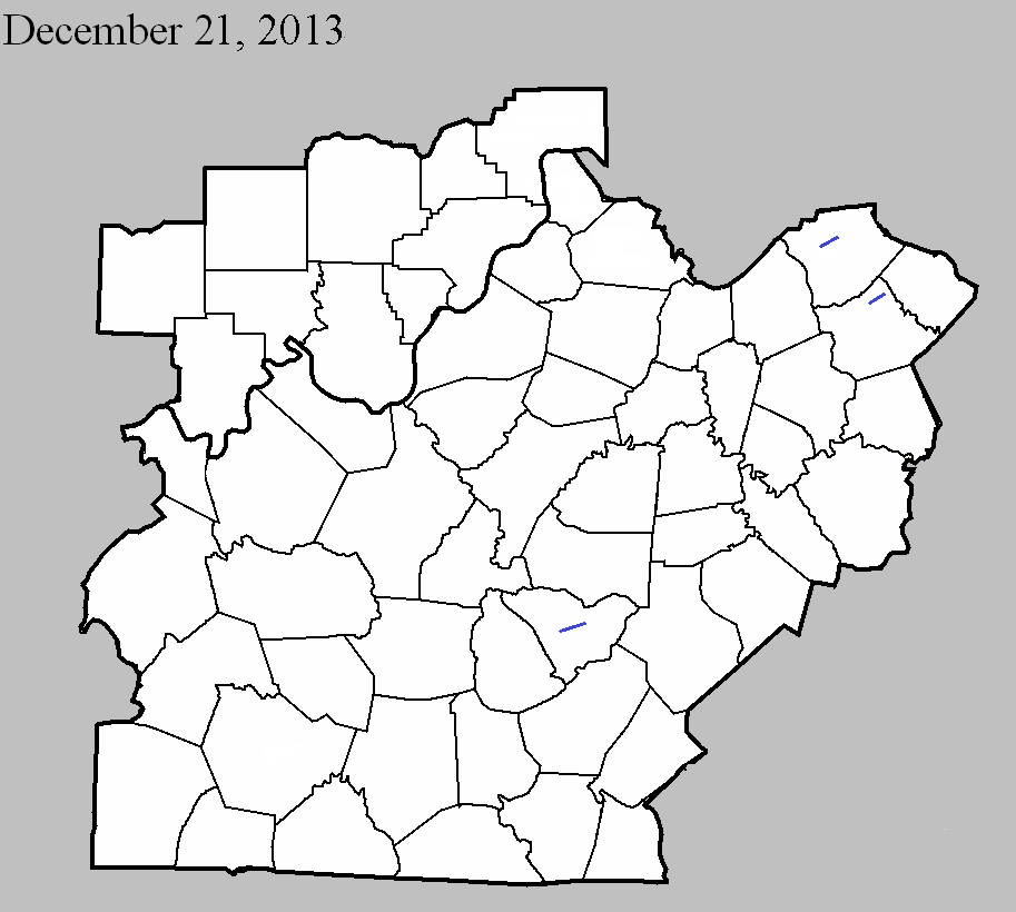
December 21, 2013
County: Taylor
EF-Scale: EF1
Deaths: 0
Injuries: 0
Path width: 300 yards
Path length: 6 miles
Time: 11:07pm - 11:13pm EST
Notes: This tornado touched down along Old Greensburg Road just west of the intersection of US 68 and KY 323, where it immediately destroyed small outbuildings. The tornado entered the city of Campbellsville when it crossed KY 210 and uprooted trees and damaged buildings near the intersection of Hodgenville Road and Vintage Lane. A more concentrated area of damage then occurred as the tornado crossed Saloma Road and moved roughly parallel to and just north of Upper Miller Park Road. Trees were torn down and rooftops damaged in this area. The tornado exited the city at the intersection of Eastern Drive and East Lake Drive. The final damage occurred at the intersection of US 68 and Palestine Road. At this location there was more tree and roof damage.
December 21, 2013
County: Harrison KY
EF-Scale: EF1
Deaths: 0
Injuries: 0
Path width:110 yards
Path length: 3.8 miles
Time: 11:29pm - 11:34pm EST
Notes: The NWS storm survey team found many areas of intermittent straight line wind damage around northern Harrison County, with one specific tornado path. There were many barns damaged or destroyed, power lines and power poles down or snapped, some trees snapped and uprooted, and several homes and outbuildings had roof damage. The most concentrated damage was along Dutch Chapel Road where about half a dozen large barns, garages, and outbuildings were either destroyed or sustained significant damage. In addition, two homes on Dutch Chapel Road had significant roof damage and other structural damage, with debris thrown to the north, northeast, and east southeast. Several residents on Dutch Chapel Road heard a distinct "freight train roar" and their ears popped, along with zero visibility during torrential rain when the storm struck.
December 21, 2013
County: Bourbon
EF-Scale: EF1
Deaths: 0
Injuries: 0
Path width: 125 yards
Path length: 4.8 miles
Time: 11:41pm - 11:45pm EST
Notes: The NWS storm survey team found many areas of straight line wind damage across northern Bourbon County, and one specific tornado path within the straight line wind damage. There were many barns damaged or destroyed, power lines and poles down or snapped, and many softwood and hardwood trees snapped, twisted, and uprooted. Several homes and outbuildings had roof damage. The most concentrated damage was along Colville Road, down Endicott Lane, and over to the Steele Ford Road area. In this area, several large barns, garages, and outbuildings were either destroyed or sustained significant damage, with debris thrown to the north, northeast, and east. In addition, some well anchored solid footers from a garage and barn at 201 Endicott Lane were lifted up and thrown 75 yards. Several residents reported a loud roar, their ears popped, and there was zero visibility in torrential rain when the storm struck.


 Weather Story
 Weather Map
 Local Radar