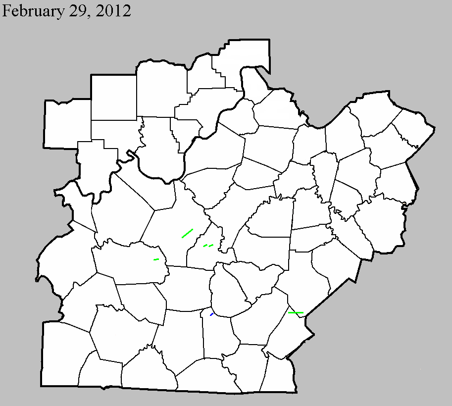
February 29, 2012
County: Hardin
EF-Scale: EF-2
Deaths: 0
Injuries: 0
Path width: 250 yards
Path length: 5 miles
Time: 9:55am EST
Notes: The tornado began as a 125 yard tornado near 4510 Gather Station Road damaging a barn and traveled towards New Glendale Road and Overall Phillips Road damaging some homes and knocking down many trees and fences. The storm crossed I 65 and surprisingly did not strike any vehicles. The twister struck several homes lifting many roof structures off of Wildwood Drive and Sportmans Lake Road. It increased in width to 250 yards and struck the Harry Owen trucking company buckling roof trusses and spreading significant debris over the Lincoln Parkway into the mobile home park. Next it destroyed a working garage and did significant damage to 3 homes off of Hodgenville Road and uprooting and twisting many trees before lifting a couple of hundred yards downwind.
February 29, 2012
County: Grayson
EF-Scale: EF-2
Deaths: 0
Injuries: 0
Path width: 200 yards
Path length: 2 miles
Time: 9:42am CST
Notes: The tornado began as a narrow tornado east of Clarkson just south of Highway 224. The storm increased in width to 200 years and struck several single and double wide mobile homes south of Millerstown road. All 3 mobile home became airborne, with one traveling over 400 yards. One manufactured home was thrown 50 feet into a tree and fence with a man inside it. He was medically airlifted to Louisville. The tornado next struck a large area of soft and hardwood trees before striking a solid brick home just west of Horntown with the roof removed and exterior walls either damaged or destroyed. The tornado damaged struck the Horntown convenience store damaging the roof. During the end of the tornadoes life cycle it narrowed and bounced striking several trees and knocking over several cemetery headstones and uprooted 2 large trees at the Little Clifty United Methodist Church just west of Lacon. The tornado lifted in a grove of trees about 250 yards east of the church.
February 29, 2012
County: LaRue
EF-Scale: EF-2
Deaths: 0
Injuries: 0
Path width: 200 yards
Path length: 1.7 miles
Time: 11:05am EST
Notes: A National Weather Service Survey Team in conjunction with Larue County EMA determined a tornado began near Kyle Lane which is 2 miles west of Hodgenville. It began as a very narrow 80 yard tornado as a mainly elevated funnel cloud/tornado near tree top level. It did some minor roof and shingle damage...uprooted some cedar trees and damaged some fencing. The tornado crossed Tanner Road and lifted just west of downtown Hodgenville. The tornado was rated an EF1 at this location. The length of this touchdown was .90 miles. The same tornado once again touched down on the east side of main street at the State Farm Insurance agency and Citizens Union Bank. This tornado touchdown was much stronger. Two cars moved several feet and were turned 45 degrees with one on top of the other in the State Farm parking lot. The tornado increased in width to 200 yards on Wobegon Way significantly damaging several homes. This included large sections of roof structure being removed and exterior walls collapsing at 202 Woebegone Way. It went into a wooded area narrowing in Miami Court to about 75 yards and becoming more elevated. It damage many roofs with the heaviest damage at a day care center in a residential home off Miami Court. The twister knocked down many power lines down and twisted and snapped trees and did roof damage to several homes and then crossing highway 210. Next it snapped and uprooting some trees and doing some roof damage to a couple of homes before lifting 200 yards downwind. The length of this touchdown was .80 miles. A second tornado touched down just south of Woebegone Way in a wooded area. Another information statement will follow shortly.
February 29, 2012
County: LaRue
EF-Scale: EF-2
Deaths: 0
Injuries: 0
Path width: 100 yards
Path length: 0.9 mile
Time: 11:12am EST
Notes: A National Weather Service Survey Team in conjunction with Larue County EMA determined a second tornado just south of Miami Court and moved east through a wooded area. Several witnesses saw two different tornado near the Miami Court and Wobegone Way area. The second funnel cloud/tornado was near tree top level. It was only 50 yards wide twisting many trees and was rated a EF0. As it crossed Highway 210 the twister increased to 100 yards wide and became stronger. It damaged a large working garage and damaged two homes off of Highway 916 including a new well, almost finished new constructed home which experienced significant exterior wall damage. Workers working on the home heard a loud roar while seeking shelter and observed the twister striking and uprooting some trees. A dumpster full of old building material was thrown 75 yards and snapped one telephone pole. The twister lifted in a field a couple of hundred yards downwind. The twister was rated EF2 at this location.
February 29, 2012
County: Metcalfe
EF-Scale: EF-1
Deaths: 0
Injuries: 0
Path width: 150 yards
Path length: 1.1 miles
Time: 12:47pm CST
Notes: The EF-1 tornado touched down southeast of Center, Kentucky near Herbert Hodges Road. It damaged 3 to 4 barns and snapped numerous trees along its 1.1 mile path. The tornado lifted 1.5 miles east-southeast of Center, Kentucky.
February 29, 2012
County: Russell, Casey
EF-Scale: EF-2
Deaths: 0
Injuries: 0
Path width: 150 yards
Path length: 7.2 miles
Time: 1:22pm CST
Notes: The tornado first touched down north of Russell Springs in northern Russell County west of Highway 127 where it did minor damage to trees, barns, and outbuildings. The tornado then intensified as it moved east with the worst damage occurring along a 1.5 mile stretch from Highway 76 east over Oak Grove Road to Pattie Ridge Road. On Highway 76, two mobile homes were totally destroyed and a modular home was rotated 30-80 feet counterclockwise off its foundation (with a quarter of the home blown away). Two residents survived in an underground tornado shelter where they took refuge having heard of the warning via sirens and phone calls 3-5 minutes before the tornado destroyed their homes. Residents were not home at the time of the tornado at the other homes destroyed along its path. The tornado then weakened as it moved into southern Casey County where it damaged more trees, barns, and outbuildings. The tornado finally lifted west-southwest of Windsor leaving a 7.2 mile track.


 Weather Story
 Weather Map
 Local Radar