Louisville, KY
Weather Forecast Office
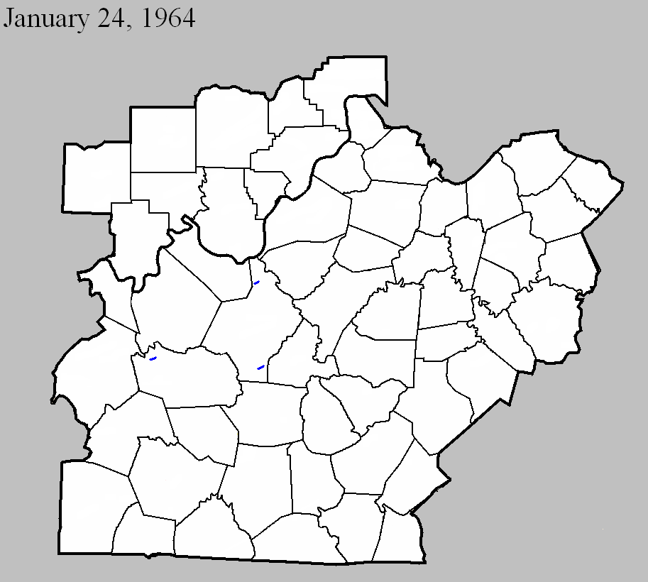
January 24, 1964
Counties: Grayson
F-scale: F1
Deaths:
Injuries:
Path width:
Path length:
Time: 8:16pm
Notes: Narrow swath through thick timber, evidence of rotary motion.
Noted discrepancies: SPC gives a path width of 10 yards and a path length of 1/10 of a mile...NCDC gives nothing for either. The only Kentucky event on this day in Storm Data is in Fulton County because the report for this tornado came in too late for inclusion in the publication.
January 24, 1964
Counties: Hardin
F-scale: F1
Deaths:
Injuries:
Path width:
Path length:
Time: 9:00pm
Notes: One to two miles west of Sonora a large barn with corrugated iron siding was completely torn from its foundation, with corrugated iron sheets extending about 0.25 mile across two fields. A 12" diameter oak tree was twisted off in the center of the damage path. Definite indication of rotary motion in the damage path according to the Louisville Weather Bureau surveyor. Two other barns were damaged though not destroyed.
Noted discrepancies: SPC gives a path width of 10 yards and a path length of 1/10 of a mile...NCDC gives nothing for either. The only Kentucky event on this day in Storm Data is in Fulton County because the report for this tornado came in too late for inclusion in the publication.
January 24, 1964
Counties: Hardin
F-scale: F1
Deaths:
Injuries:
Path width:
Path length:
Time: 9:45pm
Notes: Manager of radio station WIEL relayed a report of considerable damage, with indications of a circular patter in the debris, at the rear of an athletic field at a dependent school.
Noted discrepancies: SPC gives a path width of 10 yards and a path length of 1/10 of a mile...NCDC gives nothing for either. The only Kentucky event on this day in Storm Data is in Fulton County because the report for this tornado came in too late for inclusion in the publication. The SPC/NCDC lat/lon pairs actually put this tornado in Meade County. There was minor tree damage in Meade County, but so far this project has been unable to find any documentation of a tornado there.
Current Hazards
Hazardous Weather Outlook
Storm Prediction Center
Submit a Storm Report
Advisory/Warning Criteria
Radar
Fort Knox
Evansville
Fort Campbell
Nashville
Jackson
Wilmington
Latest Forecasts
El Nino and La Nina
Climate Prediction
Central U.S. Weather Stories
1-Stop Winter Forecast
Aviation
IDSS Forecast Points
Air Quality
Fire Weather
Recreation Forecasts
1-Stop Drought
Event Ready
1-Stop Severe Forecast
Past Weather
Climate Graphs
1-Stop Climate
CoCoRaHS
Local Climate Pages
Tornado History
Past Derby/Oaks/Thunder Weather
Football Weather
Local Information
About the NWS
Forecast Discussion
Items of Interest
Spotter Training
Regional Weather Map
Decision Support Page
Text Products
Science and Technology
Outreach
LMK Warning Area
About Our Office
Station History
Hazardous Weather Outlook
Local Climate Page
Tornado Machine Plans
Weather Enterprise Resources
US Dept of Commerce
National Oceanic and Atmospheric Administration
National Weather Service
Louisville, KY
6201 Theiler Lane
Louisville, KY 40229-1476
502-969-8842
Comments? Questions? Please Contact Us.


 Weather Story
 Weather Map
 Local Radar