Louisville, KY
Weather Forecast Office
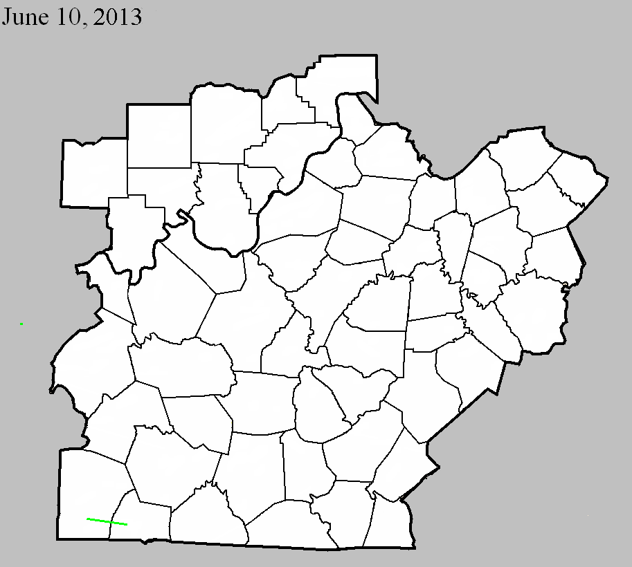
June 10, 2013
Counties: Logan and Simpson
EF-Scale: EF2
Deaths: 0
Injuries: 4
Path width: 325 yards
Path length: 14 miles
Time: 1:40pm CDT
Notes: Touchdown occurred northwest of Adairville near the intersection of Vick Road and Route 96, where a barn sustained roof damage and another outbuilding was destroyed. EF2 damage occurred sporadically from near Route 96 to the Logan/Simpson county line. The worst damage occurred north-northeast of Adairsville where the tornado crossed Route 663. Several homes sustained extensive damage and three people were injured. A fourth person was injured on Trimble Road. The tornado entered Simpson County just north of the intersection of Conn Road and Reames Dixon Road. The tornado produced EF1 and EF0 damage in Simpson County until it lifted at Russellville-Gallatin Road at 2:09pm CDT. A total of five homes sustained extensive damage, and two homes suffered minor damage. Five grain bins were blown away, and two others collapsed. Numerous outbuildings were damaged or destroyed.
Current Hazards
Hazardous Weather Outlook
Storm Prediction Center
Submit a Storm Report
Advisory/Warning Criteria
Radar
Fort Knox
Evansville
Fort Campbell
Nashville
Jackson
Wilmington
Latest Forecasts
El Nino and La Nina
Climate Prediction
Central U.S. Weather Stories
1-Stop Winter Forecast
Aviation
IDSS Forecast Points
Air Quality
Fire Weather
Recreation Forecasts
1-Stop Drought
Event Ready
1-Stop Severe Forecast
Past Weather
Climate Graphs
1-Stop Climate
CoCoRaHS
Local Climate Pages
Tornado History
Past Derby/Oaks/Thunder Weather
Football Weather
Local Information
About the NWS
Forecast Discussion
Items of Interest
Spotter Training
Regional Weather Map
Decision Support Page
Text Products
Science and Technology
Outreach
LMK Warning Area
About Our Office
Station History
Hazardous Weather Outlook
Local Climate Page
Tornado Machine Plans
Weather Enterprise Resources
US Dept of Commerce
National Oceanic and Atmospheric Administration
National Weather Service
Louisville, KY
6201 Theiler Lane
Louisville, KY 40229-1476
502-969-8842
Comments? Questions? Please Contact Us.


 Weather Story
 Weather Map
 Local Radar