Louisville, KY
Weather Forecast Office
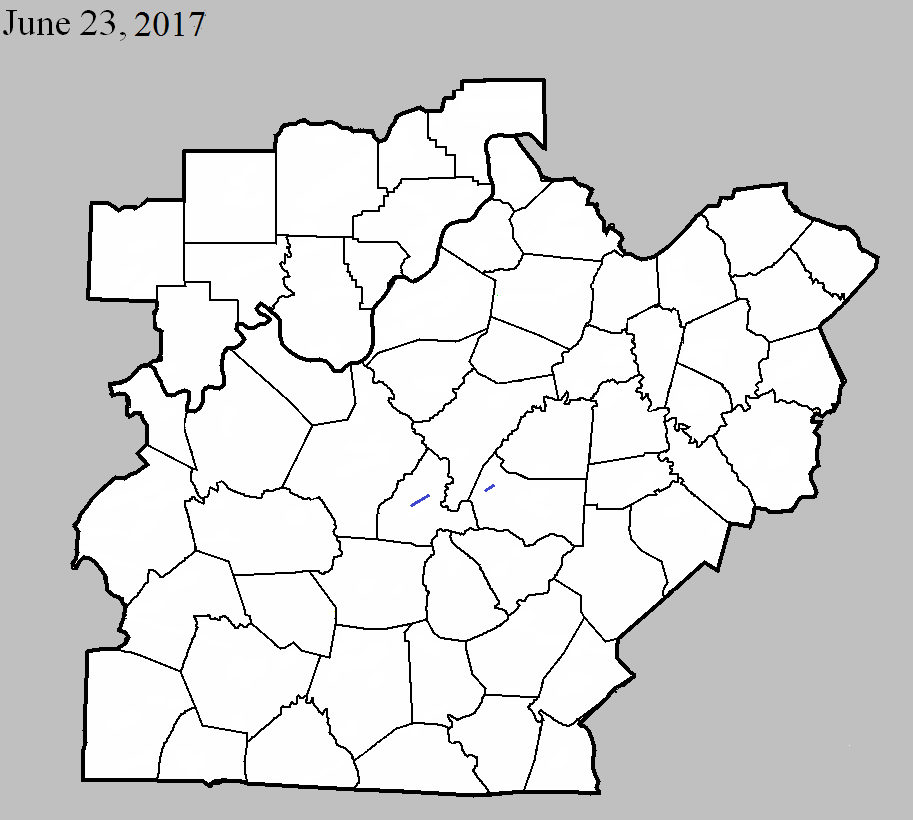
June 23, 2017
County: LaRue
EF-Scale: EF1
Deaths: 0
Injuries: 0
Path width: 75 yards
Path length: 5.1 miles
Time: 5:37pm - 5:45pm EDT
Notes: The tornado first downed a large tree on McDowell Road 2.8 miles south of Hodgenville. It damaged tree tops at the Abraham Lincoln Birthplace National Historical Park as it moved northeast. At the end of Earl Jones Road the tornado destroyed one cinder block and wood barn and damaged the roof of another, scattering debris several hundred yards. The tornado then skipped intermittently over primarily open farmland for before uprooting and snapping several trees along Leafdale Road west of KY 470.
June 23, 2017
County: Marion
EF-Scale: EF1
Deaths: 0
Injuries: 0
Path width: 100 yards
Path length: 2.1 miles
Time: 6:05pm - 6:07pm EDT
Notes: This tornado spun up in a broader area of 40-60 mph winds that caused minor tree damage across an area over a mile wide. The tornado itself touched down on the edge of a large wooded area west of KY 527 0.4 mile south of Saint Francis. Moving due east, it snapped the trunks of several large trees, blocking the highway, and mowed down a line of trees along Louis Mattingly Road. It continued to do tree-top damage in a heavily wooded area as it moved east, then tore roof panels off of several hog barns on the south end of A Mills Road. Drone footage of corn near the barns showed multiple streaks of converging winds in an area approximately 100 yards in width. Continuing to the east-southeast, the tornado downed numerous trees in a cyclonic pattern on both sides of Spencer-Hamilton Road south of Loretto.
Current Hazards
Hazardous Weather Outlook
Storm Prediction Center
Submit a Storm Report
Advisory/Warning Criteria
Radar
Fort Knox
Evansville
Fort Campbell
Nashville
Jackson
Wilmington
Latest Forecasts
El Nino and La Nina
Climate Prediction
Central U.S. Weather Stories
1-Stop Winter Forecast
Aviation
IDSS Forecast Points
Air Quality
Fire Weather
Recreation Forecasts
1-Stop Drought
Event Ready
1-Stop Severe Forecast
Past Weather
Climate Graphs
1-Stop Climate
CoCoRaHS
Local Climate Pages
Tornado History
Past Derby/Oaks/Thunder Weather
Football Weather
Local Information
About the NWS
Forecast Discussion
Items of Interest
Spotter Training
Regional Weather Map
Decision Support Page
Text Products
Science and Technology
Outreach
LMK Warning Area
About Our Office
Station History
Hazardous Weather Outlook
Local Climate Page
Tornado Machine Plans
Weather Enterprise Resources
US Dept of Commerce
National Oceanic and Atmospheric Administration
National Weather Service
Louisville, KY
6201 Theiler Lane
Louisville, KY 40229-1476
502-969-8842
Comments? Questions? Please Contact Us.


 Weather Story
 Weather Map
 Local Radar