Louisville, KY
Weather Forecast Office
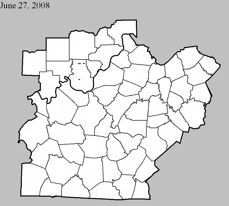
June 27, 2008
Counties: Harrison IN
EF-scale: EF0
Deaths: 0
Injuries: 0
Path width: 15 yards
Path length: 0.3 miles
Time: 7:06pm EST
Notes: A weak squall line tornado briefly touched down along IN 135, doing minor damage to several residences and downing several trees three miles northeast of Hillgrove.
June 27, 2008
Counties: Harrison IN
EF-scale: EF0
Deaths: 0
Injuries: 0
Path width: 30 yards
Path length: 0.4 miles
Time: 8:07pm EST to 8:08pm EST
Notes: A weak tornado touched down along Hancock Chapel Road Northeast, uprooting several trees in a cyclonic fashion.
June 27, 2008
Counties: Harrison IN
EF-scale: EF0
Deaths: 0
Injuries: 0
Path width: 50 yards
Path length: 0.8 miles
Time: 8:08pm EST to 8:09pm EST
Notes: This weak tornado hit the south side of a farm on Gettlefinger Road, causing a milk barn to collapse and tearing several panels off of a large metal outbuilding in addition to snapping trees in wooded areas on either side of the farm.
Current Hazards
Hazardous Weather Outlook
Storm Prediction Center
Submit a Storm Report
Advisory/Warning Criteria
Radar
Fort Knox
Evansville
Fort Campbell
Nashville
Jackson
Wilmington
Latest Forecasts
El Nino and La Nina
Climate Prediction
Central U.S. Weather Stories
1-Stop Winter Forecast
Aviation
IDSS Forecast Points
Air Quality
Fire Weather
Recreation Forecasts
1-Stop Drought
Event Ready
1-Stop Severe Forecast
Past Weather
Climate Graphs
1-Stop Climate
CoCoRaHS
Local Climate Pages
Tornado History
Past Derby/Oaks/Thunder Weather
Football Weather
Local Information
About the NWS
Forecast Discussion
Items of Interest
Spotter Training
Regional Weather Map
Decision Support Page
Text Products
Science and Technology
Outreach
LMK Warning Area
About Our Office
Station History
Hazardous Weather Outlook
Local Climate Page
Tornado Machine Plans
Weather Enterprise Resources
US Dept of Commerce
National Oceanic and Atmospheric Administration
National Weather Service
Louisville, KY
6201 Theiler Lane
Louisville, KY 40229-1476
502-969-8842
Comments? Questions? Please Contact Us.


 Weather Story
 Weather Map
 Local Radar