Louisville, KY
Weather Forecast Office
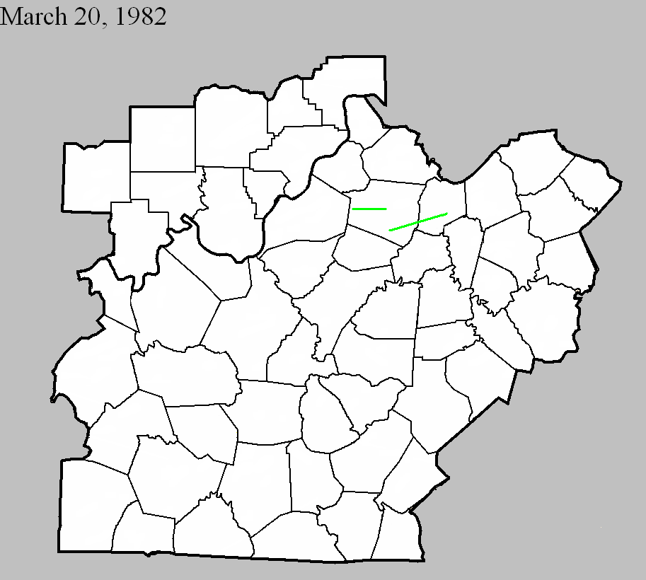
March 20, 1982
Counties: Shelby
F-scale: F2
Deaths:
Injuries: 8
Path width:
Path length:
Time: 6:50pm
Noted discrepancies: NWS ranks this as an F2...Grazulis does not list it.
Notes: Storm Data says this tornado touched down near where I-64 crosses the Jefferson/Shelby county line, moving on to the Governor's Manor Shopping Center in Shelbyville. Will plot as such.
March 20, 1982
Counties: Shelby, Franklin
F-scale: F2
Deaths: 0
Injuries: 0
Path width: 200 yards
Path length: 20 miles
Time: 7:00pm
Grazulis narrative: Moved east-northeast from Southville to east of Waddy. A dozen barns, two trailers, and several other buildings were destroyed in the Southville area. Homes were struck in Waddy.
Noted discrepancies: Grazulis ends this tornado just inside the Franklin County line, but SPC and NCDC take it all the way to Frankfort. Storm Data has this tornado hit Southville, KY 714, and Waddy. Will plot with official lat/lon but additional research would be nice.
Current Hazards
Hazardous Weather Outlook
Storm Prediction Center
Submit a Storm Report
Advisory/Warning Criteria
Radar
Fort Knox
Evansville
Fort Campbell
Nashville
Jackson
Wilmington
Latest Forecasts
El Nino and La Nina
Climate Prediction
Central U.S. Weather Stories
1-Stop Winter Forecast
Aviation
IDSS Forecast Points
Air Quality
Fire Weather
Recreation Forecasts
1-Stop Drought
Event Ready
1-Stop Severe Forecast
Past Weather
Climate Graphs
1-Stop Climate
CoCoRaHS
Local Climate Pages
Tornado History
Past Derby/Oaks/Thunder Weather
Football Weather
Local Information
About the NWS
Forecast Discussion
Items of Interest
Spotter Training
Regional Weather Map
Decision Support Page
Text Products
Science and Technology
Outreach
LMK Warning Area
About Our Office
Station History
Hazardous Weather Outlook
Local Climate Page
Tornado Machine Plans
Weather Enterprise Resources
US Dept of Commerce
National Oceanic and Atmospheric Administration
National Weather Service
Louisville, KY
6201 Theiler Lane
Louisville, KY 40229-1476
502-969-8842
Comments? Questions? Please Contact Us.


 Weather Story
 Weather Map
 Local Radar