
Strong to severe thunderstorms capable of producing large to very large hail, damaging wind gusts and a few strong tornadoes are likely from the Midwest to the Mid-Atlantic tonight. Moderate Risk (level 4 of 5) of severe thunderstorms is outlooked for the Midwest. A widespread heat wave will peak in the South and East on Friday, with many temperature records expected to be broken. Read More >
Louisville, KY
Weather Forecast Office
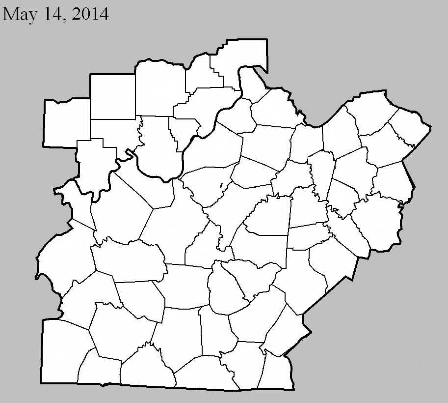
May 14, 2014
County: Bullitt
EF-Scale: EF0
Deaths: 0
Injuries: 0
Path width: 50 yards
Path length: 1.5 miles
Time: 2:23pm EDT
Notes: An EF-0 tornado with estimated winds between 65 and 80 mph touched down southeast of Shepherdsville and snapped a tree at a residence along Lotus Street. It then moved northeast and removed several shingles from another home along this same street. Several large branches were downed near this home as well. Several trees were also toppled in a wooded area behind this home. A neighbor along Deatsville Road had a tree fall and crush a trampoline. Farther north along Deatsville Road, a resident lost a large section of a tree and had minor siding damage along the east side of his home. A mile farther to the northeast, just before lifting, the tornado sheared off a portion of a row of trees adjacent to Maraman Road.
Current Hazards
Hazardous Weather Outlook
Storm Prediction Center
Submit a Storm Report
Advisory/Warning Criteria
Radar
Fort Knox
Evansville
Fort Campbell
Nashville
Jackson
Wilmington
Latest Forecasts
El Nino and La Nina
Climate Prediction
Central U.S. Weather Stories
1-Stop Winter Forecast
Aviation
IDSS Forecast Points
Air Quality
Fire Weather
Recreation Forecasts
1-Stop Drought
Event Ready
1-Stop Severe Forecast
Past Weather
Climate Graphs
1-Stop Climate
CoCoRaHS
Local Climate Pages
Tornado History
Past Derby/Oaks/Thunder Weather
Football Weather
Local Information
About the NWS
Forecast Discussion
Items of Interest
Spotter Training
Regional Weather Map
Decision Support Page
Text Products
Science and Technology
Outreach
LMK Warning Area
About Our Office
Station History
Hazardous Weather Outlook
Local Climate Page
Tornado Machine Plans
Weather Enterprise Resources
US Dept of Commerce
National Oceanic and Atmospheric Administration
National Weather Service
Louisville, KY
6201 Theiler Lane
Louisville, KY 40229-1476
502-969-8842
Comments? Questions? Please Contact Us.


 Weather Story
 Weather Map
 Local Radar