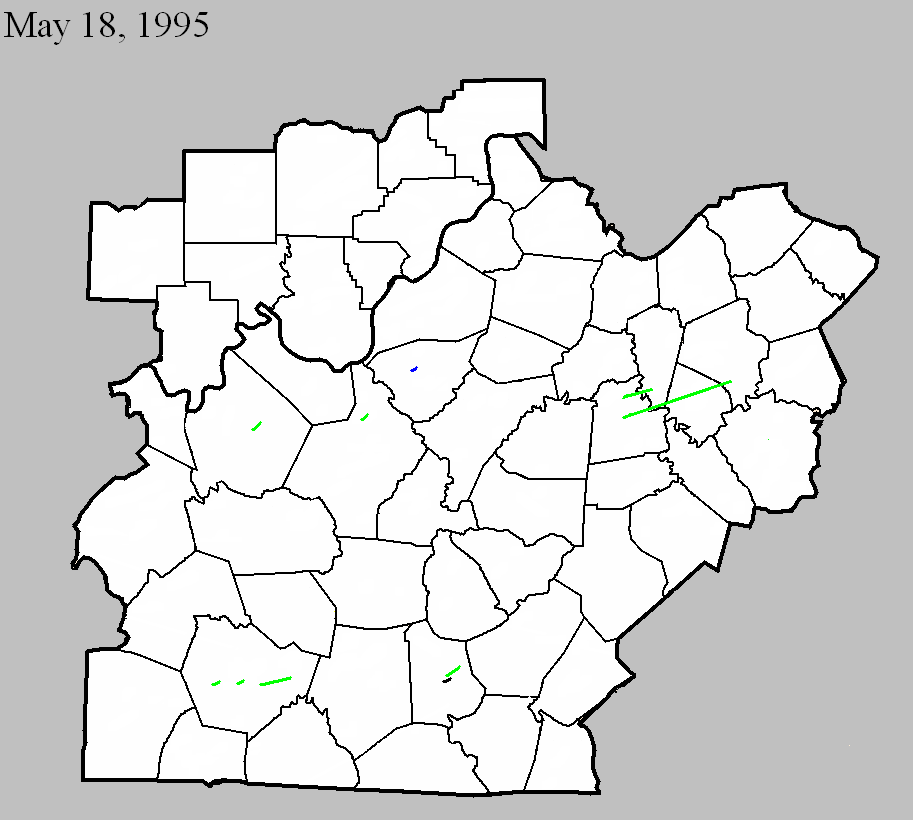
May 18, 1995
Counties: Mercer, Woodford
F-scale: F2
Deaths: 0
Injuries: 8
Path width: 125 yards
Path length: 10 miles
Time: 7:16am-7:28am EDT
Notes from investigation in 2017: Several homes were damaged and trees uprooted as the tornado touched down. On the north side of Salvisa there was roof damage to barns and sheds along with extensive tree damage. On US 127 cars were blown off the road and damaged. Trees and power poles were snapped between Oregon and Ebenezer. Tree damage occurred near Nonesuch with F1 strength winds in southern Woodford County.
Noted discrepancies: SPC and NCDC list this as an F2, but Grazulis does not list it (which it should be, regardless of strength, as was his practice in his 1992-1995 supplement...lending support to the theory that this tornado is listed in Grazulis as the Woodford County event.) The lat/lon given for this tornado agrees with the location Grazulis gives: Salvisa, which is in Mercer County, not Woodford. Storm Data mentions the tornado location as Salvisa, but lists it under Woodford County, at 7:45am, with 6 injuries.
May 18, 1995
Counties: Mercer, Woodford, Jessamine, Fayette
F-scale: F2
Deaths: 0
Injuries: 30
Path width: 350 yards
Path length: 24 miles
Time: 7:19am-7:46am EDT
Notes from investigation in 2017: In McAfee several homes had uplifted roofs, a chimney was destroyed, and garage doors collapsed. Barns and outbuildings were destroyed. Several cars were blown off US 127, resulting in injuries. The tornado crossed into southern Woodford County just north of Mundys Landing. It damaged or destroyed eight homes with several injuries. In southwest Jessamine County at the intersection of KY 1268 and US 68 seven horses were killed along with extensive barn and fence damage. West Jessamine High School was hit around 7:36am when the tornadic wind speeds were around 145mph. Extensive structural damage was done to the school, amounting to a cost of two million dollars. There were at least 20 injuries, one critical. The tornado struck as students were arriving at school on buses. Eleven buses suffered damage and had their windows blown out. The high school roof was lifted and some top floor exterior walls collapsed. The school's tobacco barn and greenhouse were destroyed and the cattle barn was damaged. The tornado then hit a strip mall and Wal-Mart producing roof uplift and sign damage. Numerous pallets loaded with mulch and topsoil were thrown or shifted several yards. Across the county numerous power poles, barns, and homes sustained damage. The tornado weakened to F1 strength as it moved into the Tates Creek Trailer Park on the Fayette County line. There was complete destruction of roofs and walls of several single and double wide trailers. As the tornado lifted at Coletown several trees fell or were snapped.
Grazulis narrative: A tornado touched down near US 127 and moved northeast. Three houses were destroyed and five were damaged. Barns were blown down along KY 1160 near McAfee. There were also two cars damaged and eight minor injuries. A car was tossed several hundred yards.
Noted discrepancies: Grazulis times this at 6:35am. NCDC gives no beginning or ending locations for this tornado. SPC gives one point, just northeast of KY 390 northwest of Bohon.
May 18, 1995
Counties: Breckinridge
F-scale: F2
Deaths: 0
Injuries: 0
Path width: 200 yards
Path length: 1 mile
Time: 3:40pm
Grazulis narrative: Tornado damaged some homes at New Bethel. A mobile home park was damaged, as were a McDonald's roof and a Kroger roof.
Noted discrepancies: NWS ranks this as an F2, Grazulis says F1. It is not listed in Storm Data. Grazulis lists this at 4:40pm.
May 18, 1995
Counties: Metcalfe
F-scale: F0
Deaths: 0
Injuries: 0
Path width:
Path length: Less than one mile
Time: 5:04pm CDT
Notes: A state trooper spotted an F0 tornado at the Metcalfe County Fairgrounds.
Noted discrepancies: SPC gives a path length of one mile, NCDC and Storm Data say 14 miles. A path length of 14 miles would take this tornado out of Metcalfe County, so the SPC path length is used here. Storm Data only mentions damage at the fairgrounds.
May 18, 1995
Counties: Metcalfe
F-scale: F2
Deaths: 0
Injuries: 0
Path width: 200 yards
Path length: 6 miles
Time: 5:10pm CDT
Grazulis narrative: Tornado touched down in Edmonton then moved east-northeast along KY 80 to the Adair County line. A mobile home and three barns were destroyed. Several homes and a factory were damaged. Trees were blown down as well.
Noted discrepancies: Narrative given at the NCDC website and in Storm Data makes no sense.
May 18, 1995
Counties: Warren
F-scale: F2
Deaths: 0
Injuries: 0
Path width: 100 yards
Path length: 2 1/2 miles
Time: 4:25pm
Grazulis narrative: A tornado moved northeast from five miles west of Bowling Green. Homes and businesses were damaged or destroyed.
Noted discrepancies: This tornado is not listed at NCDC. However, in addition to Grazulis' information, the Bowling Green newspaper reported tornado damage on Hammett Hill Road.
May 18, 1995
Counties: Warren
F-scale: F2
Deaths: 0
Injuries: 0
Path width: 100 yards
Path length: 1 1/2 miles
Time: 4:30pm
Grazulis narrative: A tornado was intermittently on the ground near Bowling Green. Numerous homes and businesses were damaged or destroyed on the north side of Bowling Green.
Noted discrepancies: This tornado is not listed at NCDC.
May 18, 1995
Counties: Warren
F-scale: F2
Deaths: 0
Injuries: 0
Path width: 100 yards
Path length: 5 miles
Time: 4:47pm
Grazulis narrative: A tornado was intermittently on the ground about five miles east of Bowling Green. Several homes and businesses were damaged or destroyed.
Noted discrepancies: This tornado is not listed at NCDC. However, in addition to Grazulis' information, the Bowling Green newspaper reported tornado damage on Porter Pike.
May 18, 1995
Counties: Hardin
F-scale: F2
Deaths: 0
Injuries: 0
Path width: 200 yards
Path length: 1/2 mile
Time: 5:15pm
Grazulis narrative: A tornado was sighted at Fort Knox, northeast of Radcliff. Several buildings were damaged.
Noted discrepancies: NWS ranks this as an F2, Grazulis says F1. Grazulis lists this tornado at 6:15pm.
May 18, 1995
Counties: Bullitt
F-scale: F1
Deaths:
Injuries:
Path width:
Path length:
Time: 5:30pm
Noted discrepancies: SPC gives lat/lon pairs as 37.98/-85.72, 0/0...NCDC gives 37.38/-85.38, 37.35/-82.95. NCDC's lat/lons are wrong.
Notes: Storm Data places this tornado west of Shepherdsville.


 Weather Story
 Weather Map
 Local Radar