Louisville, KY
Weather Forecast Office
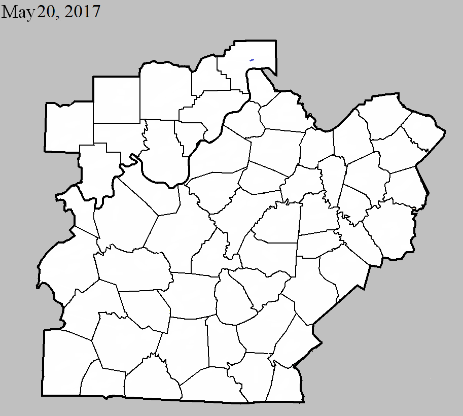
May 20, 2017
County: Jefferson, IN
EF-Scale: EF1
Deaths: 0
Injuries: 0
Path width: 30 yards
Path length: 0.2 mile
Time: 7:10pm - 7:11pm EDT
Notes: Touchdown was just north of West Galway Trail North in a tree line behind some houses. The tornado uprooted and snapped trees as it moved east. An eyewitness reported seeing a black mass with debris moving horizontally. The tornado covered the witness's house in fallen trees. As it crossed Paper Mill Road the inflow winds into the tornado pulled off siding from nearby houses and moved light objects several hundred feet. A camper parked on the southern edge of the path rolled three times toward the center of the circulation and was destroyed. After crossing the road the tornado struck an abandoned farm house and did more tree damage.
Current Hazards
Hazardous Weather Outlook
Storm Prediction Center
Submit a Storm Report
Advisory/Warning Criteria
Radar
Fort Knox
Evansville
Fort Campbell
Nashville
Jackson
Wilmington
Latest Forecasts
El Nino and La Nina
Climate Prediction
Central U.S. Weather Stories
1-Stop Winter Forecast
Aviation
IDSS Forecast Points
Air Quality
Fire Weather
Recreation Forecasts
1-Stop Drought
Event Ready
1-Stop Severe Forecast
Past Weather
Climate Graphs
1-Stop Climate
CoCoRaHS
Local Climate Pages
Tornado History
Past Derby/Oaks/Thunder Weather
Football Weather
Local Information
About the NWS
Forecast Discussion
Items of Interest
Spotter Training
Regional Weather Map
Decision Support Page
Text Products
Science and Technology
Outreach
LMK Warning Area
About Our Office
Station History
Hazardous Weather Outlook
Local Climate Page
Tornado Machine Plans
Weather Enterprise Resources
US Dept of Commerce
National Oceanic and Atmospheric Administration
National Weather Service
Louisville, KY
6201 Theiler Lane
Louisville, KY 40229-1476
502-969-8842
Comments? Questions? Please Contact Us.


 Weather Story
 Weather Map
 Local Radar