Louisville, KY
Weather Forecast Office
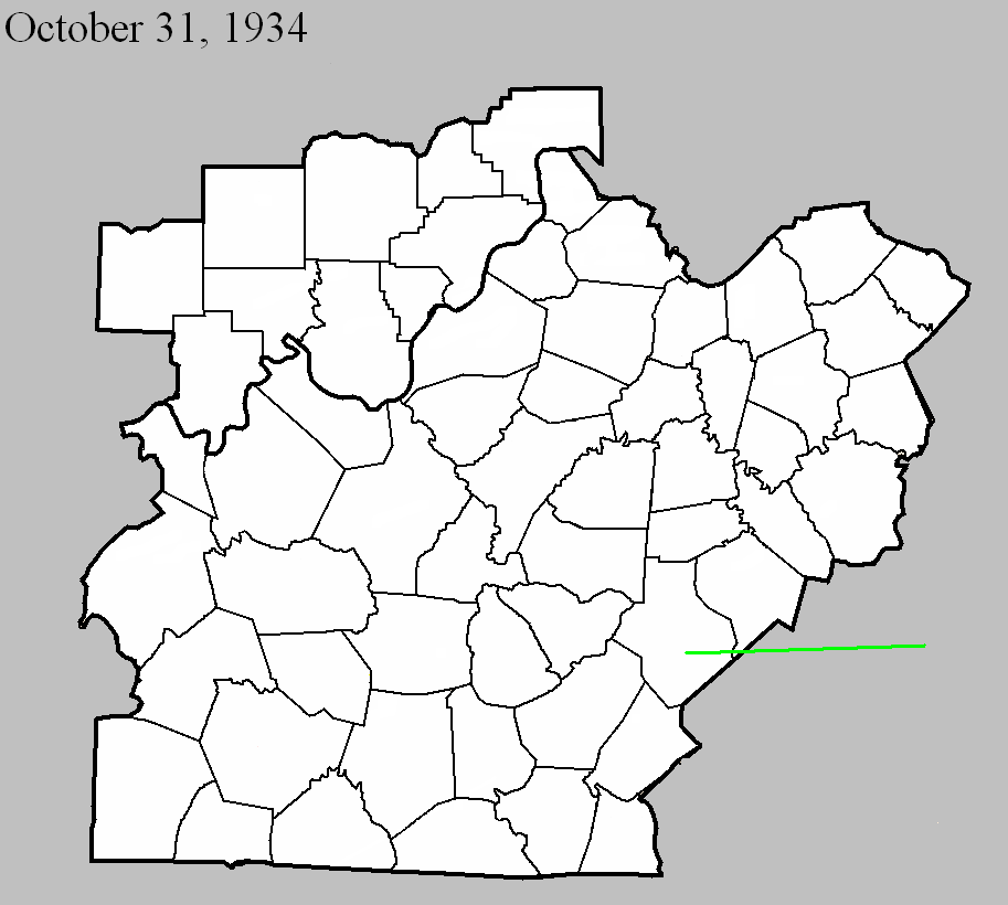
October 31, 1934
Counties: Casey, Lincoln, Pulaski (and on into Rockcastle and Laurel)
F-scale: F2
Deaths: 6
Injuries: 32
Path width: 300 yards
Path length: 45 miles (probably a family of skipping tornadoes)
Time: 5:30pm
Narrative: A complex series of tornadoes and downbursts produced over $350,000 damage in a nine-county area of central Kentucky. The destruction of forty barns in Hart County and damage to 57 homes in Taylor County was likely from straight-line downburst winds. The likelihood of tornado involvement seemed to begin near Gilpin, continued east, passing south of Eubank, and ending in northern Laurel County. One person died in a home near Gilpin. A mother and four children died in one home on the Laurel County side of the Rockcastle River, fifteen miles northwest of London. Their home, which was destroyed, caught fire and only one child could be rescued. Most of the injuries were in the Gilpin-Mount Olive area.
Current Hazards
Hazardous Weather Outlook
Storm Prediction Center
Submit a Storm Report
Advisory/Warning Criteria
Radar
Fort Knox
Evansville
Fort Campbell
Nashville
Jackson
Wilmington
Latest Forecasts
El Nino and La Nina
Climate Prediction
Central U.S. Weather Stories
1-Stop Winter Forecast
Aviation
IDSS Forecast Points
Air Quality
Fire Weather
Recreation Forecasts
1-Stop Drought
Event Ready
1-Stop Severe Forecast
Past Weather
Climate Graphs
1-Stop Climate
CoCoRaHS
Local Climate Pages
Tornado History
Past Derby/Oaks/Thunder Weather
Football Weather
Local Information
About the NWS
Forecast Discussion
Items of Interest
Spotter Training
Regional Weather Map
Decision Support Page
Text Products
Science and Technology
Outreach
LMK Warning Area
About Our Office
Station History
Hazardous Weather Outlook
Local Climate Page
Tornado Machine Plans
Weather Enterprise Resources
US Dept of Commerce
National Oceanic and Atmospheric Administration
National Weather Service
Louisville, KY
6201 Theiler Lane
Louisville, KY 40229-1476
502-969-8842
Comments? Questions? Please Contact Us.


 Weather Story
 Weather Map
 Local Radar