Overview
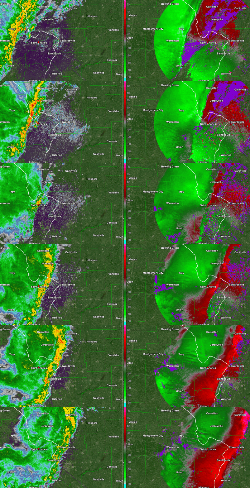
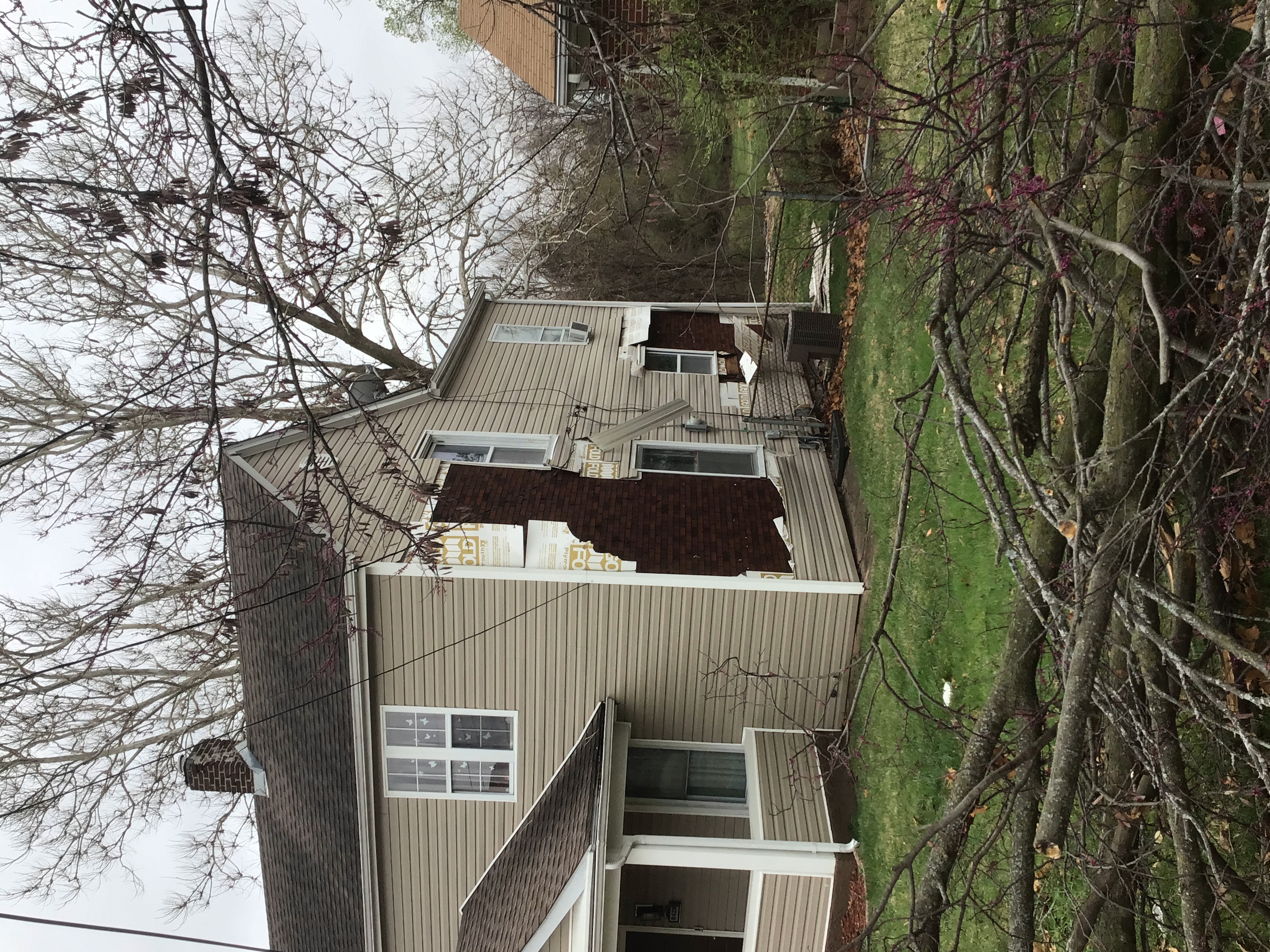
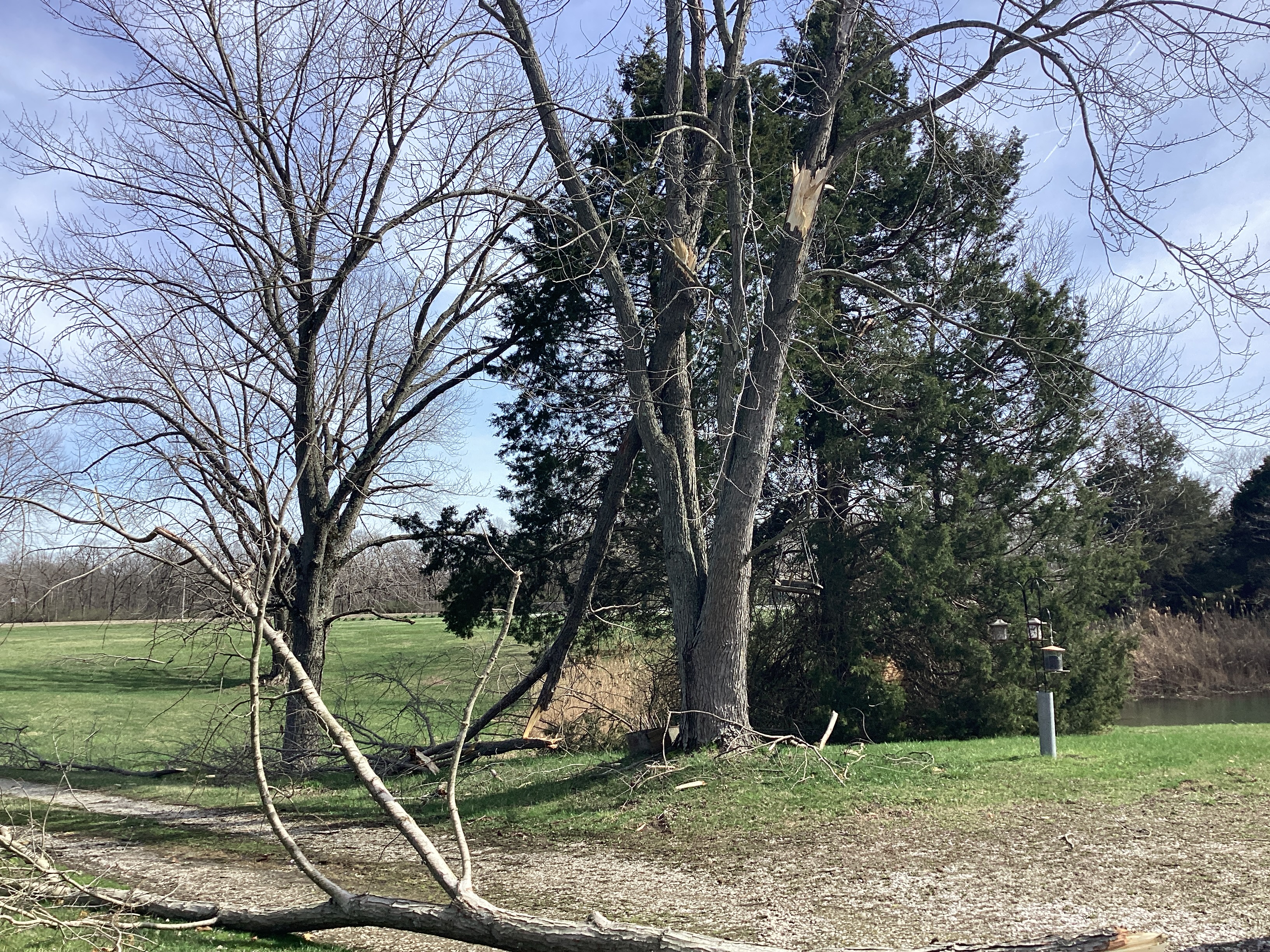
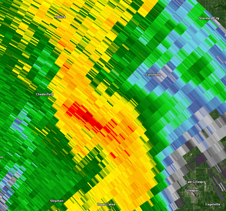
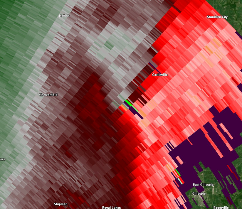
Two rounds of severe weather impacted the bi-state area on March 14th, 2024. Just after sunrise, a quasi-linear convective system (QLCS) produced five confirmed EF-0 tornadoes. Four of these occurred in rural south central Illinois, and another tracked through Charlack, Missouri in northern St. Louis County. The second round of convection occurred in the afternoon and evening hours. A series of supercells produced widespread severe hail as they raced through Missouri and Illinois. The largest hailstones were reported to be between three and four inches in diameter. These fell in and around the St. Louis metropolitan area and caused significant property damage. Luckily, there were no reported injuries or fatalities with either round of thunderstorms.
Tornadoes
|
Tornado - Jerseyville, IL
Track Map 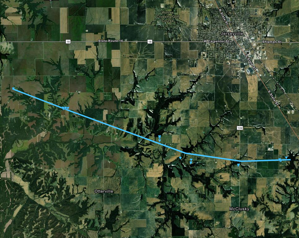 
|
||||||||||||||||
|
||||||||||||||||
|
Tornado - Charlack, MO
Track Map 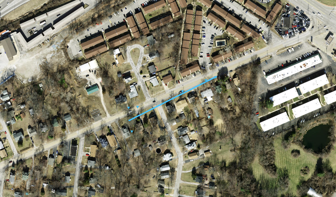
|
||||||||||||||||
|
||||||||||||||||
|
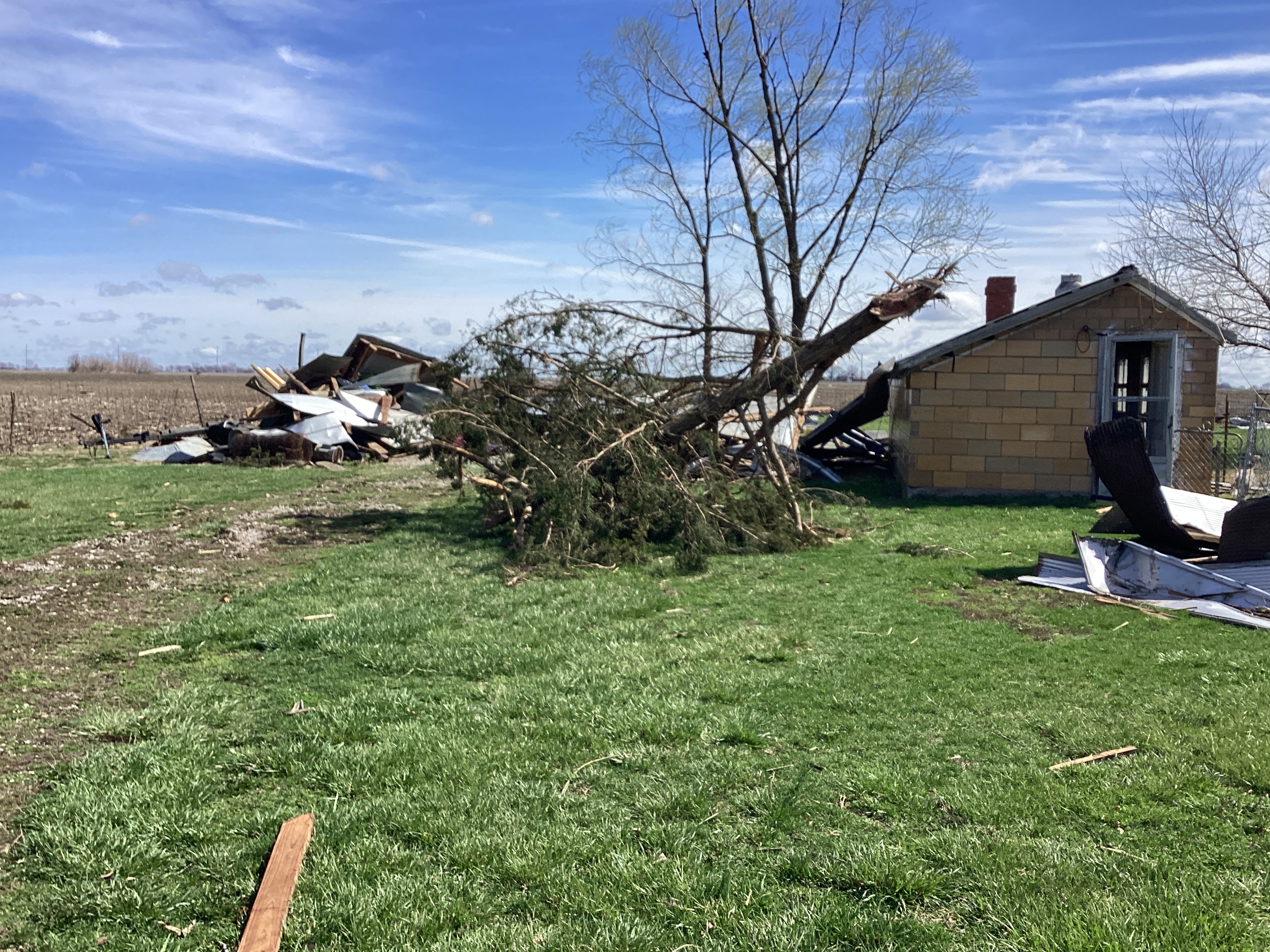
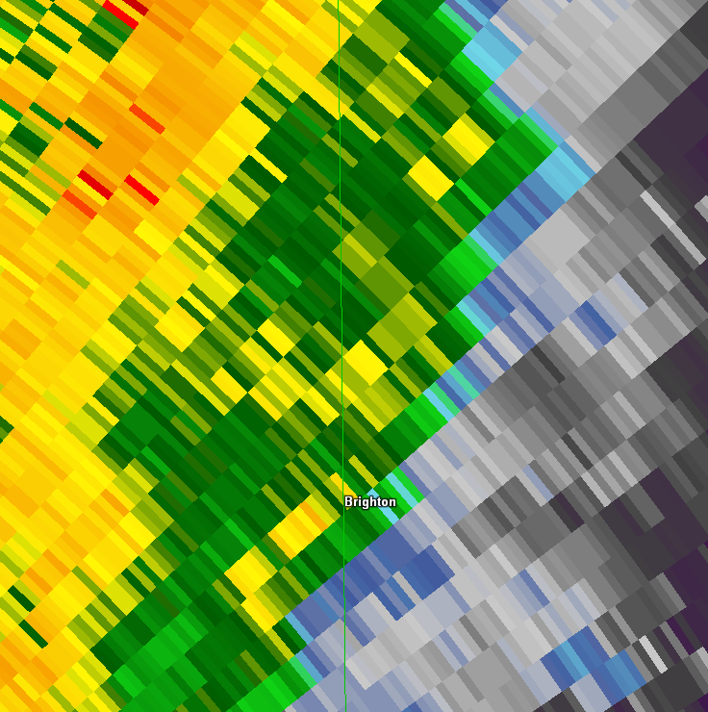
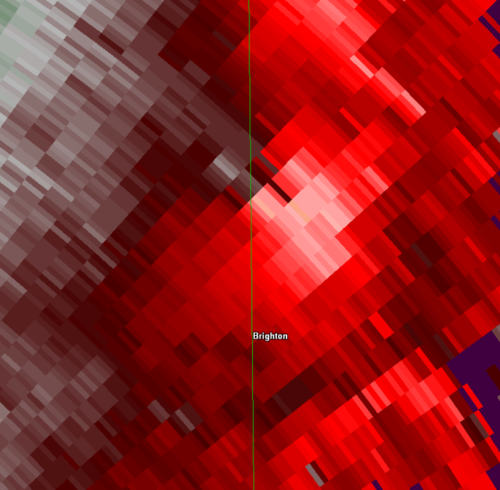
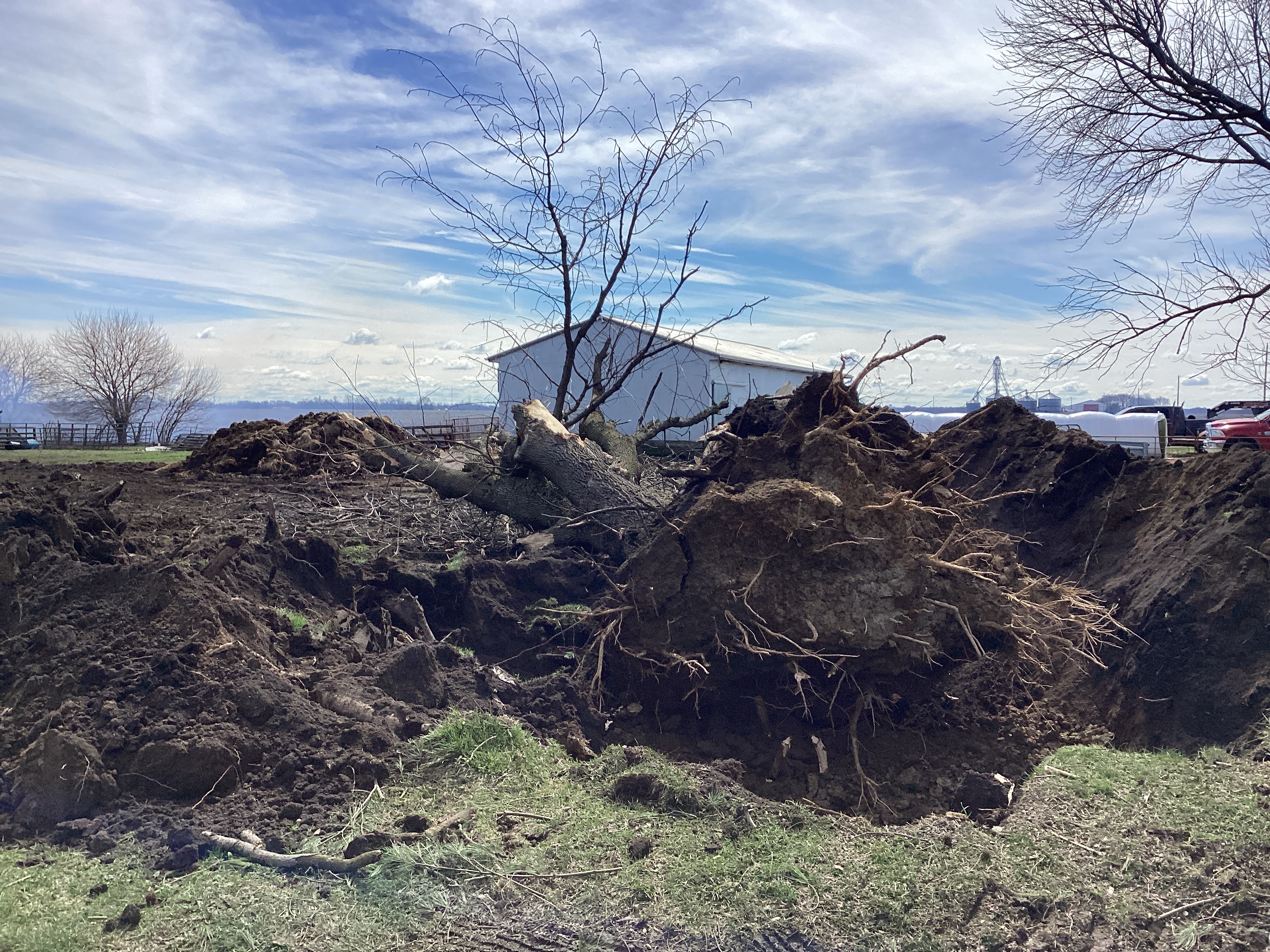
Tornado - Brighton, IL
Track Map 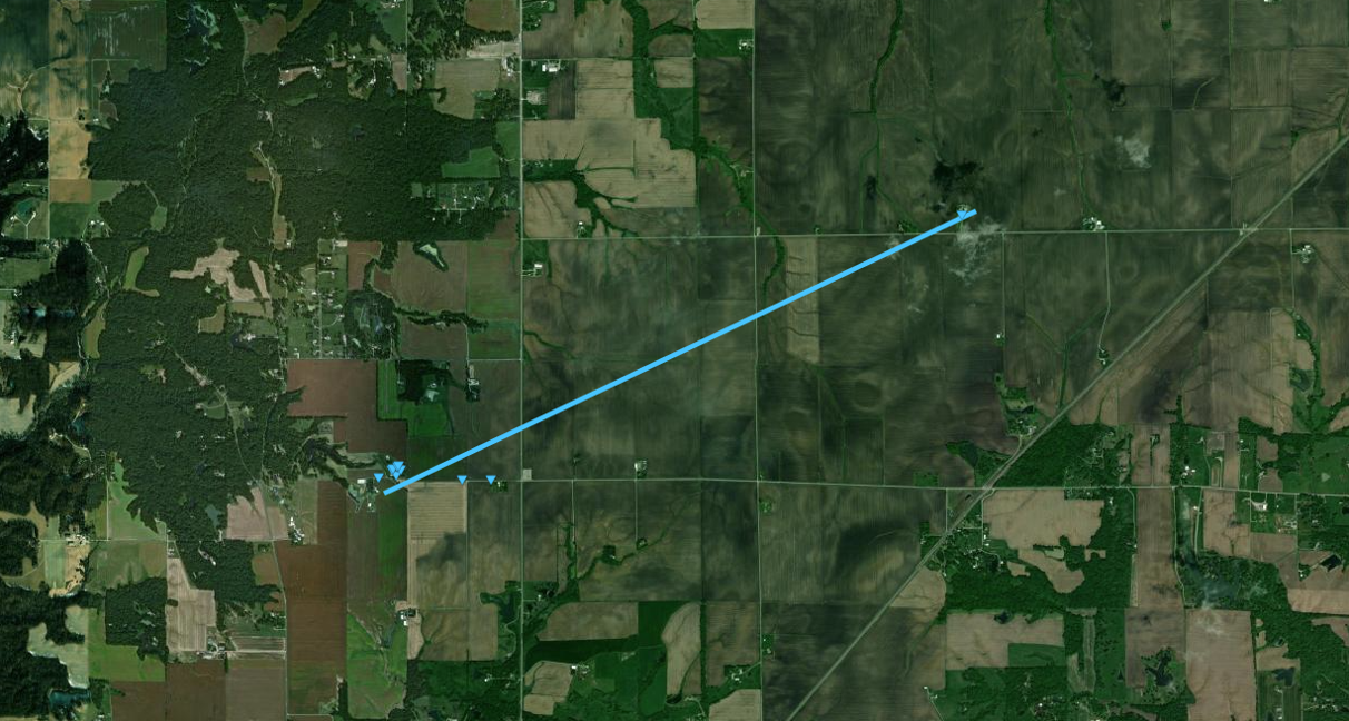
|
||||||||||||||||
|
||||||||||||||||
|
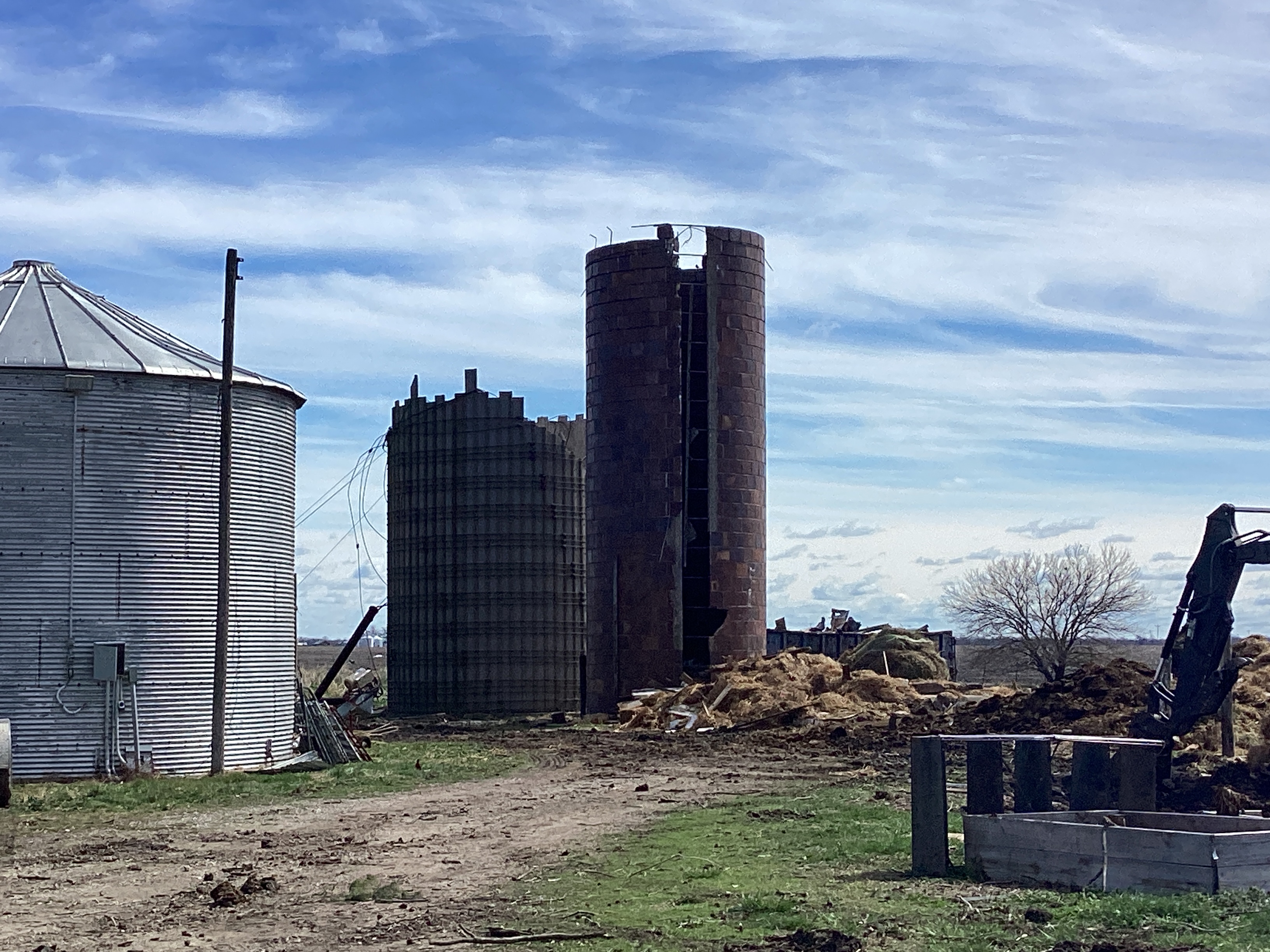
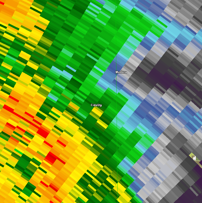
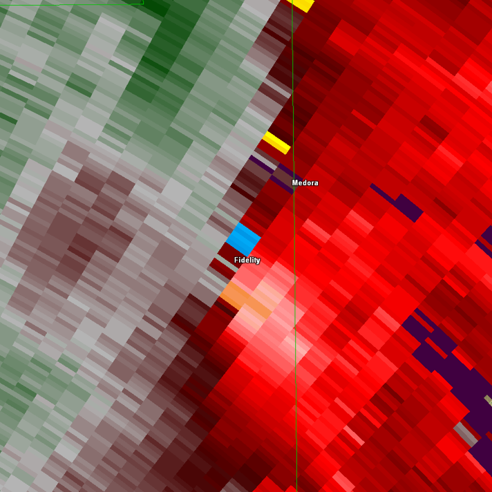
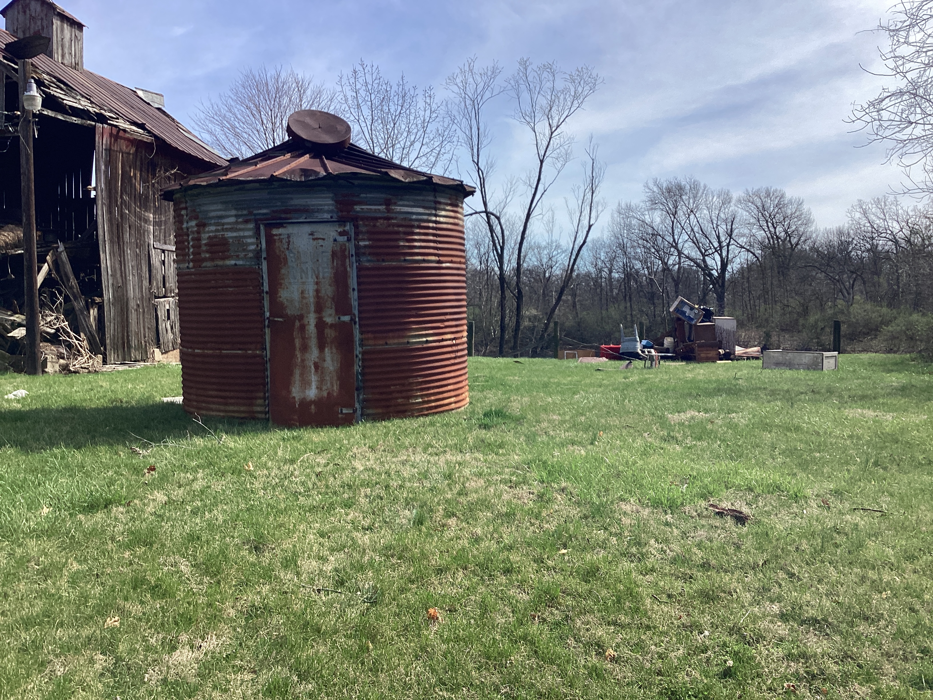
Tornado - Fidelity, IL
Track Map 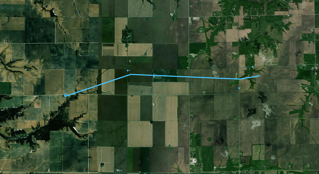
|
||||||||||||||||
|
||||||||||||||||
|
Tornado - Carlinville, IL
Track Map 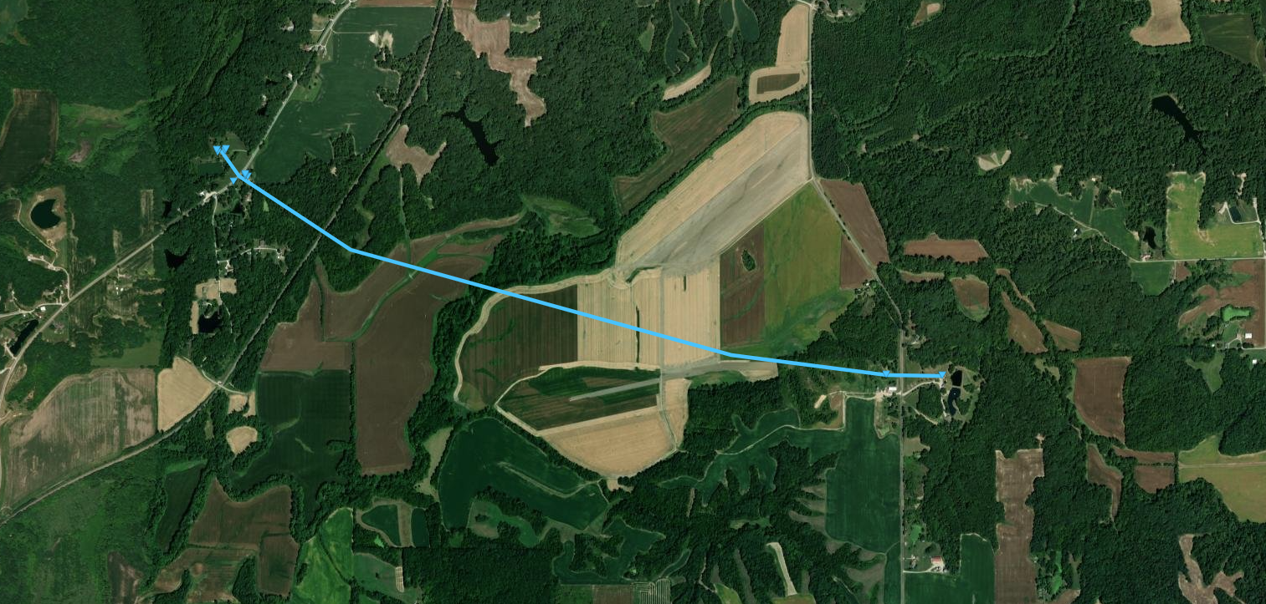
|
||||||||||||||||
|
||||||||||||||||
The Enhanced Fujita (EF) Scale classifies tornadoes into the following categories:
| EF0 Weak 65-85 mph |
EF1 Moderate 86-110 mph |
EF2 Significant 111-135 mph |
EF3 Severe 136-165 mph |
EF4 Extreme 166-200 mph |
EF5 Catastrophic 200+ mph |
 |
|||||
Wind & Hail
Wind
 |
 |
 |
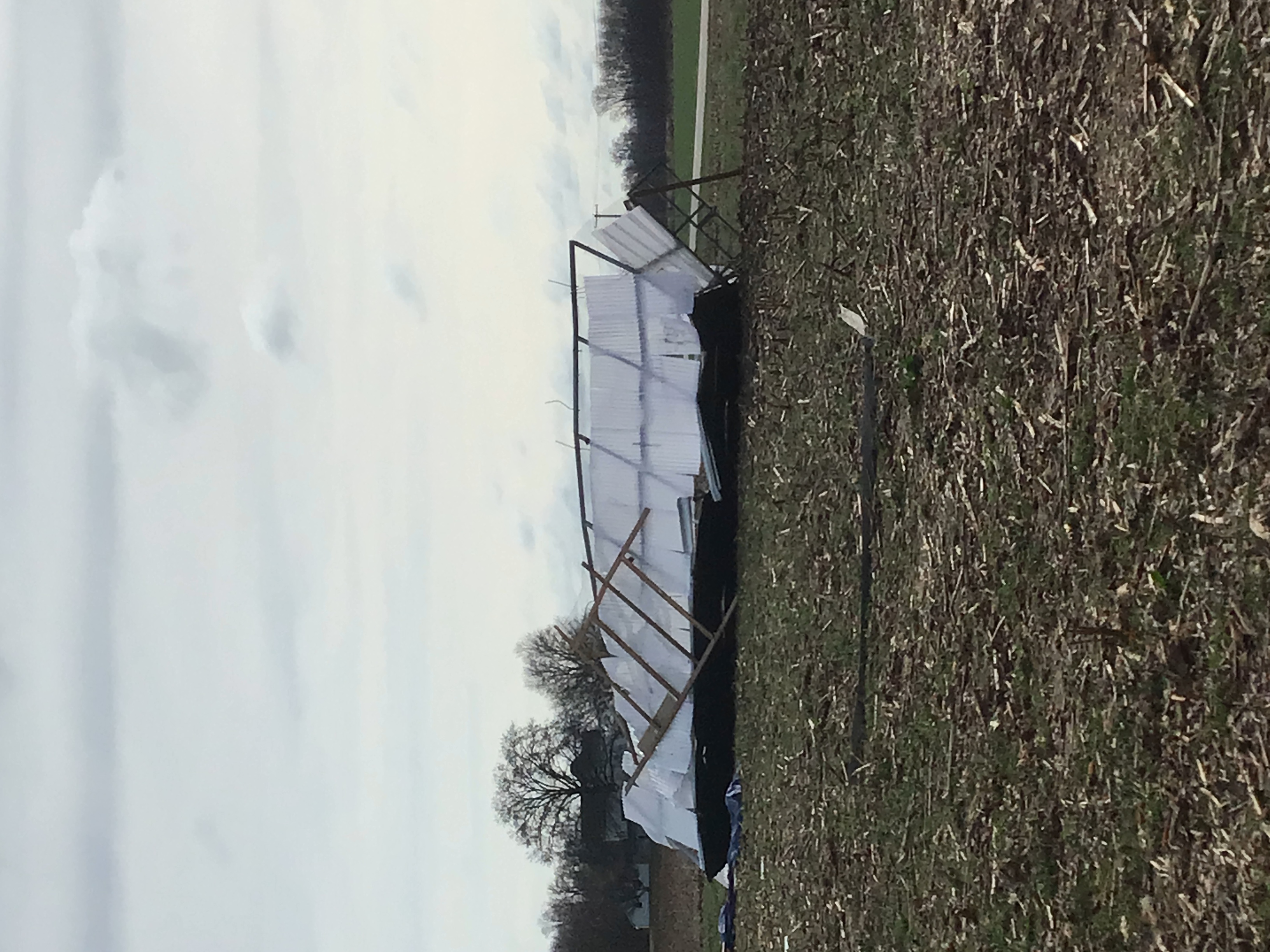 |
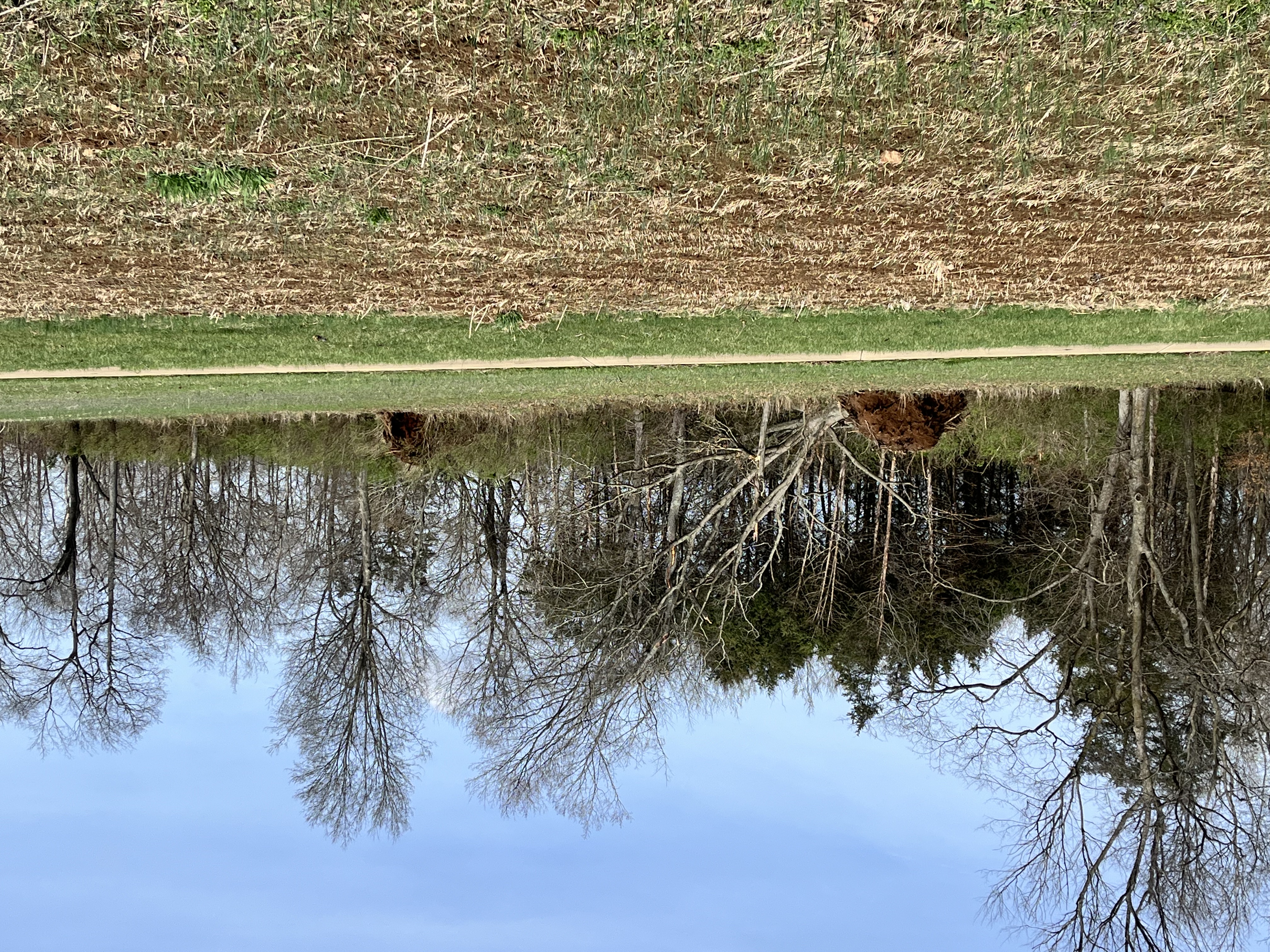
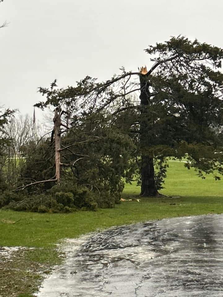
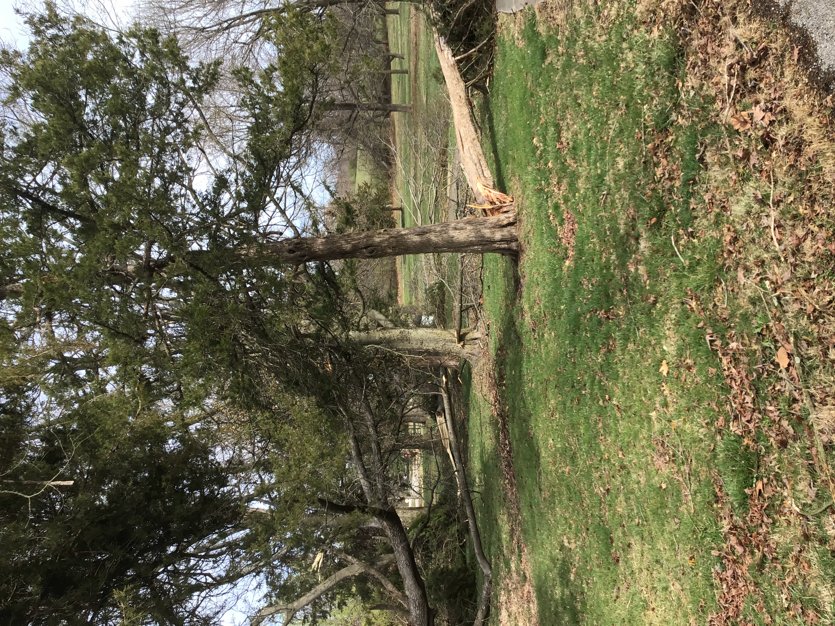
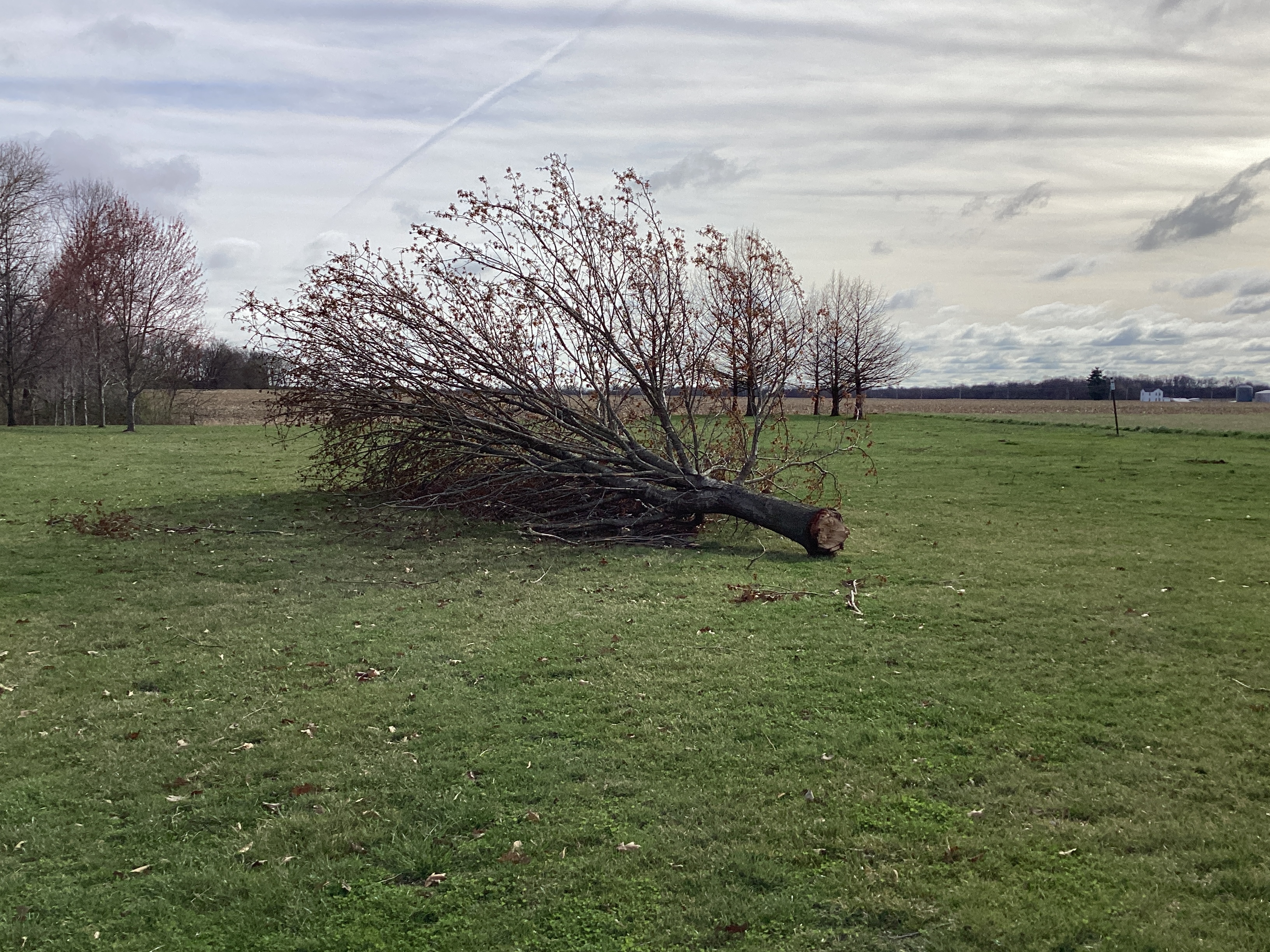
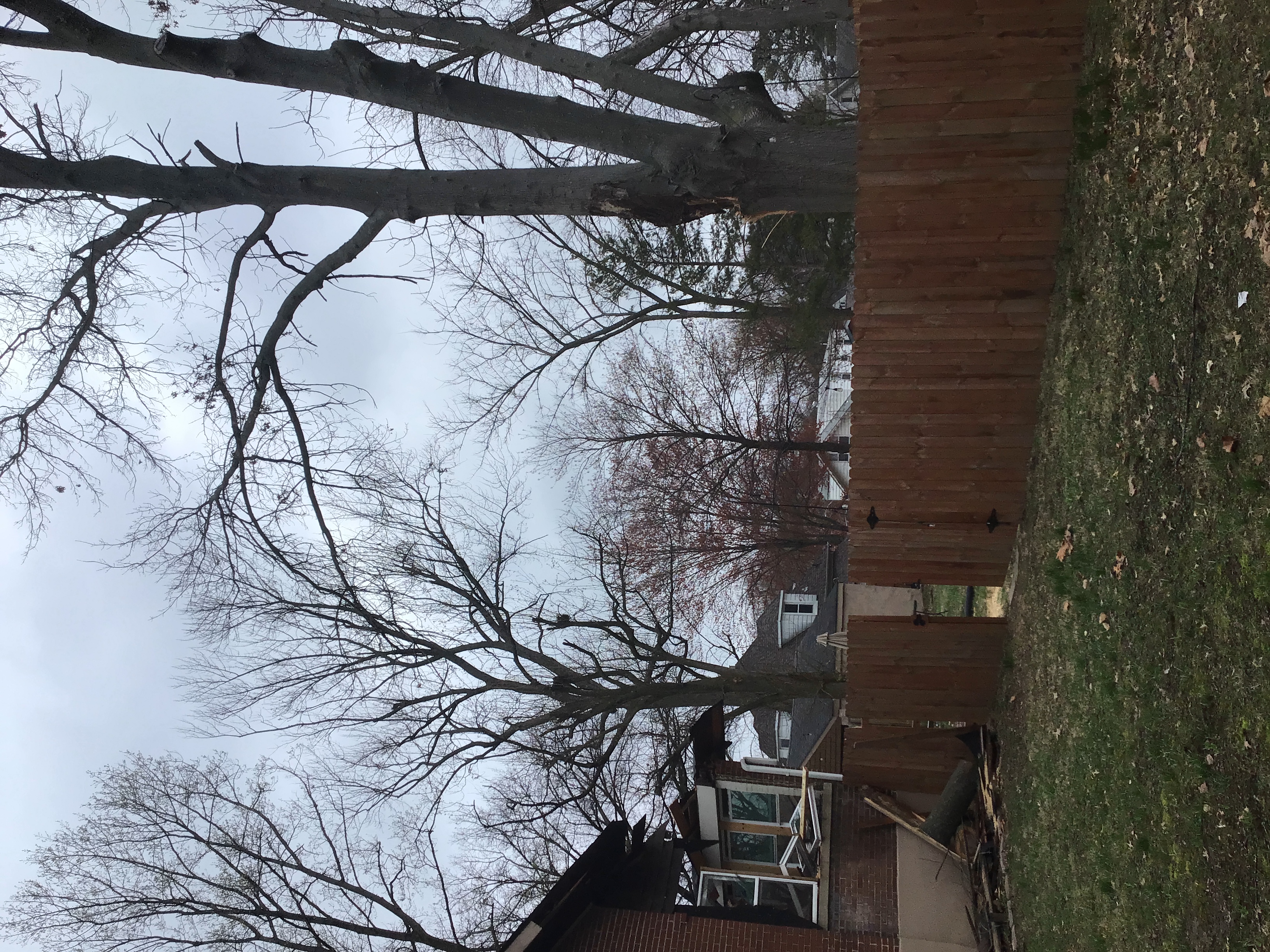
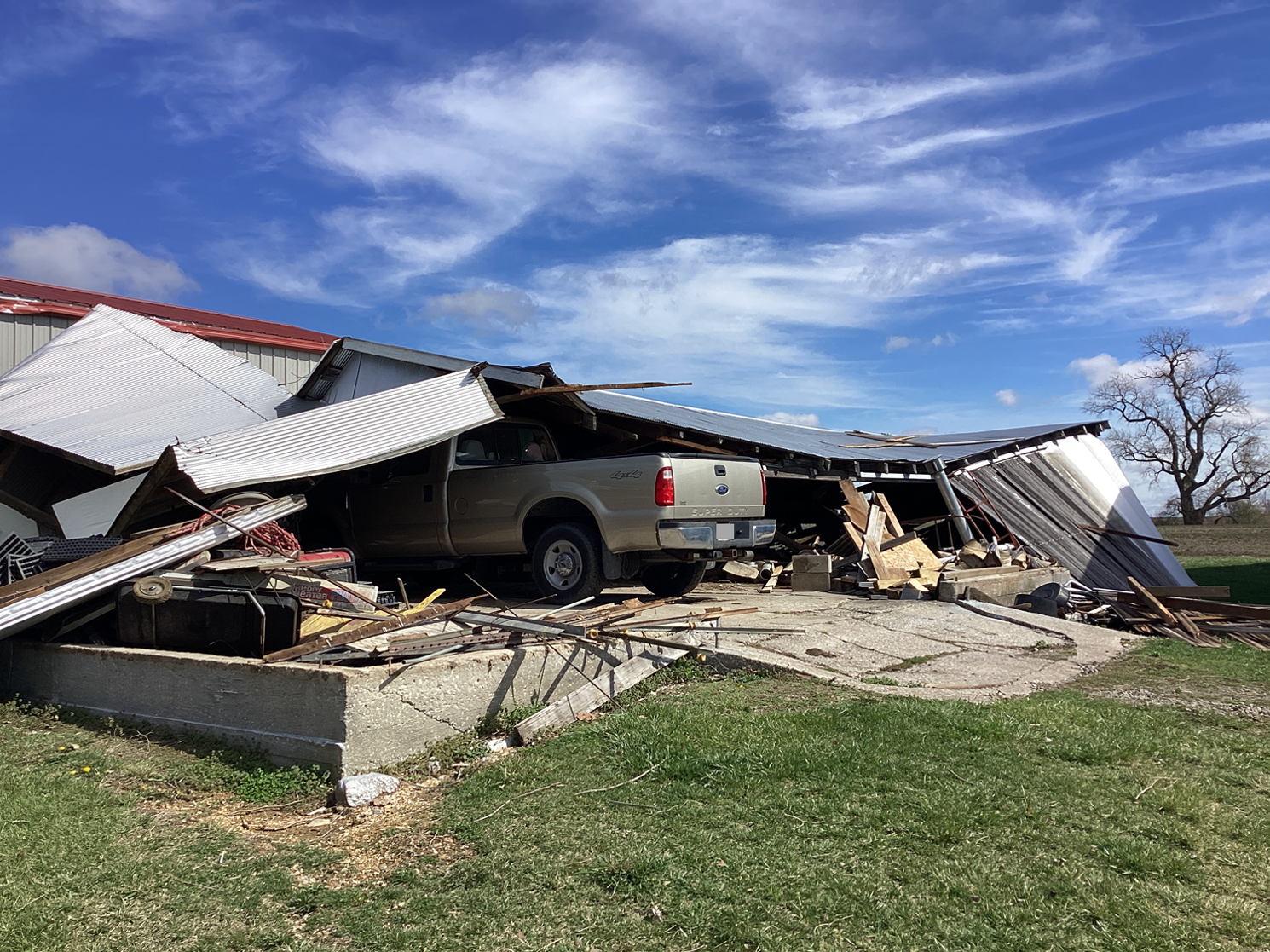
| A large tree uprooted in Farmington, MO | A large tree snapped in Warrenton, MO | Trees snapped and fallen in Pere Marquette State Park in Grafton, IL | A structure blown into a field in Pere Marquette State Park in Grafton, IL |
Hail
 |
 |
 |
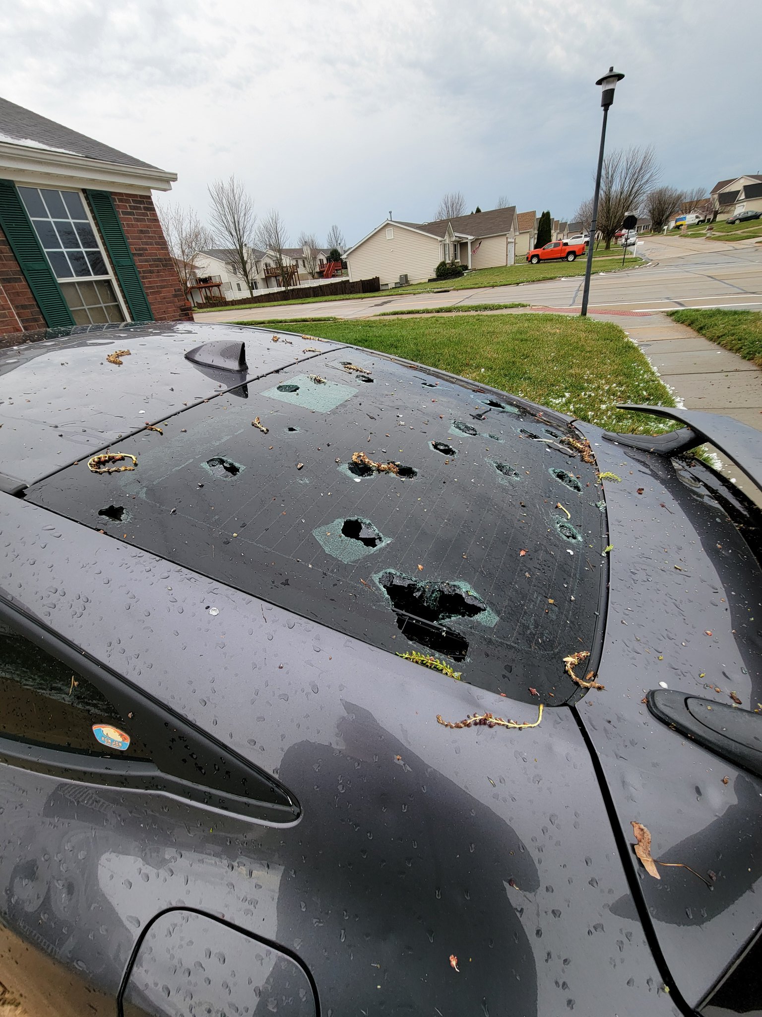 |
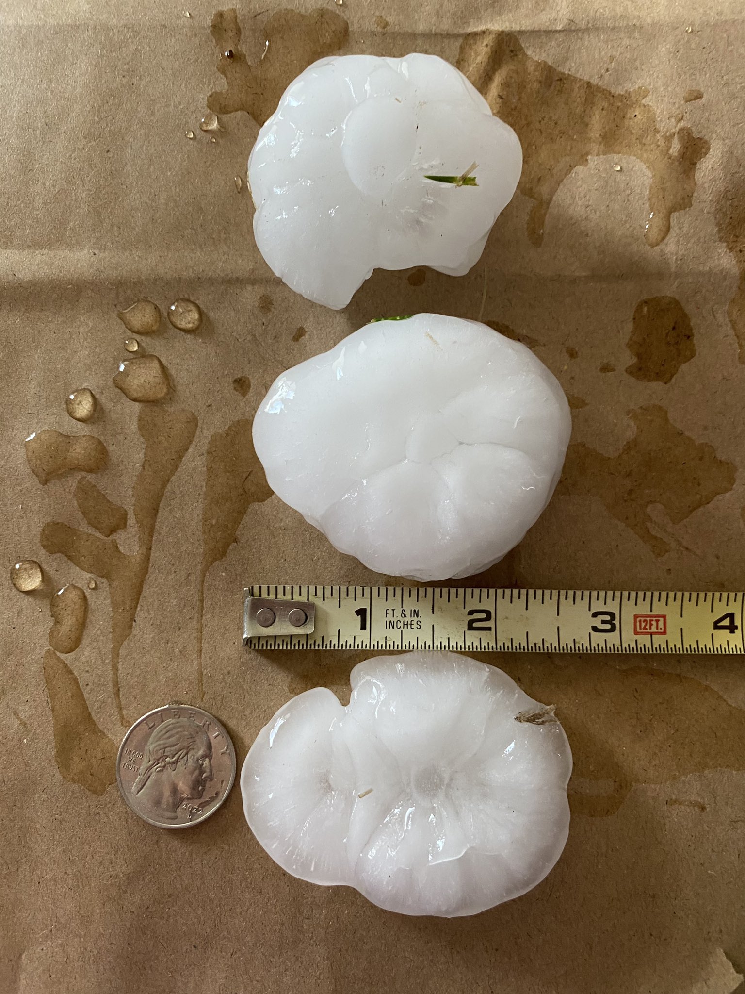
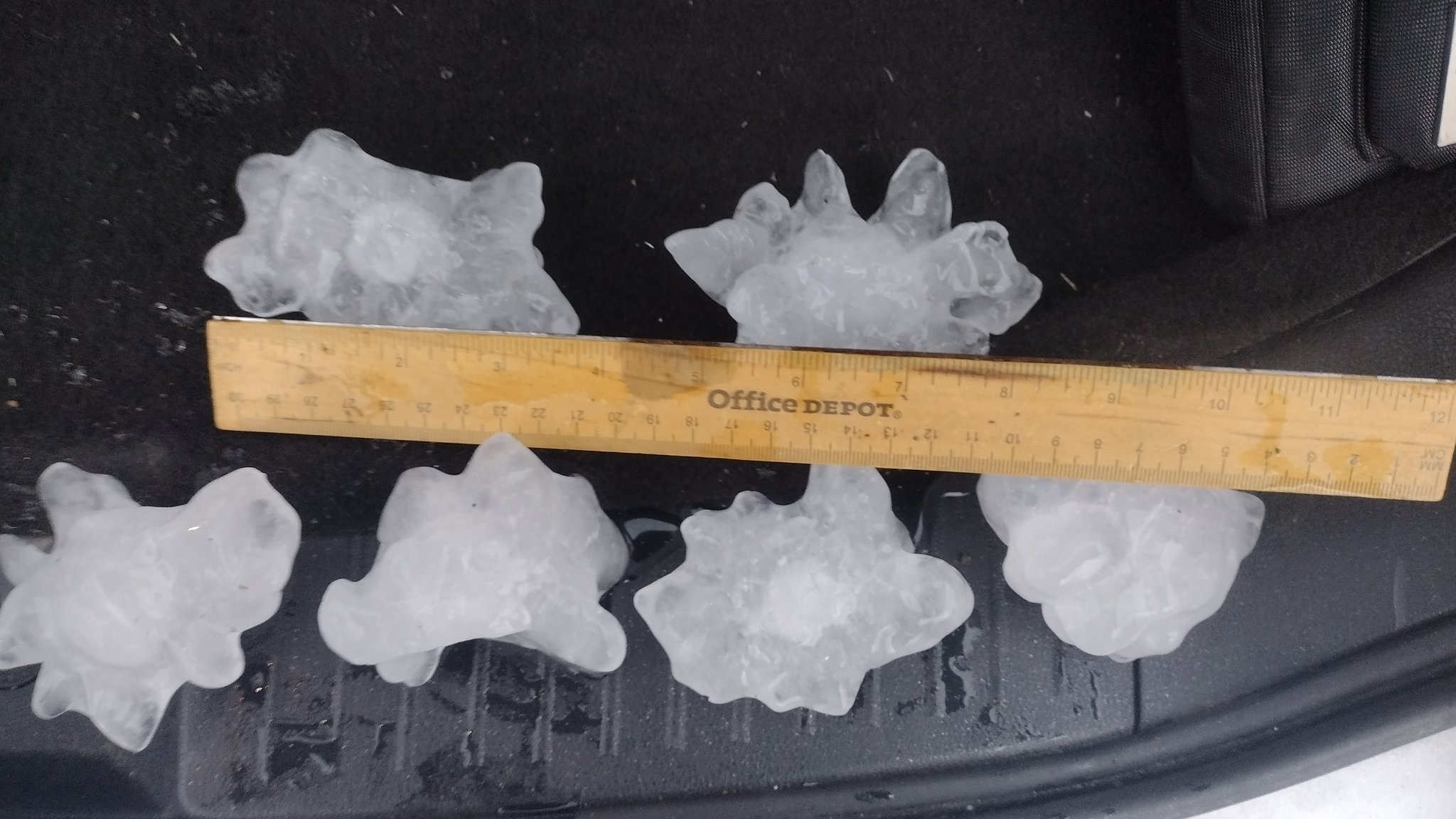
| 2.5 inch hail in O'Fallon, MO. Captured by Cheryl Ito | 3.75 inch hail in Livingston, IL. Captured by Brandon Swanson | 3 inch hail in O'Fallon, MO. | A car damaged by large hail in the northern St. Louis metro area. Captured by Karen Ruiz |
Radar
 |
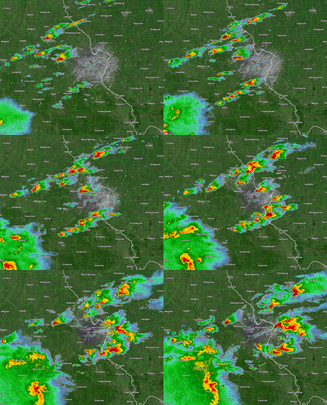 |
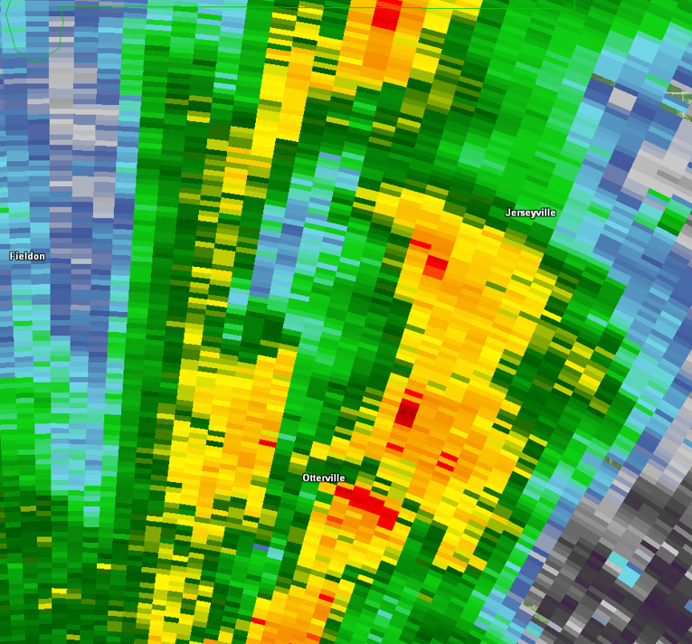
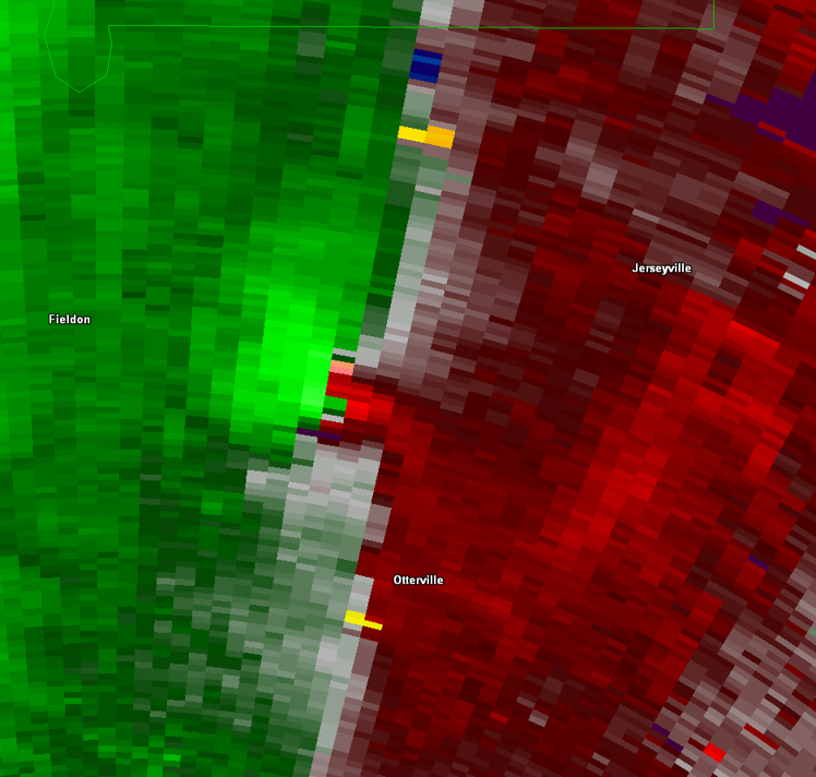
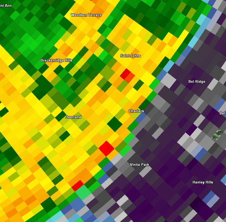
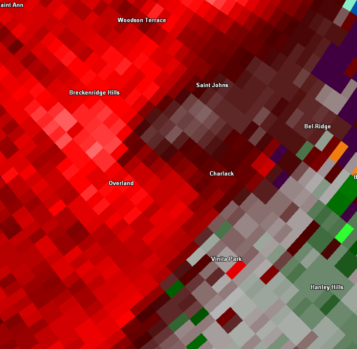
| Radar reflectivity (left) and base velocity (right) show a quasi-linear convective system passing through the St. Louis metropolitan area during the morning. In the base velocity loop, multiple couplets can briefly be seen along the leading edge of the line. Many of these produced EF-0 tornadoes. | Reflectivity shows a series of supercells moving northeast across the bi-state in the afternoon. The cells passing over St. Charles County, MO and Madison County, IL produced 3 to 3.75 inch hail. |
Storm Reports
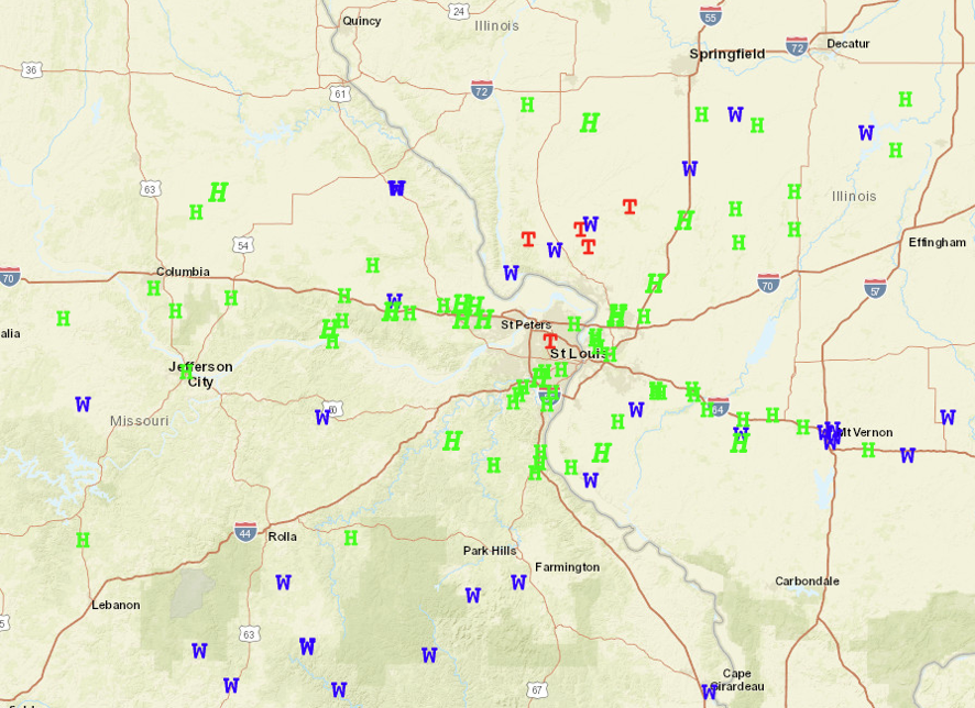
W = Wind Report H = Hail Report T = Tornado Report
Note: Nearly 300 reports were logged around the St. Louis Area March 14th, causing multiple reports to overlap over many locations.
Be mindful that the plotted points may not be entirely representative for the number of severe reports received and logged through the event.
 |
Media use of NWS Web News Stories is encouraged! Please acknowledge the NWS as the source of any news information accessed from this site. |
|



 Weather Story
 Weather Map
 Local Radar
 Follow us on X
 Follow us on Facebook
 Follow us on YouTube
 LSX RSS Feed