National Weather Service United States Department of Commerce

Cooler air will begin filtering into the region tonight, stretching through the next several days. Precipitation chances return late Friday, but severe weather is not expected.
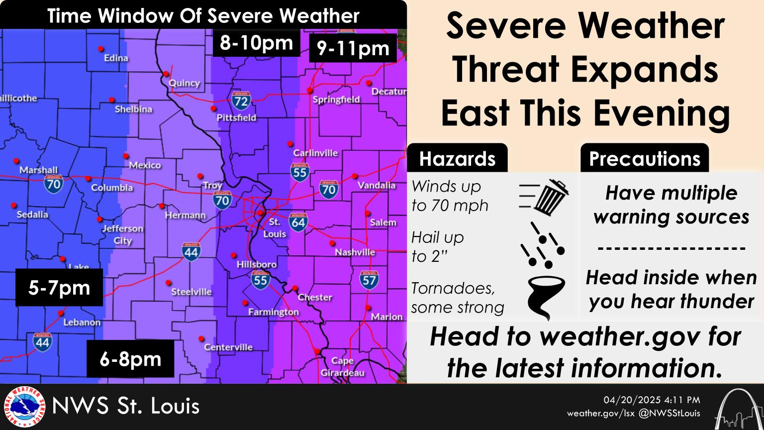
Numerous strong to severe thunderstorms developed over Missouri and tracked east into Illinois late Tuesday night into the very early morning Wednesday. Several areas reported hail, high winds and tornadoes. So far, 4 tornadoes have been confirmed with additional surveys to be conducted. All tornadoes surveyed thus far have been rated EF-1 or weaker.
The damage survey for the May 16 tornado has concluded. The tornado touched down in Clayton and tracked northeast for nearly 23 miles. It expanded to 1 mile wide as it tracked through the northern parts of St Louis city at 55 mph. It continued across the river in Illinois until lifting near Southern Illinois University Edwardsville. The tornado was rated EF3 with wind speeds as high as 152 mph. It is possible that more than one tornadic circulation was involved and further analysis will be done to determine whether this was one single tornado or multiple tornadoes.