Overview
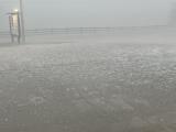
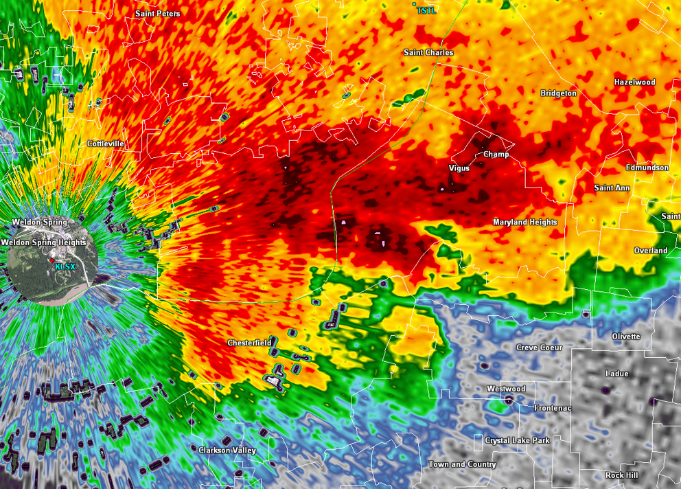
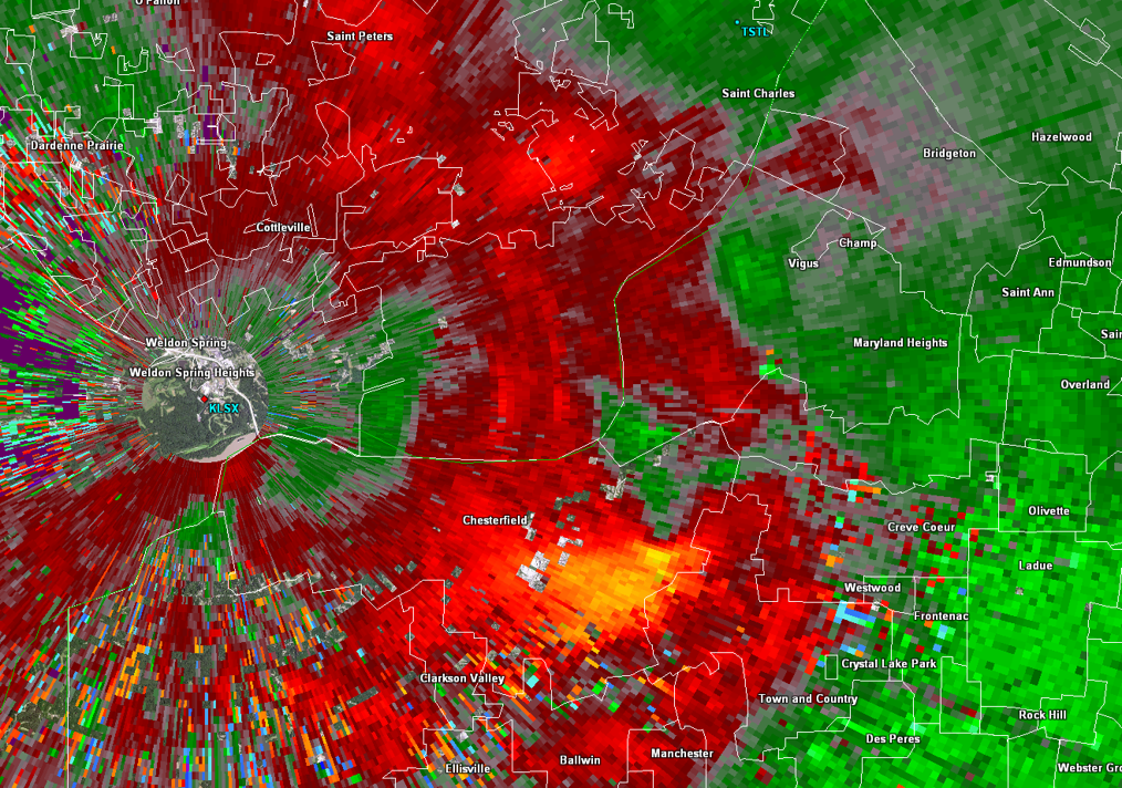
| Through the day of April 1, a warm front lifted north and left much of the area in a warm, moist, and increasingly unstable airmass. This instability combined with strong vertical wind shear to support multiple waves of severe thunderstorms that tracked along and south of I-70 from the evening of April 1 through the early morning of April 2. Through the evening, thunderstorms took the form of isolated supercells producing large hail up to golf ball size (1.75" diameter) and hen egg size (2" diameter) and isolated damaging winds near the Missouri River into the western and northern St. Louis metropolitan area in addition to a brief EF0 tornado in Chesterfield, MO. Later into the evening and overnight, a gradual transition to clusters and lines of thunderstorms occurred accompanied by hail up to quarter size (1" diameter) and damaging winds. Lastly, these multiple rounds of thunderstorms, some with sustained heavy rain from training, yielded narrow swaths of 2–4" of rainfall which led to some instances of flash flooding primarily in the urbanized St. Louis metropolitan area. | 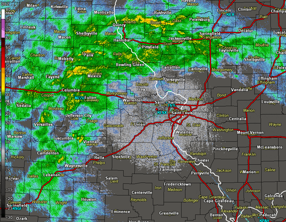 A loop of KLSX radar data from the evening of April 1 through the early morning of April 2. |
Tornadoes
|
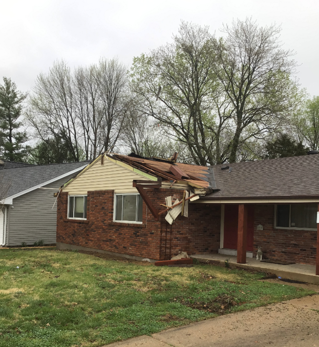
Tornado - Chesterfield, MO
Track Map 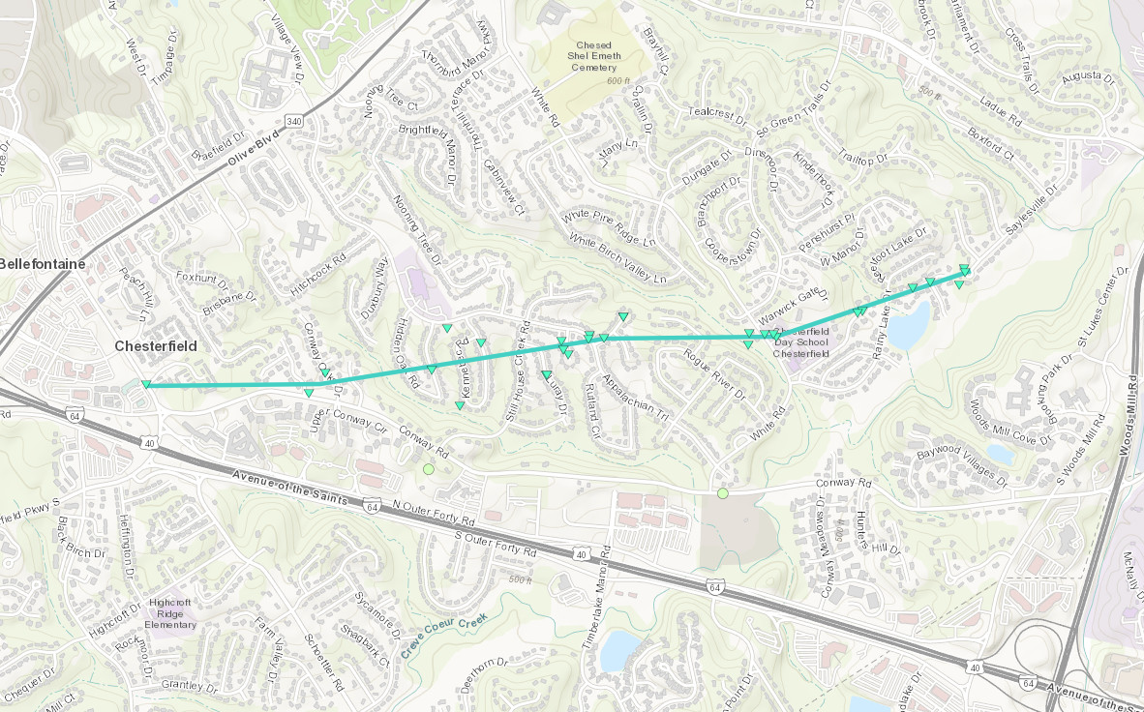  |
||||||||||||||||
|
||||||||||||||||
The Enhanced Fujita (EF) Scale classifies tornadoes into the following categories:
| EF0 Weak 65-85 mph |
EF1 Moderate 86-110 mph |
EF2 Significant 111-135 mph |
EF3 Severe 136-165 mph |
EF4 Extreme 166-200 mph |
EF5 Catastrophic 200+ mph |
 |
|||||
Wind & Hail:
Wind
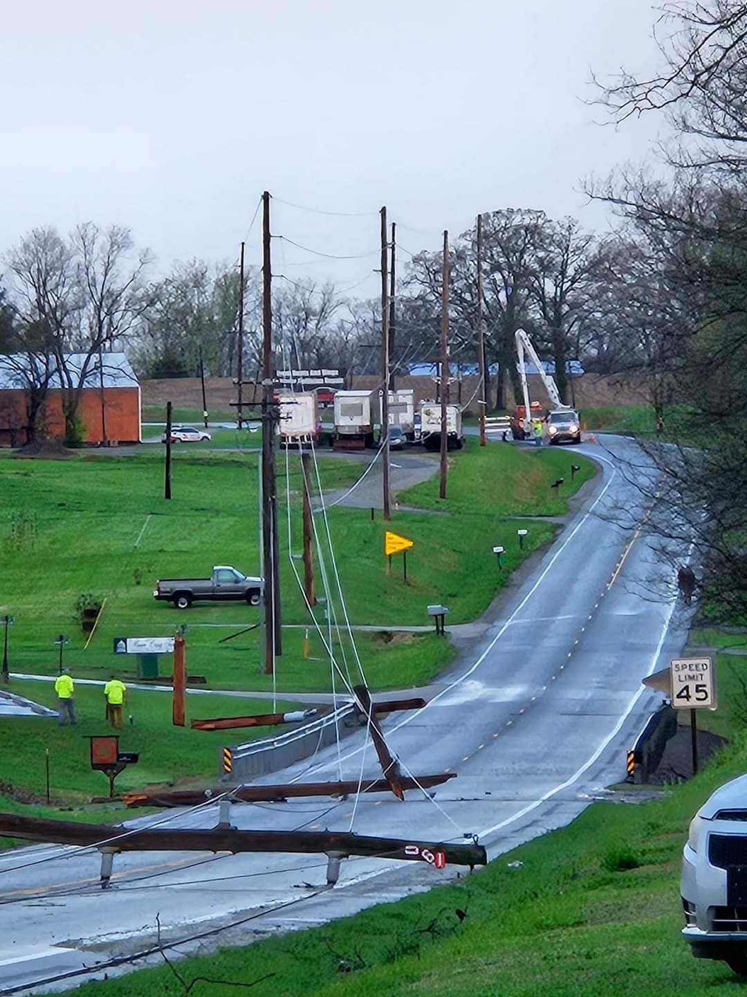
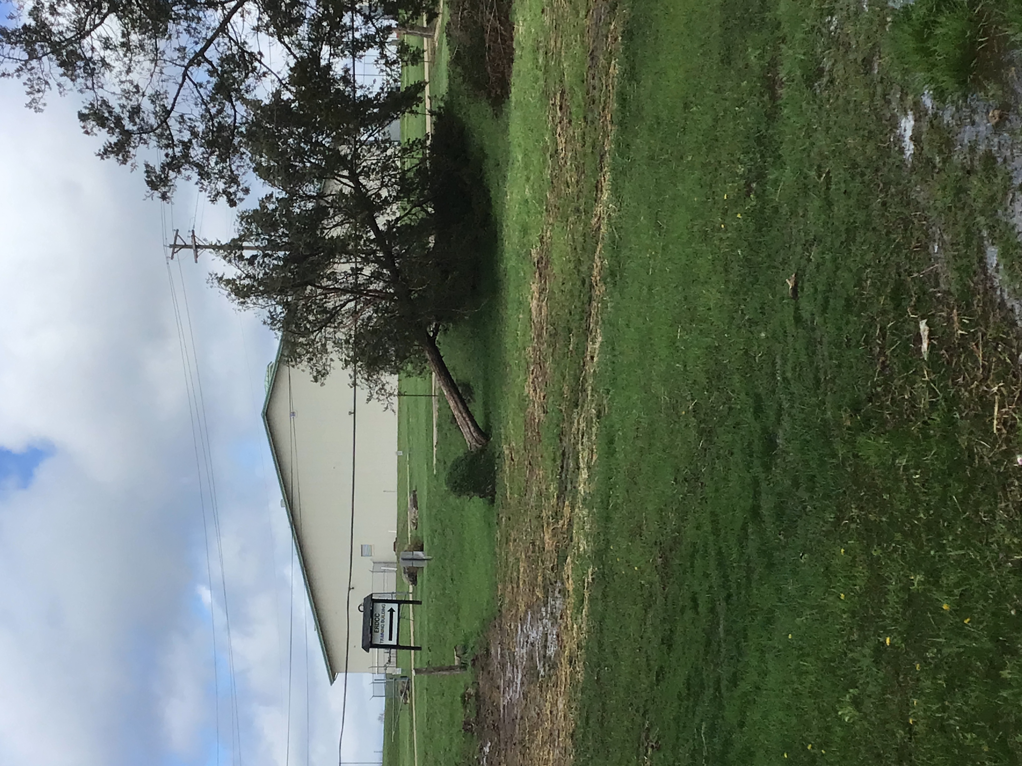
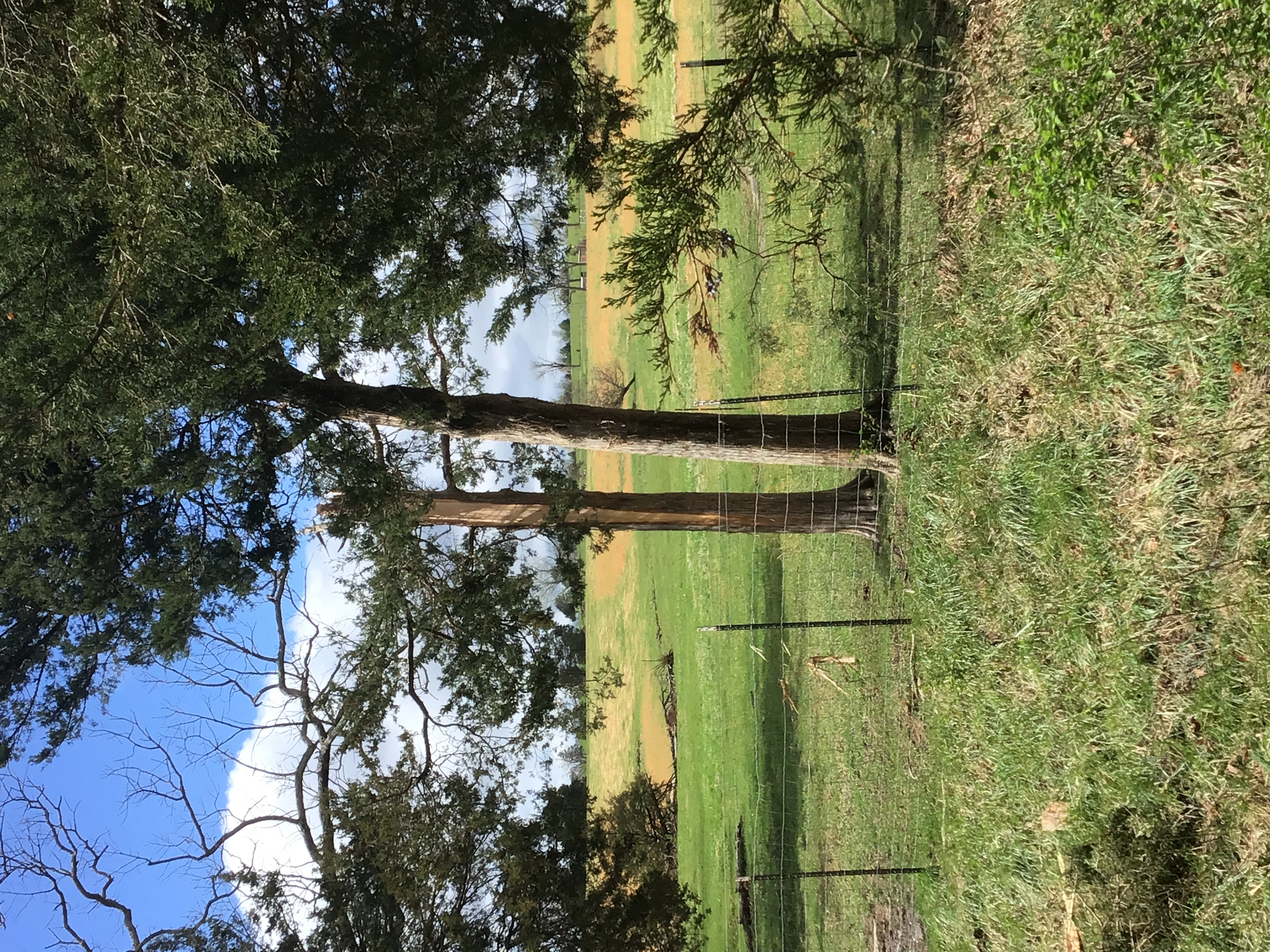
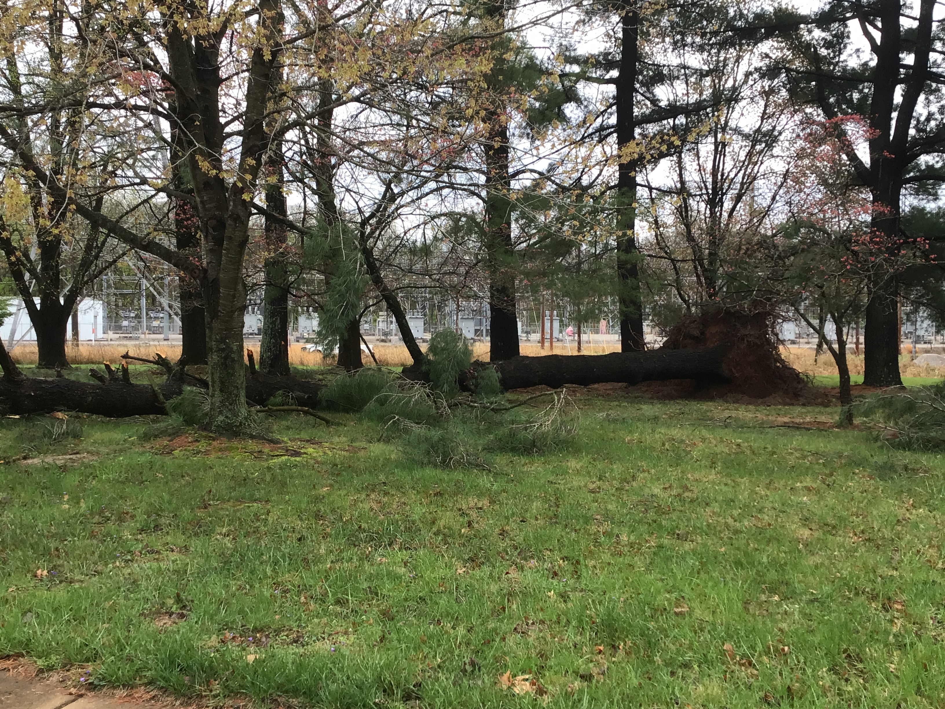
Straight-line winds were responsible for damage to trees and power poles near Bonne Terre, Missouri and Chester, Illinois. There was also wind damage in western St. Louis County independent of the Chesterfield EF0 tornado.
 |
 |
 |
 |
| Downed Power Poles Chester, IL Photo Credit: Sherri Fortman |
Uprooted Tree Bonne Terre, MO |
Snapped Tree Bonne Terre, MO |
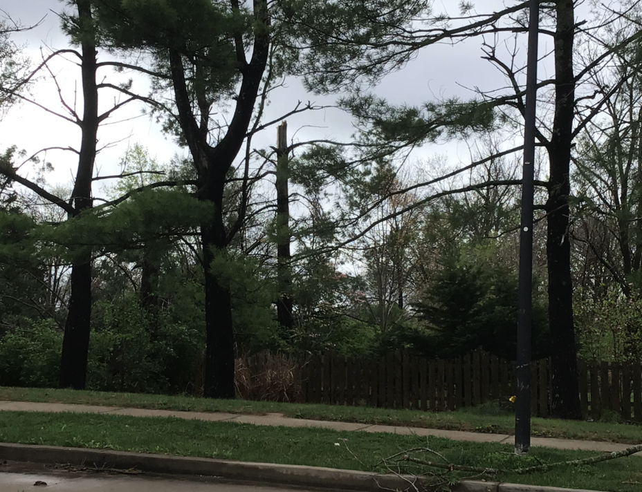
Uprooted Trees Chesterfield, MO |
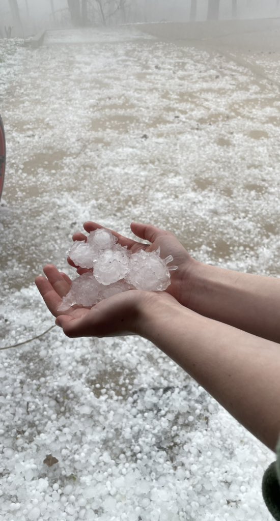
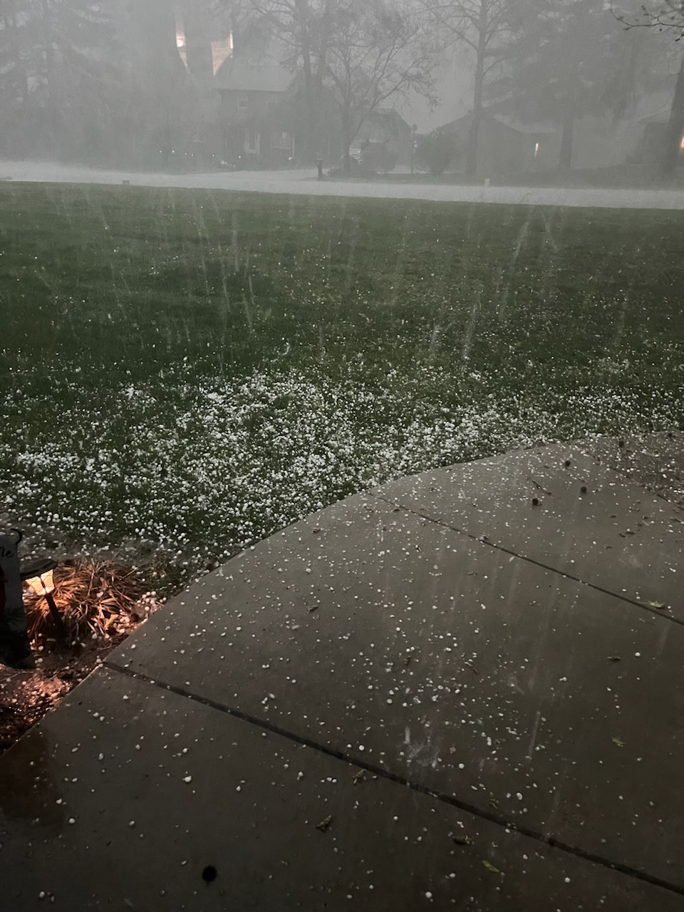
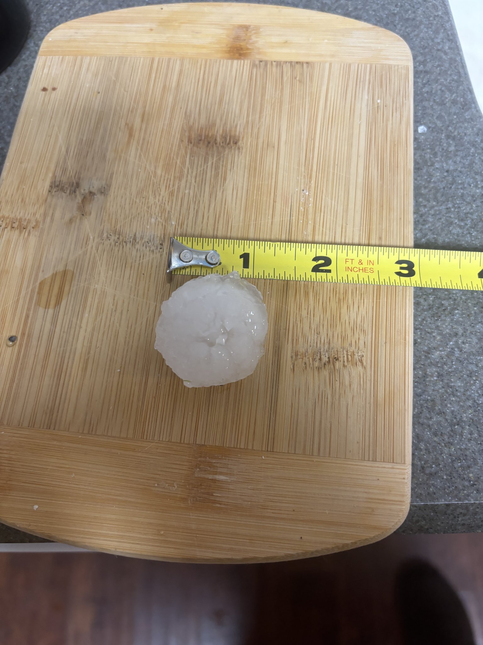
Hail
Golf ball (1.75") to hen egg (2.00") sized hailstones coated the ground in east-central Missouri including portions of the St. Louis metropolitan area.
 |
 |
 |
 |
| Golf Ball Sized Hail Wardsville, MO Photo Credit: Sam Fleury |
Quarter Sized Hail St. Charles, MO Photo Credit: Joseph Meyer |
Half Dollar Sized Hail Harvester, MO Photo Credit: Philip Perrey |
Golf Ball Sized Hail Wardsville, MO Photo Credit: Barry Gipe |
 |
Media use of NWS Web News Stories is encouraged! Please acknowledge the NWS as the source of any news information accessed from this site. |
|


 Weather Story
 Weather Map
 Local Radar