Overview
|
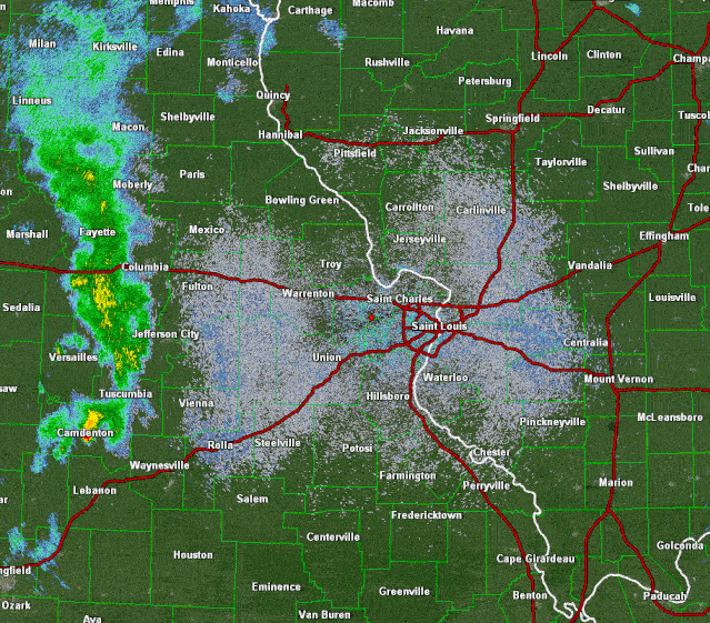
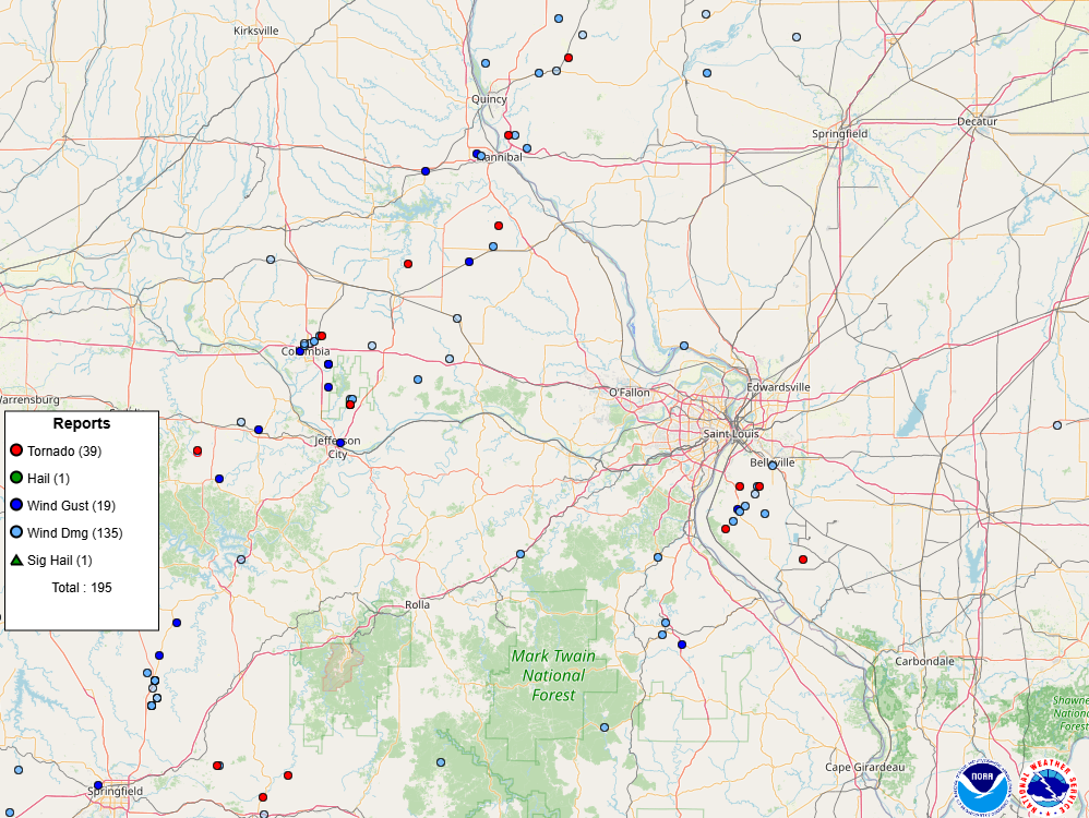
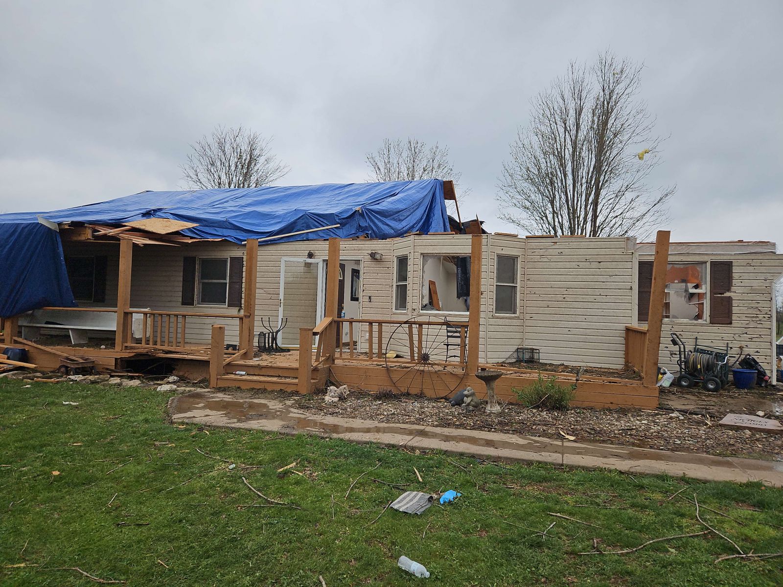
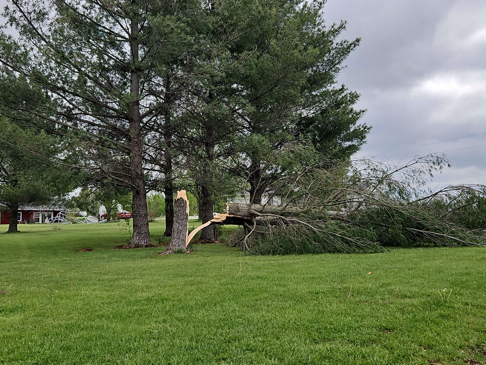
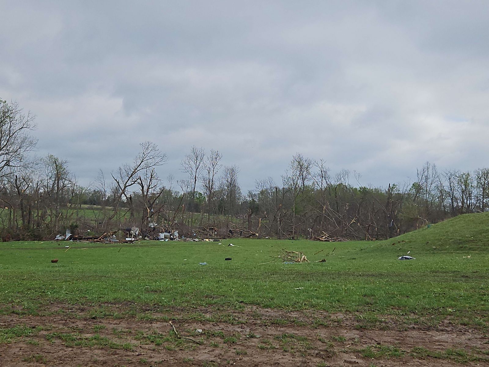
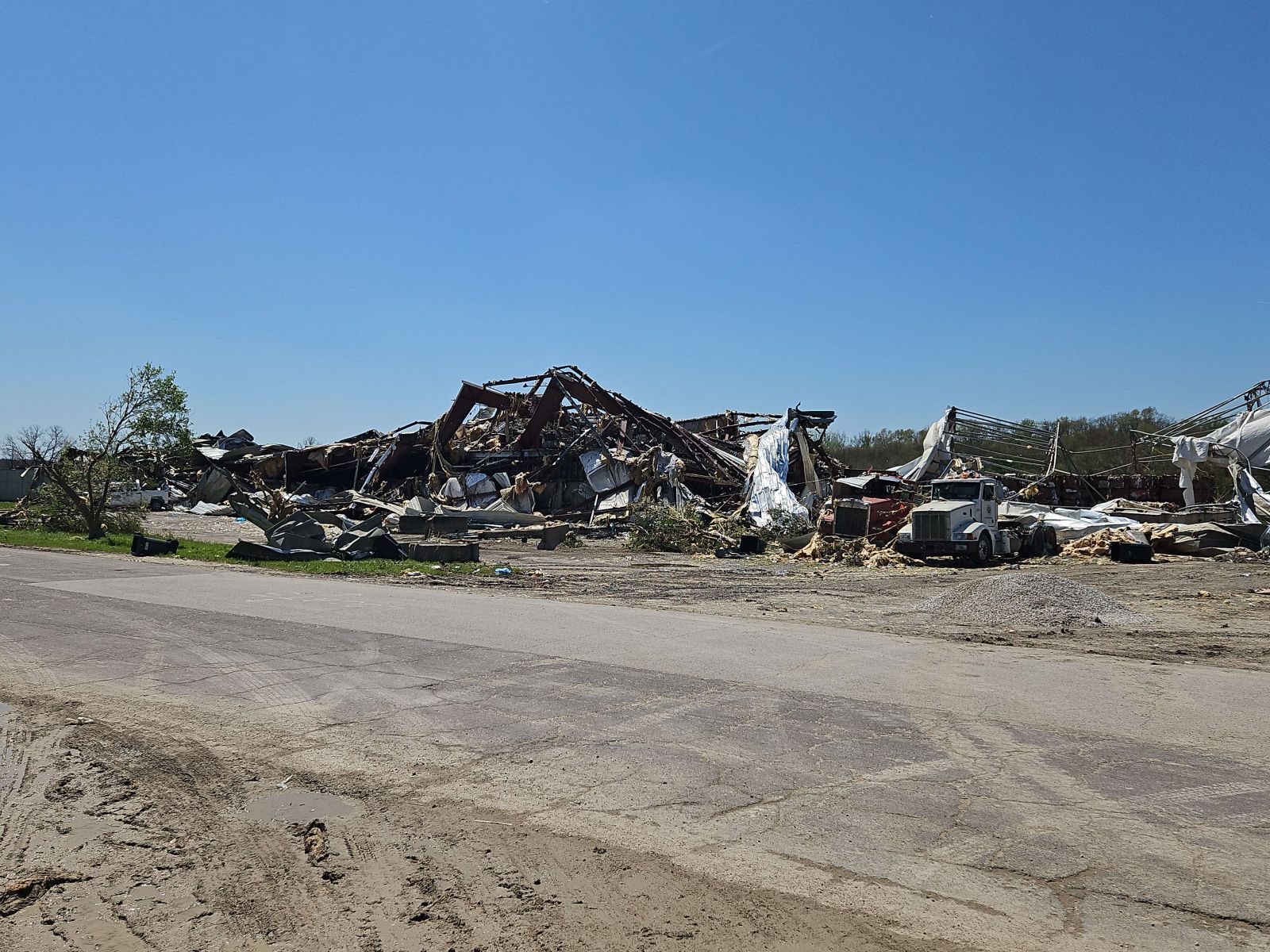
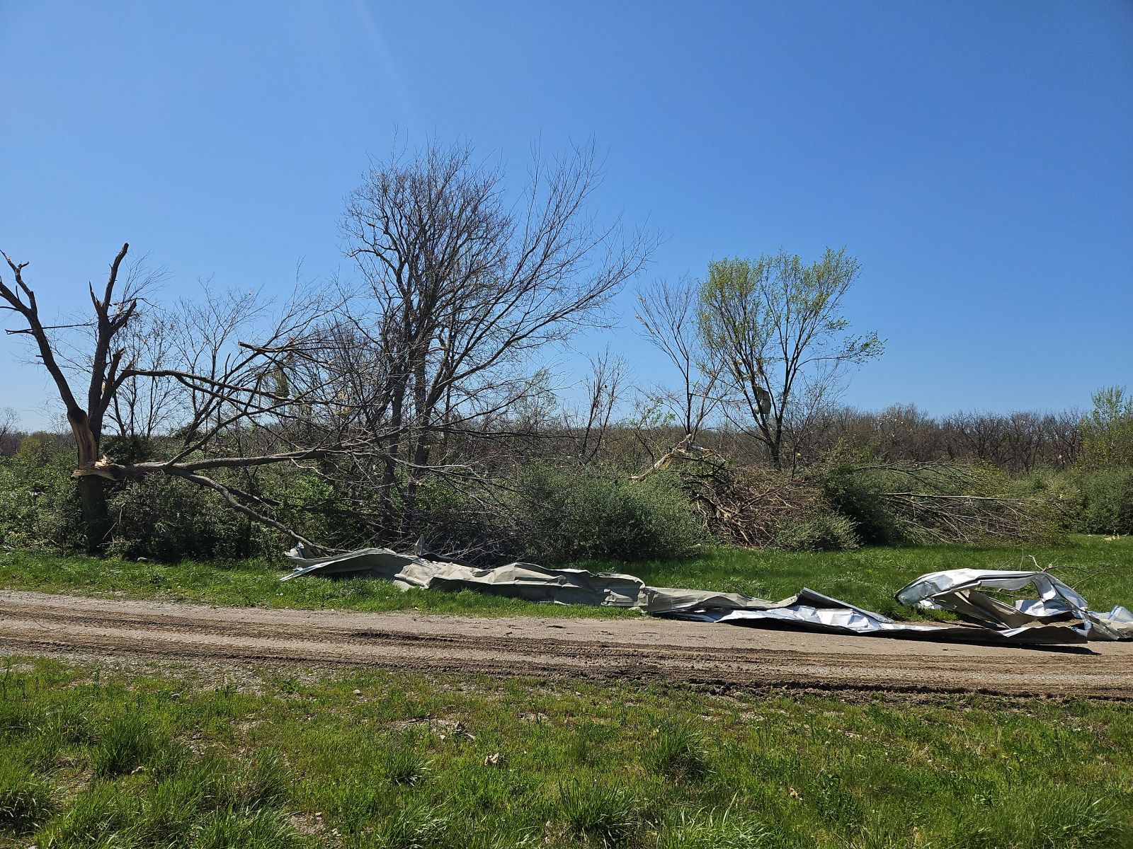
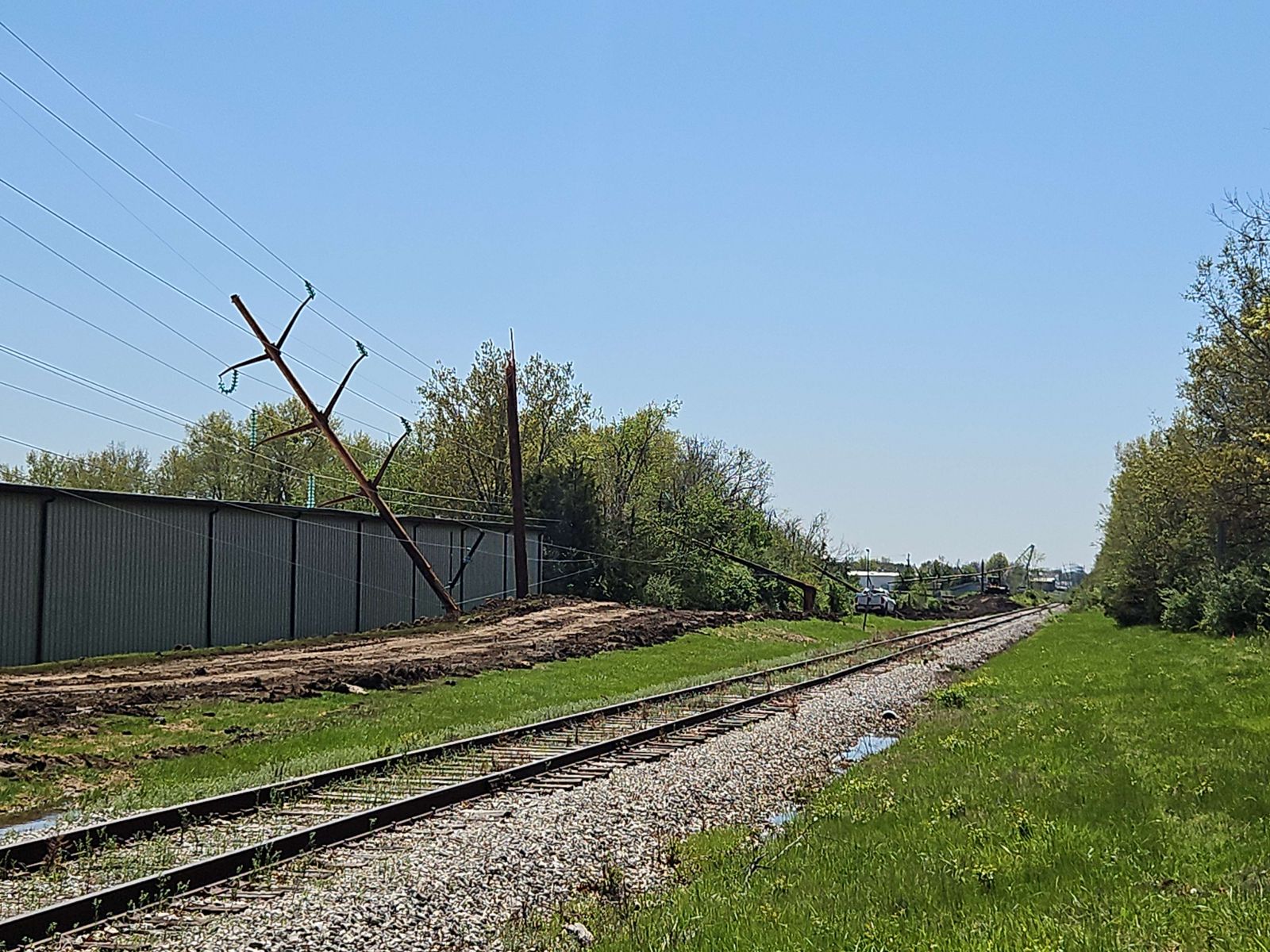
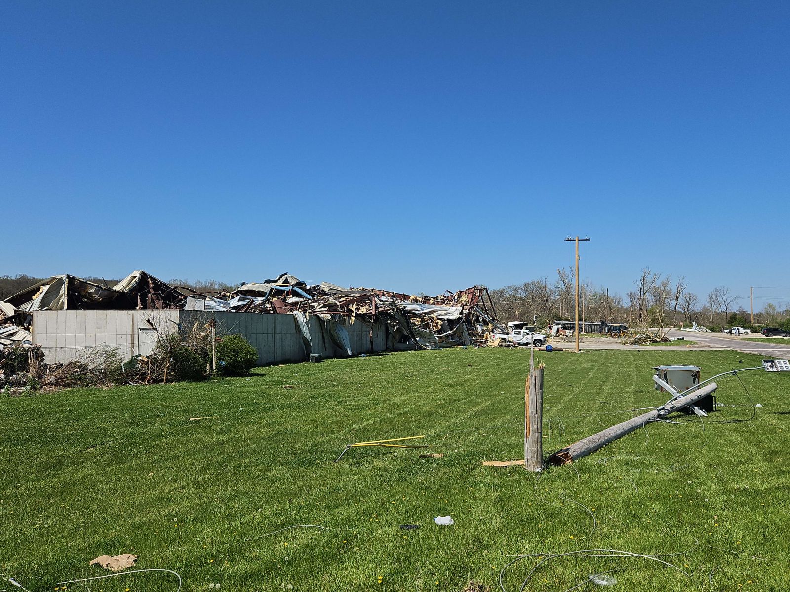
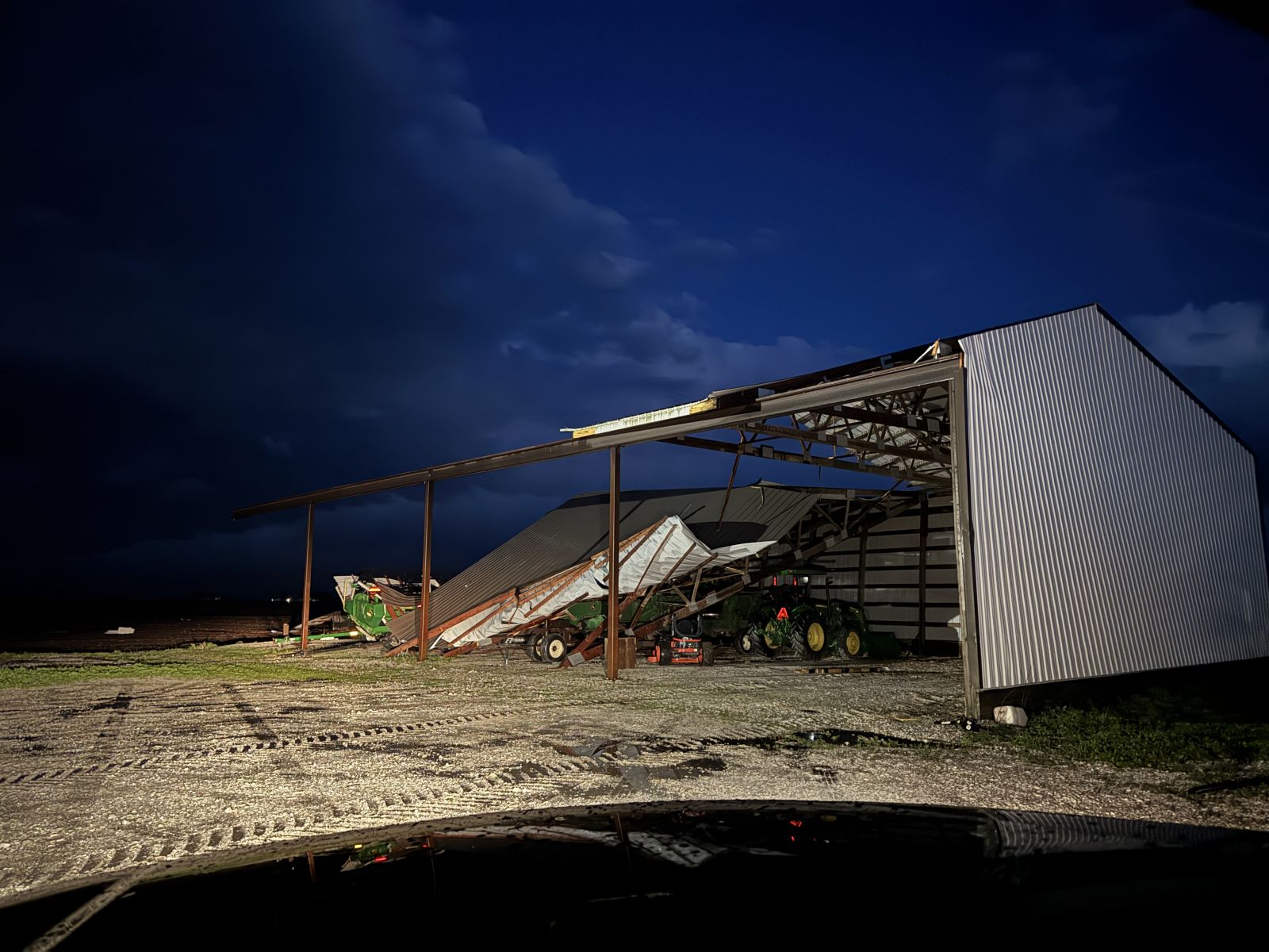
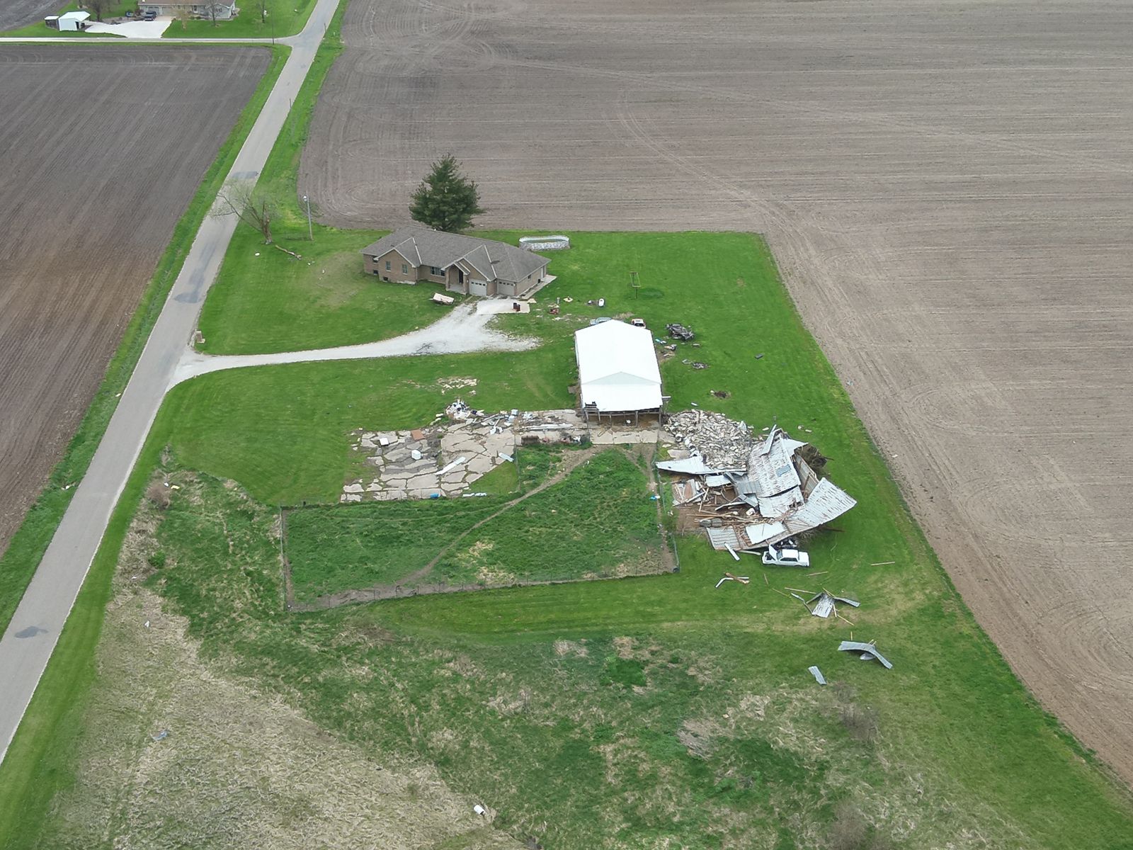
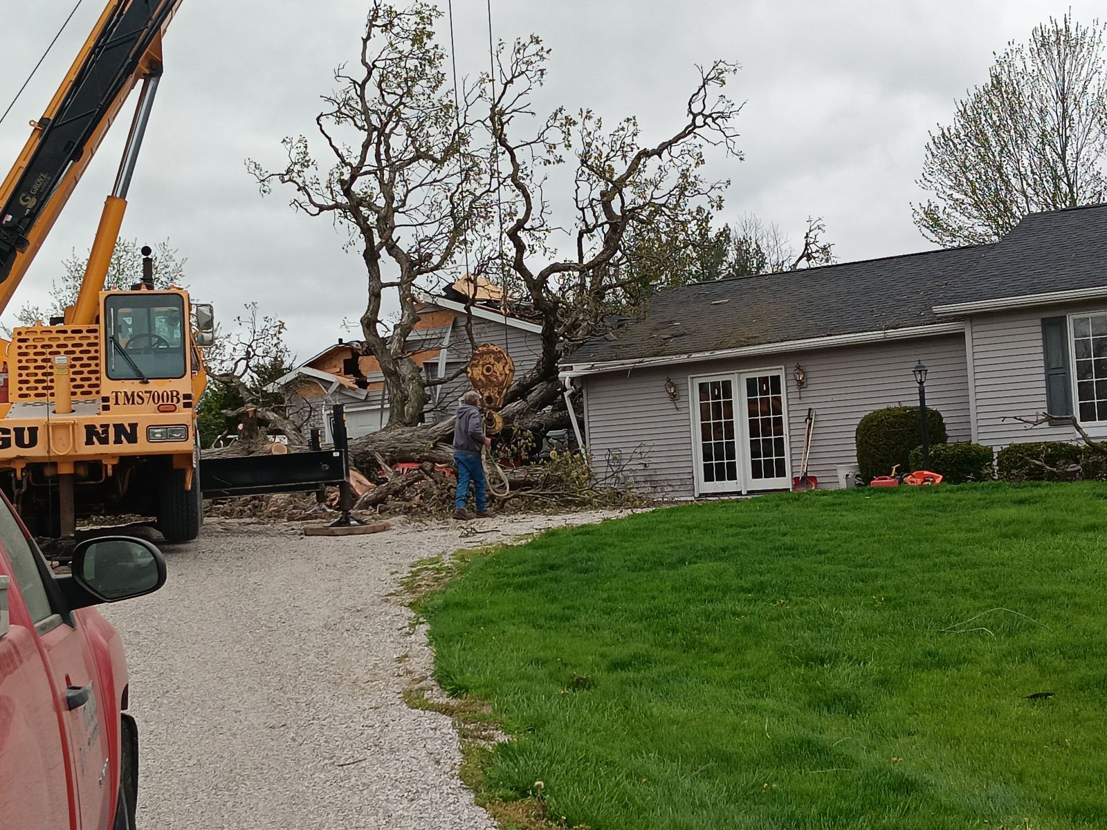
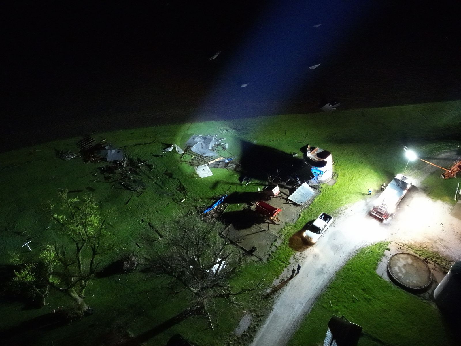
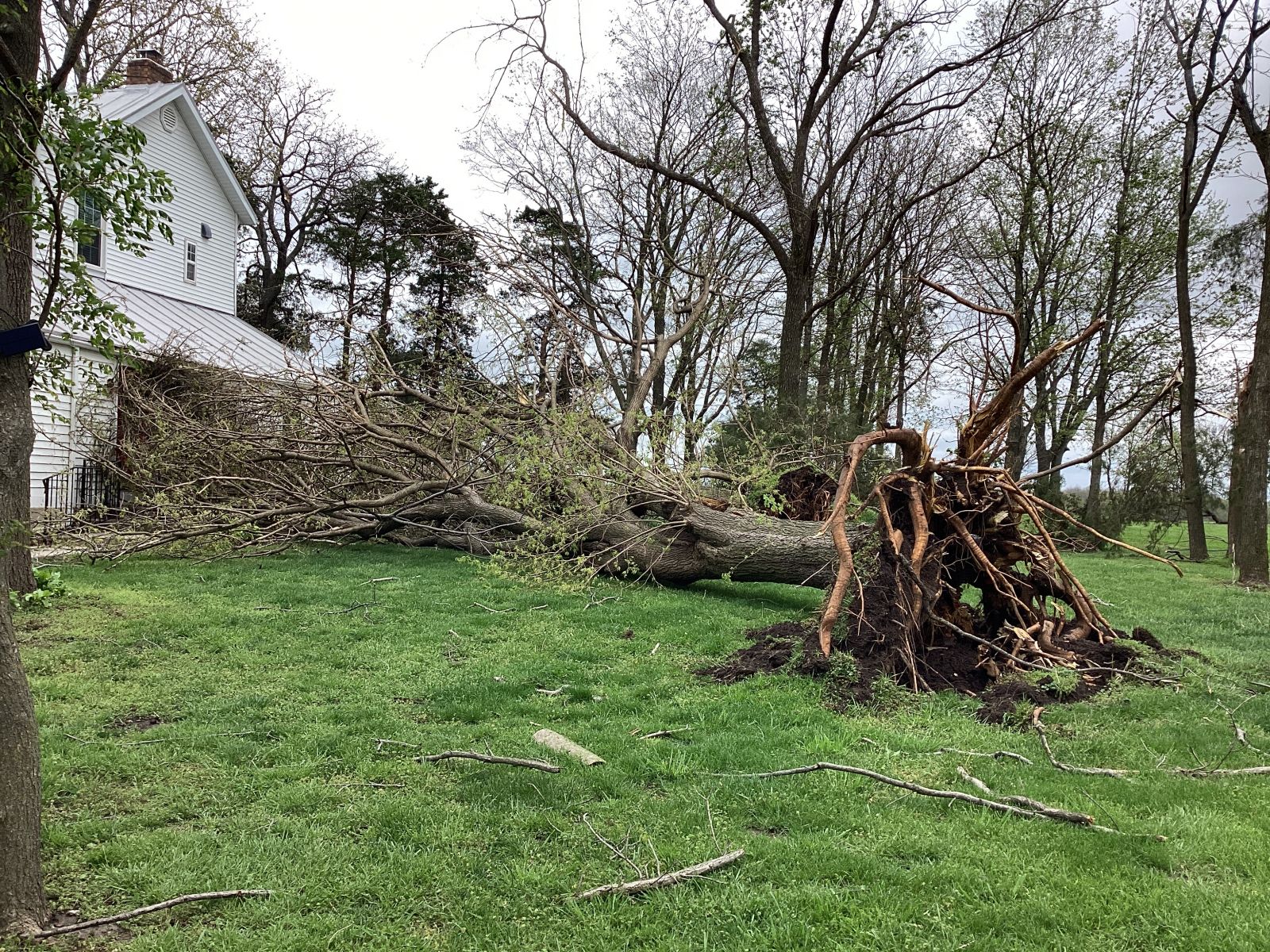
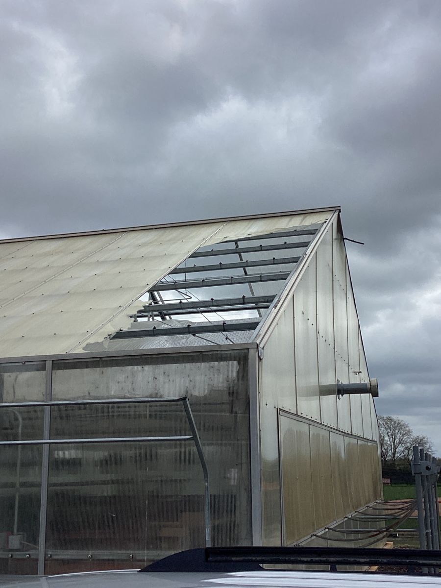
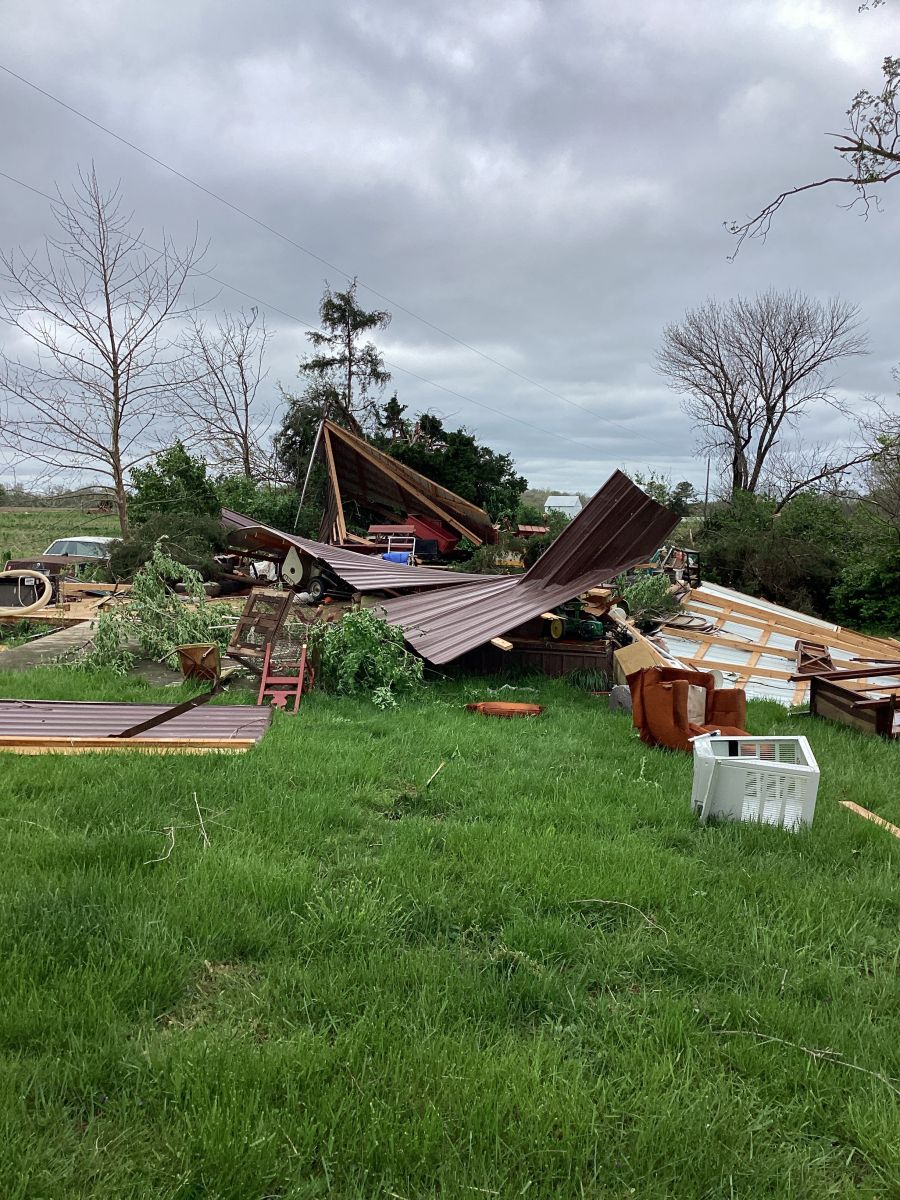
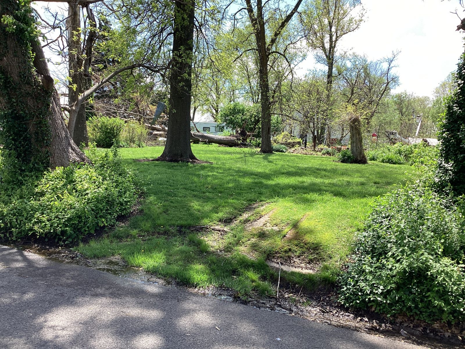
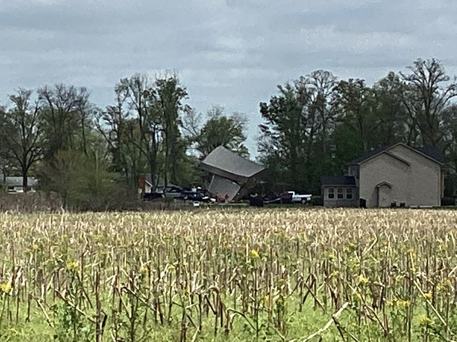
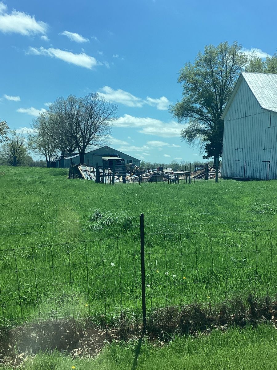
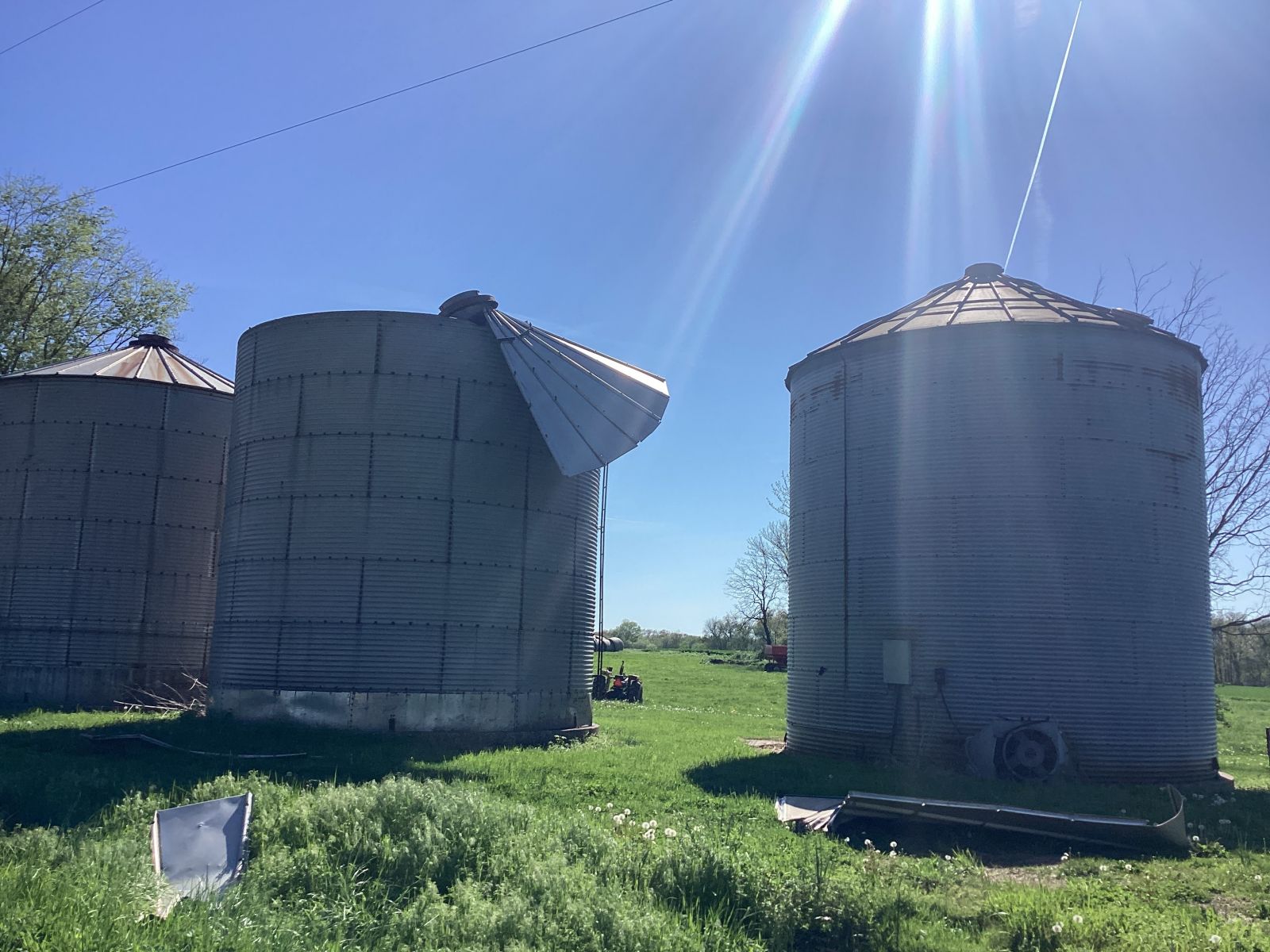
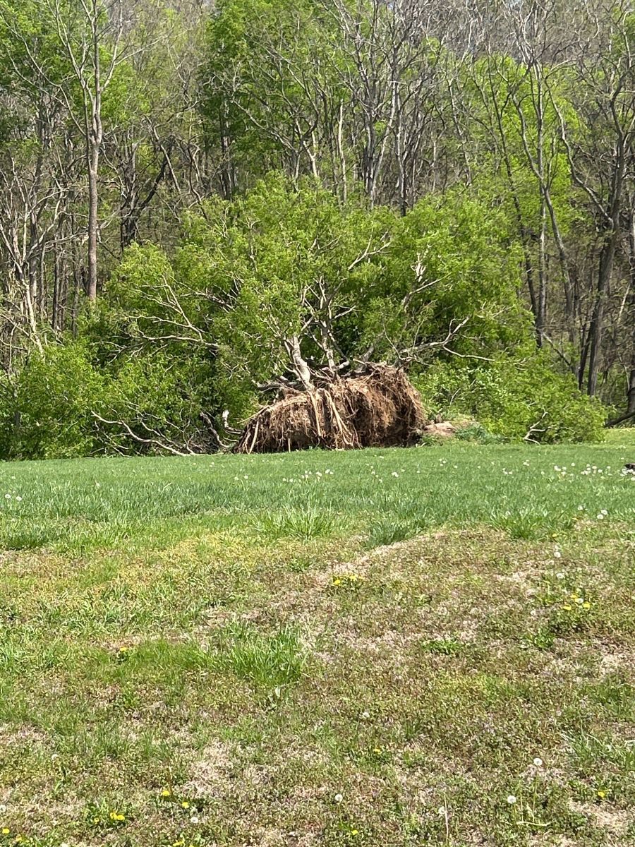
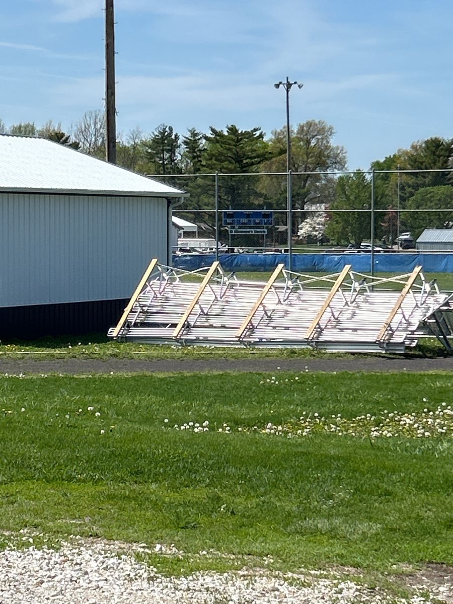
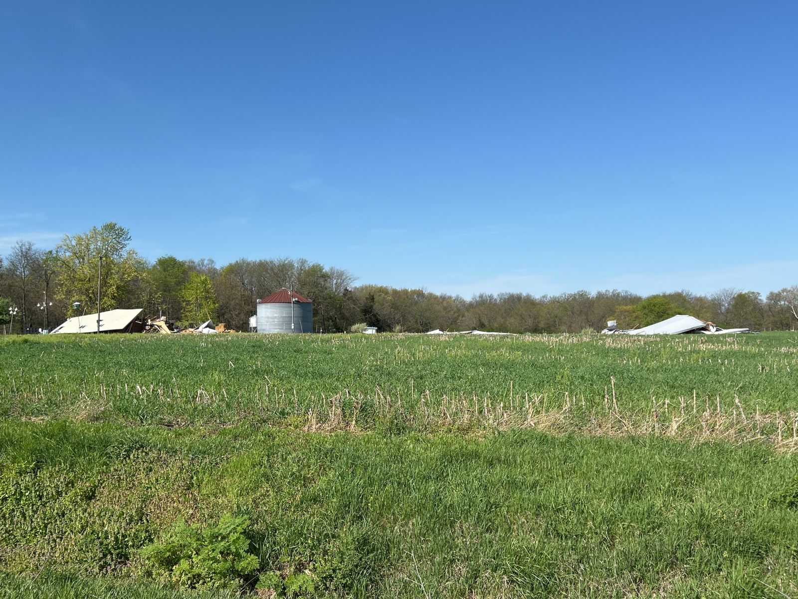
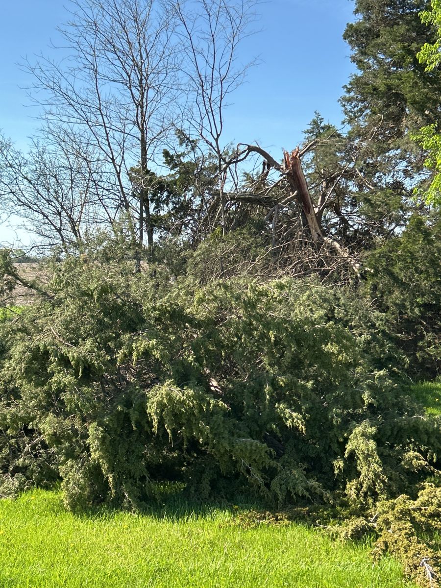
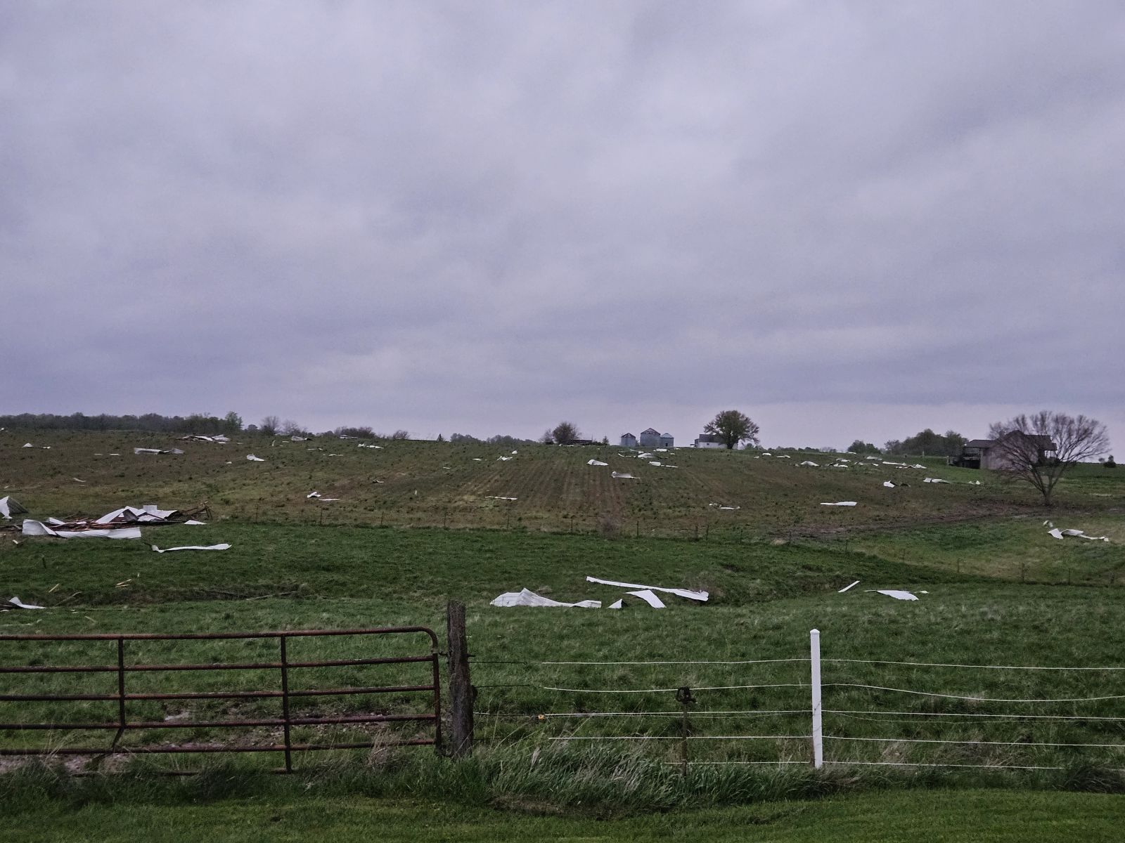
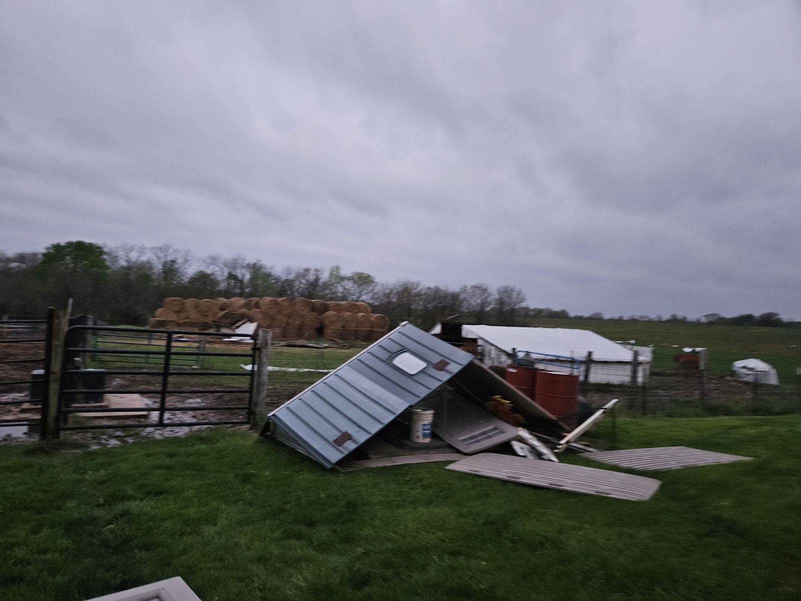
During the early afternoon on Sunday, April 20, 2025 (Easter Sunday) a severe thunderstorm developed in Miller County, Missouri and moved northward through Cole County and into Callaway County. The thunderstorm produced one EF-2 tornado near New Bloomfield, MO. This occurred ahead of a line of severe thunderstorms that formed in southwest Missouri and extended northward as it moved east. The line moved into mid-Missouri during the late afternoon hours and marched into eastern Missouri and southern Illinois. It produced numerous tornadoes and damaging wind reports across the region. Below is a summary of the severe weather that occurred that day, along with details on the ten tornadoes surveyed by NWS St. Louis. |
 |
Tornadoes:
|
Tornado - New Bloomfield, MO
Track Map 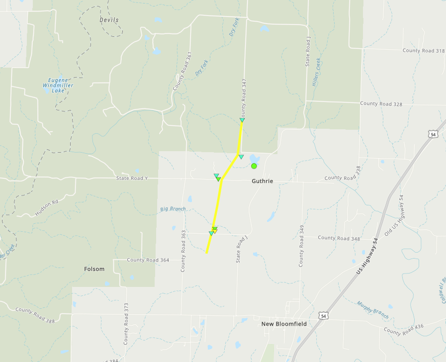 
|
||||||||||||||||||||||||
|
Tornado - Columbia, MO
Track Map 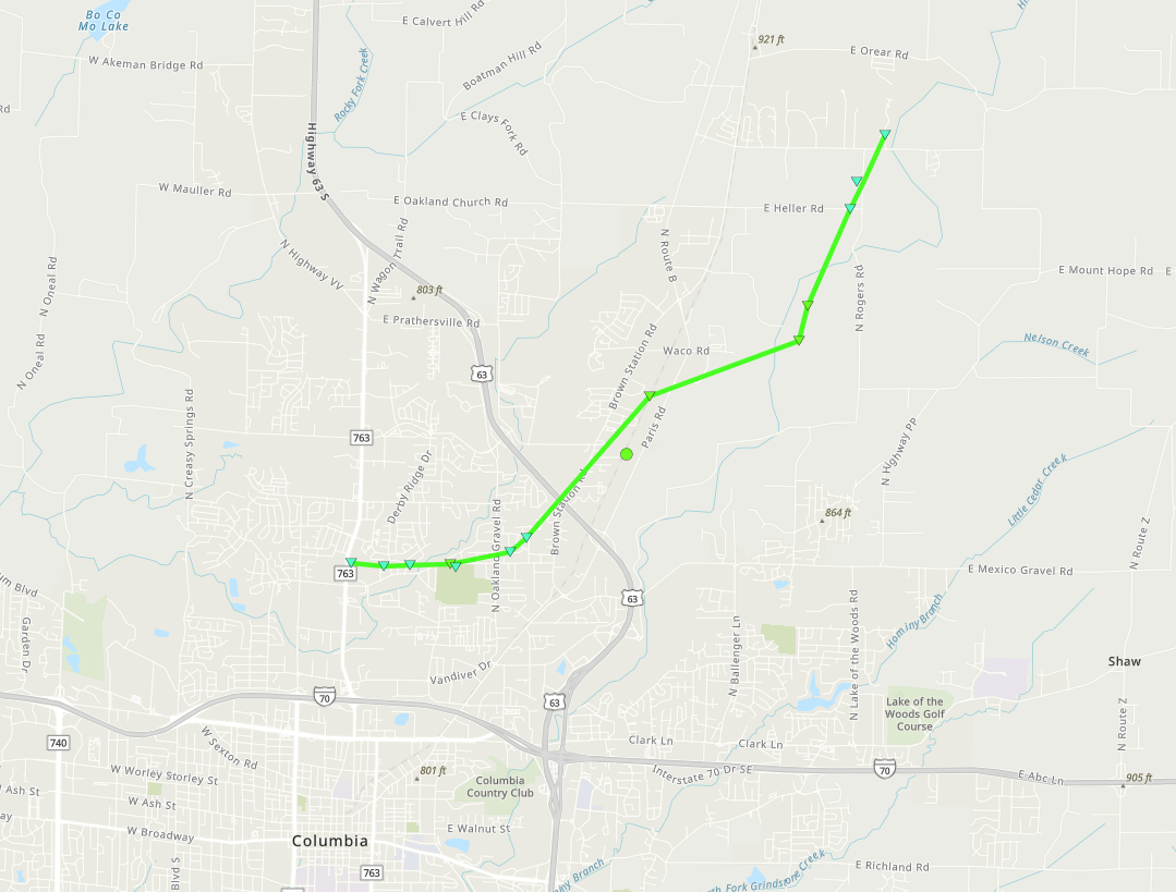
|
||||||||||||||||||||||||
|
Tornado - Camp Point, IL
Track Map 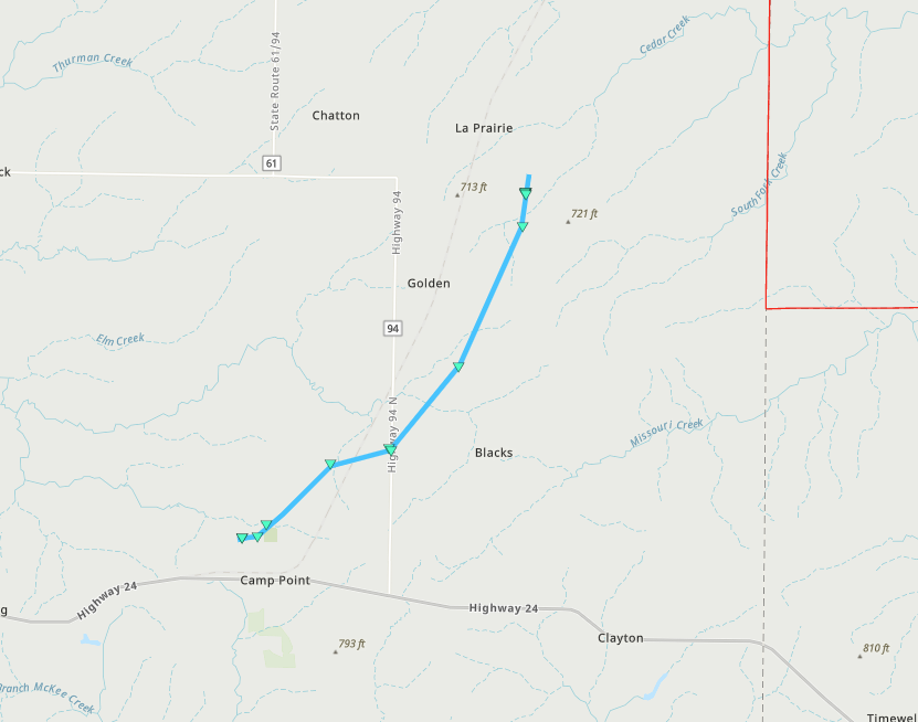
|
||||||||||||||||||||||||
|
Tornado - Waterloo, IL
Track Map 
|
||||||||||||||||||||||||
|
Tornado - Columbia, IL
Track Map 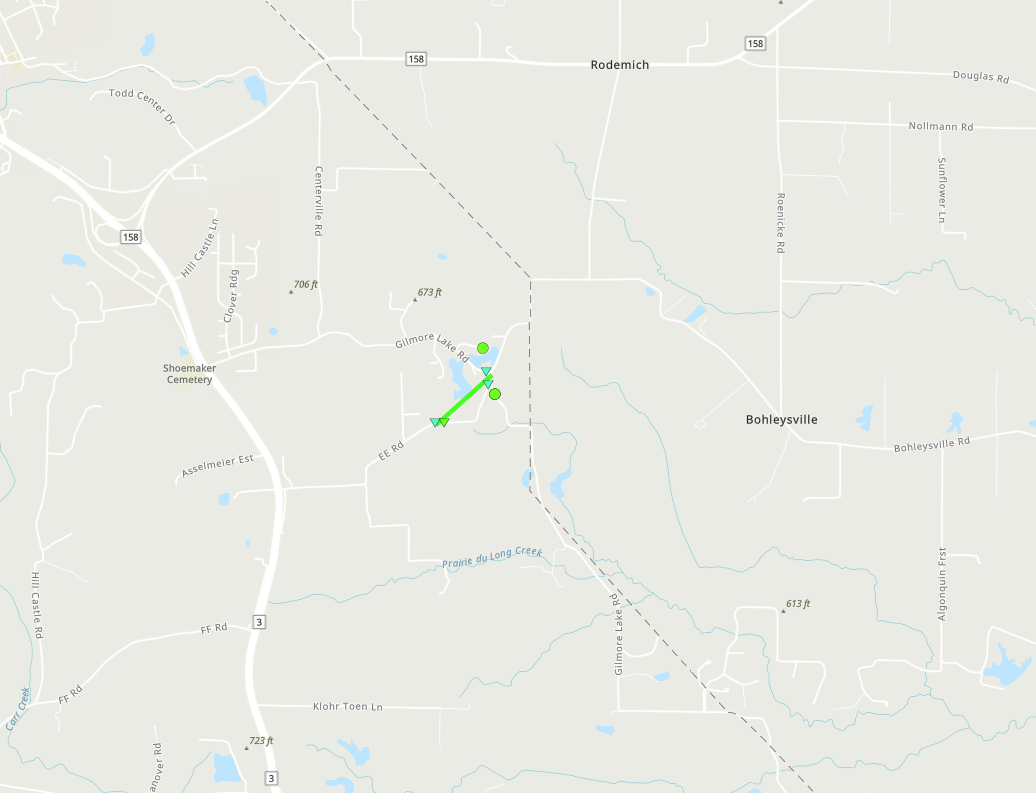
|
||||||||||||||||||||
|
Tornado - Millstadt, IL
Track Map 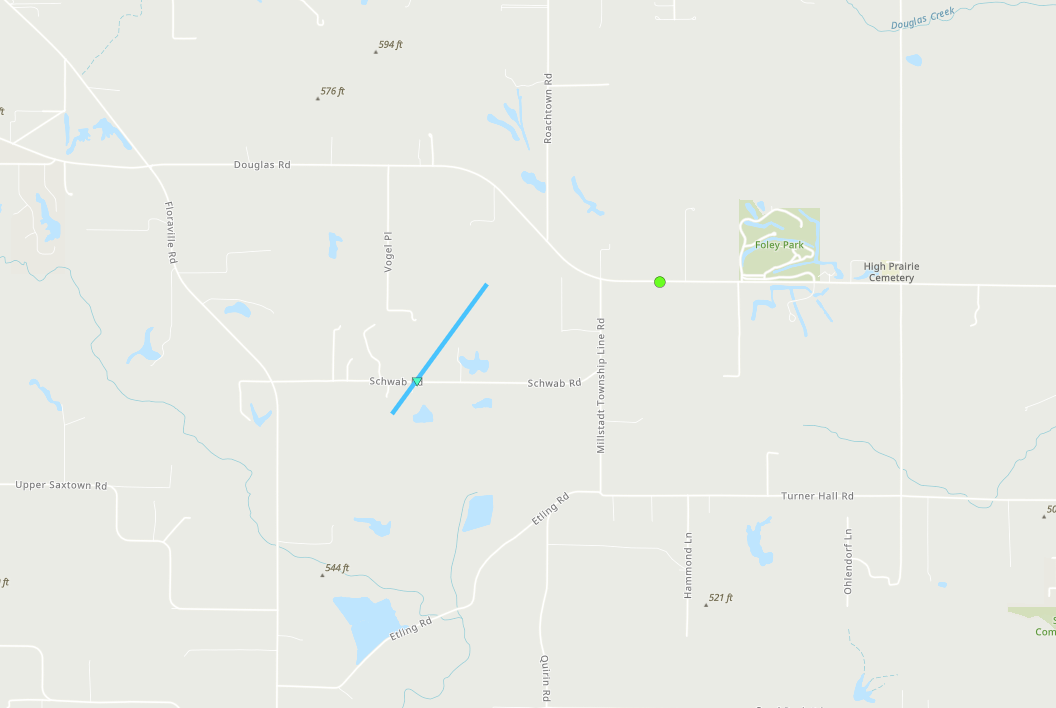
|
||||||||||||||||||||
|
Tornado - Baldwin, IL
Track Map 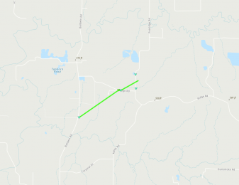
|
|||||||||||||||||||||
|
Tornado - Payson, IL
Track Map
|
||||||||||||||||||||
|
Tornado - Spencerburg, MO
Track Map 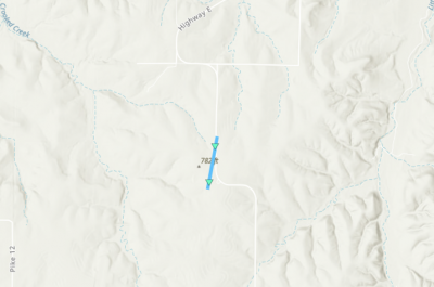
|
||||||||||||||||||||
|
Tornado - Mexico, MO
Track Map 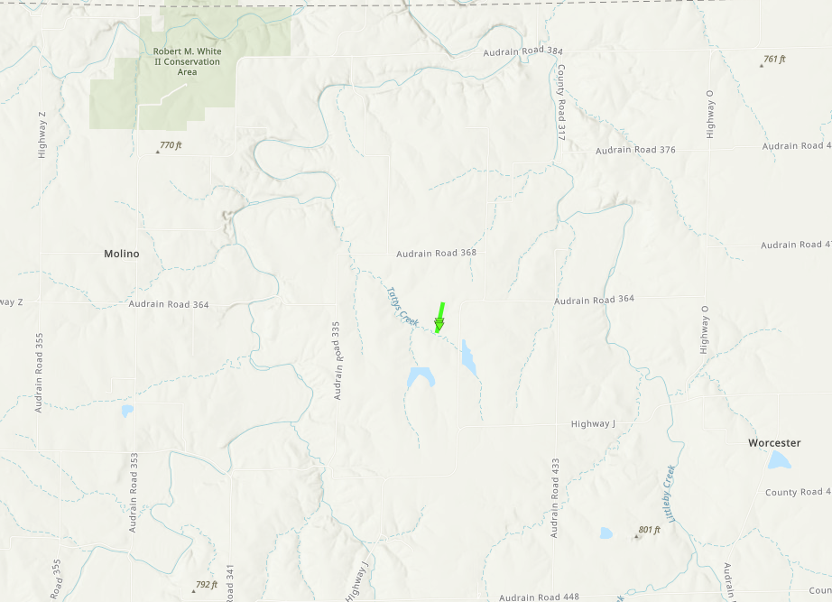
|
||||||||||||||||||||
The Enhanced Fujita (EF) Scale classifies tornadoes into the following categories:
| EF0 Weak 65-85 mph |
EF1 Moderate 86-110 mph |
EF2 Significant 111-135 mph |
EF3 Severe 136-165 mph |
EF4 Extreme 166-200 mph |
EF5 Catastrophic 200+ mph |
 |
|||||
Storm Reports
 |
Media use of NWS Web News Stories is encouraged! Please acknowledge the NWS as the source of any news information accessed from this site. |
|


.png/payson_track(1)__399x273.png)
 Weather Story
 Weather Map
 Local Radar