Overview
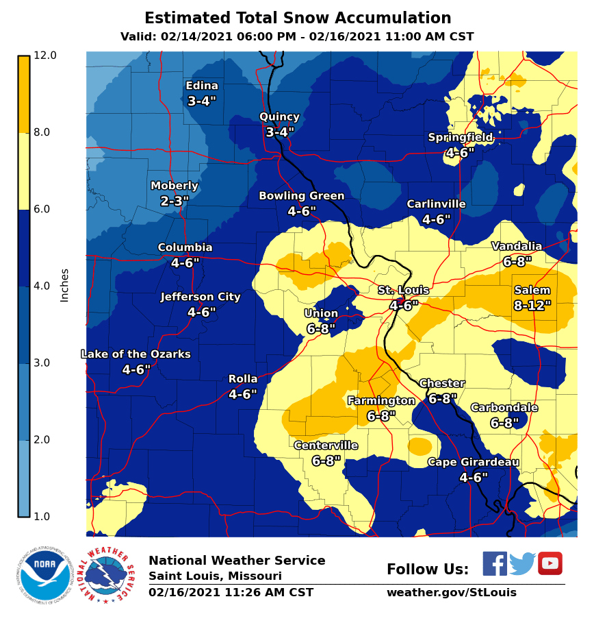
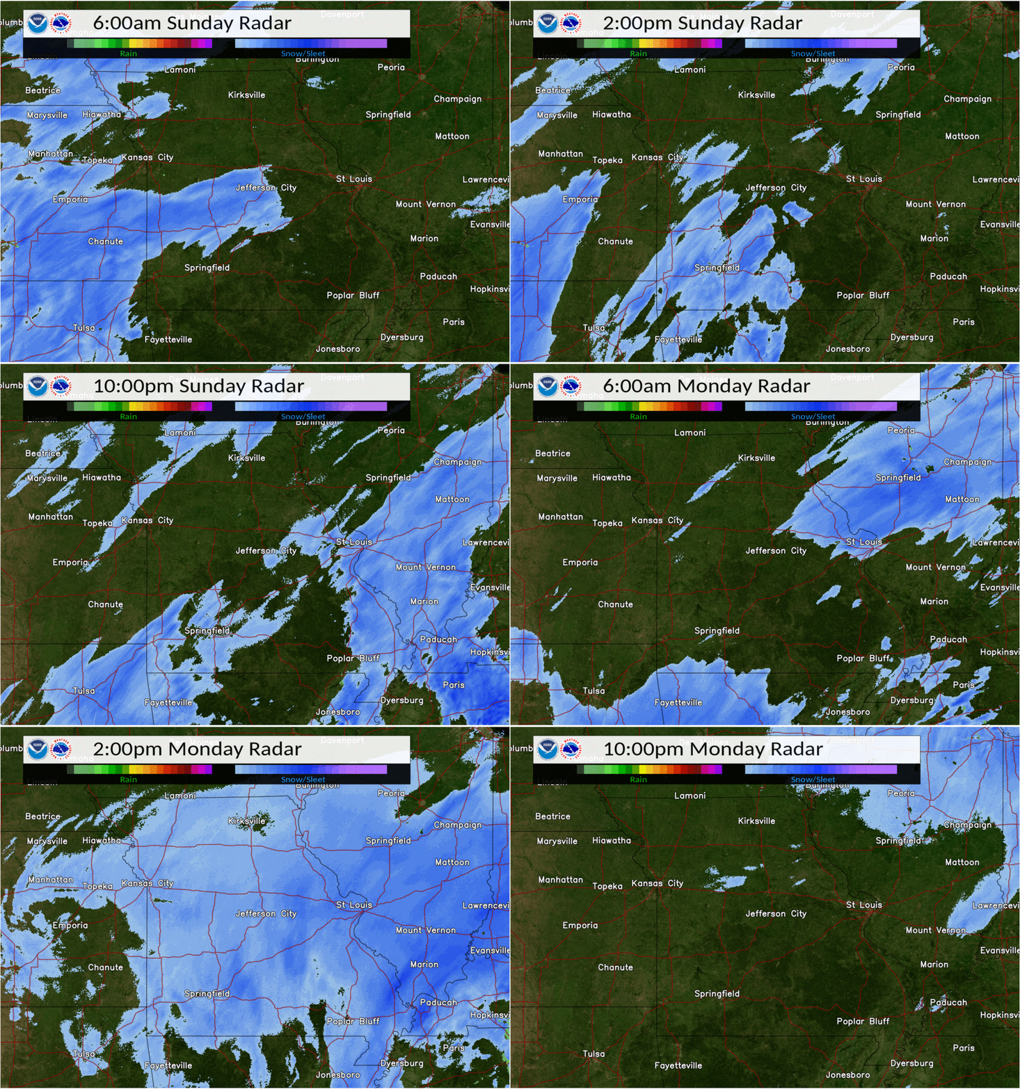
A prolonged period of well below normal and at times record temperatures and light snowfall events culminated in a classic winter storm on Presidents Day that brought up to 10-12 inches of snow to the county warning area. An anomalously cold Arctic air mass had engulfed the region for a week prior to this event, keeping temperatures below freezing. A renewed shot of Arctic air surged into the area over the weekend, and temperatures struggled to make it out of the single digits Sunday and Monday, with lows dropping below zero. Deep atmospheric lift provided by coupled upper-level jet streaks, an approaching mid-level trough, and mid-level frontogenesis took advantage of modest Gulf moisture moving north into the mid-Mississippi Valley to produce snow, heavy at times, Monday the 15th of February. The highest snowfall amounts occurred in east-central and southeast Missouri and southern Illinois where stout lift and the highest moisture resided.
Browse through pictures of the storm, snowfall totals, and a detailed meteorological explanation of the storm on our new ArcGIS Story Map summarizing the event!
Snow
 |
 |
|
| Official Snowfall Totals | Multi-Radar/Multi-Sensor Reflectivity, depicting snow fall and intensity. |
Photos
 |
 |
 |
 |
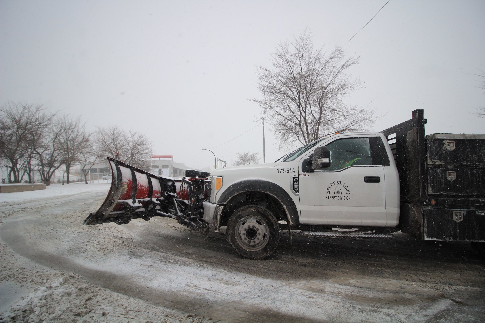
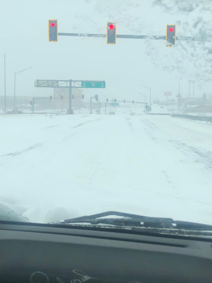
| City of Saint Louis Street Division clearing roads during the afternoon on Monday, 2/15, when heavy snow was falling across the area. Photo courtesy of @LydaKrewson. | Heavy snow fell onto roads that were well below freezing, making travel difficult, even on well treated roads. Photo courtesy of Heather RaNay. |
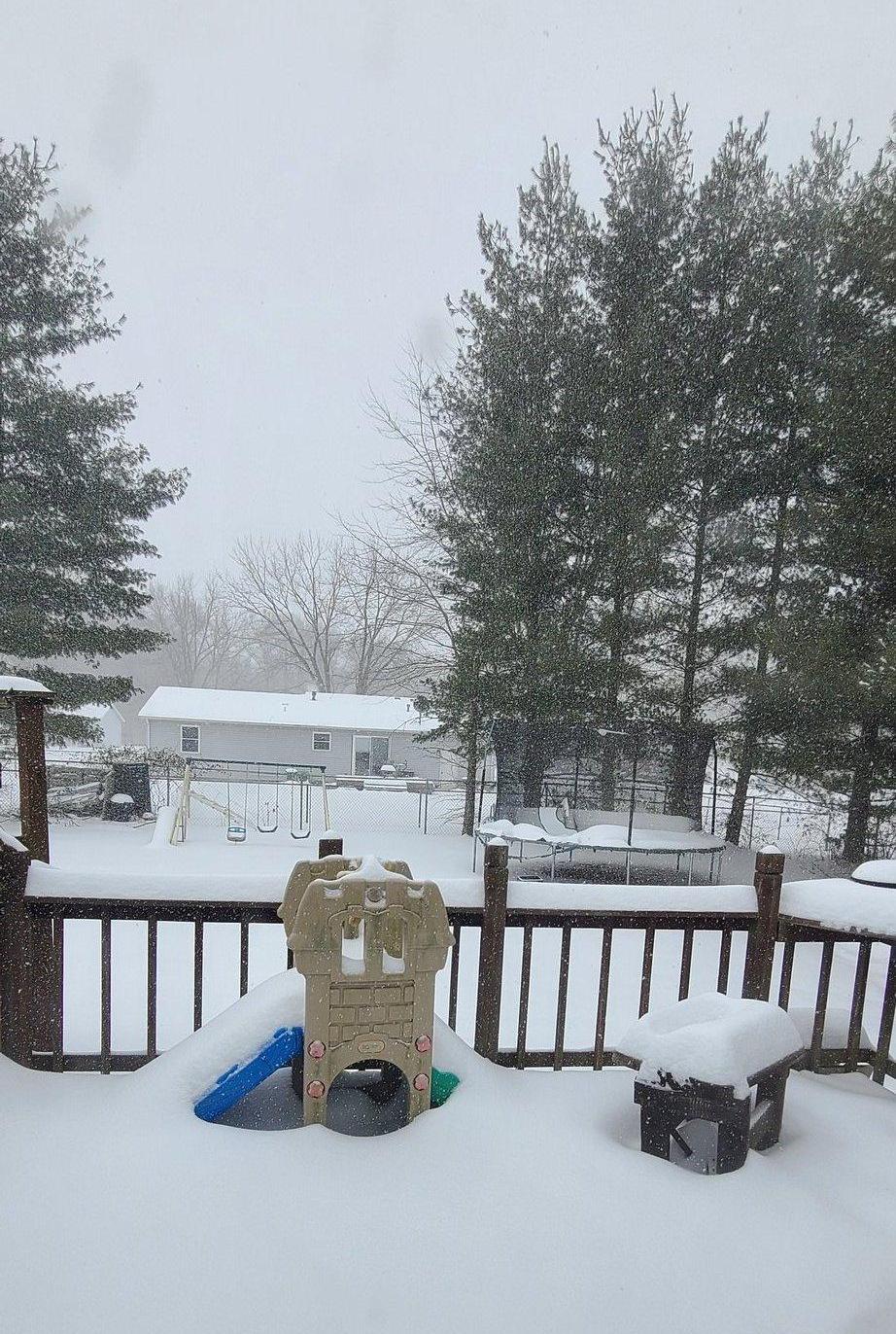
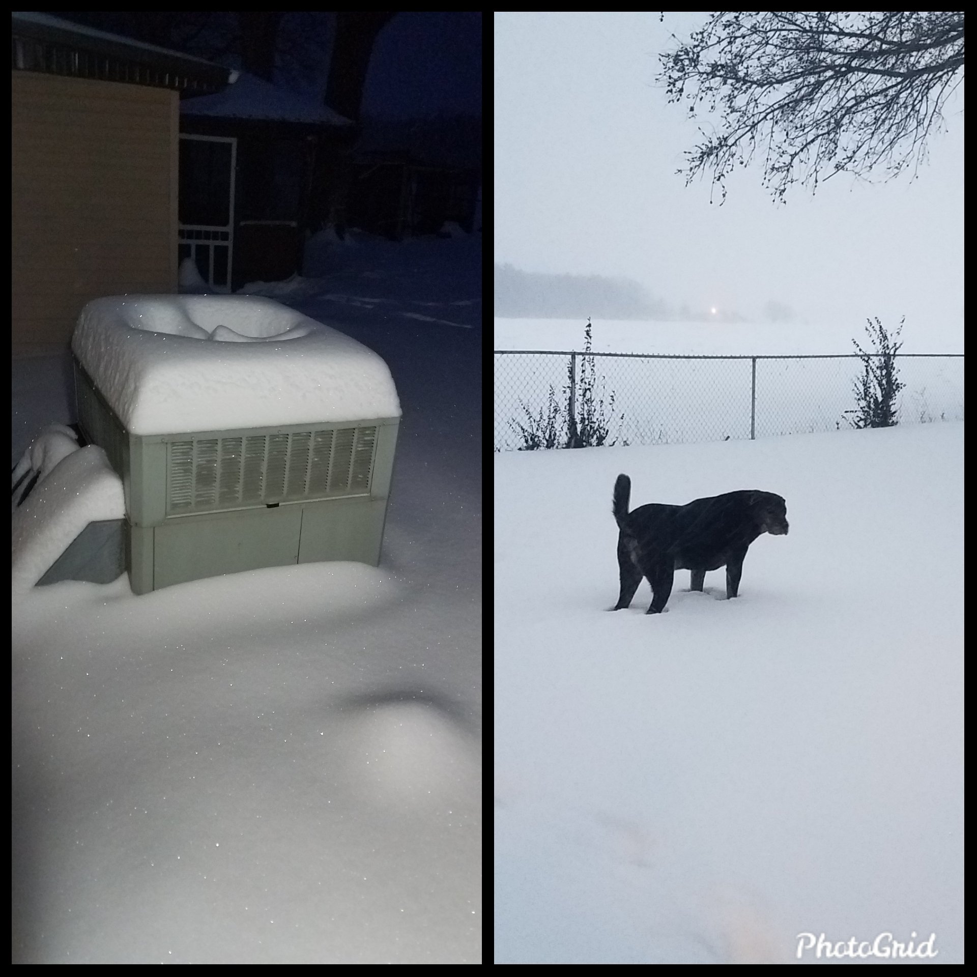
Snow piled up quickly thanks to very cold surface temperatures and heavy snowfall rates. Photo courtesy of @so_il_weather. | Pet owners were encouraged to limit outside time for their animals due to the extremely cold temperatures. Photo courtesy of @zummy87. |
 |
 |
 |
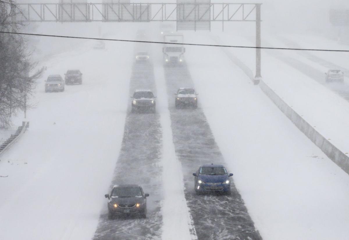 |
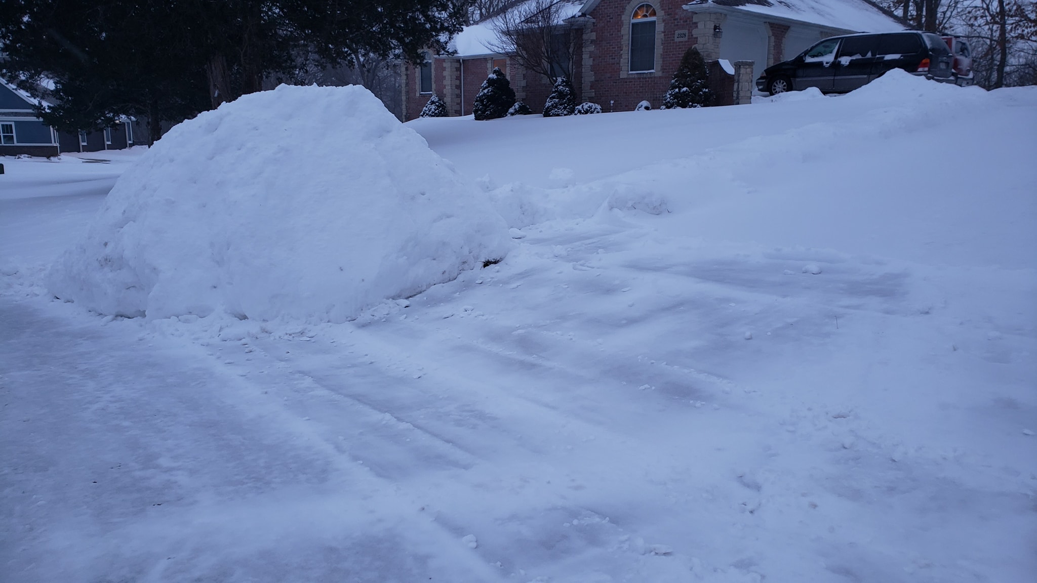
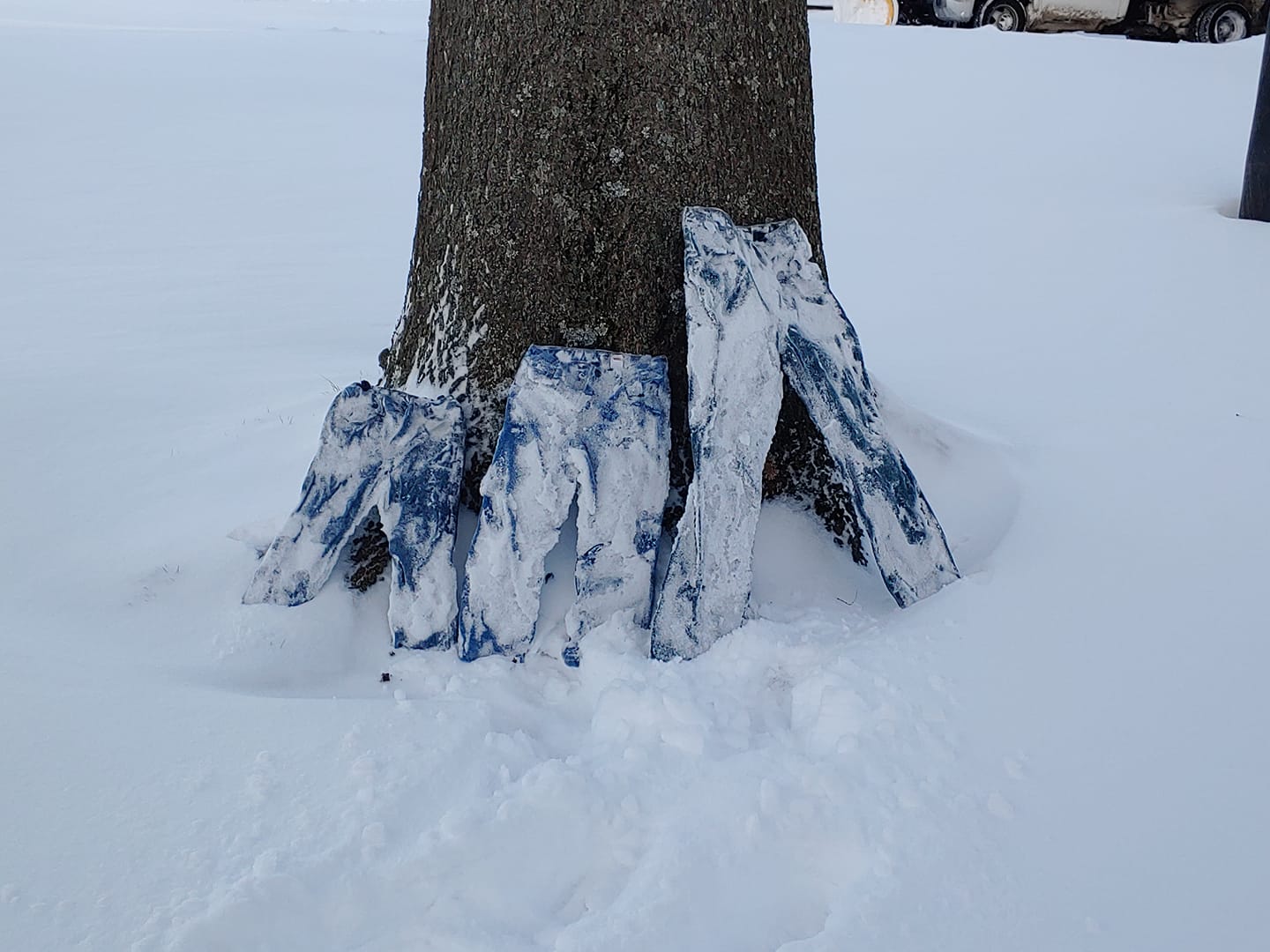
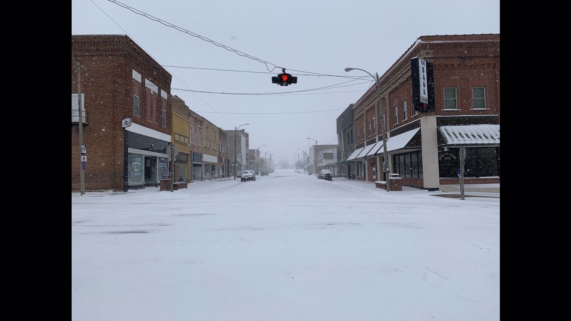
| While a majority of residents were able to stay home due to the holiday, people started to prepare to leave for work on Tuesday morning by plowing and shoveling snow. Photo courtesy of Tyler Schanuth. | Citizen scientists were able to take advantage of the extreme cold to carry out experiments. This family was able to freeze their pants outside so that they stood up on their own. Photo courtesy of Cari Hamner. | Salem, IL received 8-12 inches of snow from this event. Photo courtesy of Shawn Bolerjack. | Poor road conditions continued into Tuesday as heavy snow fell all day Monday and required continuous plowing. Photo courtesy of Colter Peterson and the St. Louis Post Dispatch. |
 |
 |
 |
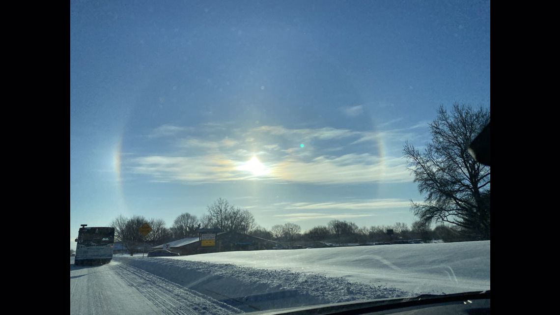 |
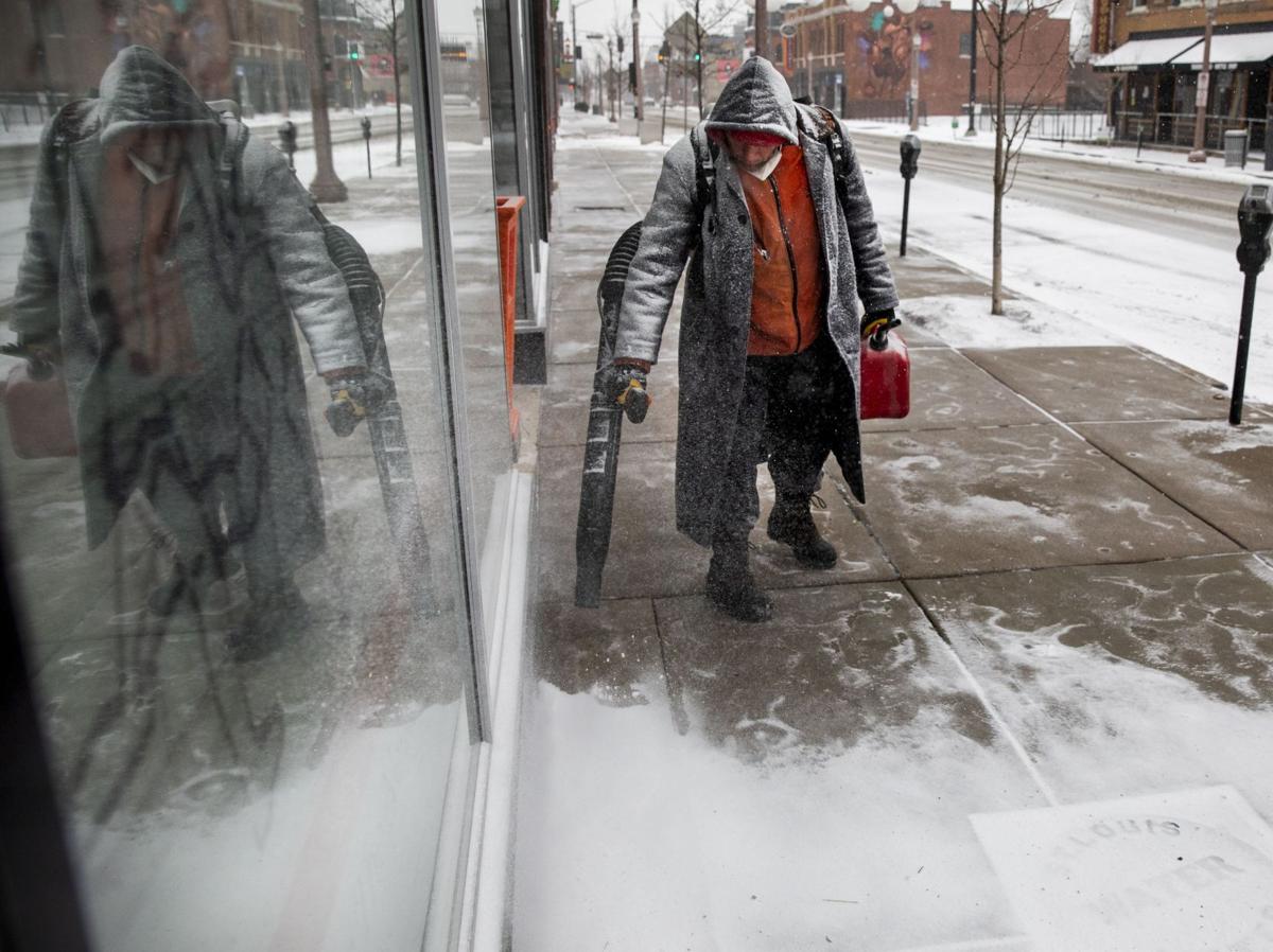
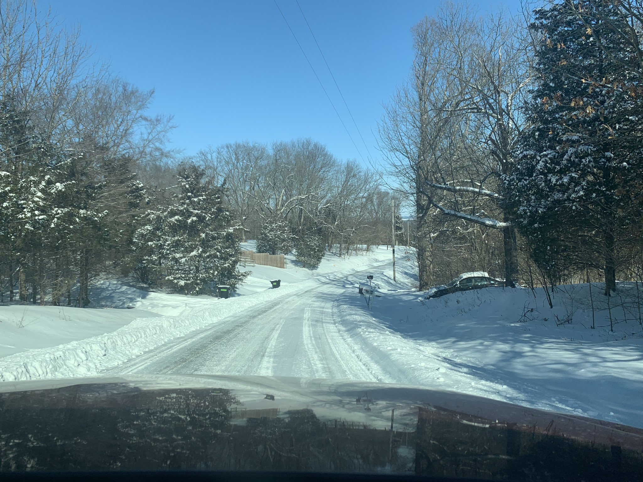
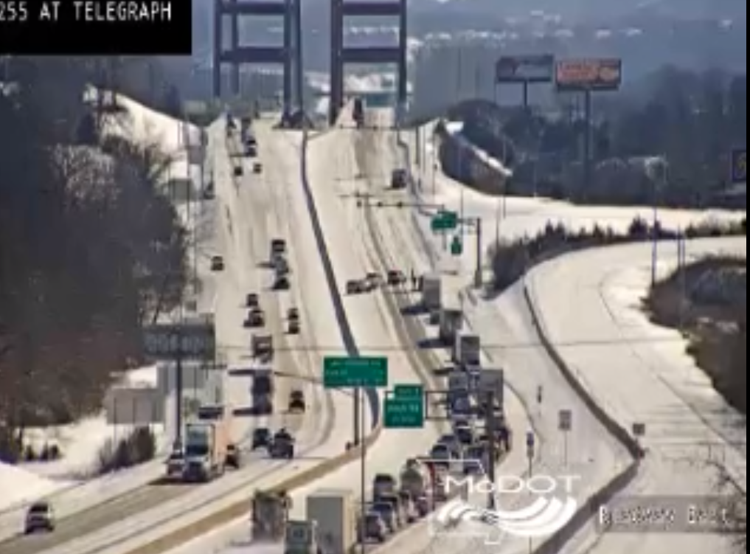
| Snow falling through very cold air meant that the snow stayed frozen and was able to be cleared by leaf blowers. Photo courtesy of Colter Peterson and the St. Louis Post Dispatch. | Sunny conditions on Tuesday helped crews and citizens alike to start to dig themselves out. Photo courtesy of @punkymurphy. | Crews continues to work hard to remove snow from roads, which unfortunately caused numerous accidents across the region. Jefferson Barracks Bridge (pictured) was closed Tuesday morning to allow for clean up. Photo courtesy of Missouri Department of Transportation and KMOV. | A high concentration of small ice crystal in the air produced a "sun dog" in Edwardsville, IL on Tuesday morning. Photo courtesy of Debbie Mars. |
 |
Media use of NWS Web News Stories is encouraged! Please acknowledge the NWS as the source of any news information accessed from this site. |
|



 Weather Story
 Weather Map
 Local Radar
 Follow us on X
 Follow us on Facebook
 Follow us on YouTube
 LSX RSS Feed