
Two Pacific storms will impact the western U.S. this week with low elevation rain, mountain snow, and gusty winds. The second storm arriving Tuesday night into Wednesday may bring heavy to excessive rainfall and possible flooding for coastal central and southern California, while heavy mountain snow is possible across the Sierra Nevada mountains. Read More >
Overview
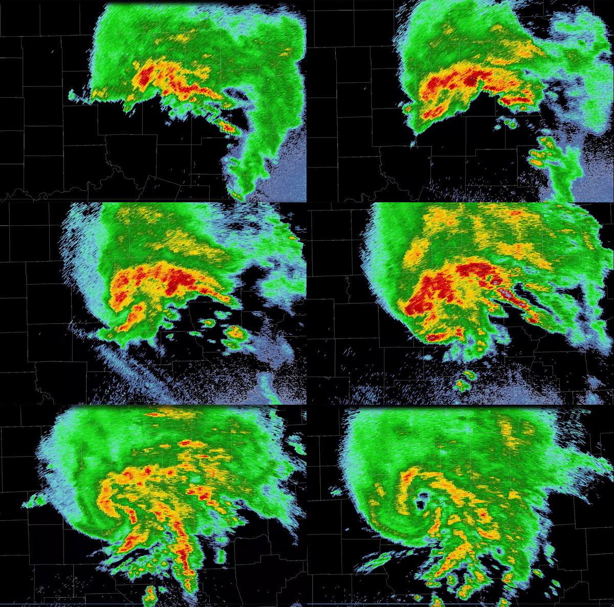
| During the evening of August 4th and early on August 5th, 2023, a mesoscale convective vortex (MCV) tracked east across northern Missouri and west-central Illinois, leading to several strong thunderstorms and heavy rainfall. Two of these thunderstorms briefly intensified and produced tornadoes in the northern Knox County town of Baring, MO (EF-2) and in the northern Adams County community of Marcelline, IL (EF-1). The EF-2 tornado in Baring was only the fifth ever of such strength in the month of August within the St. Louis County Warning Area. |
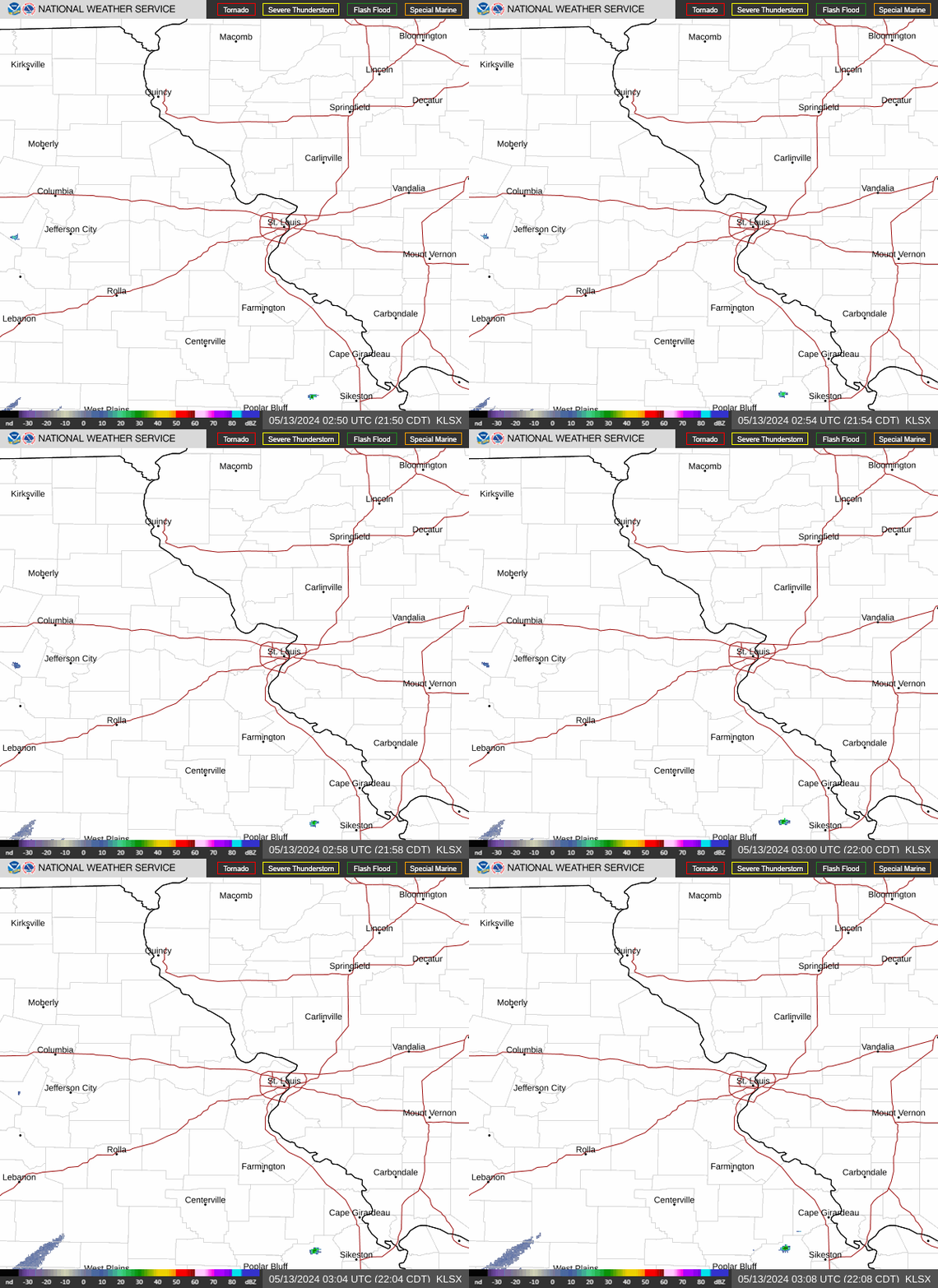
Radar loop of an MCV moving across northern Missouri and west-central Illinois on August 4th/5th, 2023. Two of the thunderstorms embedded in the MCV caused the Baring and Marcelline tornadoes. |
Tornadoes:
|
Tornado - Baring, MO
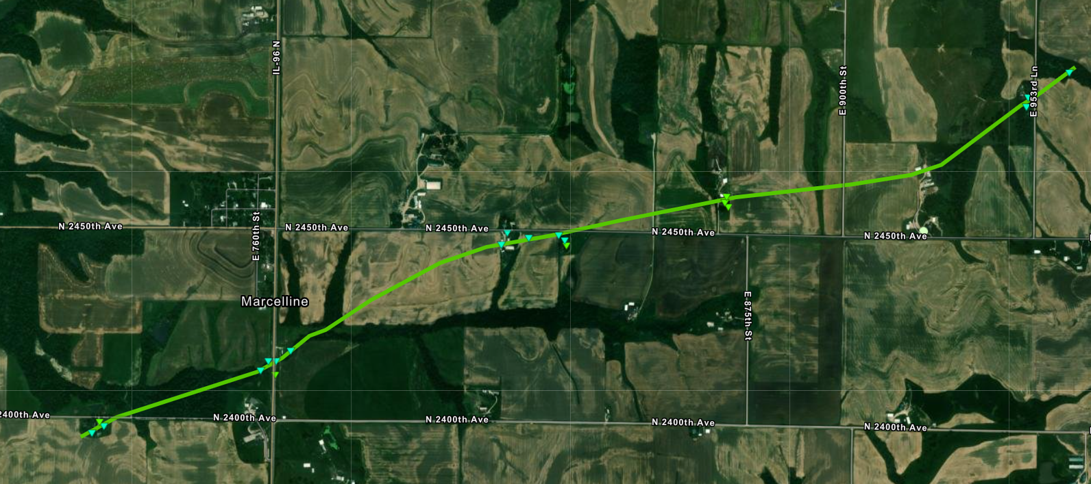
Track Map 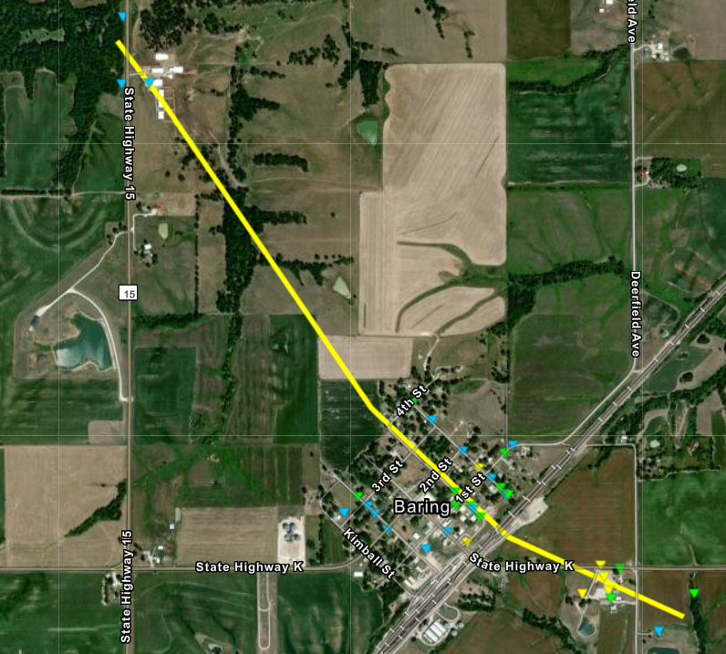 
Tornado - Marcelline, IL
|
||||||||||||||||||||||||||||||||
The Enhanced Fujita (EF) Scale classifies tornadoes into the following categories:
| EF0 Weak 65-85 mph |
EF1 Moderate 86-110 mph |
EF2 Significant 111-135 mph |
EF3 Severe 136-165 mph |
EF4 Extreme 166-200 mph |
EF5 Catastrophic 200+ mph |
 |
|||||
Photos & Video
 |
 |
 |
 |
|
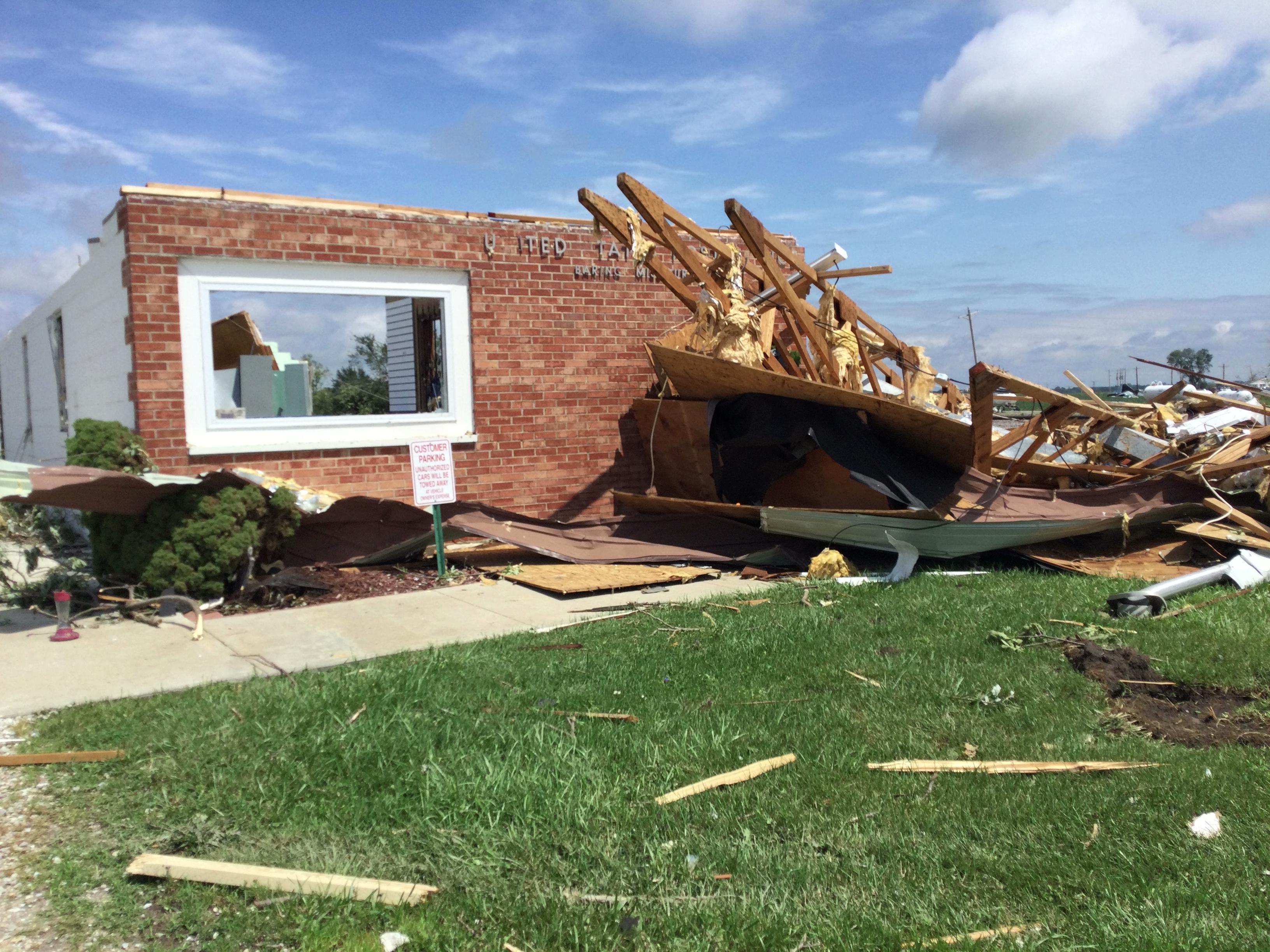
U.S. Post Office Baring, MO |
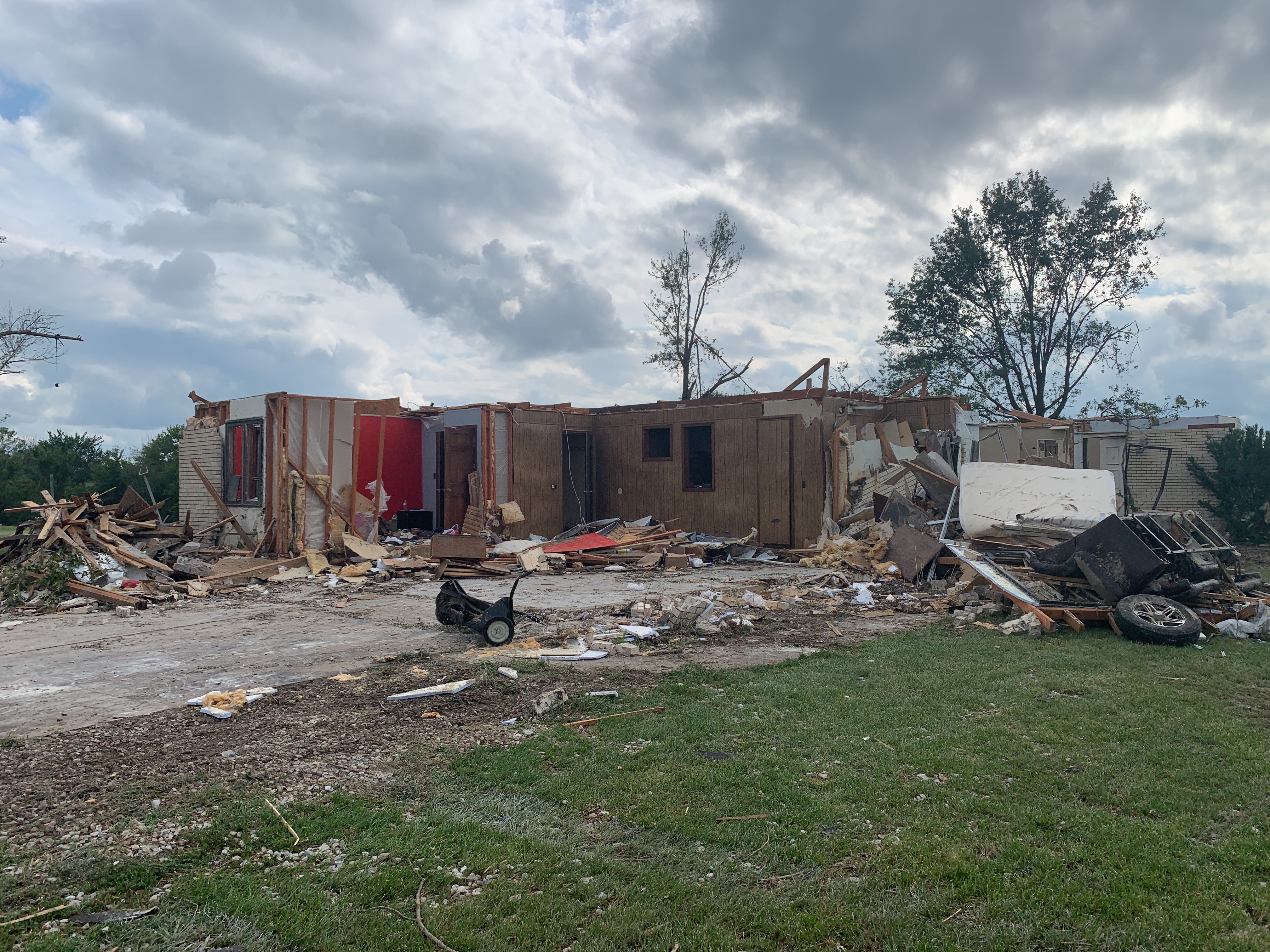
Home Damage Baring, MO |
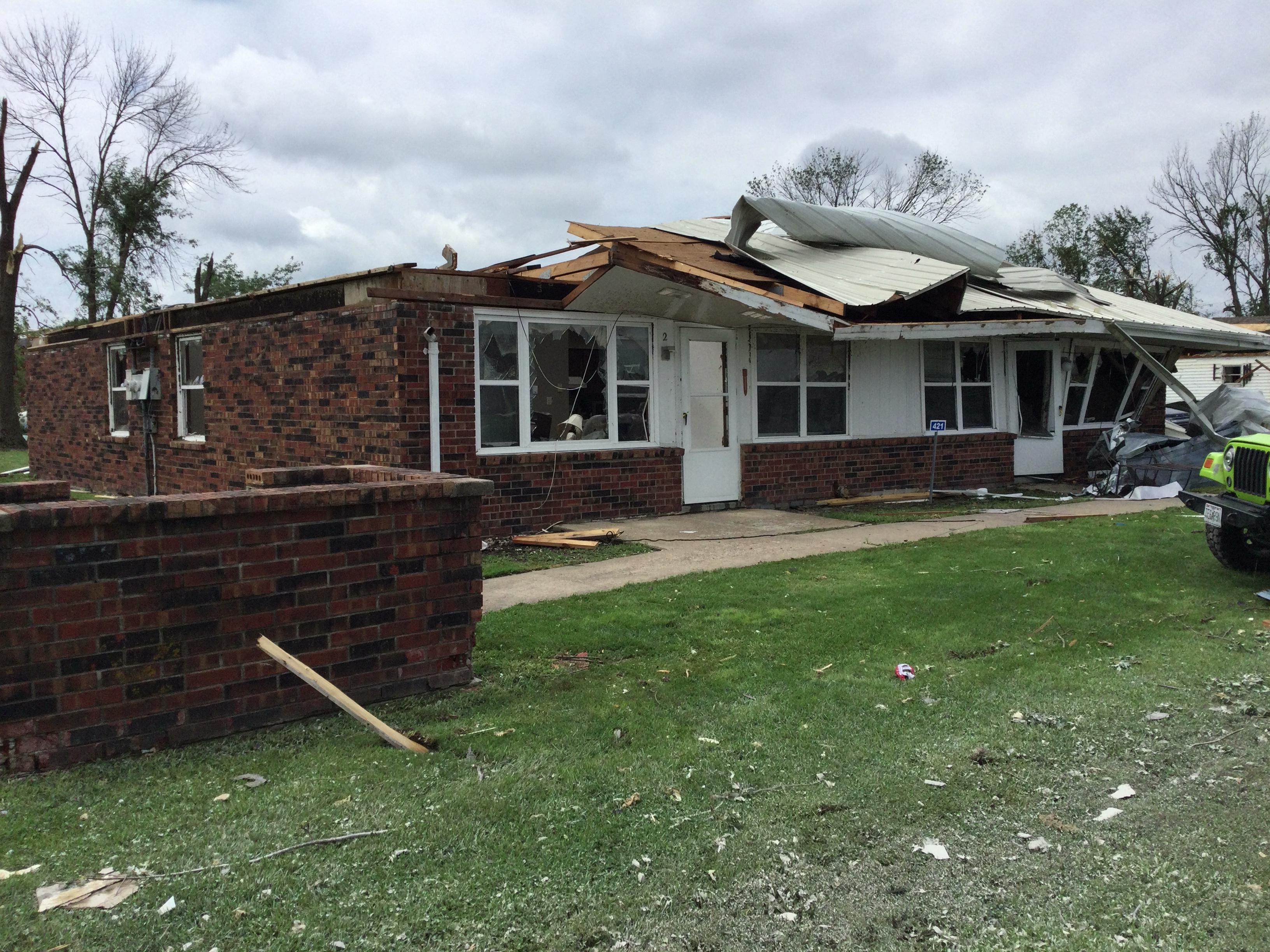
Home Damage Baring, MO |
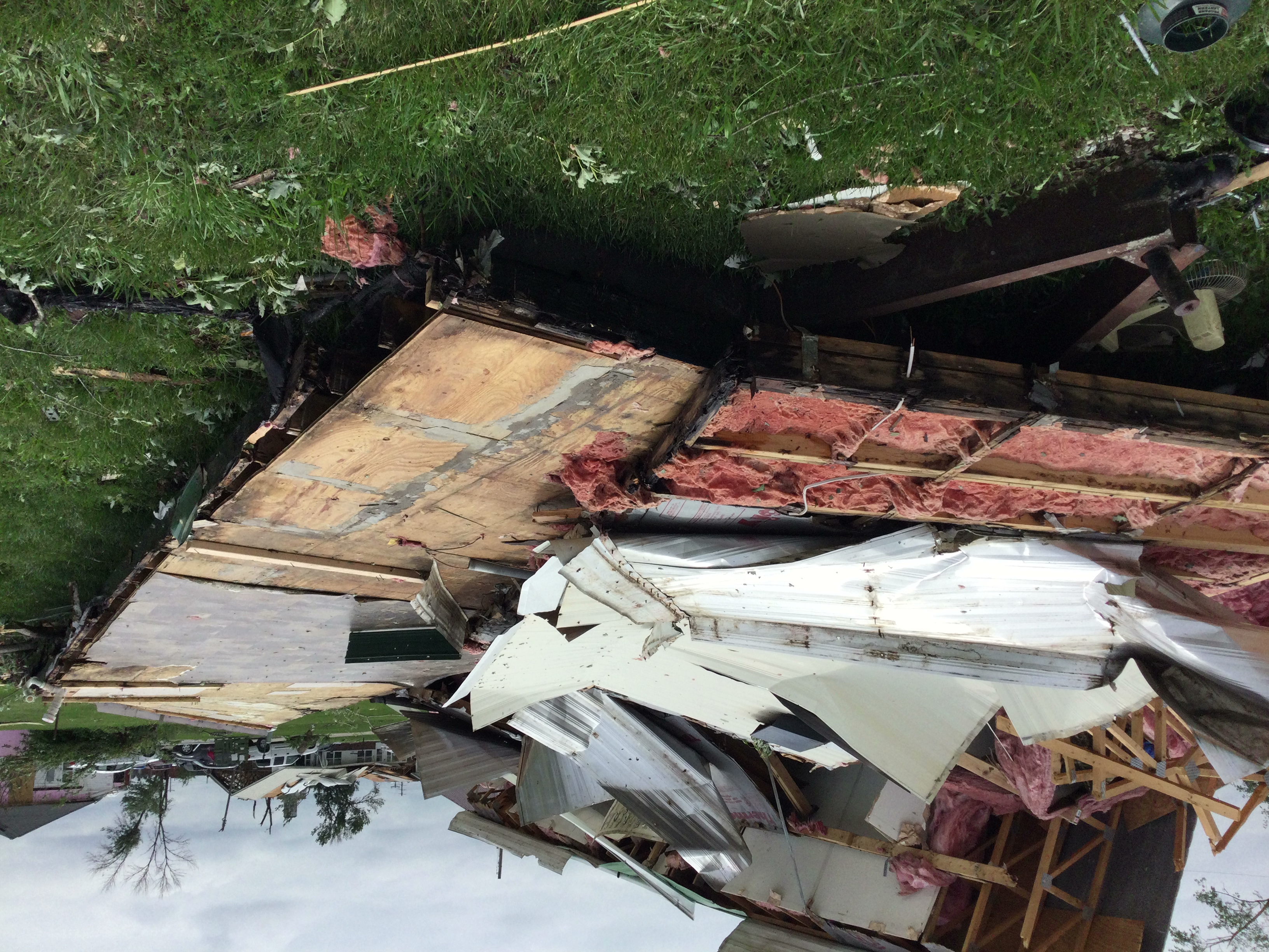
Manufactured Home Damage Baring, MO |
 |
 |
 |
 |
|
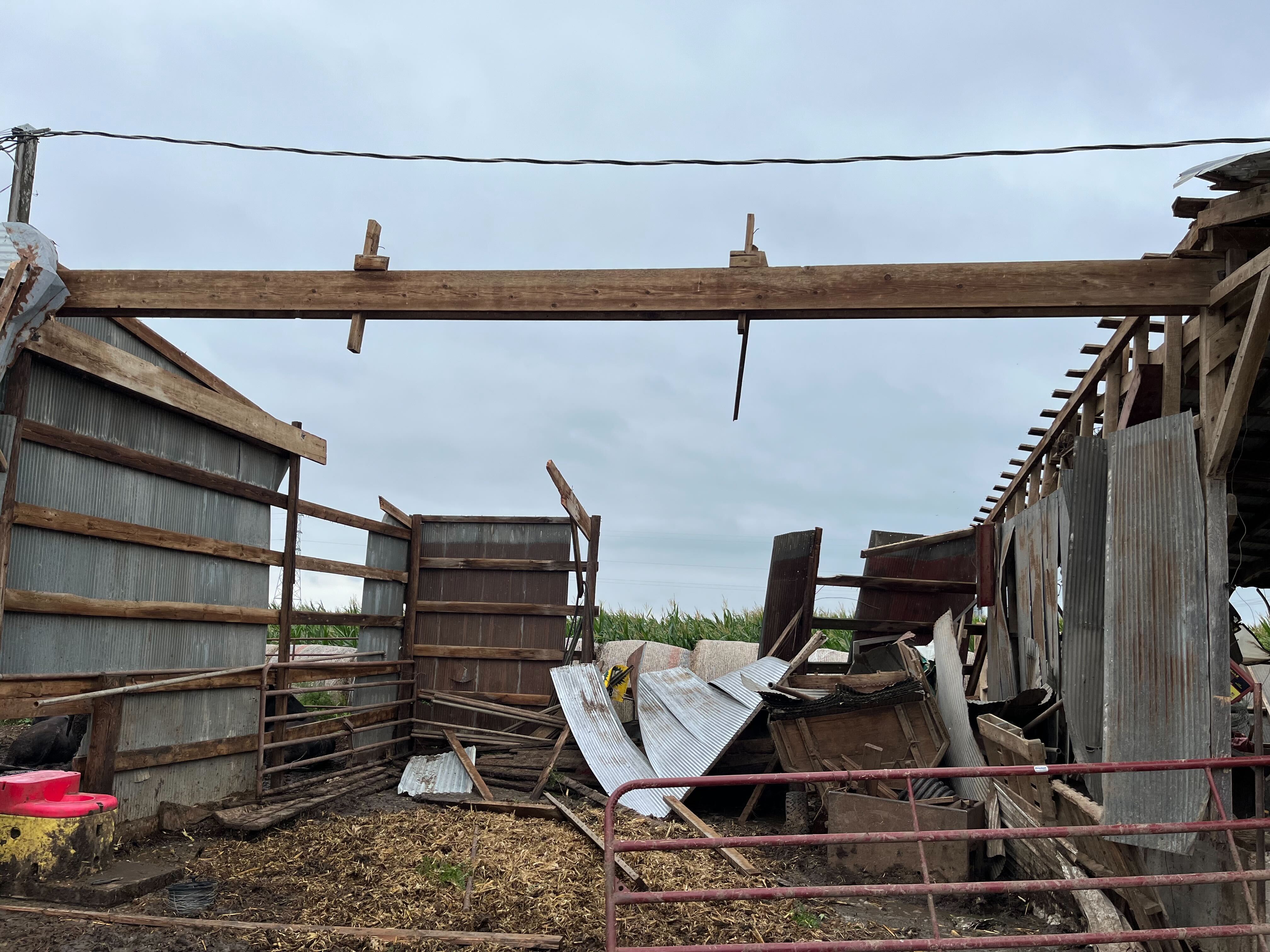
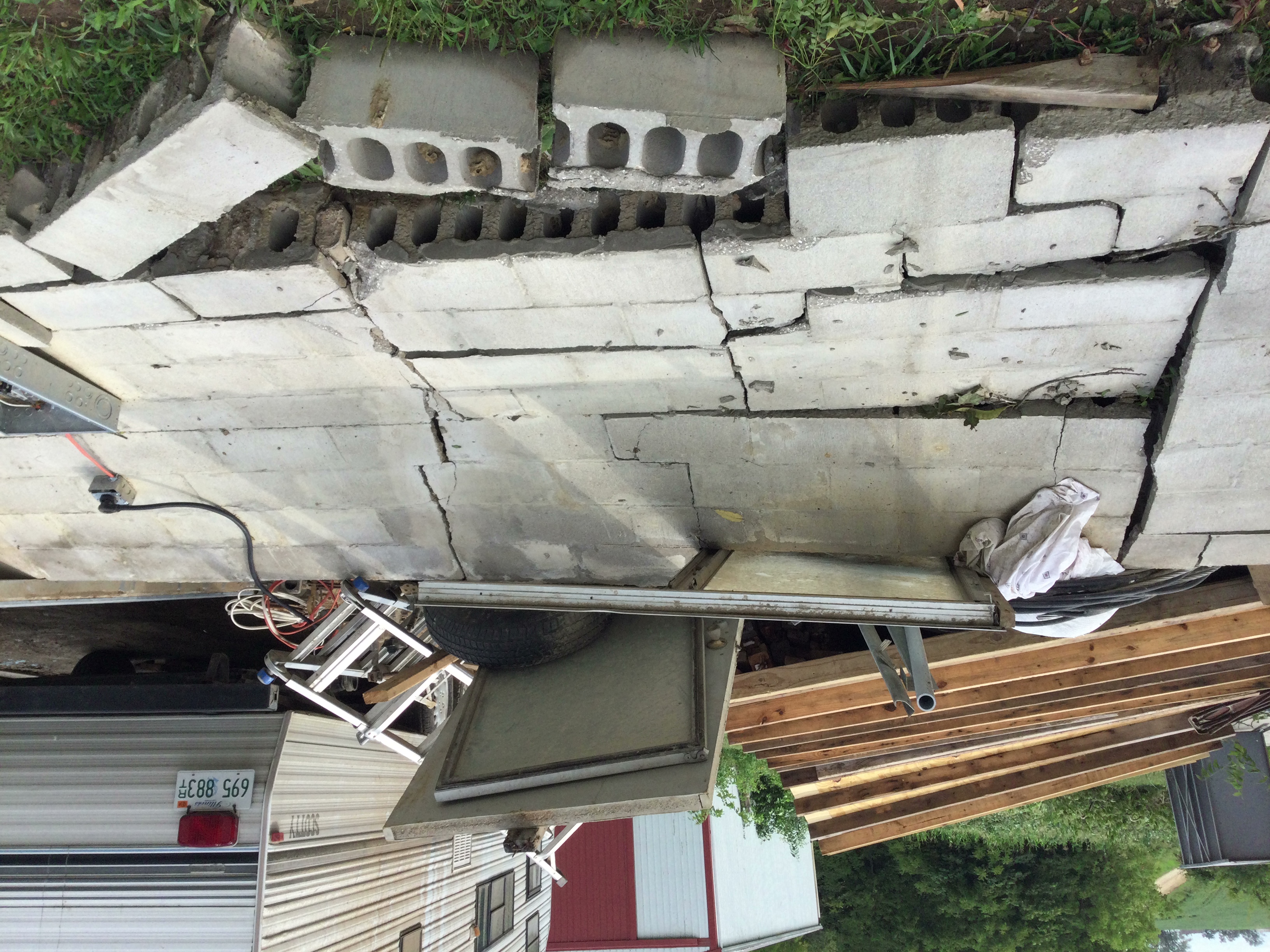
Barn Damaged Marcelline, IL |
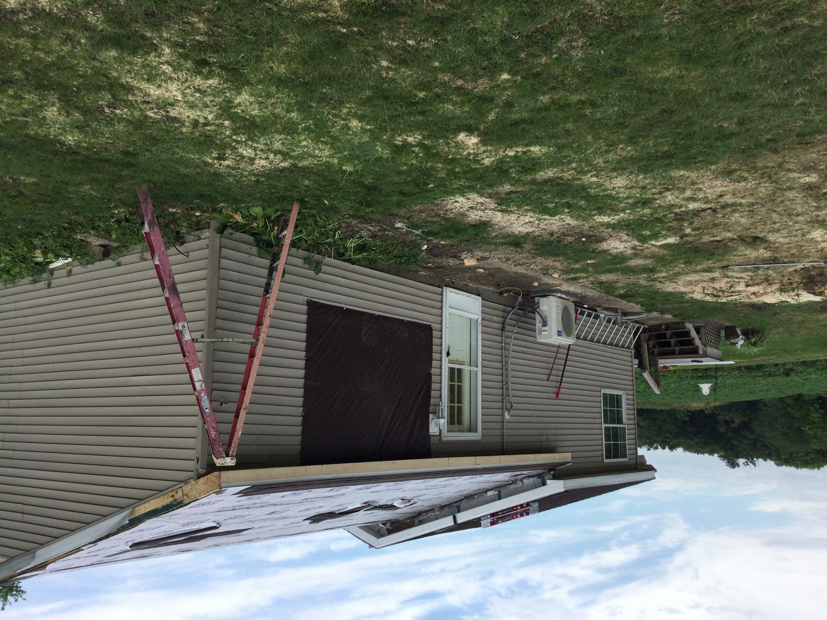
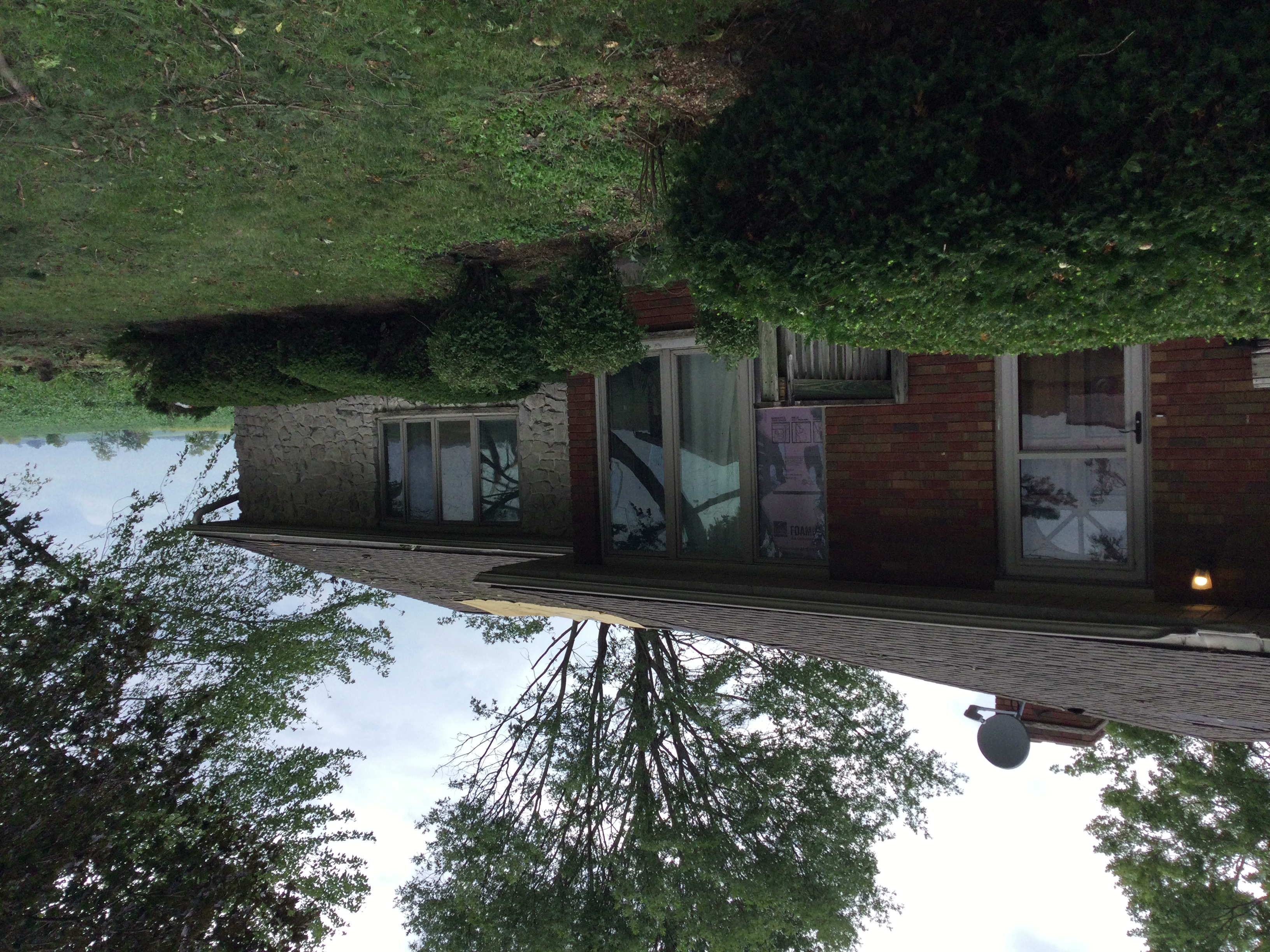
Home Damage Marcelline, IL |
Home Damage Marcelline, IL |
Outbuilding Damage Marcelline, IL |
 |
Media use of NWS Web News Stories is encouraged! Please acknowledge the NWS as the source of any news information accessed from this site. |
|



 Weather Story
 Weather Map
 Local Radar
 Follow us on X
 Follow us on Facebook
 Follow us on YouTube
 LSX RSS Feed