Miami - South Florida
Weather Forecast Office
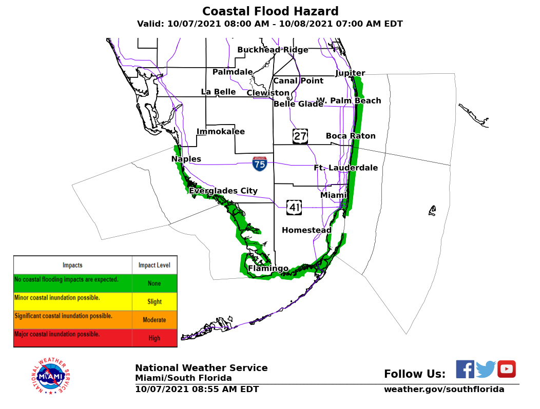
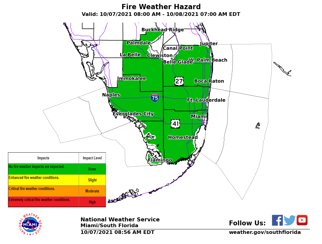
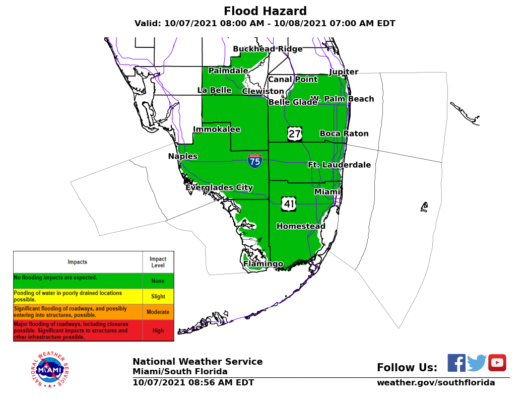
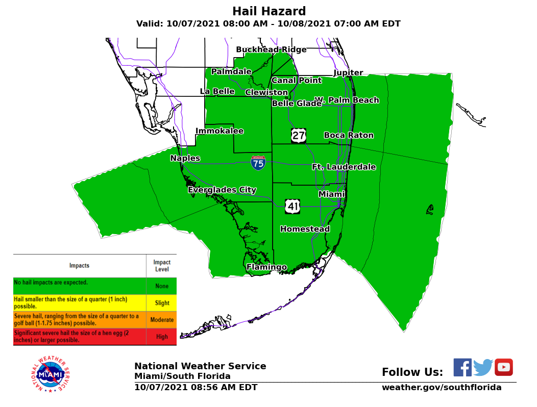
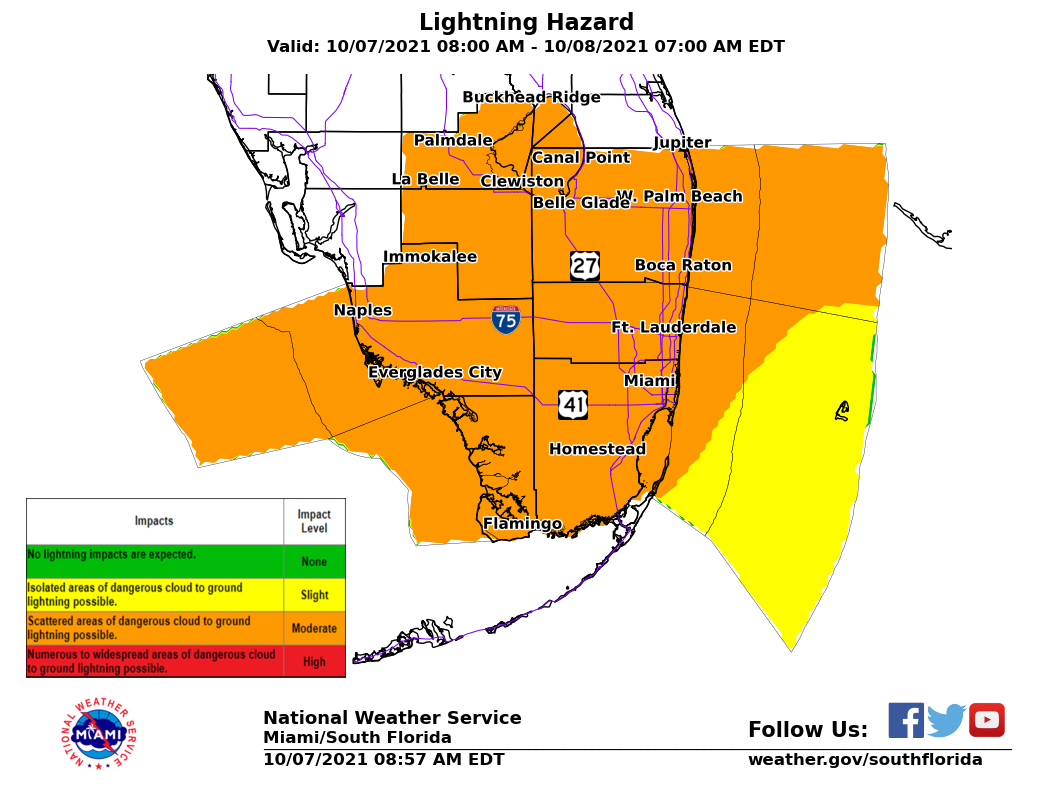
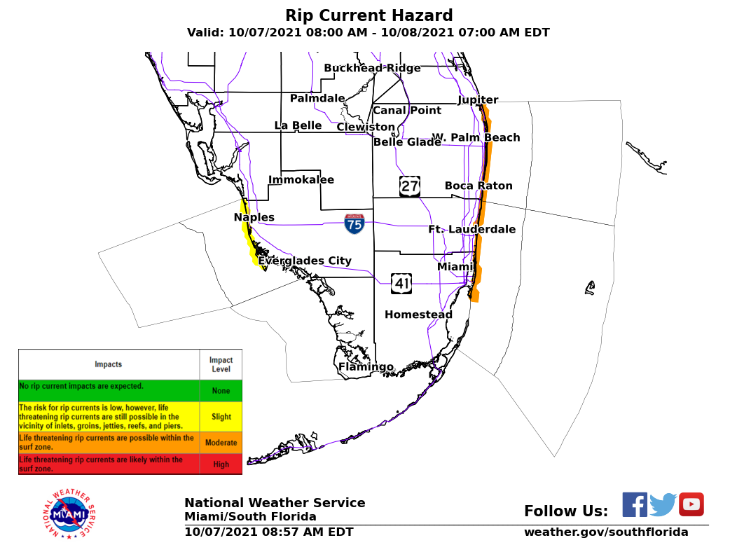
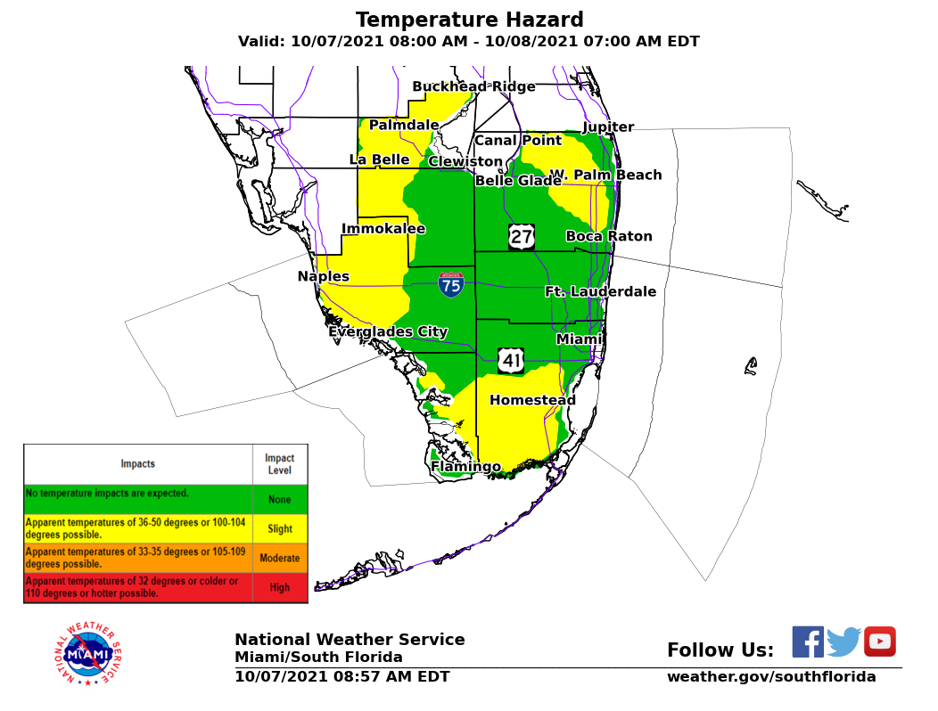
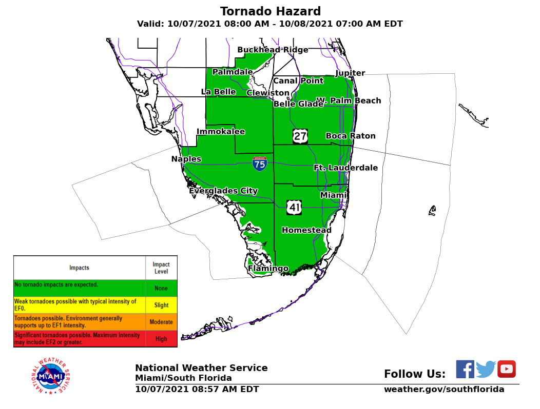
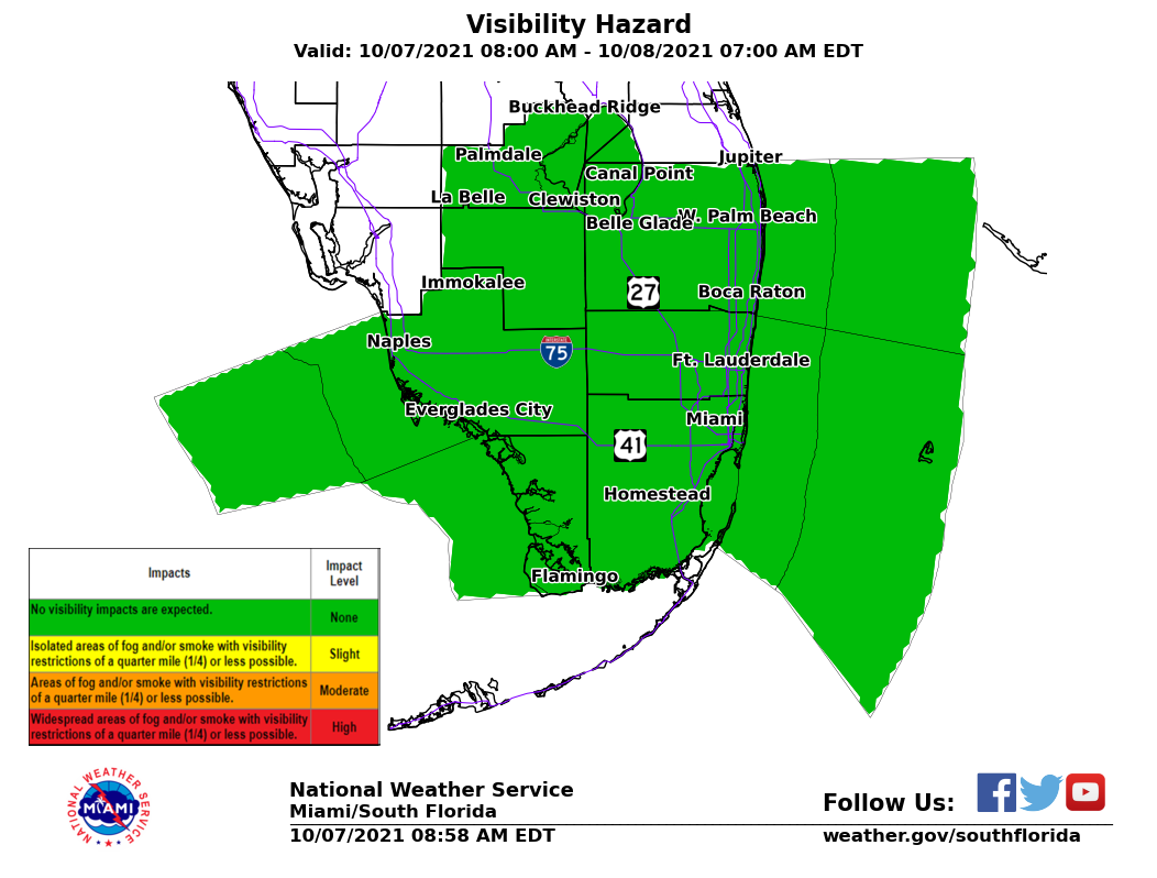
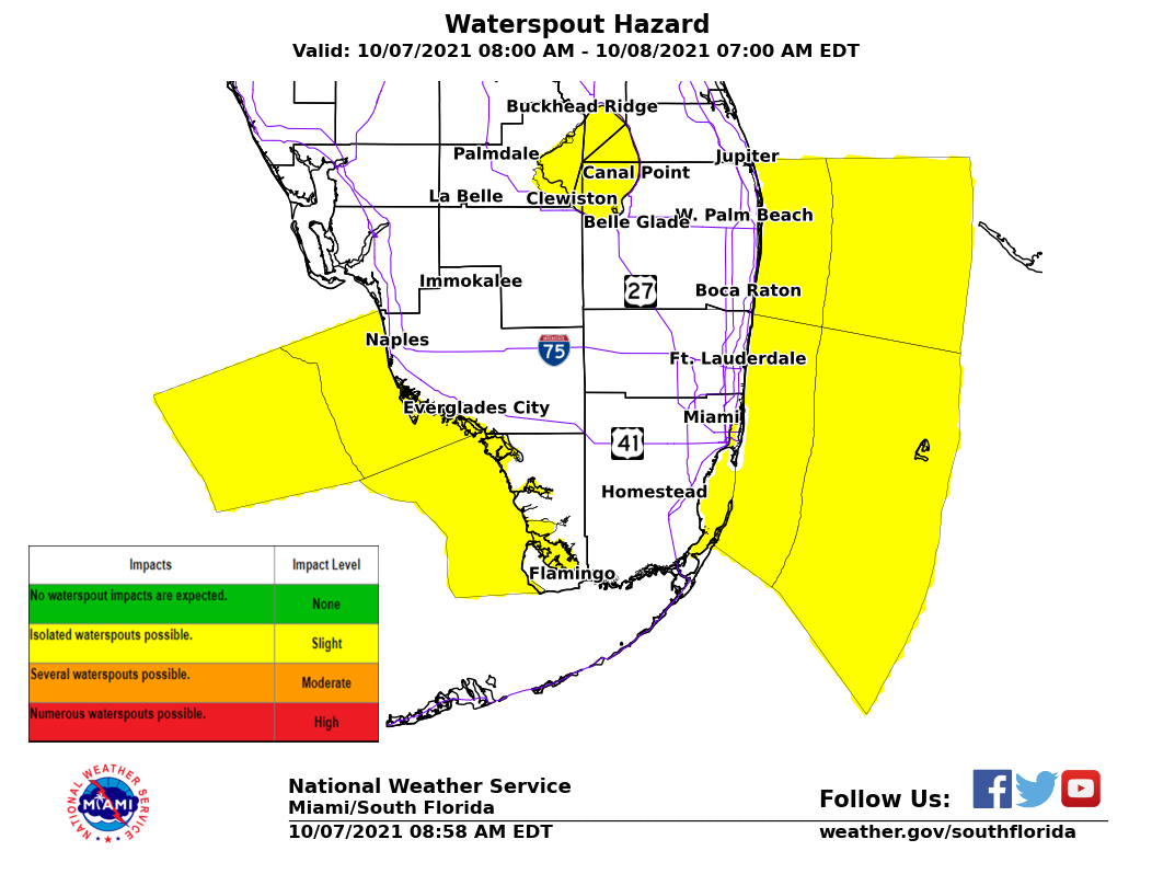
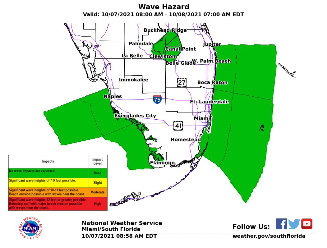
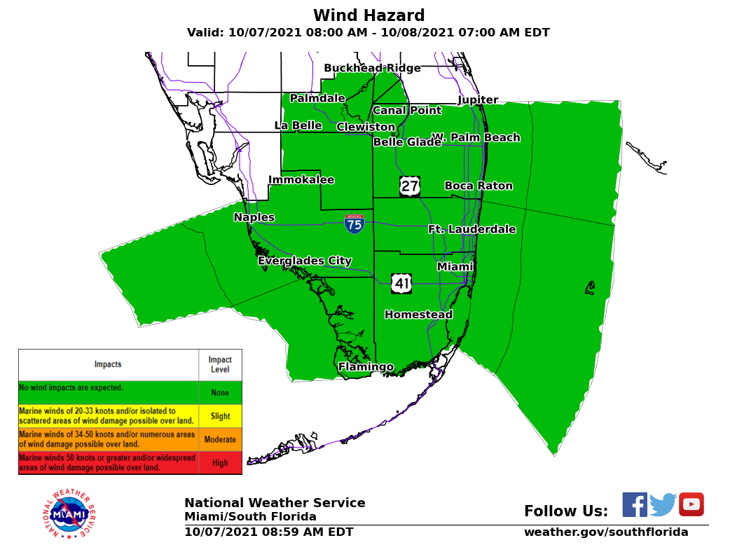
Today's Weather Impact Levels
Impact LevelsRepresents the impact level for various weather hazards common to South Florida and the adjacent local waters. Thresholds are None, Slight, Moderate, or High. These impact levels are designed to provide decision support for the Day 1 period. |
429
FLUS42 KMFL 190826
HWOMFL
Hazardous Weather Outlook
National Weather Service Miami FL
426 AM EDT Wed Mar 19 2025
AMZ610-630-650-651-670-671-FLZ063-066>075-168-172>174-GMZ656-657-676-
200830-
Lake Okeechobee-Biscayne Bay-
Coastal waters from Jupiter Inlet to Deerfield Beach FL out 20 NM-
Coastal waters from Deerfield Beach to Ocean Reef FL out 20 NM-
Waters from Jupiter Inlet to Deerfield Beach FL from 20 to 60 NM-
Waters from Deerfield Beach to Ocean Reef FL from 20 to 60 NM
excluding the territorial waters of Bahamas-Glades-Hendry-
Inland Palm Beach County-Metro Palm Beach County-
Coastal Collier County-Inland Collier County-Inland Broward County-
Metro Broward County-Inland Miami-Dade County-
Metropolitan Miami Dade-Mainland Monroe-Coastal Palm Beach County-
Coastal Broward County-Coastal Miami Dade County-Far South Miami-
Dade County-
Coastal waters from Chokoloskee to Bonita Beach FL out 20 NM-
Coastal waters from East Cape Sable to Chokoloskee FL out 20 NM-
Waters from Chokoloskee to Bonita Beach FL from 20 to 60 NM-
426 AM EDT Wed Mar 19 2025
...Elevated Risk of Rip Currents at East Coast Beaches...
This Hazardous Weather Outlook is for Atlantic coastal waters,
southeast Florida, southern Florida, southwest Florida and Gulf of
America.
.DAY ONE...Today and tonight.
Rip Currents: The high risk of rip currents will continue for the Palm
Beach beaches with a moderate risk at the Miami-Dade and Broward County
beaches.
Marine: Hazardous winds and seas continue over South Florida`s
Atlantic waters.
Smoke: There is potential for patchy smoke and decrease in visibility in
portions of far southern Miami-Dade and Mainland Monroe Counties due to
actively burning wildfires.
.DAYS TWO THROUGH SEVEN...Thursday through Tuesday.
The rip current risk will remain elevated for the Atlantic beaches into
early next week.
Additional hazardous boating conditions are possible late week with the
passage of another cold front.
.SPOTTER INFORMATION STATEMENT...
Spotter activation is not expected at this time.
$$
CURRENT HAZARDS
Submit a Storm Report
Outlooks
Graphical Hazardous Weather Outlook
Self Briefing Page
National Hazards
Tropics / Hurricanes
Local Storm Reports
CURRENT WEATHER
Surface Observations
Satellite
Observed Precipitation
MesoAnalysis
Rivers / Lakes
Latest Sounding
Lake Okeechobee
PAST WEATHER
Tropical Cyclone Reports
Past Events
Recent Rainfall
FORECASTS
Forecast Discussion
Tropical Weather
Probabilistic Page
Heat Page
Cold Weather Page
Marine Weather
Fire Weather
Beach Forecast
Aviation Weather
Probabilistic QPF
Hourly Forecasts
Activity Planner
Graphical Forecast
International Weather
RADAR IMAGERY
National
Miami Radar
Key West Radar
Across Florida
CLIMATE
Local Climate Info
More Local Climate Info
Climate Graphs
US Dept of Commerce
National Oceanic and Atmospheric Administration
National Weather Service
Miami - South Florida
11691 SW 17th Street
Miami, FL 33165
305-229-4522
Comments? Questions? Please Contact Us.