Widespread showers and thunderstorms, some severe, may bring heavy rain and flash flooding in the central Gulf Coast, Mid-Atlantic, the Upper Midwest, the Great Basin and Southwest. A stretch of unusually hot and humid weather is expected across portions of the central U.S. and the Southeast beginning this weekend. Critical fire weather conditions are expected in the Northwest and Great Basin. Read More >
Milwaukee/Sullivan, WI
Weather Forecast Office
If you have plans for today through Sunday, here's what you can expect:
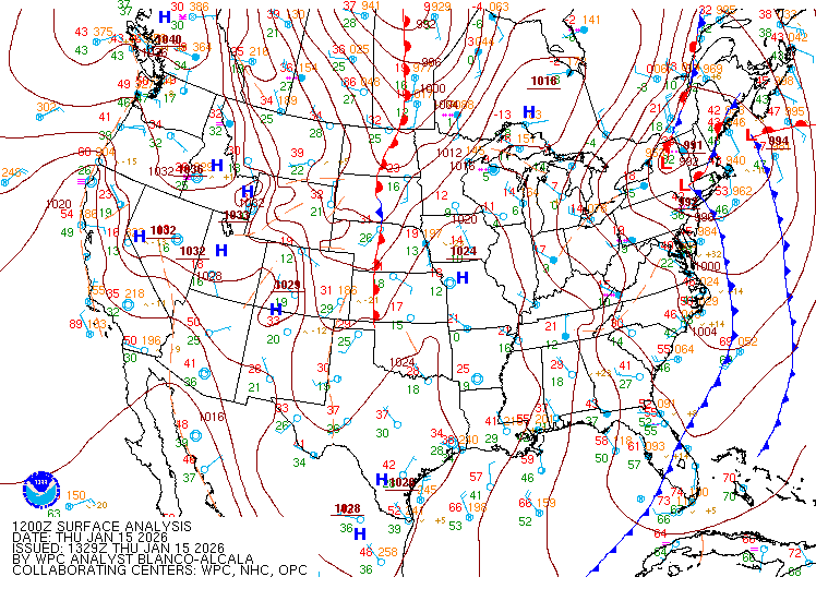
Wisconsin will be stuck between approaching low pressure to the west and high pressure out east tonight. Here is a look at the conditions around 7 pm on Saturday.
The low pressure system and cold front will approach the area this evening, helping to trigger a band of showers and thunderstorms, beginning around 7 PM (see radar simulated images below).
Here's a look at some high resolution radar simulations for when and where the showers and storms are expected to be this evening. Since it is a simulation, understand that there will be some differences in the exact placement and timing of the rain.
|
6 PM |
7 PM |
|
8 PM |
9 PM |
|
10 PM |
11 PM |
|
Midnight |
1 AM |
The rain will continue to spread east overnight, diminishing early Sunday morning. We should dry out by late morning on Sunday, with the rest of the afternoon looking pleasant and warm for mid October. Highs on Sunday will hit the upper 60s to lower 70s! Here's Sunday's weather map:
Enjoy your weekend!
-Davis
Hazards
National Briefing
Hazardous Weather Outlook
Skywarn
View Local Storm Reports
Submit A Storm Report
Winter Weather
Summer Weather
Beach Hazards
Local Forecasts
Marine
Aviation
Fire
Local Text Products
Local Precip Forecast
Hourly Forecast Graphics
Forecast Discussion
Climate
Daily Climate Graphics
Local Climate Products
Normals/Records MKE/MSN
CoCoRaHS
Historic Events For Srn WI
US Dept of Commerce
National Oceanic and Atmospheric Administration
National Weather Service
Milwaukee/Sullivan, WI
N3533 Hardscrabble Road
Dousman, WI 53118
262-965-2074
Comments? Questions? Please Contact Us.


