National Weather Service United States Department of Commerce

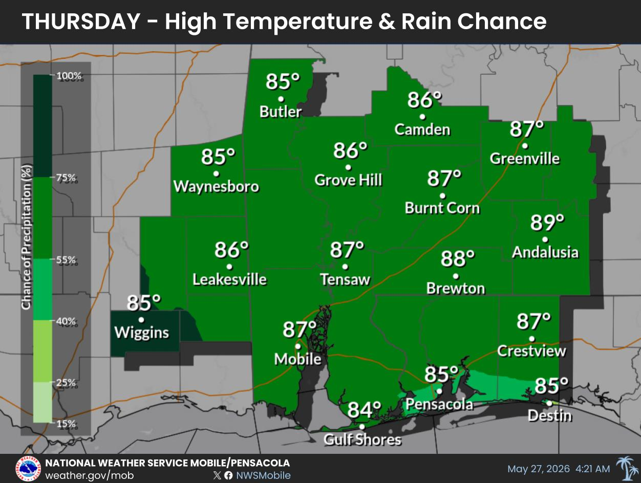
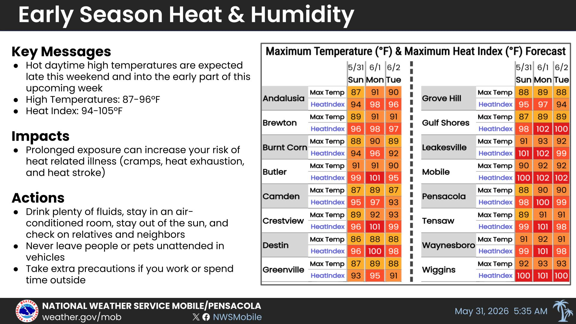
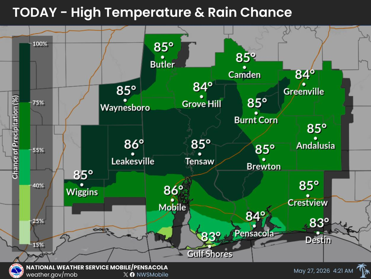
Hurricane Isaias will continue to strengthen as it moves into the central Gulf. It is forecast to make landfall along the northern Gulf Coast as a hurricane Friday night or early Saturday morning. Significant impacts are becoming likely! Impacts include damaging winds, life-threatening storm surge, high surf, rip currents, flash flooding, and tornadoes. For more information, visit our social media pages at Facebook and X pages or listen to a NOAA Weather Radio. Stay weather aware!
Potential Impacts for: Winds up to 110 mph. Considerable roof damage to sturdy buildings, some homes will have structural damage. Mobile homes severely damaged. Many large trees snapped or uprooted along with road signs blown over. Some roads impassable due to debris. Large areas of power and communications outages. For more information, visit our social media pages at Facebook and X pages or listen to a NOAA Weather Radio. Stay weather aware!
Potential Impacts for: Major Flooding Rain. Many evacuations and high-water rescues. Flooding of many structures, some structures becoming uninhabitable. Escape routes in many places covered by floodwaters . Dangerous driving conditions. Streets and parking lots inundated with water, underpasses submerged. Many road and bridge closures with some weakened or washed out. For more information, visit our social media pages at Facebook and X pages or listen to a NOAA Weather Radio. Stay weather aware!
Potential Impacts for: Several Tornadoes. Several places may experience tornado damage with a few spots of considerable damage. Roofs torn off frame houses. Mobile homes demolished. Large trees snapped or uprooted. Vehicles tumbled, small boats tossed. Power and communication outages. For more information, visit our social media pages at Facebook and X pages or listen to a NOAA Weather Radio. Stay weather aware!
A Storm Surge Warning is in effect for all of coastal AL and the western Florida Panhandle. The potential storm surge inundation is 5-7 feet for the entire coastline. The storm surge will most likely peak Friday night and begin to subside by Saturday morning. For more information, visit our social media pages at Facebook and X pages or listen to a NOAA Weather Radio. Stay weather aware!
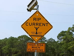
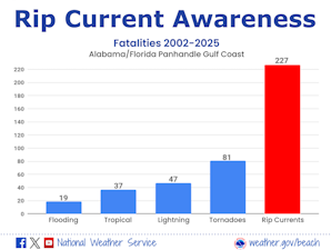
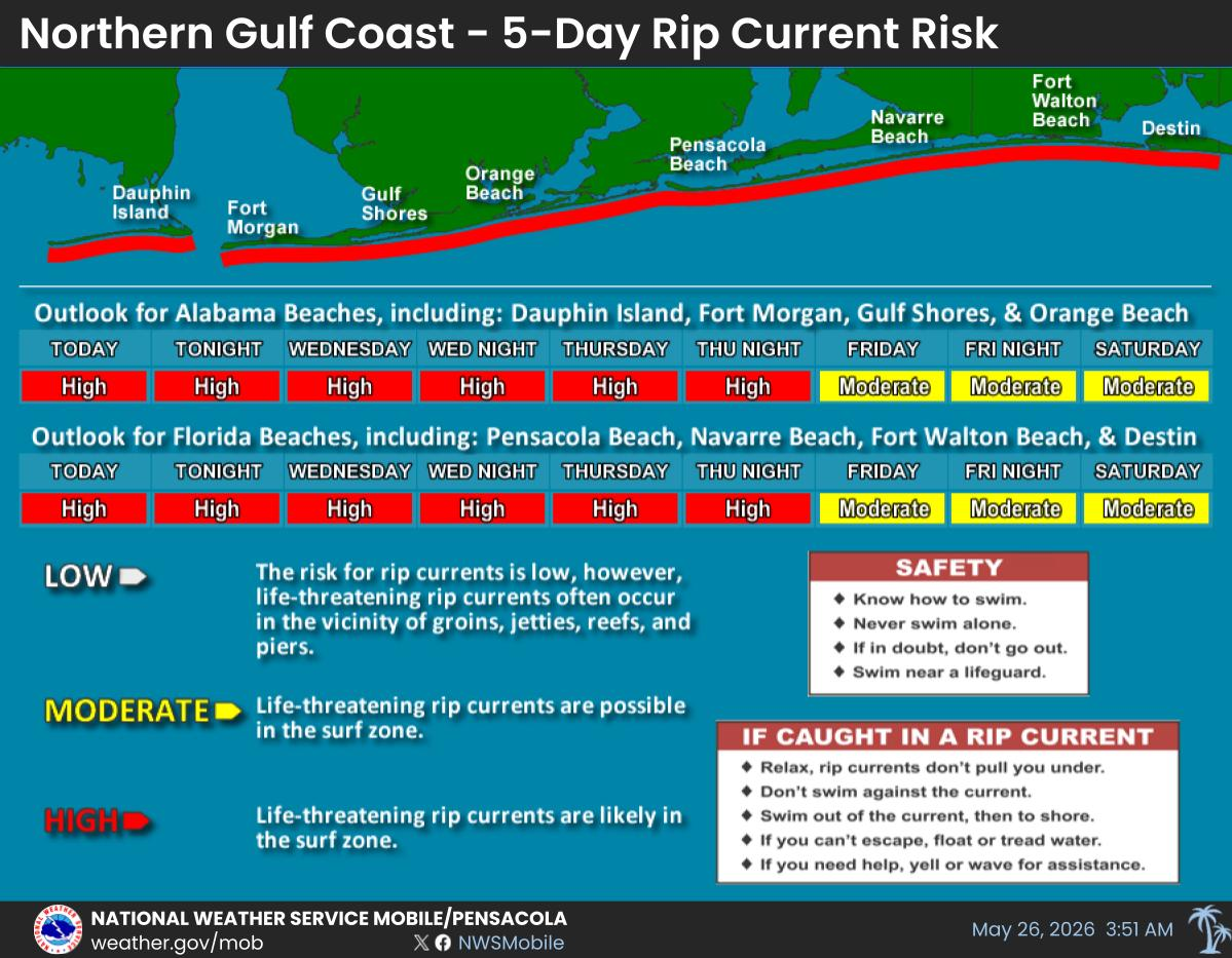
The rip current risk continues to be HIGH through the weekend for coastal Alabama and the northwest Florida Panhandle. High Surf: Surf builds early Friday morning, increasing rapidly Friday afternoon and evening east of where Isaias makes landfall with 20-25 foot breakers along the Florida panhandle and 10-15 foot breakers west of the center. Surf will slowly subside on Saturday. Major to EXTREME beach erosion. 5-Day Rip Current Outlook for Coastal Alabama and Northwest Florida. For more information, go to weather.gov/beach/mob.
Storm surge is destructive, life-threatening coastal flooding. It accounts for about half of the deaths associated with tropical systems. Promptly follow evacuation and other instructions from local officials. Anyone located within the warning areas should take all necessary actions to protect life and property from rising water and the potential for other dangerous conditions. For more information, visit our social media pages at Facebook and X pages or listen to a NOAA Weather Radio. Stay weather aware!

Fast Access Product Selector

View the latest Local Storm Report
Submit a Storm Report


Forecaster's Discussion
Hour by Hour Forecast
Hourly Forecast
Graphical Forecast
Graphical Forecast
Weather Information Display
Weather Info Display
Satellite
Satellite
Social Media Feeds
Social Media
Marine Quick Links
Marine Quick Links
Wave Prediction
Wave Prediction
Tide Information
Tide Information
NOAA PORTS
NOAA PORTS®
Sea Surface Temperature
Beach Forecast
Beach and Surf