
Severe thunderstorms and heavy rain may produce large to very-large hail, severe winds, tornadoes and numerous instances of flash flooding across portions of the central Plains. Scattered slow-moving storms will continue to bring a flash flooding threat to the central Gulf Coast. Elevated to critical fire weather conditions are expected across much of the western U.S.. Read More >
Morristown, TN
Weather Forecast Office
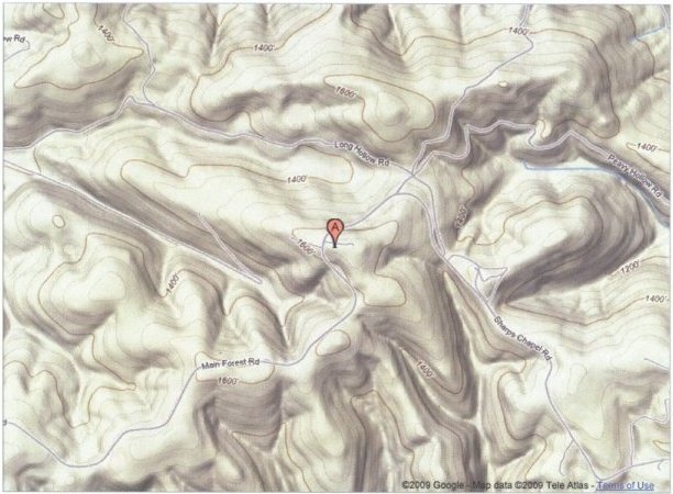
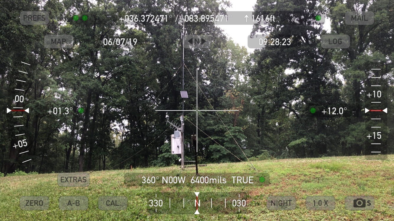
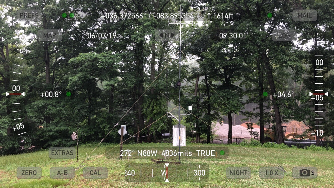
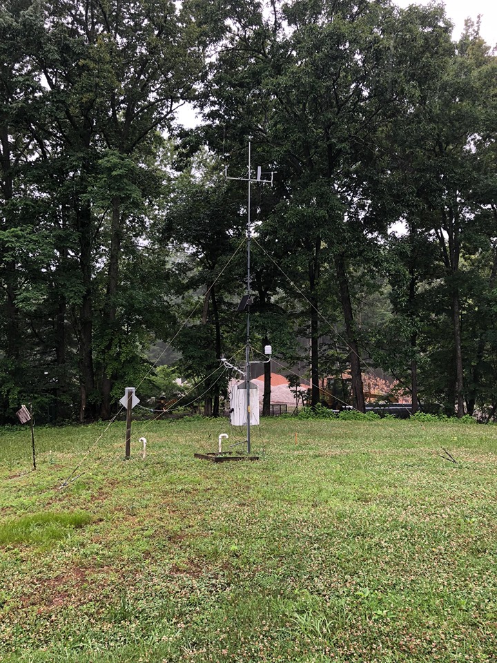
Chuck Swan RAWS site information
Chuck Swan Raws site |
US Dept of Commerce
National Oceanic and Atmospheric Administration
National Weather Service
Morristown, TN
5974 Commerce Blvd.
Morristown, TN 37814
(423) 586-3771
Comments? Questions? Please Contact Us.


 Local Radar
 Huntsville Radar
 Regional Satellite
 Graphical Forecast
 Weather Map