
A strong atmospheric river will continue heavy rain over southern California through Friday. The heaviest rainfall is ongoing today in the Los Angeles Basin. Flash and urban flooding is possible. A prolonged heavy snowfall has begun over the Sierra Nevada Mountains and will continue through Friday. Travel will become increasingly difficult over the passes due to snow and strong winds. Read More >
Morristown, TN
Weather Forecast Office
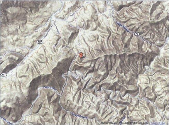
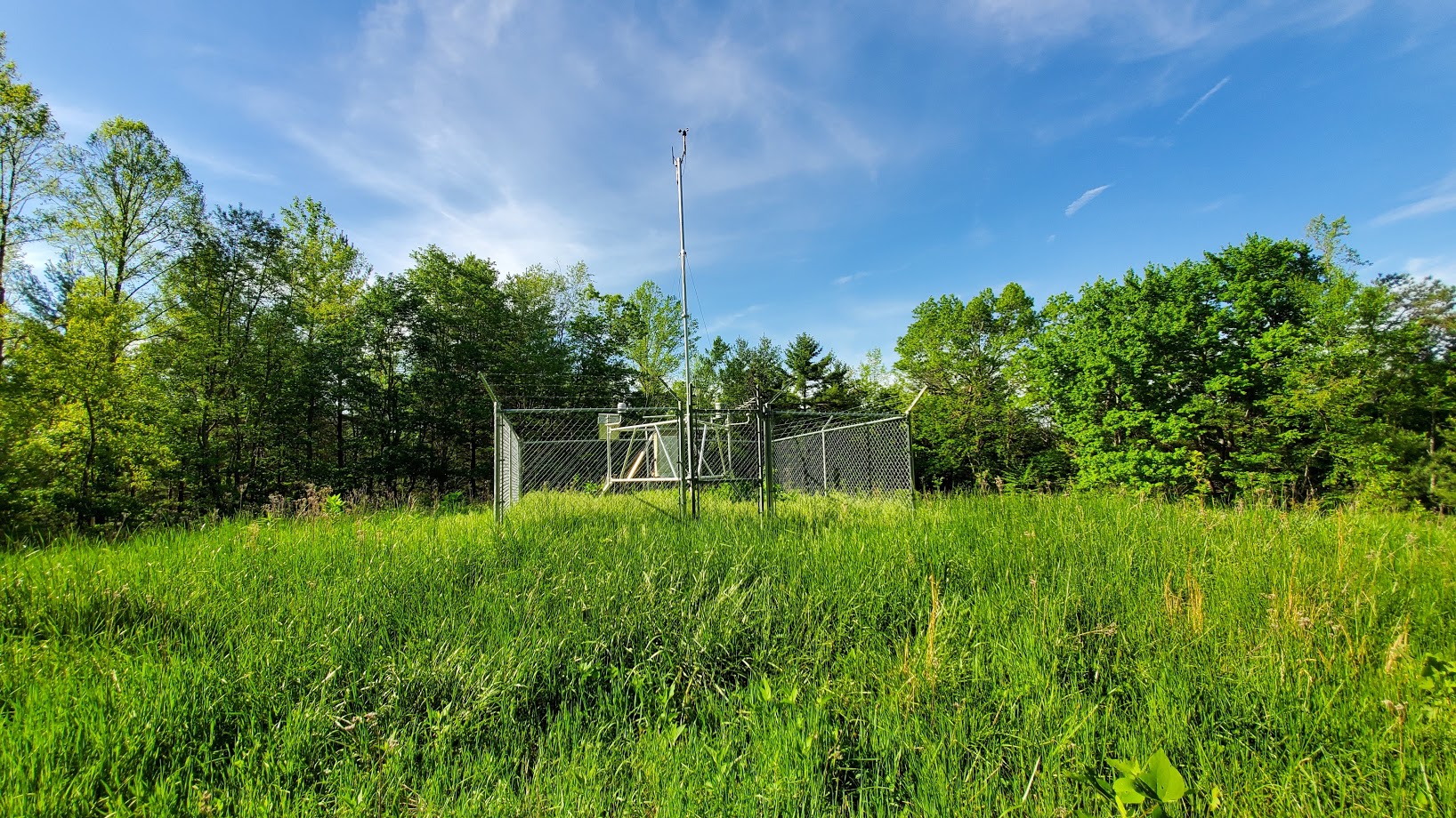
Nolichucky RAWS site information
Nolichucky RAWS site |
US Dept of Commerce
National Oceanic and Atmospheric Administration
National Weather Service
Morristown, TN
5974 Commerce Blvd.
Morristown, TN 37814
(423) 586-3771
Comments? Questions? Please Contact Us.






 Local Radar
 Huntsville Radar
 Regional Satellite
 Graphical Forecast
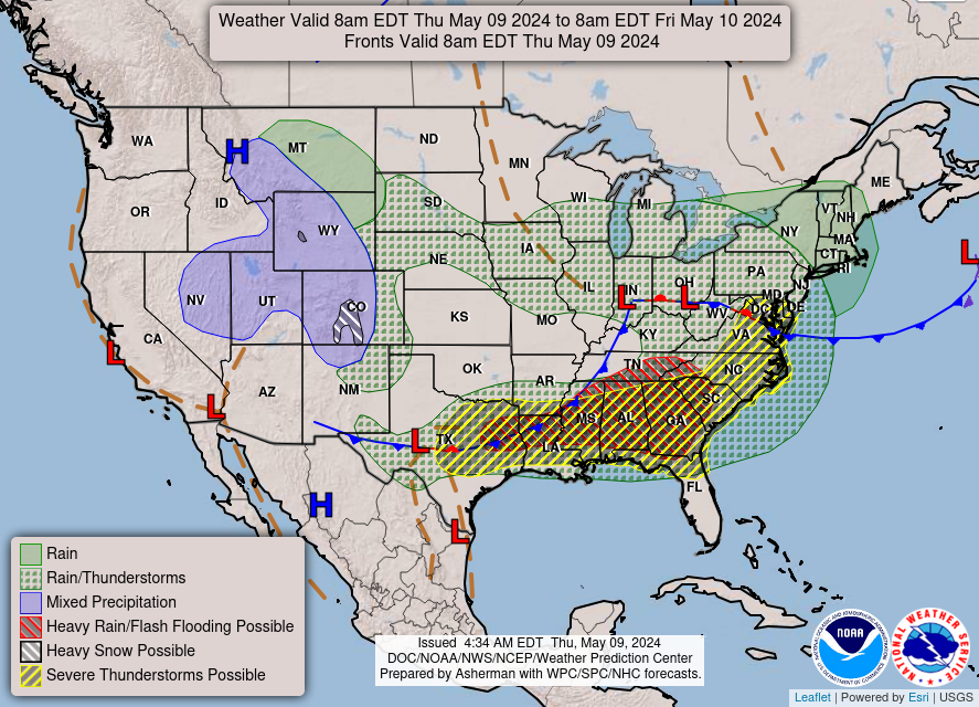 Weather Map