National Weather Service United States Department of Commerce

Prolonged Atmospheric River in the Pacific Northwest; Snow and High Winds in the North-Central U.S.

A prolonged atmospheric river will continue impacting the Pacific Northwest with heavy rainfall which has lead to areas of urban and river flooding along with gusty winds into Thursday. A clipper will bring heavy snow, some mixed wintry precipitation, and gusty to high winds across the northern Plains, Upper Midwest, and the Great Lakes into Thursday morning. Read More >


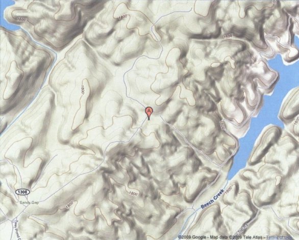
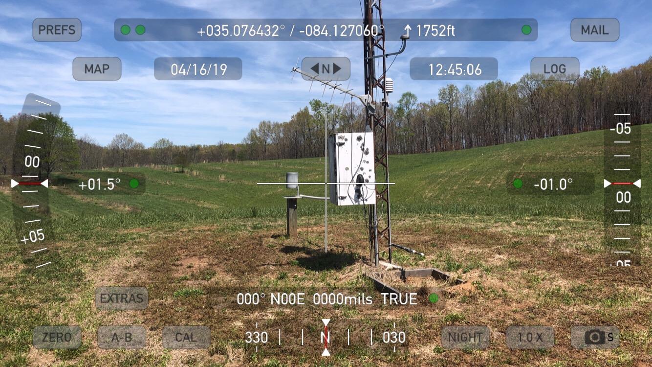
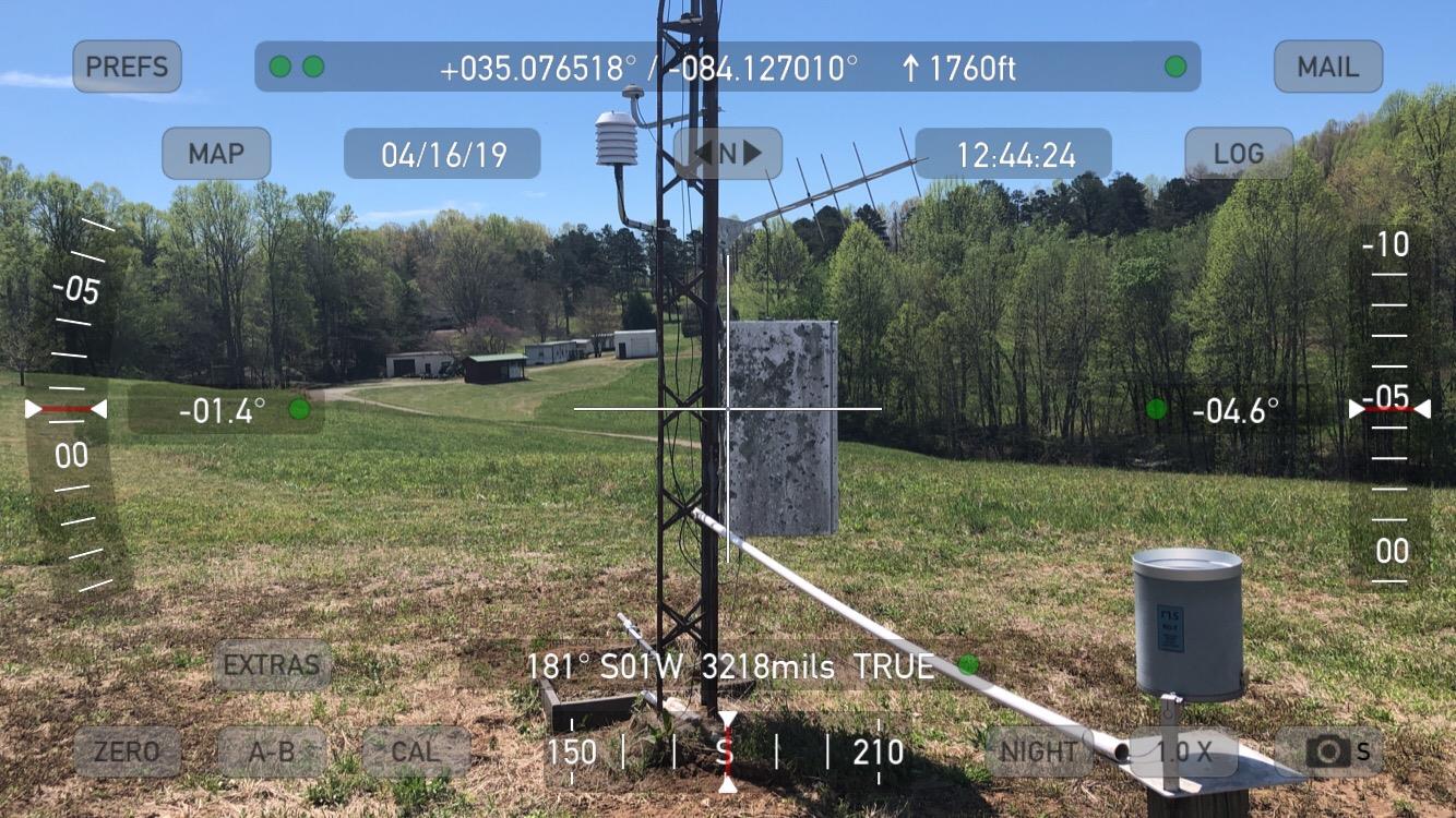
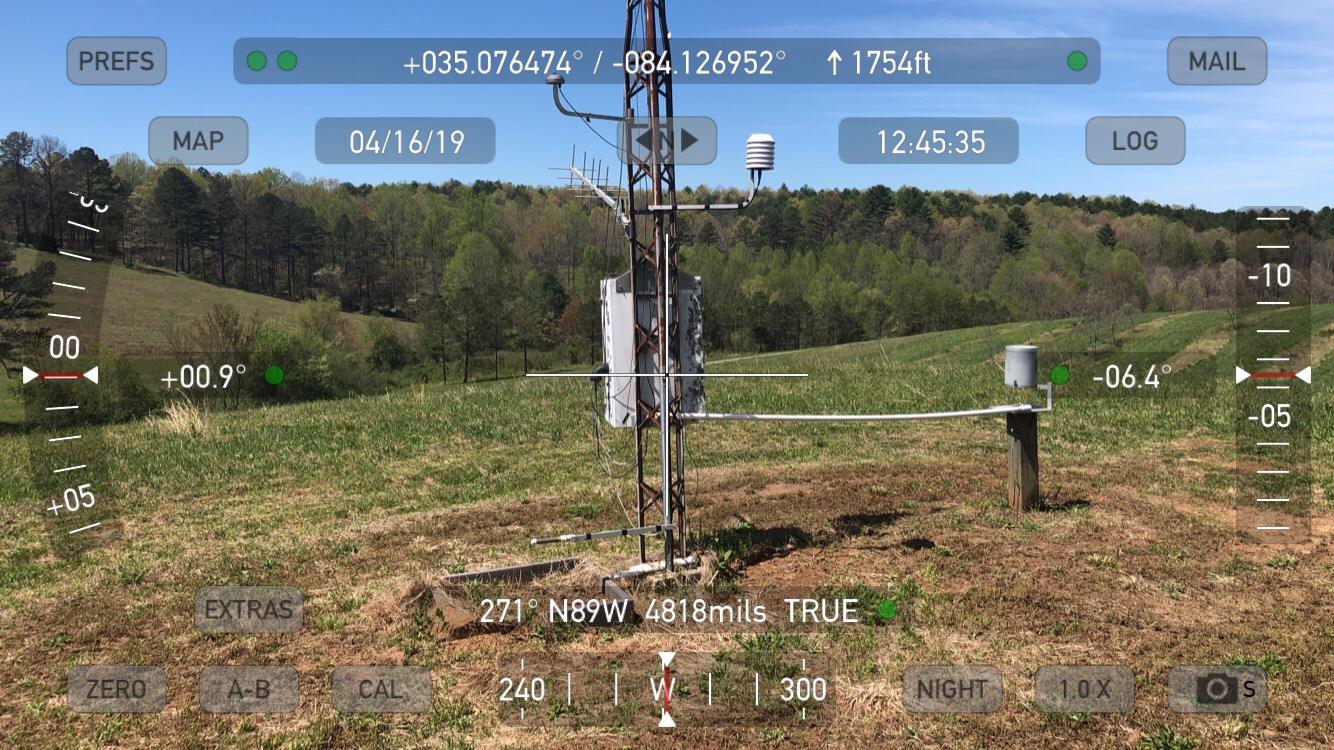
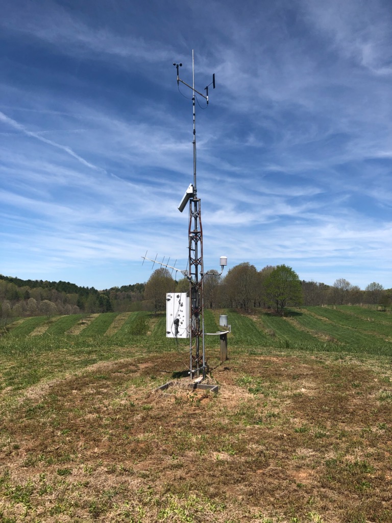
Tusquitee RAWS site information


This U.S. Forest Service site is located near Hiwassee Lake around five miles southwest of Murphy in Cherokee County of southwest North Carolina (Nantahala National Forest). The site is located on a plateau (flat terrain) at an elevation around 1787 feet MSL, with good exposure to the wind in all directions. An arm of the Hiwassee Lake is less than 1 mile to the west and around 80 feet lower in elevation than the RAWS. Since the station is not located on a mountain, slope rules do not apply. Mostly grassy (mowed) vegetation surrounds the RAWS site for around 200 yards.


Topographical map of the Tusquitee RAWS site
Topographical map of the Tusquitee RAWS site.

View of the Tusquitee RAWS site looking north
View of the Tusquitee RAWS site looking north.

View of the Tusquitee RAWS site looking east
View of the Tusquitee RAWS site looking east.

View of the Tusquitee RAWS site looking south
View of the Tusquitee RAWS site looking south.

View of the Tusquitee RAWS site looking west
View of the Tusquitee RAWS site looking west.

View of the future Tusquitee RAWS site looking northwest
Tusquitee RAWS site