
Thunderstorms and periods of heavy to excessive rainfall will continue over Florida through Thursday; and will begin to impact the central Plains today. Dry and gusty conditions will promote elevated to critical fire weather conditions in the Southeast. A Kona Low is expected to bring strong winds, widespread heavy rainfall, and flooding concerns to the island chain through the weekend. Read More >
Morristown, TN
Weather Forecast Office
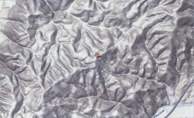
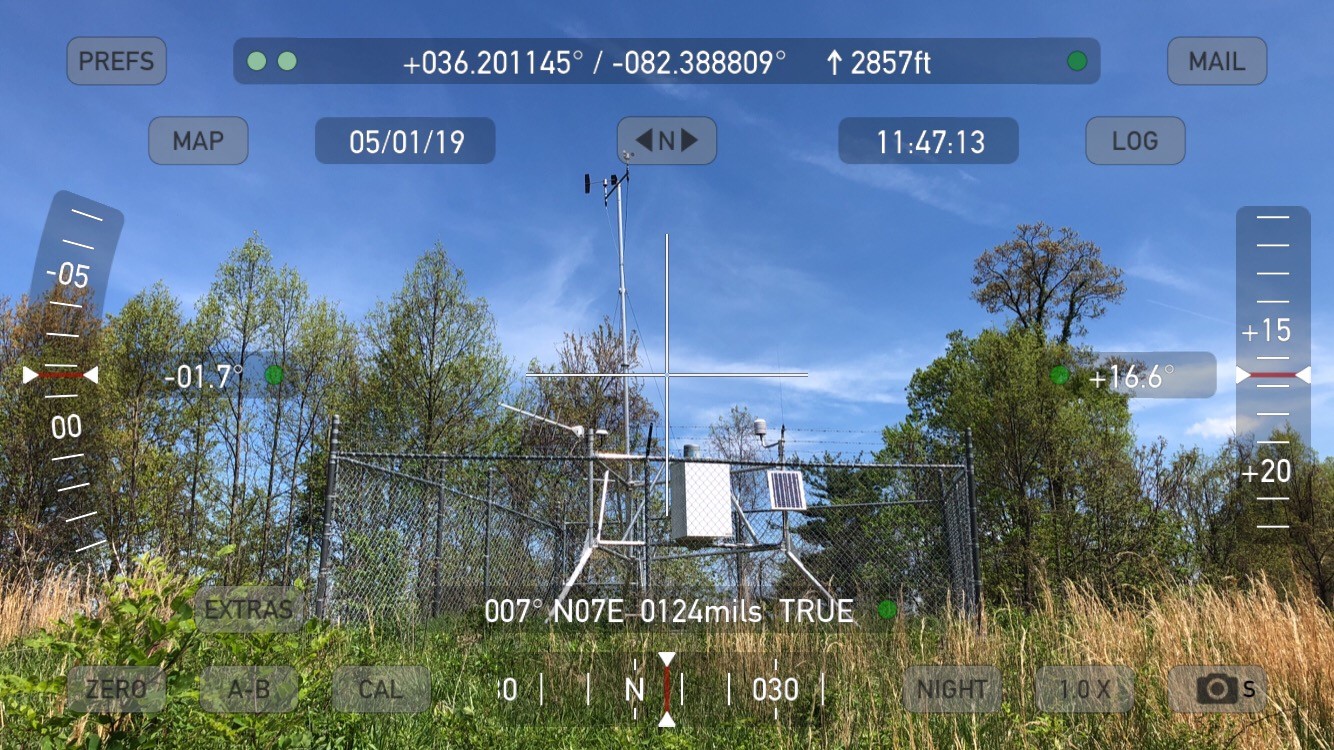
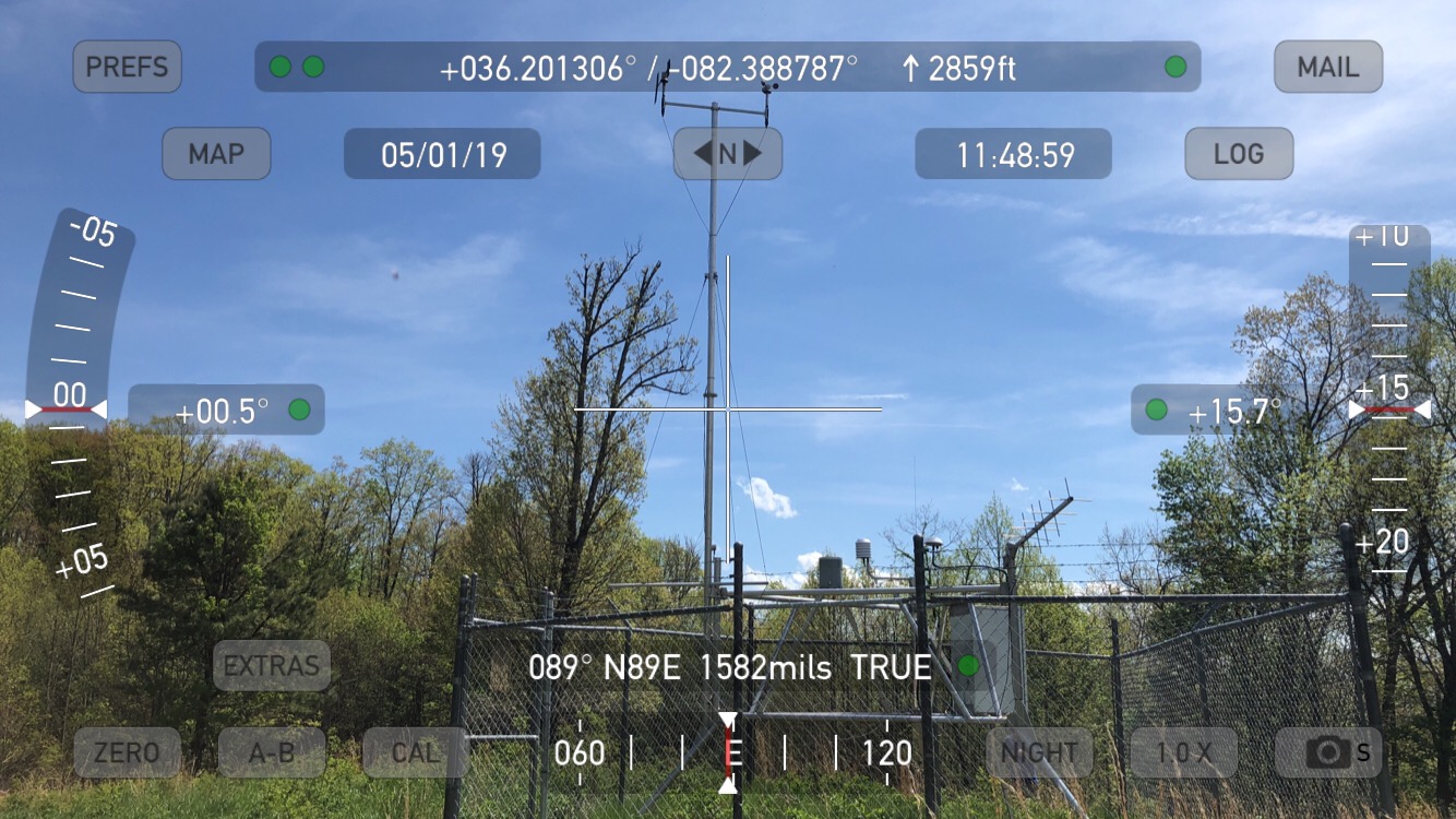
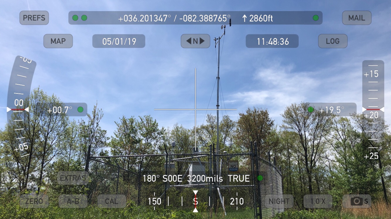
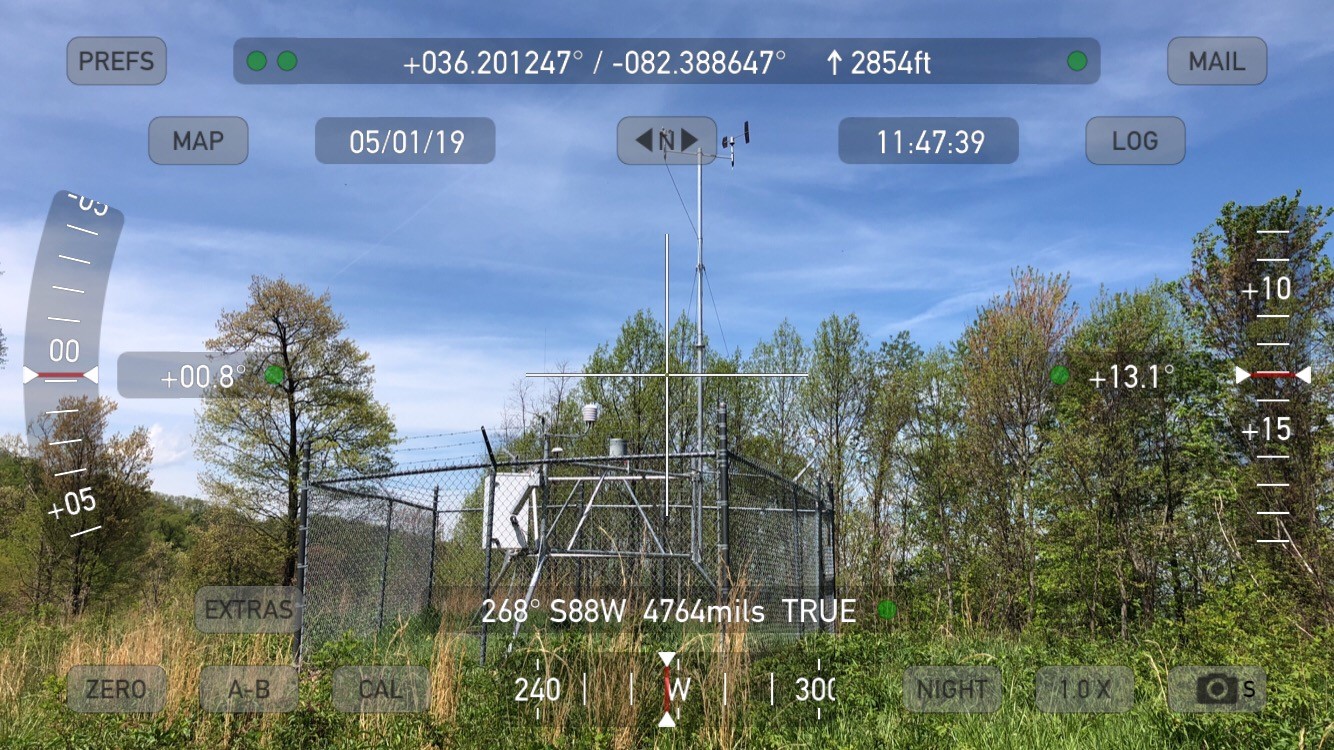
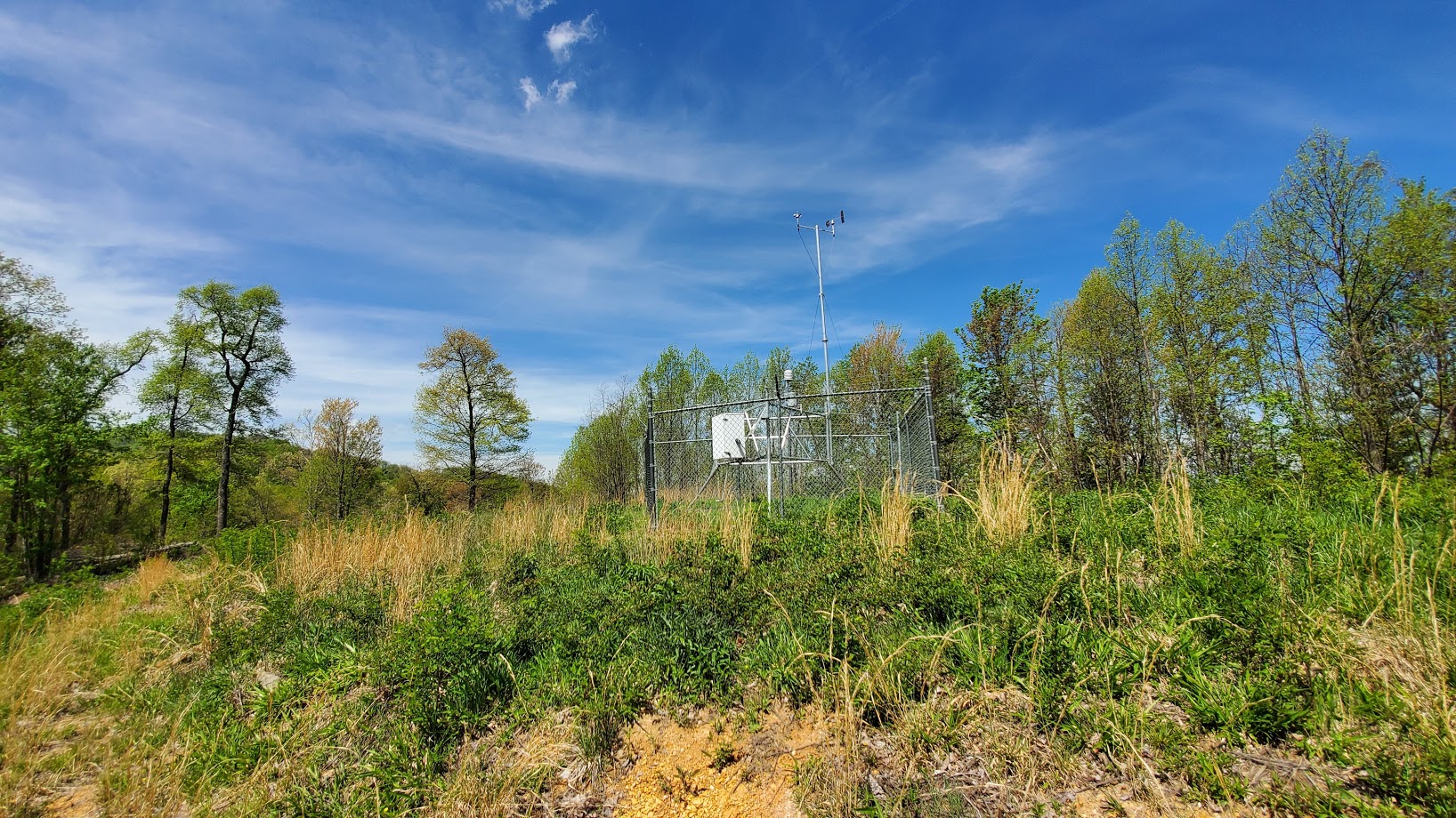
Watauga RAWS site information
Watauga RAWS site |
US Dept of Commerce
National Oceanic and Atmospheric Administration
National Weather Service
Morristown, TN
5974 Commerce Blvd.
Morristown, TN 37814
(423) 586-3771
Comments? Questions? Please Contact Us.


 Local Radar
 Huntsville Radar
 Regional Satellite
 Graphical Forecast
 Weather Map