Top 10 Weather Headlines of 2012
On both a national and a local scale, 2012 was the warmest year on record as of that time. Extreme weather events in 2012 captured our attention. A record-breaking drought dominated the spring and summer months. A summer heat wave broke all-time high temperature records. The traditional spring severe weather season was relatively quiet. The most significant severe weather event occurred in late February, when an EF-4 tornado struck Harrisburg, Illinois. The annual rainfall total at Paducah was the 2nd lowest on record, compared to 2011, which was the highest on record.
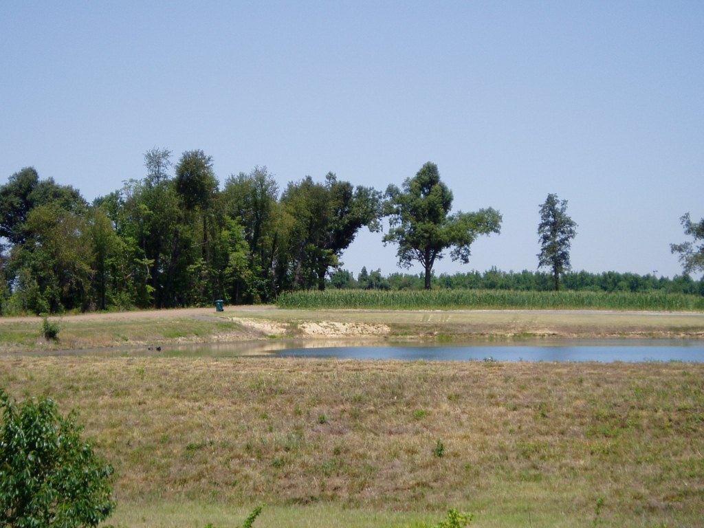 1. Spring/Summer Drought - One of the driest years on record contributed to a long-term drought that decimated the corn crop in many areas and caused record low river levels. Photo at left of low pond near Paducah, KY in June. 1. Spring/Summer Drought - One of the driest years on record contributed to a long-term drought that decimated the corn crop in many areas and caused record low river levels. Photo at left of low pond near Paducah, KY in June. |
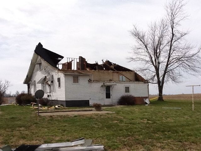
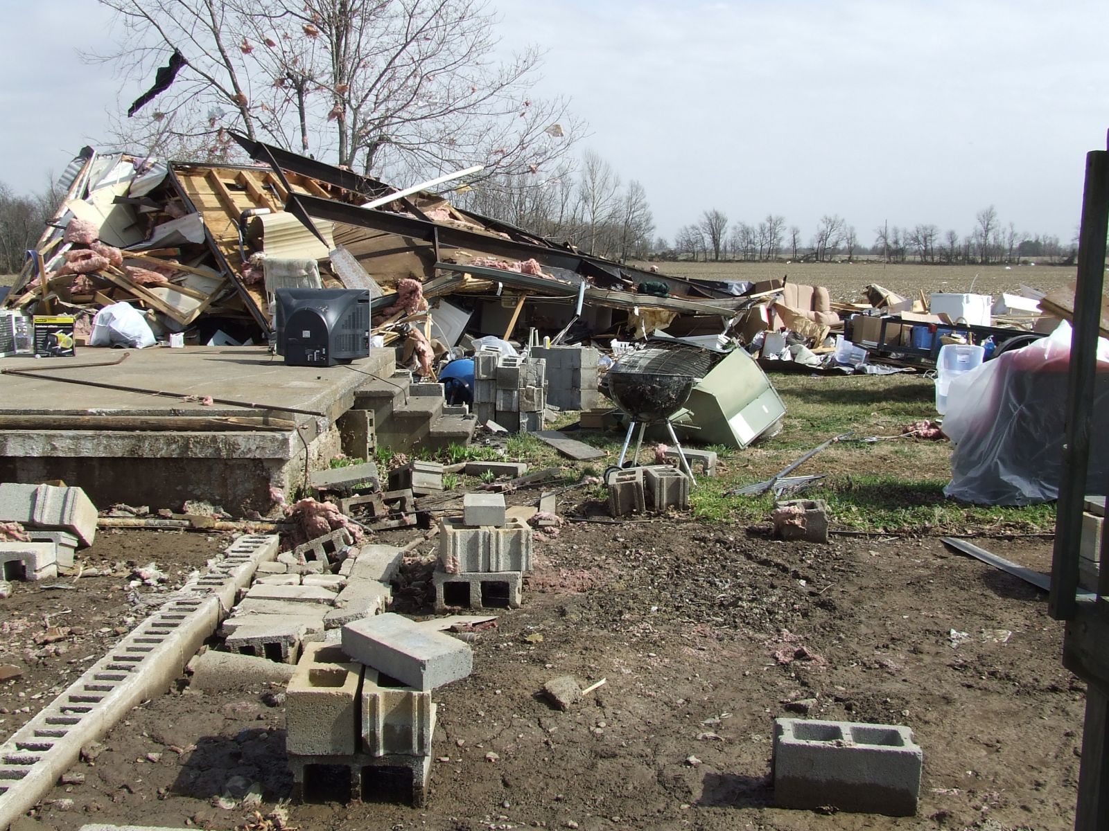 2. Harrisburg EF-4 Tornado - A tornado outbreak during the early morning hours of February 29 took a number of lives. Seven persons were killed when Harrisburg was struck by a tornado rated EF-4. Damage photo taken in Harrisburg. 2. Harrisburg EF-4 Tornado - A tornado outbreak during the early morning hours of February 29 took a number of lives. Seven persons were killed when Harrisburg was struck by a tornado rated EF-4. Damage photo taken in Harrisburg. |
|
|
|
|
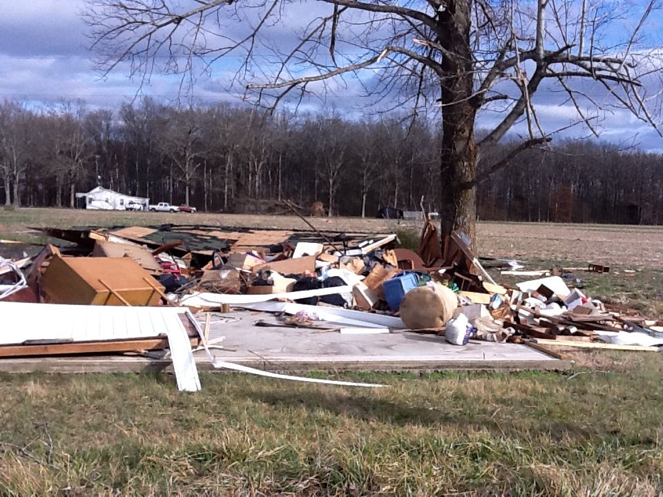
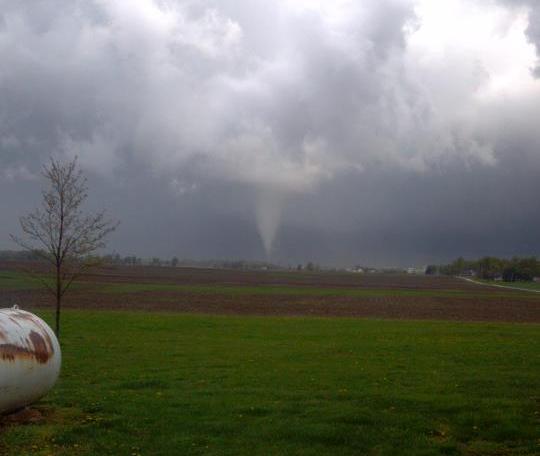
 5. Scott County, MO EF-2 Tornado - An EF-2 tornado at Diehlstadt, MO took three lives on June 4. Photo taken at Diehlstadt. 5. Scott County, MO EF-2 Tornado - An EF-2 tornado at Diehlstadt, MO took three lives on June 4. Photo taken at Diehlstadt. |
|
|
|
|
|
|
 9. Jan. 22 Severe Weather - A severe weather outbreak produced numerous reports of wind damage, along with a couple weak tornadoes. Photo at left of destroyed garage near Hazel, KY. 9. Jan. 22 Severe Weather - A severe weather outbreak produced numerous reports of wind damage, along with a couple weak tornadoes. Photo at left of destroyed garage near Hazel, KY. |
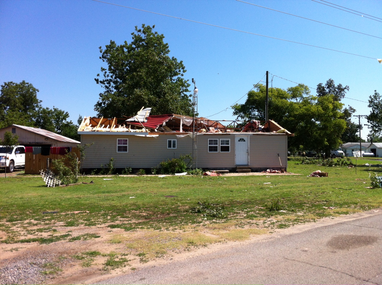
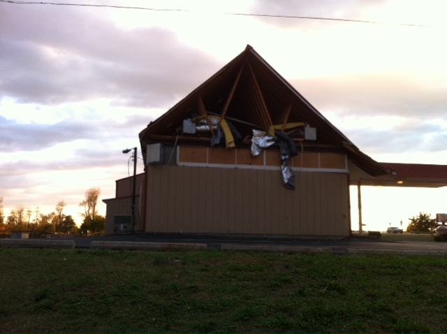 10. Mayfield, KY EF-1 tornado - A tornado struck Mayfield, KY during the early morning hours, injuring one person rather seriously. Photo taken in Mayfield, KY. 10. Mayfield, KY EF-1 tornado - A tornado struck Mayfield, KY during the early morning hours, injuring one person rather seriously. Photo taken in Mayfield, KY. |
|
|


 3.
3.  4.
4.  6.
6.  7.
7.  8.
8.