|
Severe Weather Heavy Rain & Flooding Drought Extreme Heat Winter: Snow Ice Cold |
||
| Satellite | U.S. Drought Monitor | Graphical Forecast |
 |
 |
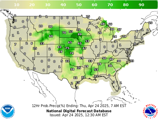 |
| Current Weather | Forecast Maps | |
 |
 |
|
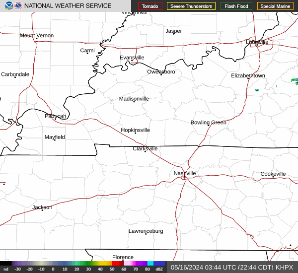
| Paducah Radar | Evansville Radar | Fort Campbell Radar |
 |
 |
 |
| Weather Story | Current Hazards | Graphical Nowcast |
 |
 |
| Weather Information: Watches, Warnings, Forecast Products, etc. | |
|
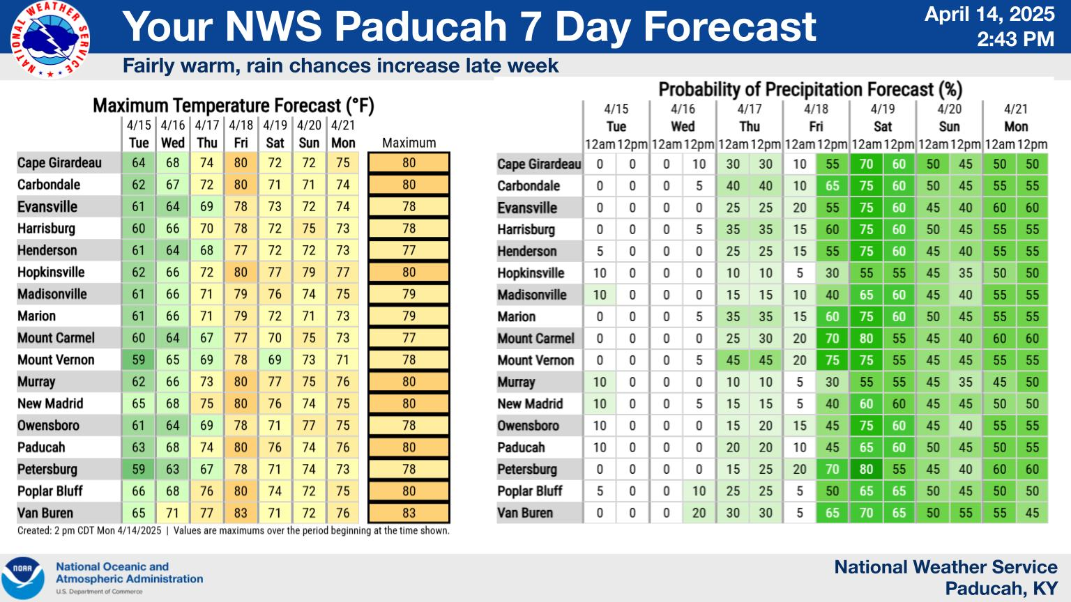
General Forecast Products |
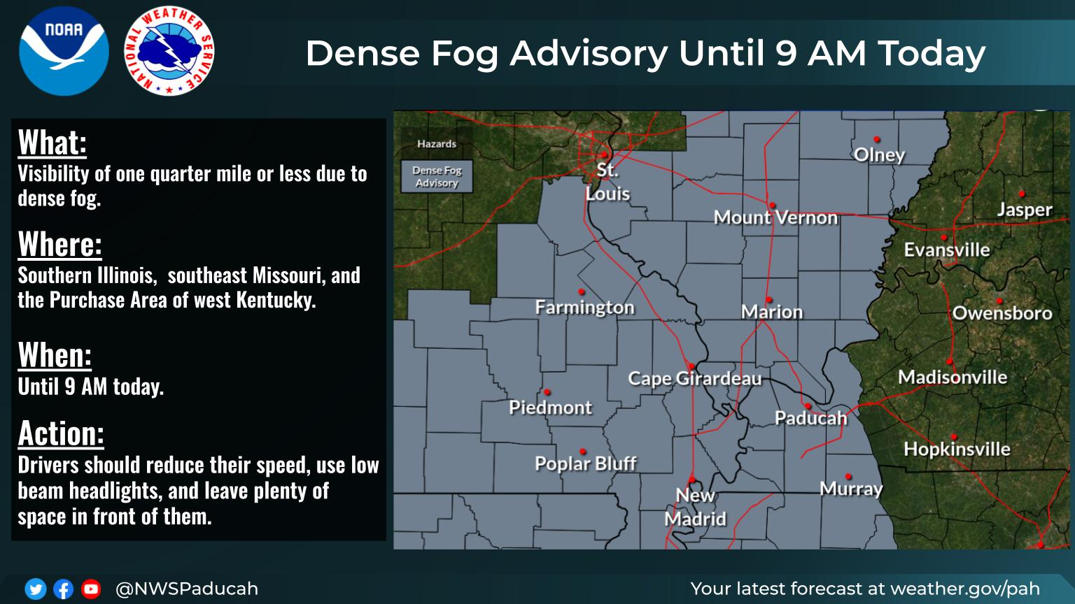
Other Local Products |
|
Miscellaneous Products |
Latest Weather Observations |
| Storm Prediction Center (SPC) & Climate Prediction Center (CPC) Graphics | ||
| Forecasts from the Storm Prediction Center (SPC) | ||
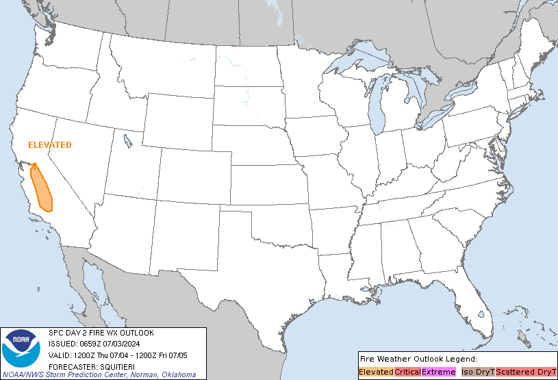
| Fire Weather Outlooks | ||
|
|
|
|
| Information & Forecasts from the Climate Prediction Center (CPC) | |||
| Drought Information | |||
|
|
|
|
|
| Temperature Outlooks | |||
|
|
|
|
|
| Precipitation Outlooks | |||
|
|
|
|
|
| Safety and Preparedness | |
| Criteria for Fire Weather Products Issued by WFO Paducah | |
|
|
|


