It was the 4th hottest meteorological summer on record for Phoenix, with an average temperature of 96.2°. Summer 2025 also came in 2.7° cooler than last summer, however, it was still above normal/average. August 2025 also finished as the 5th hottest August on record for Phoenix with an average monthly temperature of 98.2 degrees.


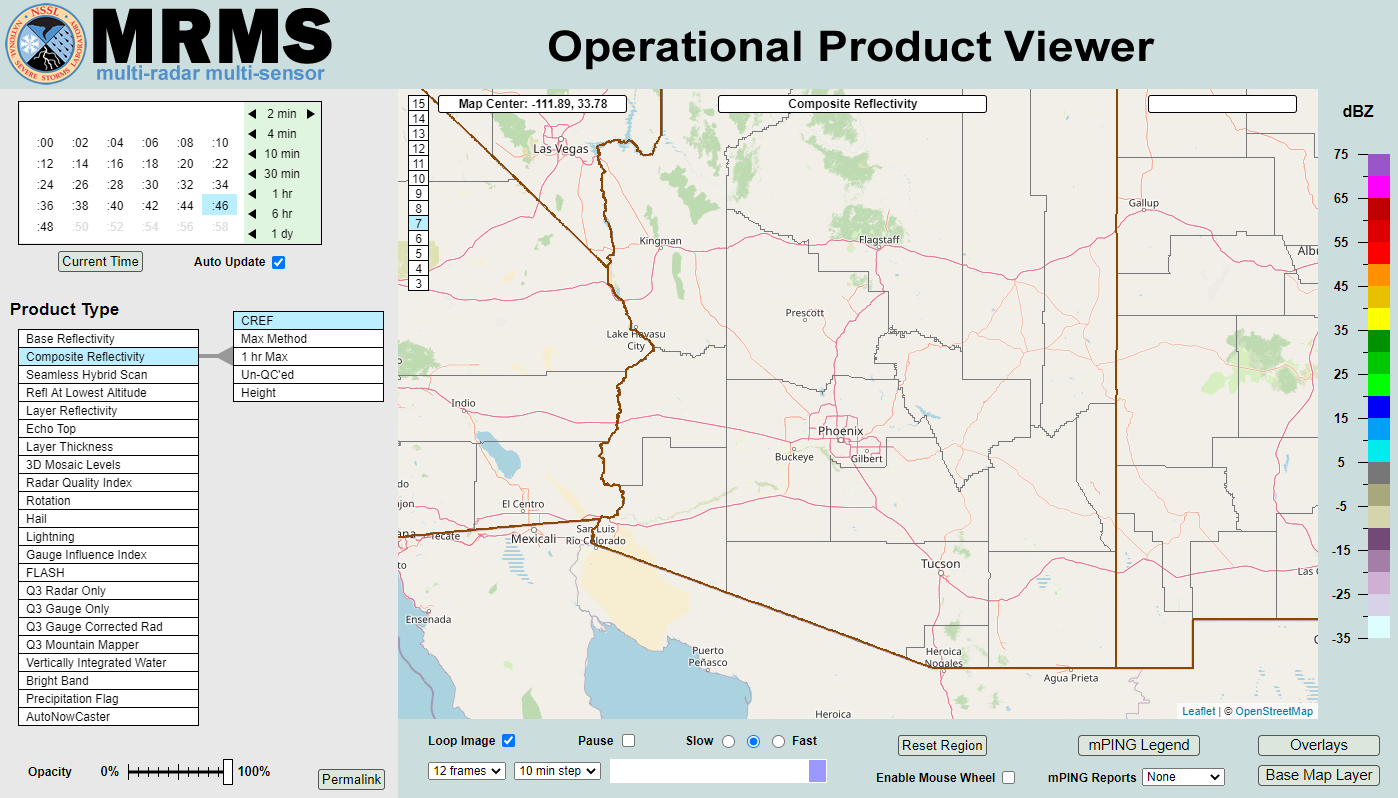 MRMS Radar Imagery
 Phoenix Radar
 Yuma Radar
 Regional Satellite
 GOES-19 Satellite
.PNG) Weather & Hazards Data Viewer
Weather & Hazards Data Viewer Forecast Discussion
 Fast Page
 Social Media
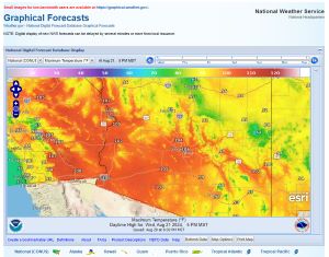 Local Graphical Forecast
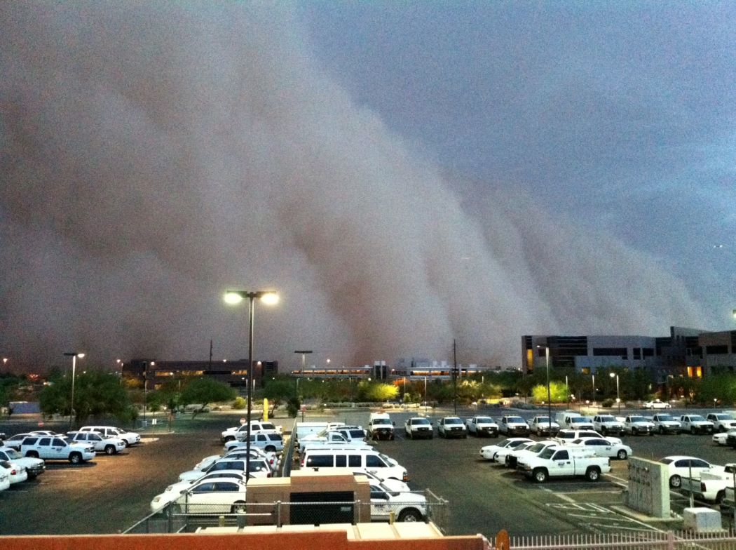 Monsoon Tracker
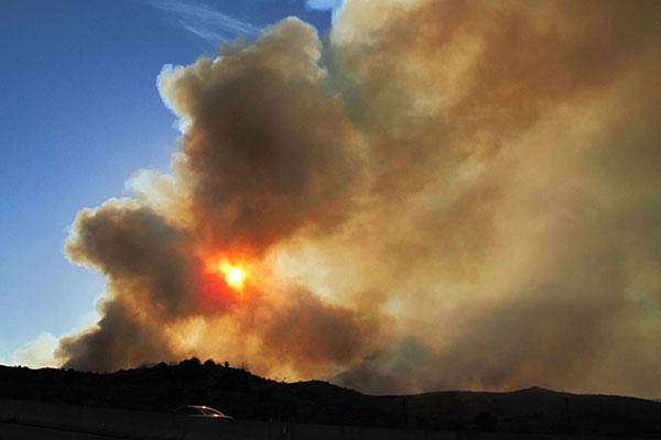 Fire Weather
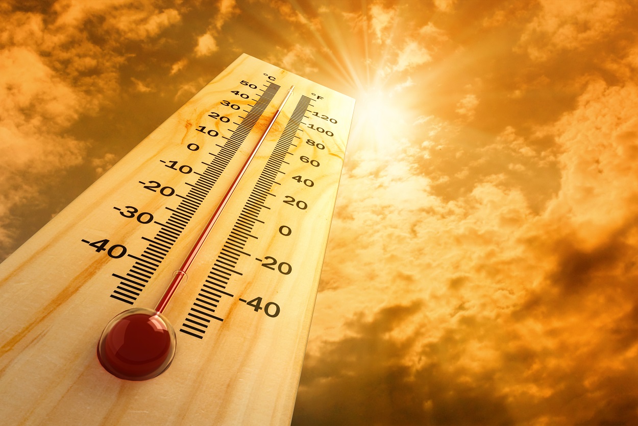 Heat
Heat Experimental Graphical HWO
 SPC Outlooks
 Hurricane Outlook
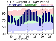 Local Climate Information
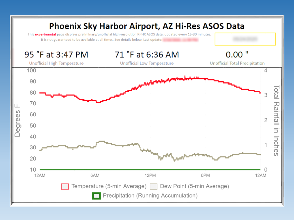 Hi-res KPHX ASOS Data