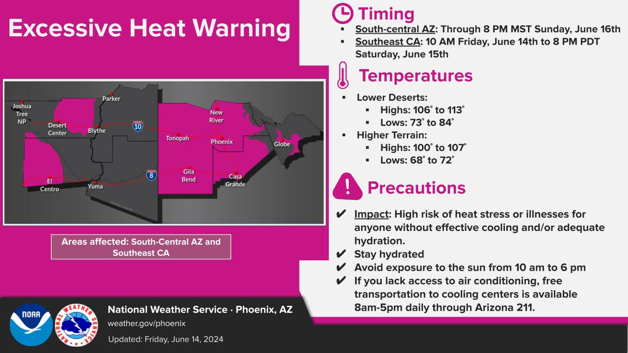
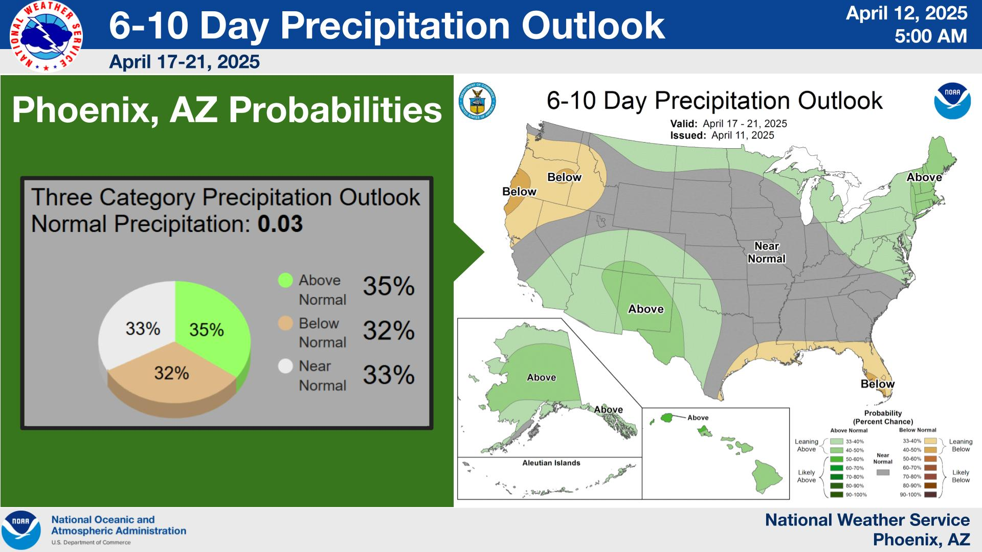
Near record temperatures with widespread major to extreme HeatRisk can be expected through the weekend. Temperatures will gradually cool next week, but still remain above normal. Storm chances through early next week will be mainly confined to the higher terrain areas of eastern and southeastern AZ, with chances increasing across the lower deserts middle to late next week.


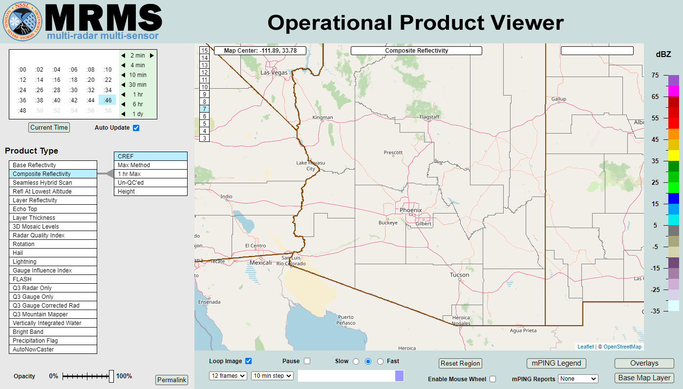 MRMS Radar Imagery
 Phoenix Radar
 Yuma Radar
 Regional Satellite
 GOES-19 Satellite
.PNG) Weather & Hazards Data Viewer
Weather & Hazards Data Viewer Forecast Discussion
 Fast Page
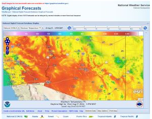 Local Graphical Forecast
 Drought Monitor
 Monsoon Tracker
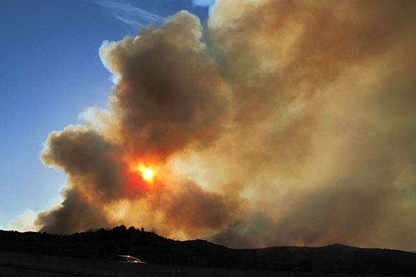 Fire Weather
 Heat
Heat Experimental Graphical HWO
 SPC Outlooks
 Hurricane Outlook
 Local Climate Charts
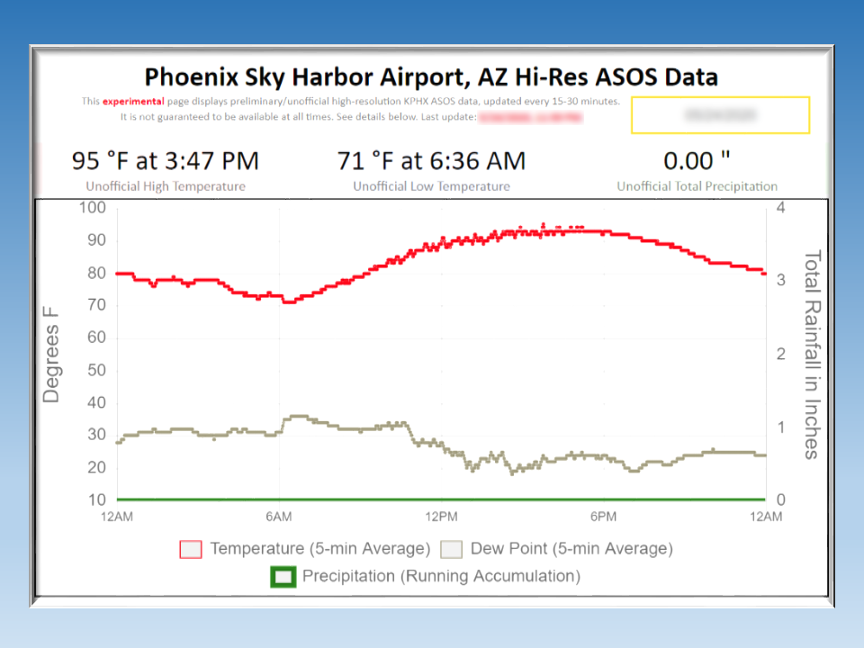 Hi-res KPHX ASOS Data