National Weather Service United States Department of Commerce
Click a location below for detailed forecast.

Last Map Update: Tue, Jul 14, 2026 at 10:56:25 am MST

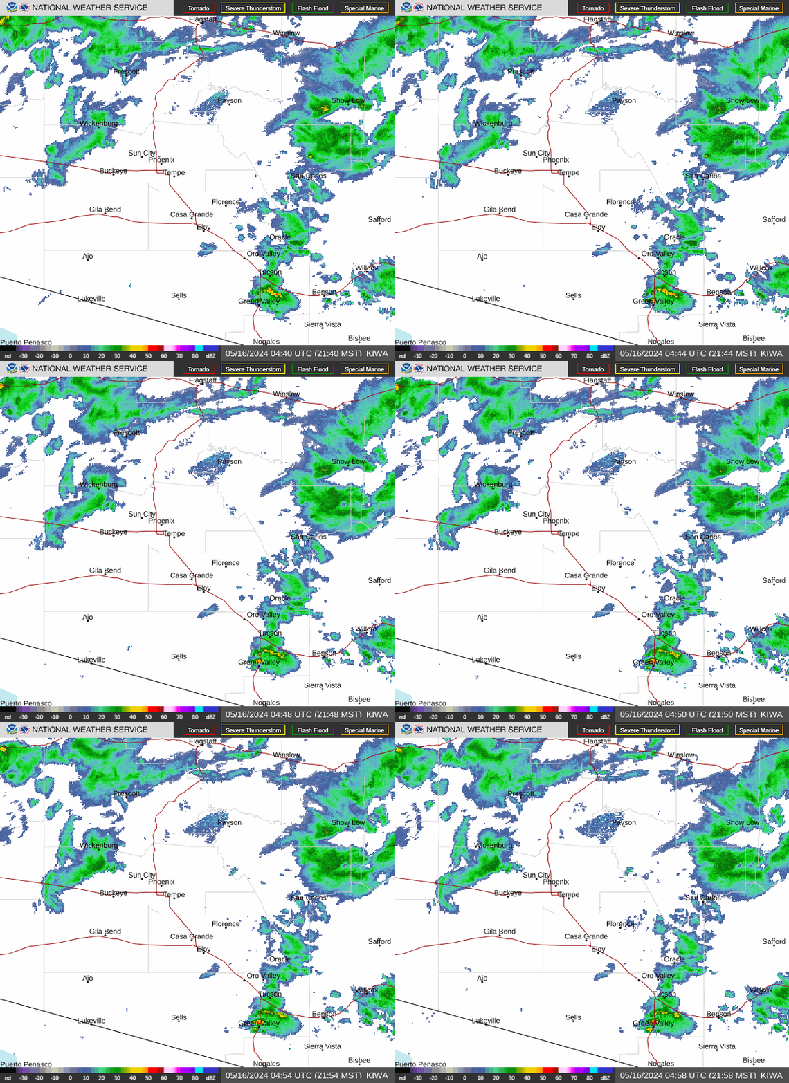
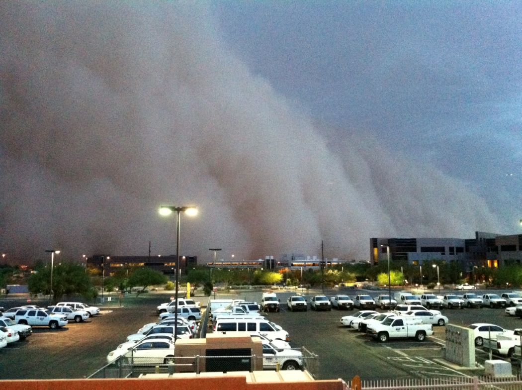
Scattered showers and thunderstorms will form over the high terrain east of the Phoenix area and may send westward propagating outflows towards South-Central AZ into the evening. Chances for new storm formation over the lower deserts are lower today (less than 15%). The main concerns remain strong gusty winds and the potential for some blowing dust if any strong or more organized outflows push into the lower elevations.
A weather disturbance will act to increase the coverage of thunderstorms across the lower deserts later this week. Better moisture levels will overspread the region, and thunderstorm hazards are likely to transition from severe winds & dust to primarily flash flooding. The greatest coverage of showers and storms across the state is currently forecast on Wednesday and Thursday.
A disturbance approaching from the east will support increasing coverage of storms across the state, especially by Thursday, and an even more moist environment will allow for efficient, heavy rainfall with any thunderstorms that do develop. As such, the probabilities for excessive rainfall leading to rapid onset flooding will increase daily through Thursday. Flash flooding is the deadliest thunderstorm-related hazard. If you encounter flooded roadways, remember: turn around, don't drown!
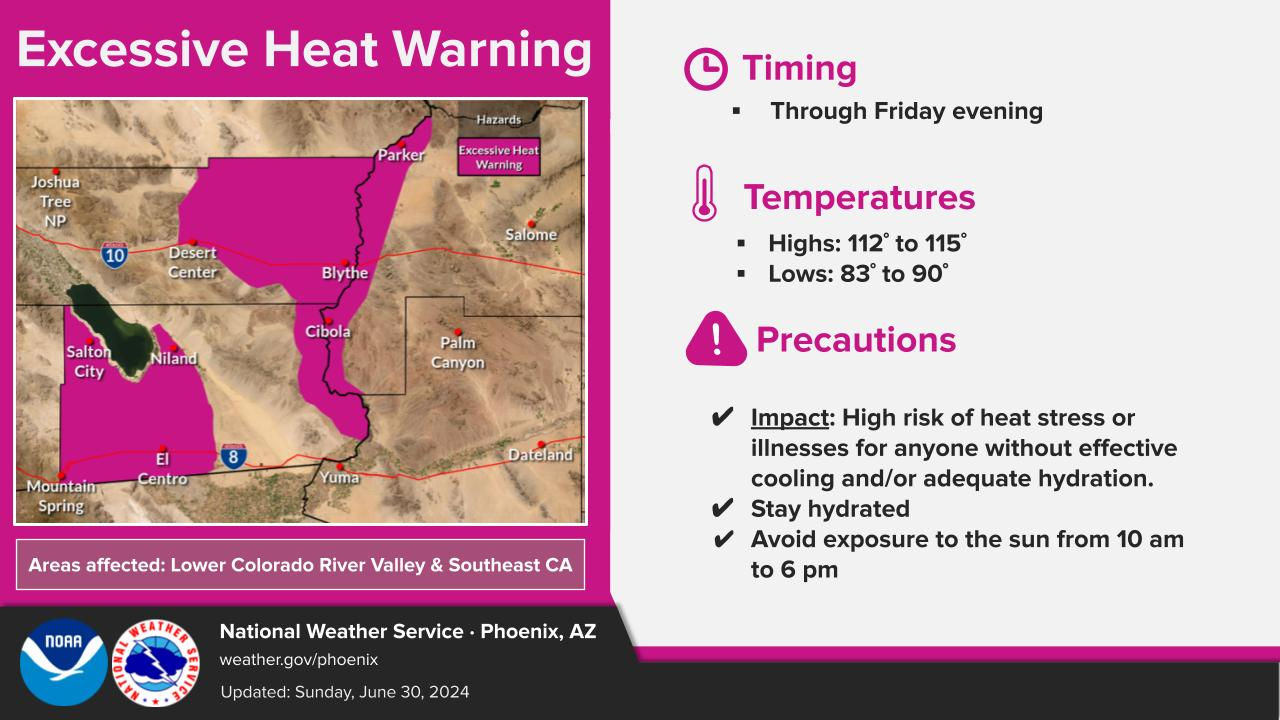
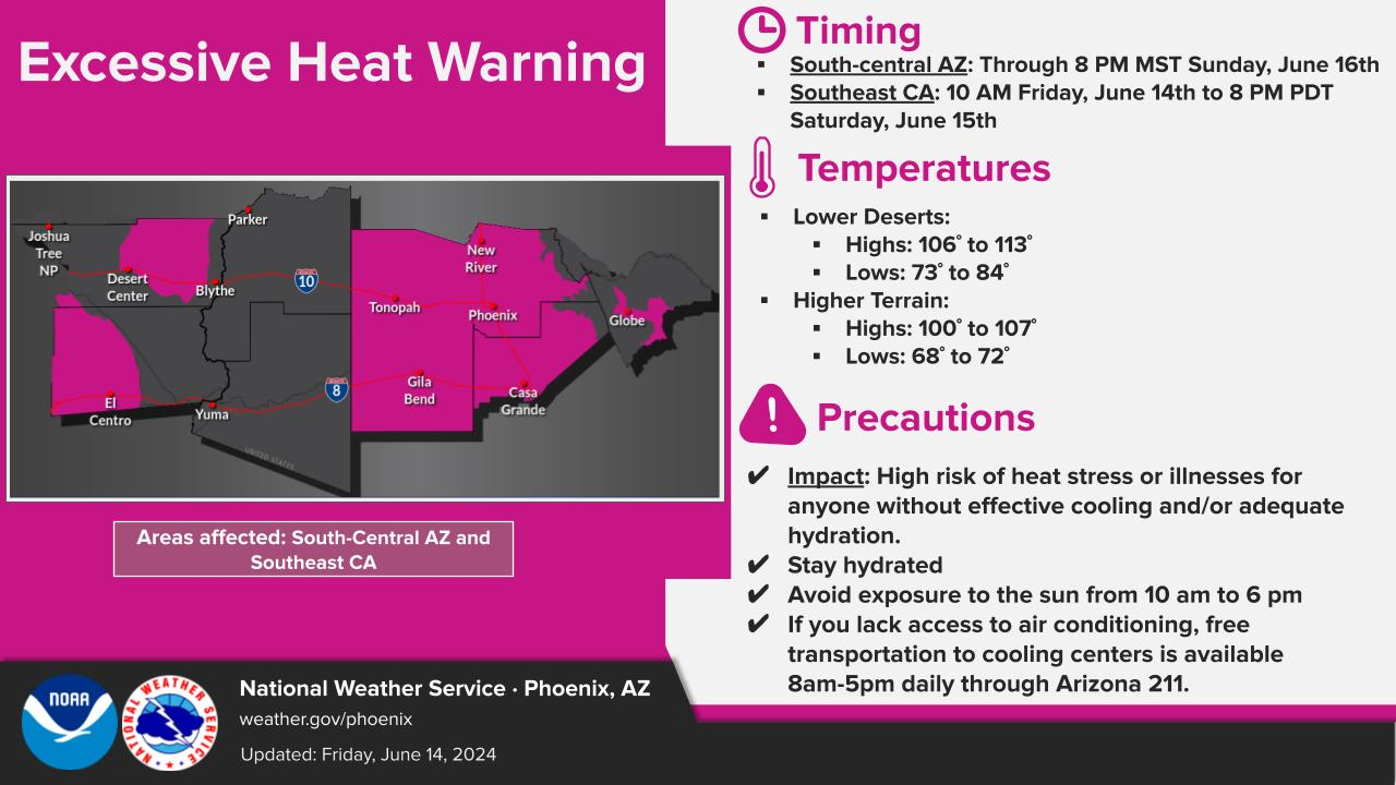
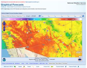
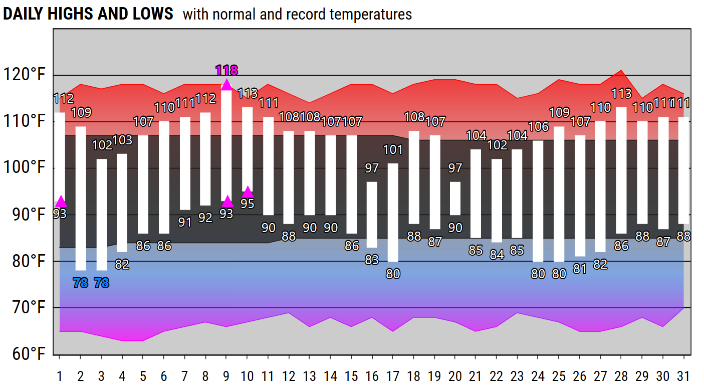
High pressure aloft, very high humidity, and mostly sunny skies during the daytime hours will allow for above normal temperatures the next few days for portions of Southwest AZ and Southeast CA and very warm overnight lows. In fact, overnight lows in the 80s and even near 90F look like they will be common through Thursday morning in some of the hottest areas. The high humidity will make afternoon highs feel hotter than the actual air temperatures, with Heat Indices forecast upwards of 110° to as much as 122° in the Imperial Valley. As such, an Extreme Heat Warning will be in effect for the indicated area Today through Thursday.
High pressure over the region in combination with slight day to day variations in moisture/cloud cover will allow temperatures to fluctuate near to above normal through the middle of the week, leading to widespread Moderate HeatRisk. Practice smart heat safety by drinking plenty of water and electrolytes and reducing your time outside during the afternoons. Cooler temperatures are then expected to arrive late week as a disturbance impinges on the Desert Southwest, bringing chances for widespread rainfall and more persistent cloud cover.


Text Product Selector (Selected product opens in current window)