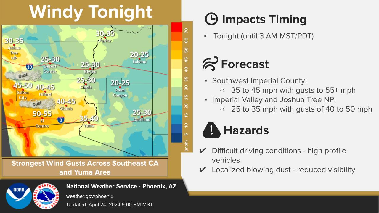
Scattered showers and thunderstorms will form over the high terrain north northeast of the Phoenix area and over portions of Southeast AZ, then likely send outflows towards South-Central AZ in the mid-late afternoon. While some storms may form along/behind outflows as the enter the lower elevation of South-Central AZ, we may see a collision of outflows from the northeast and southeast, meeting somewhere likely south and west of the Phoenix Metro, bringing the best chances and conditionally better coverage of lower desert storms if it happens. All the hazards including wind gusts neat T-storms upwards of 35 mph, blowing dust (especially south/west of the Phoenix area), and locally heavy rainfall are on the table.


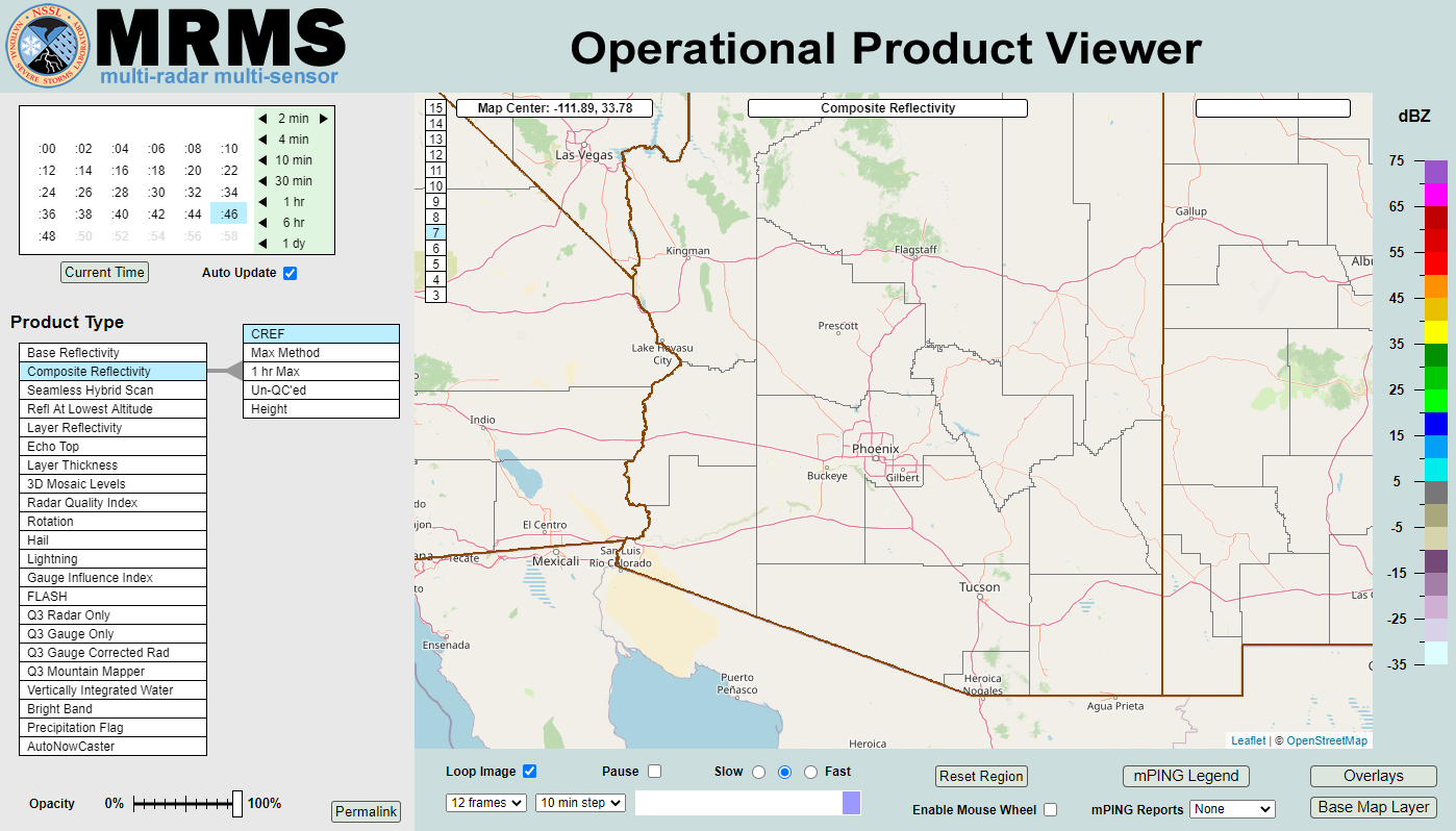 MRMS Radar Imagery
 Phoenix Radar
 Yuma Radar
 Regional Satellite
 GOES-19 Satellite
.PNG) Weather & Hazards Data Viewer
Weather & Hazards Data Viewer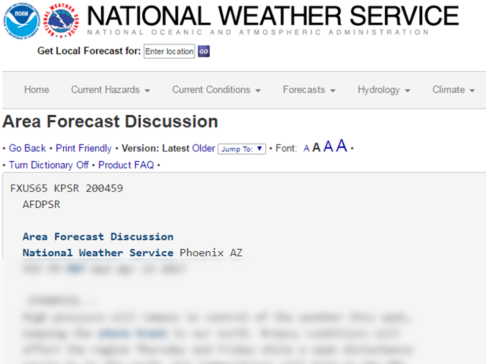 Forecast Discussion
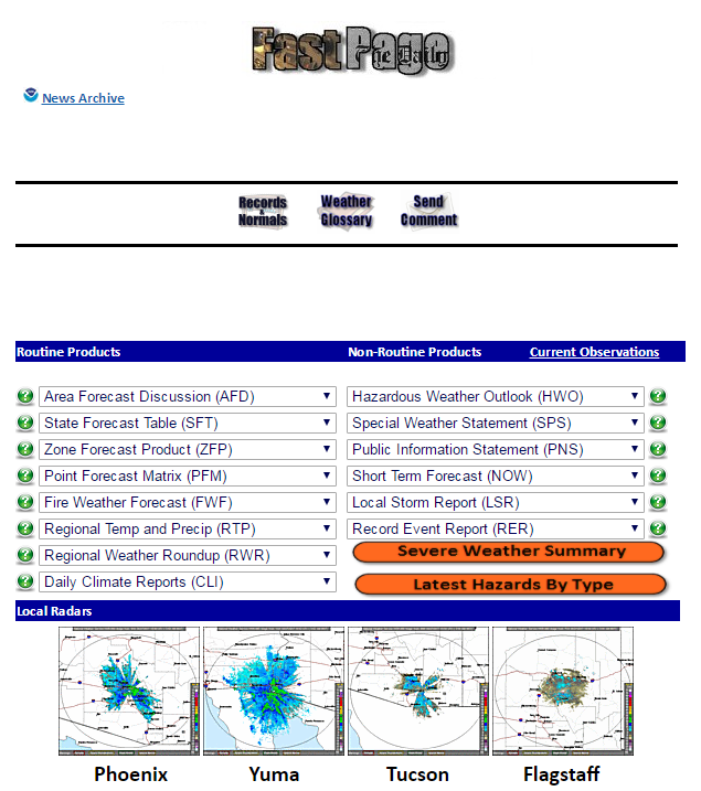 Fast Page
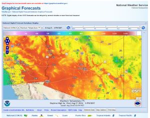 Local Graphical Forecast
 Drought Monitor
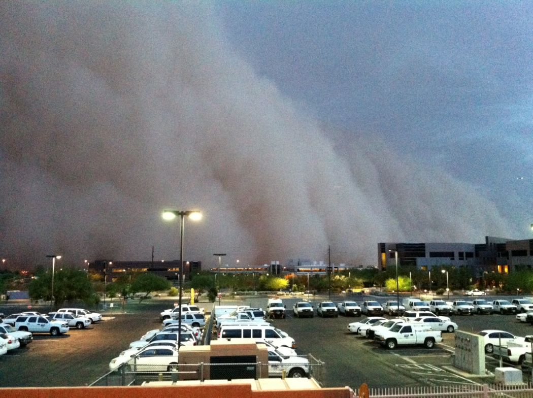 Monsoon Tracker
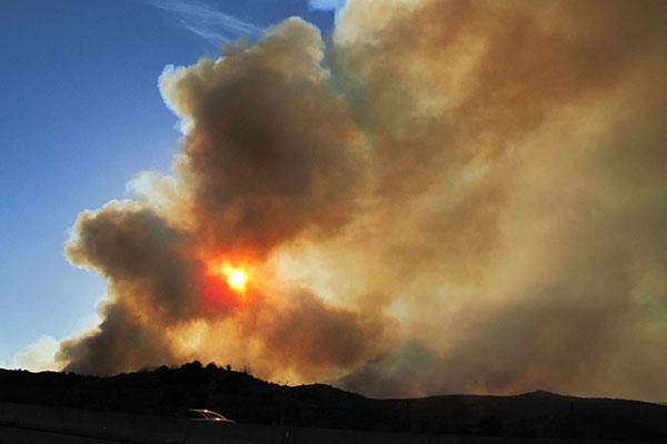 Fire Weather
 Heat
Heat Experimental Graphical HWO
 SPC Outlooks
 Hurricane Outlook
 Local Climate Charts
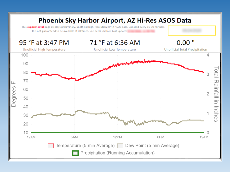 Hi-res KPHX ASOS Data